Download the The State Of Vermont Facts & Worksheets
Click the button below to get instant access to these worksheets for use in the classroom or at a home.
Download This Worksheet
This download is exclusively for KidsKonnect Premium members!
To download this worksheet, click the button below to signup (it only takes a minute) and you'll be brought right back to this page to start the download!
Sign Me Up
Edit This Worksheet
Editing resources is available exclusively for KidsKonnect Premium members.
To edit this worksheet, click the button below to signup (it only takes a minute) and you'll be brought right back to this page to start editing!
Sign Up
Download This Sample
This sample is exclusively for KidsKonnect members!
To download this worksheet, click the button below to signup for free (it only takes a minute) and you'll be brought right back to this page to start the download!
Sign Me Up
Table of Contents
Vermont is a state in the New England region of the northeastern United States. Vermont is the 6th smallest in area and the 2nd least populous of the 50 United States. It is the only New England state not bordering the Atlantic Ocean. See the fact file below for more information about Vermont or download the comprehensive worksheet pack which can be utilised within the classroom or home environment.
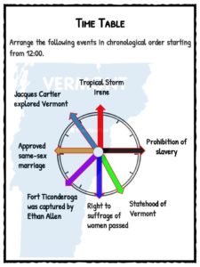
- The land of Vermont was first explored by the French Jacques Cartier in 1535 but the first European settlement was built by the British in Fort Drummer during the 1700s. King George III made the territory a part of New York in 1764. During the American Revolution, Ethan Allen and Benedict Arnold both military men captured Ticonderoga.
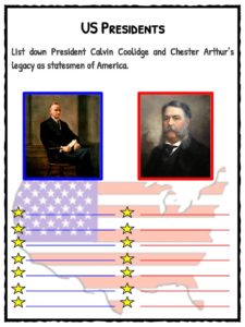
- The Battle of Hubbardton took place in Vermont during the revolution. On the same year 1777, they declared independence from the British government. In March 4, 1791 it became the 14th state of America. During the Civil War of 1864, St. Albans was attacked following the presidency of Chester Arthur, a native of Vermont.
- During the 1900s, women of Vermont fought and the rights that they wanted. First, they were granted the rights to vote in town elections in 1918. Three years later the Women’s Suffrage law was passed enabling them to vote and run for public office. In the mid of the century Consuelo Bailey was elected as the first woman lieutenant and Madeleine Kunin as the first woman governor of the state.
- Today, Vermont is well known for the production of maple syrup, dairy farming, cheese, teddy bears, butter, micro breweries, ginseng, snowboards, chocolate, and flour. Land of 625,741 people inhabiting 9,620 sq. miles of the total area.
Key Statistical Information On Vermont
Capital
Montpelier
Became a State
March 4, 1791 (14th)
Location
New England region of United States
Area
9,620 sq. miles (45th)
Population
625,741 (49th)
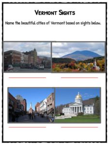
Major Cities
Burlington, Montpelier, Newport, Rutland, Bennington, Brattleboro
Products
maple syrup, dairy farming, cheese, teddy bears, butter, micro breweries, ginseng, snowboards, chocolate, flour
Climate
continental moist climate, with warm, humid summers and cold winters
Yearly Precipitation
averages 34 inches
Professional Sports Teams
no professional sports teams
Major Waterways
West River, Otter River, Lake Champlain, Connecticut River
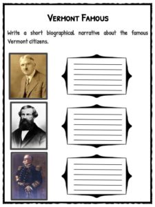
Most Famous Citizens
Calvin Coolidge(United States President)
Chester A. Arthur (United States President)
John Deere (inventor)
Stephen A. Douglas (politician)
Brigham Young (religious leader)
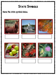
State Symbols
Bird – Hermit Thrush
Flower – Red Clover
Animal – Morgan Horse
Tree – Sugar Maple
Insect – Honeybee
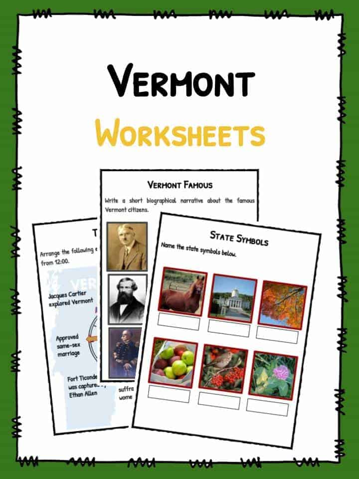
Vermont Worksheets
This bundle contains 11 ready-to-use Vermont Worksheets that are perfect for students who want to learn more about Vermont which is a state in the New England region of the northeastern United States. Vermont is the 6th smallest in area and the 2nd least populous of the 50 United States.
What’s included?

Download includes the following worksheets:
- Vermont Facts
- Time Table
- Vermont Famous
- State Symbols
- The Green Mountain Boys
- Vermont Sights
- The State Flag
- Battle of Hubbardton
- City Search
- US Presidents
- Women of Vermont
Link/cite this page
If you reference any of the content on this page on your own website, please use the code below to cite this page as the original source.
Link will appear as The State Of Vermont Facts & Worksheets: https://kidskonnect.com - KidsKonnect, March 8, 2017
Use With Any Curriculum
These worksheets have been specifically designed for use with any international curriculum. You can use these worksheets as-is, or edit them using Google Slides to make them more specific to your own student ability levels and curriculum standards.