Premium  Download Edit
Download the Columbia River Facts & Worksheets
Click the button below to get instant access to these worksheets for use in the classroom or at a home.
Download This Worksheet
This download is exclusively for KidsKonnect Premium members!
To download this worksheet, click the button below to signup (it only takes a minute) and you'll be brought right back to this page to start the download!
Sign Me Up
Edit This Worksheet
Editing resources is available exclusively for KidsKonnect Premium members.
To edit this worksheet, click the button below to signup (it only takes a minute) and you'll be brought right back to this page to start editing!
Sign Up
Not ready to purchase a subscription? Click to download the free sample version Download sample
Download This Sample
This sample is exclusively for KidsKonnect members!
To download this worksheet, click the button below to signup for free (it only takes a minute) and you'll be brought right back to this page to start the download!
Sign Me Up
Table of Contents
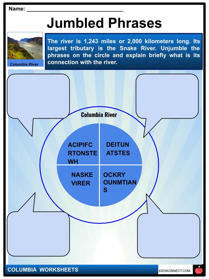
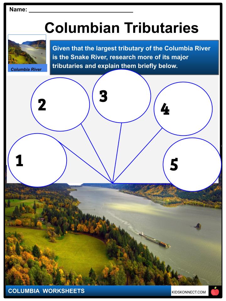
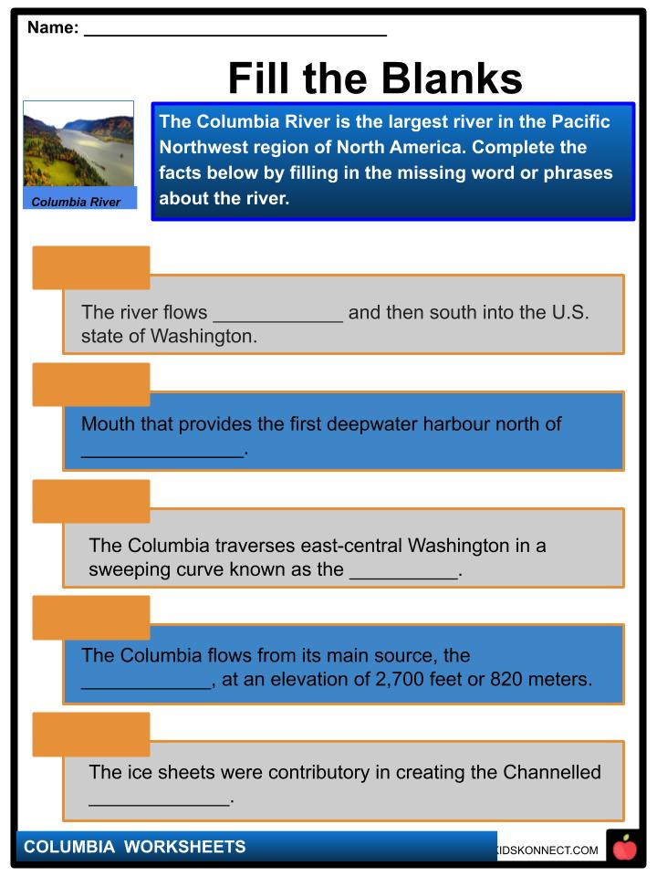
The Columbia River is the largest river in the Pacific Northwest region of North America. The river is 1,243 miles or 2,000 kilometer long. Its largest tributary is the Snake River. The fourth-largest river in the United States by volume, the Columbia has the greatest flow of any North American river entering the Pacific.
See the fact file below for more information on the Columbia River or alternatively, you can download our 21-page Columbia River worksheet pack to utilise within the classroom or home environment.
Key Facts & Information
DESCRIPTION
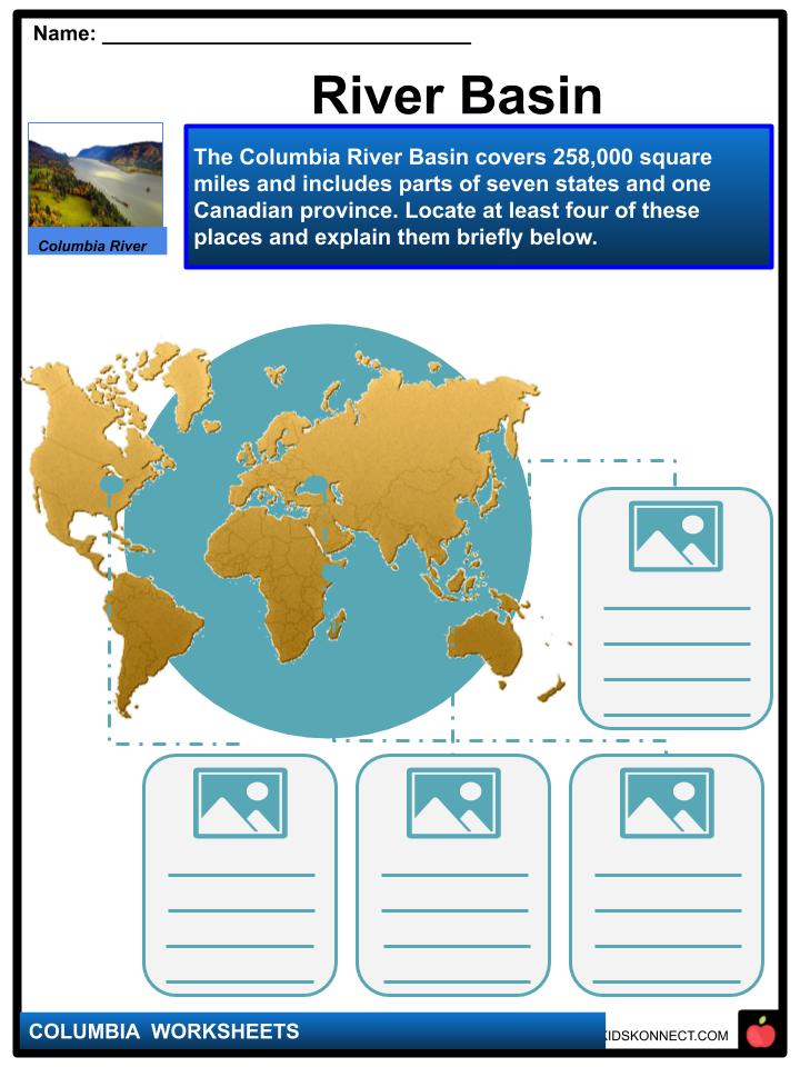
- The Columbia River Basin covers 258,000 square miles and includes parts of seven states and one Canadian province.
- The Columbia is one of the world’s greatest sources of hydroelectric power and, with its tributaries, represents a third of the potential hydropower of the United States.
- In addition, its mouth provides the first deepwater harbour north of San Francisco.
- The river begins in the Rocky Mountains of British Columbia, Canada.
- It flows northwest and then south into the U.S. state of Washington, then turns west to form most of the border between Washington and the state of Oregon before emptying into the Pacific Ocean.
PHYSIOGRAPHY AND HYDROLOGY
- High flows occur in late spring and early summer while low flows occur in autumn and winter, causing water shortages at the river’s hydroelectric plants.
- The Columbia flows from its main source, the Columbia Lake, at an elevation of 2,700 feet (820 metres), in British Columbia near the crest of the Rocky Mountains, to the Pacific Ocean at Astoria, Oregon.
- Columbia traverses east-central Washington in a sweeping curve known as the Big Bend, where its prehistoric course was directed first by lava flows and then later by ice sheets.
- The ice sheets were contributory in creating the Channelled Scablands, a series of coulees (steep-walled ravines) trending northeast-southwest in the northern part of the Columbia Plateau.
- The scablands were shaped as immense torrents of water, released intermittently from ice-dammed lakes upstream, swept down-valley.
- Tides flow upriver for 140 miles or 225 kilometers. Portland, Oregon, and Vancouver, Washington are the upper limit of oceangoing navigation, assisted by a dredged channel. Through the use of a series of locks, barge traffic is made possible to Lewiston, Idaho, more than 460 miles or 740 kilometers inland from the river’s mouth at the junction of the Clearwater and Snake. rivers.
CLIMATE
- The Columbia River basin’s climate, strongly affected by orographic influences, is partly continental and partly marine.
- The Rocky Mountains to the east block out most of the severe winter storms of the interior of the continent, and the Cascade Range to the west shields the basin from moist Pacific Ocean air.
- West of the Cascades the climate is marine-influenced, with long, rainy winters and cool, dry summers.
RIVER COURSE
- The Columbia rises from its source in Columbia Lake, at an elevation of 2,700 feet or 820 meters, in British Columbia near the crest of the Rocky Mountains up to the Pacific Ocean at Astoria, Oregon.
- During its first 190 miles (305 km), its course flows northwesterly. It’s then directed to the south for 270 miles (435 km) to the border of Canada and the United States (elevation 1,290 feet [390 metres), where it enters northeastern Washington.
- The Columbia River traverses east-central Washington in a sweeping curve known as the Big Bend, where its prehistoric course was directed first by lava flows and then later by ice sheets.
PLANT AND ANIMAL LIFE
- Native vegetation at the lower part of the interior basin is mostly of the shrub-steppe variety, dominated by sagebrush and bunchgrasses.
- Through the increasing elevation, shrub-steppe gives way to ponderosa pines and then to firs, larches, and other pines. Grazing and farming eliminated more than half of the original shrub-steppe vegetation. Cheatgrass has become a troublesome invader.
- Greasewood and alkali saltgrass dominate on poorly drained saline soils, while willows and black cottonwoods dominate along watercourses. West of the Cascades, forests of Douglas firs with hemlocks and western red cedars prevail in upland areas.
- The Columbia River was abundant in animal life and varied prior to white settlement. There were notable great runs of salmon and steelhead trout; communities of beavers, deer, elk, bears, and bighorn sheep; flocks of waterfowl and upland birds, including eagles, ospreys, hawks, and falcons; and numbers of western rattlesnakes.
- The ability of the region to sustain large populations of wildlife has been drastically reduced, especially for salmon and beavers. Bald eagles and peregrine falcons were once listed as endangered but eventually recovered in numbers throughout the region.
- However, there has been continued concern over the declining number of salmon, despite the presence of fish ladders and other passage facilities designed to make possible the continued annual upstream run of spawning salmon beyond dams on the river.
ECONOMY
- Numerous controversies have marked the economic development of the Columbia River. Significant among these have been the division of responsibility between public and private agencies, the effect on the fish life particularly salmon and loss of traditional Indian fishing sites, proposals for a Columbia Valley Authority, the proper rate of interest to be charged on the federal government’s investment in hydroelectric power development, and arrangements for sharing power-generating revenues and costs with Canada for upstream storage reservoirs in British Columbia.
- Nonetheless, exploiting the river’s hydroelectric and irrigation potentials has been instrumental in developing the region’s economy.
Columbia River Worksheets
This is a fantastic bundle which includes everything you need to know about the Columbia River across 21 in-depth pages. These are ready-to-use Columbia River worksheets that are perfect for teaching students about the Columbia River which is the largest river in the Pacific Northwest region of North America. The river is 1,243 miles or 2,000 kilometer long. Its largest tributary is the Snake River. The fourth-largest river in the United States by volume, the Columbia has the greatest flow of any North American river entering the Pacific.

Complete List Of Included Worksheets
- Columbia Facts
- Jumbled Phrases
- Columbian Tributaries
- River Basin
- Hydroelectric Generation
- Fill the Blanks
- DD Challenge
- Columbia River Page
- Columbia Settlement
- Columbia River Timeline
- Importance of the River
Link/cite this page
If you reference any of the content on this page on your own website, please use the code below to cite this page as the original source.
Link will appear as Columbia River Facts & Worksheets: https://kidskonnect.com - KidsKonnect, February 5, 2020
Use With Any Curriculum
These worksheets have been specifically designed for use with any international curriculum. You can use these worksheets as-is, or edit them using Google Slides to make them more specific to your own student ability levels and curriculum standards.


