Premium
 Download
Edit
Download
Edit
Download the Drakensberg Mountains Facts & Worksheets
Click the button below to get instant access to these worksheets for use in the classroom or at a home.
Download This Worksheet
This download is exclusively for KidsKonnect Premium members!
To download this worksheet, click the button below to signup (it only takes a minute) and you'll be brought right back to this page to start the download!
Sign Me Up
Edit This Worksheet
Editing resources is available exclusively for KidsKonnect Premium members.
To edit this worksheet, click the button below to signup (it only takes a minute) and you'll be brought right back to this page to start editing!
Sign Up
Not ready to purchase a subscription? Click to download the free sample version Download sample
Download This Sample
This sample is exclusively for KidsKonnect members!
To download this worksheet, click the button below to signup for free (it only takes a minute) and you'll be brought right back to this page to start the download!
Sign Me Up
Table of Contents
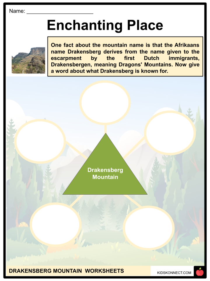
The escarpment’s original Dutch name, Drakensbergen, or the Dragons’ Mountains, is where the Afrikaans name Drakensberg came from. The Great Escarpment’s highest point is uKhahlamba in Zulu and Maluti in Sotho (“Barrier of up-pointed spears”).
See the fact file below for more information on the Drakensberg Mountains or you can download our 28-page Drakensberg Mountains worksheet pack to utilize within the classroom or home environment.
Key Facts & Information
Location of the Drakensberg Mountains
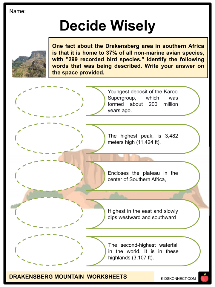
- The East section of the Great Escarpment, which encloses the plateau in the center of Southern Africa, is known as the Drakensberg (African: Drakensberge; Zulu: uKhahlamba; Sotho: Maluti).
- The Great Escarpment rises to its highest point between the countries of South Africa and Lesotho, where it ranges in elevation from 2,000 to 3,482 meters (6,562 to 11,424 feet).
- Lesotho’s border with the Eastern Cape and its border with KwaZulu-Natal Province are both formed by the Drakensberg escarpment, which extends for more than 1,000 kilometers (600 miles) from the Eastern Cape Province in the south.
- It then serves as the border between KwaZulu-Natal and the Free State and then between KwaZulu-Natal and the province of Mpumalanga.
- The escarpment runs through Mpumalanga, passing places like the Blyde River Canyon, Three Rondavels, and God’s Window.
- Then it continues farther north, reaching Hoedspruit in southeast Limpopo, where the Afrikaners refer to it as “Klein Drakensberg.”
- It spans from Hoedspruit to Tzaneen in the west and is also referred to as the Wolkberg Mountains and Iron Crown Mountain.
- Tzaneen is also located in the province of Limpopo. The Wolkberg is at 2,200 meters (7,200 feet) above sea level, the highest point in Limpopo.
- Once more extending westward, the escarpment is referred to as the Strydpoort Mountains in Mokopane.
Geological Origins
- The Drakensberg is the entire eastern portion of the Great Escarpment. It is made up of steep rift valley walls formed around a bulging continental crust during the breakup of southern Gondwana. At roughly the 22° S parallel, the Drakensberg ends in the north towards Tzaneen. The Great Escarpment is absent for around 450 kilometers (280 miles) to the north of Tzaneen until reappearing in the Chimanimani Mountains on the boundary between Zimbabwe and Mozambique.
- This is because the westerly branch of the central rift, which was supposed to separate Antarctica from southern Africa during the split of Gondwana about 150 million years ago, failed.
- The relict incipient rift valley, which is now a part of the South African Lowveld, is where the lower Limpopo River and Save River empty into the Indian Ocean.
- Most of the plateau is above 1,000 m (3,300 ft) despite considerable erosion because southern Africa has undergone a massive raising during the past 20 million years, notably towards the east.
- As a result of its tilt, the plateau is highest in the east and slowly dips westward and southward. In most cases, the eastern escarpments’ edge rises above 2,000 meters (6,600 ft).
- The escarpment, a portion of the international border between Lesotho and the South African province of KwaZulu-Natal, reaches its highest point at more than 3,000 m (9,800 ft).
Geomorphology
- Appearance: From below, the escarpment appears to be a chain of mountains. The Limpopo, Mpumalanga, and Lesotho Drakensberg combine steep-sided rocks and pinnacles with hard, erosion-resistant upper surfaces, giving them a particularly rough appearance (giving rise to the Zulu name “Barrier of up-pointed spears”).
- The Drakensberg upper elevations have a somewhat periglacial climate. Recent climate change has probably lessened periglaciation severity.
- It is uncertain who first gave these mountains the name Drakensberg in Afrikaans or Dutch and why. The KwaZulu-Natal – Free State Drakensberg are made of softer rocks, giving them a more rounded, gentler appearance from below.
- The escarpment top is typically nearly flat and smooth in Lesotho. Away from the Drakensberg escarpment, erosion gullies transform into deep valleys that are home to tributaries of the Orange River, giving rise to the “Lesotho Mountains.”
- Knight and Grab examined the distribution of lightning strikes in the Drakensberg and found that because lightning helps to shape the summit areas, the highest places, this blasting impact profoundly influences mountain landscape evolution.
- Before this, it was thought that changes typical of cold, periglacial conditions, such as frost-induced fracture, caused angular debris to form.
- Making Up of Rock: The Drakensberg (escarpment wall) has a diverse geological makeup across its more than 1000 km range. The Transvaal Supergroup, which also creates the Magaliesberg to the north and northwest of Pretoria, contains an erosion-resistant quartzite layer that forms the crown of the Limpopo and Mpumalanga Drakensberg.
- These rocks date back more than two billion years. Ecca shales, 300 million years old and a part of the Karoo Supergroup, make up the Drakensberg escarpment south of the 26°S parallel.
- The area of the Drakensberg that separates KwaZulu-Natal and the Free State is made up of the slightly younger Beaufort rocks (250 million years old), which are also a part of the Karoo Supergroup.
- The sedimentary rocks that make up the Ecca and Beaufort groups of the Drakensberg escarpment are more susceptible to erosion than the other rocks.
- As a result, this section of the Drakensberg is not as stunning as its counterparts in Mpumalanga and Lesotho.
- A thick layer of basalt (lava) from an eruption 180 million years ago makes up the Eastern Cape Drakensberg and the Drakensberg, which make up Lesotho’s northeastern and eastern limits.
- The Clarens sandstone, the youngest deposit of the Karoo Supergroup, which was formed about 200 million years ago under arid conditions, rests on top of that stratum.
- HIGHEST PEAK: Thabana Ntlenyana, the highest peak, is 3,482 meters high (11,424 ft).
- Other notable peaks are Mafadi (3,450 m; 11,319 ft), Makoaneng (3,416 m; 11,207 ft), Njesuthi (3,408 m; 11,181 ft), Champagne Castle (3,377 m; 11,079 ft), Giant’s Castle (3,315 m; 10,876 ft), Ben Macdhui (3,001 m; 9,846 ft), and Popple before approaching Mpumalanga, where the Transvaal Drakensberg quartzite mountains are loftier and more broken, and they form the eastern rim of the Transvaal Basin with the Blyde River Canyon located there, the range north of Lesotho becomes lower and less rocky.
- This section’s geology is identical to and contiguous with that of the Magaliesberg.
Ecology
- The Drakensberg alti-montane grasslands and woodlands ecoregion is the term used by the World Wide Fund for Nature to define the tall, treeless summits of the Drakensberg (from 2,500 m (8,200 ft) higher).
- Being far from the equator than other mountain ranges, these steep slopes offer colder ecosystems at lower elevations than most of the continent’s mountain ranges. They are the most southerly high mountains in Africa.
- Numerous mountain streams and rivers are created by heavy rainfall, including the origins of the Tugela River and the Orange River, the longest rivers in southern Africa.
- The Tugela Falls (Thukela Falls), which has a total drop of 947 meters, is the second-highest waterfall in the world. It is in these highlands (3,107 ft).
- The rivers flowing from the Drakensberg are a crucial resource for South Africa’s economy because they supply water to the industrial provinces of Mpumalanga and Gauteng, including Johannesburg.
- The high elevations have a wet and cool climate, and they occasionally get snowfall in the winter.
- The Drakensberg montane grasslands, woodlands, and forests ecoregion is made up of the grassy lower slopes of the Drakensberg, which range in elevation from 1,800 to 2,500 m (5,900 to 8,200 ft) in Eswatini, South Africa, and Lesotho.
- Flora: The mountains are abundant with plant life, including many species classified in the Red Data Book of vulnerable species, with 119 species categorized as globally endangered, and “of the 2 153 plant species in the park, a remarkable 98 are endemic or near-endemic.”
- The tussock grass, creeping plants, and tiny shrubs like ericas make up most of the high alti-montane grasslands’ plant life. Among these is the uncommon Spiral Aloe which has spiral-shaped leaves as its name suggests.
- The conifer species in the Drakensberg belong to the Podocarpus genus, which is unusual in Africa. In contrast, the lower slopes are primarily grassland. The grassland is noteworthy because it is home to numerous indigenous flora.
- Caterpillar grass, Cymbopogon dieterlenii, Sporobolus centrifugus, Monocymbium ceresiiforme, and Eulalia villosa are some of the grasses that may be found in this area.
- The composition of the flora varies according to the hardness of the rock clasts at Drakensberg’s highest region, independent of the slope aspect (direction). Even within a single landform, its hardness varies and is linked to weathering.
- Fauna: In southern Africa, 37% of all non-marine avian species are found in the Drakensberg region, which is “home to 299 documented bird species.”
- The Drakensberg is home to 24 different snake species, two of which are extremely dangerous.
- Fauna of the High Peaks: Mountain pipit is the only bird native to the high peaks, and the other six species are the Bush blackcap, buff-streaked chat, Rudd’s lark, Drakensberg rockjumper, and yellow-breasted pipit.
- Two raptors that hunt in the highlands are the lesser kestrel and the critically endangered Cape vulture.
- Animals include eland, mountain reedbuck, and klipspringer. Three frogs found in mountain streams are among the other endemic species; these are the Drakensberg river frog, the Phofung river frog, and the Maluti river frog.
- Fauna of the Lower Slopes. The southern white rhinoceros, saved from extinction here, and the black wildebeest are two of the many animals that live on the lower slopes of the Drakensberg (which, as of 2011, only thrives in protected areas and game reserves).
- Grazing animals, including antelopes such as eland, reedbuck, mountain reedbuck, grey rhebok, and even some oribi, can be seen in big herds in this area. Baboons called Chacma are also prevalent. Many chameleons and other reptiles are among the endemic species. The forest rain frog, one endemic species, and the long-toed tree frog, mournful rain frog, rough rain frog, and Poynton’s caco are all primarily found in these mountains.
Conservation
- The ecology is mostly unharmed since the steep slopes are difficult to access. However, the Drakensberg is becoming a popular tourist destination as new resorts, hotels, and hiking paths sprout up on the mountainside.
- A large part of the highest portions of the range in South Africa has been set aside as wilderness or game reserves.
- Protected areas make for 7% of the Drakensberg alti-montane grasslands and woods ecoregion.
- These include Natal National Park, Vergelegen Nature Reserve, Beaumont Nature Reserve, Lammergeier Highlands Nature Reserve, Giant’s Castle Game Reserve, Sehlabathebe National Park, Tsehlanyane National Park, Malekgalonyane Nature Reserve, and Loteni National Park.
- One of these, the uKhahlamba Drakensberg Park, was added to the UNESCO World Heritage List in 2000. The park is also listed among the Wetlands of International Importance (under the Ramsar Convention).
- This vast park complex includes the Royal Natal National Park, which has some higher peaks. The 1900ha Allendale Mountain Reserve is the largest private reserve next to the Ukhahlamba Drakensberg World Heritage Site. It is located in the easily accessible Kamberg area, the center of the Ukhahlamba’s ancient San (Bushman) painting region.
- However, agriculture, particularly overgrazing, has significantly impacted the grassland on the lower slopes. Although the Giant’s Castle reserve is a shelter for eland and a breeding habitat for the bearded vulture, nearly all of the original grassland and forest have vanished, necessitating further protection.
- Protected areas comprise 5.81% of the Drakensberg montane grasslands, woods, and forests ecoregion.
- They are Tsehlanyane National Park, Mountain Zebra National Park, Golden Gate Highlands National Park, Camdeboo National Park, and Kruger National Park.
SAN CAVE PAINTINGS
- The boundary between KwaZulu Natal and Lesotho has a layer of easily eroded sandstone called the Clarens Formation that lies beneath a thick, hard layer of basalt. These caverns include several San artworks (Bushmen).
- This region of the Drakensberg is home to the world’s biggest collection of San rock art, with between 35,000 and 40,000 pieces.
- Over 20,000 rock paintings have been found around 500 caves and overhanging sites between the Bushman’s Nek and Drakensberg Royal Natal National Park.
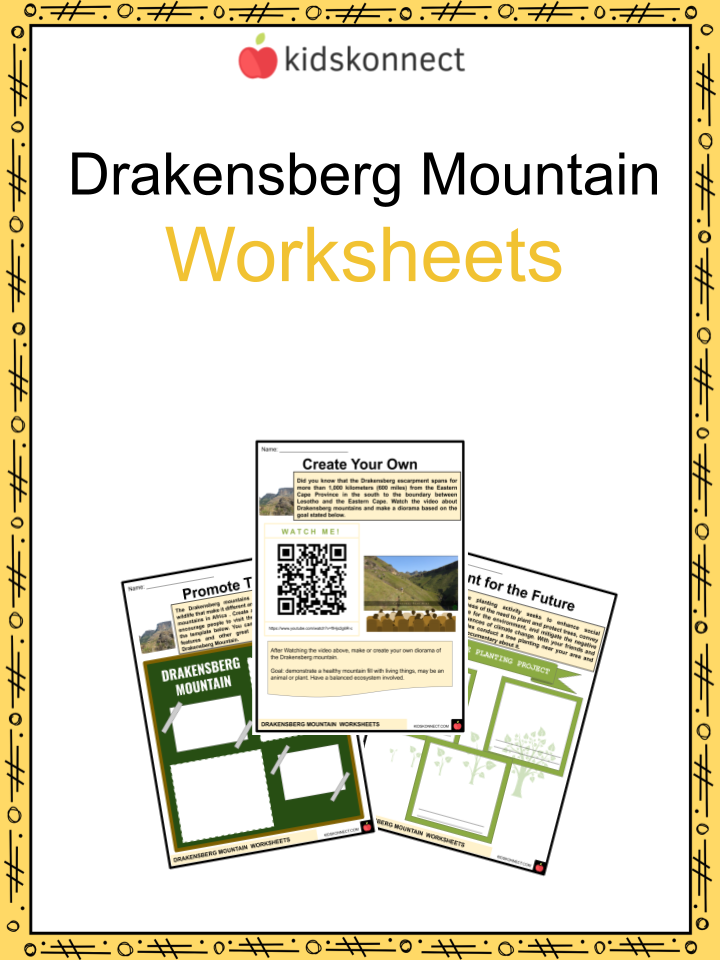
Drakensberg Mountain Worksheets
This fantastic bundle includes everything you need to know about the Drakensberg Mountains across 28 in-depth pages. These are ready-to-use worksheets that are perfect for teaching kids about the Drakensberg Mountains, also known as the Dragons’ Mountains, which is located in the eastern portion of the Great Escarpment.
Complete List of Included Worksheets
Below is a list of all the worksheets included in this document.
- Drakensberg Mountain Facts
- Decide Wisely
- Tree or Trick
- Enchanting place
- Species Observe
- Promote This
- Story to Tell
- Create Your Own
- Value Our Mountains
- Plant for the Future
- Pour Your Mind on It
Frequently Asked Questions
What is unique about Drakensberg?
The Drakensberg is renowned for its diverse and gorgeous hiking routes, featuring trails ideal for all ability levels. Here you will also find the captivating ancient rock art sites from the native San people scattered across Southern and Central Drakensberg. Plus, numerous nature reserves filled with cascading waterfalls and abundant wildlife call this majestic mountain range home!
Why are the Drakensberg Mountains important?
The majestic Drakensberg Mountains uphold rolling grasslands, countless endemic species, and their essential role as a water catchment area. These attributes are why UNESCO distinguished the mountains with World Heritage Site status in 2000.
How were the Drakensberg mountains formed?
Around 182 million years ago, during the early Jurassic period, Gondwana’s separation gave rise to tectonic rifts that eventually formed the Drakensberg Group. This majestic formation reminds us of our planet’s geological history and impressive power!
Link/cite this page
If you reference any of the content on this page on your own website, please use the code below to cite this page as the original source.
Link will appear as Drakensberg Mountains Facts & Worksheets: https://kidskonnect.com - KidsKonnect, November 30, 2022
Use With Any Curriculum
These worksheets have been specifically designed for use with any international curriculum. You can use these worksheets as-is, or edit them using Google Slides to make them more specific to your own student ability levels and curriculum standards.