Premium
 Download
Edit
Download
Edit
Download the Indus River Facts & Worksheets
Click the button below to get instant access to these worksheets for use in the classroom or at a home.
Download This Worksheet
This download is exclusively for KidsKonnect Premium members!
To download this worksheet, click the button below to signup (it only takes a minute) and you'll be brought right back to this page to start the download!
Sign Me Up
Edit This Worksheet
Editing resources is available exclusively for KidsKonnect Premium members.
To edit this worksheet, click the button below to signup (it only takes a minute) and you'll be brought right back to this page to start editing!
Sign Up
Not ready to purchase a subscription? Click to download the free sample version Download sample
Download This Sample
This sample is exclusively for KidsKonnect members!
To download this worksheet, click the button below to signup for free (it only takes a minute) and you'll be brought right back to this page to start the download!
Sign Me Up
Table of Contents
The Indus is Pakistan‘s longest and most important river, running from Tibet, the country’s length in a southerly direction and finally merging with the Arabian Sea. It is the primary water source in Pakistan, particularly in the Punjab province, where it supplies water for most of the country’s agricultural production. In Urdu, it is known as Qaumi Daryaa, the Official and National River of Pakistan.
See the fact file below for more information about the Indus River, or download the comprehensive worksheet pack, which contains over 11 worksheets and can be used in the classroom or homeschooling environment.
Key Facts & Information
Indus River
- It is approximately 3200 kilometers long and has a total drainage area of more than 1,165,500 square kilometers.
- Pakistani people also referred to it as the Sindhu River, just like how the ancient Native Americans called it, while the Persians called it Hindu; both names mean “the border river.”
- It is one of the Sapta Sindhu, the seven holy rivers mentioned in the Rig Vedic hymns. The other six rivers are the Chenab, Ravi, Sutlej, Jhelum, Beas, and Sarasvati.
- It is the world’s largest river that primarily flows through a country without receiving water from it and is regarded as an exotic river.
- Its flow is greatly influenced by the seasons, with the reduced flow during the winter and flooding of its banks during the monsoon season.
Historical Background
- The religion of ancient Gandhara was said to exist around 15,000 years ago in Mardan, Pakistan. This demonstrated the existence of an ancient civilization in the country.
- Stone tools from the Soan Culture were also discovered in Pothohar, a plateau in the country’s northeastern region.
- Around 3300 BCE, the Indus Valley Civilization (IVC) primarily included Harappa and Mohenjo Daro, two of the world’s largest civilizations.
- The IVC reached Punjab from the east of the Jhelum River to Rupar on the upper Sutlej.
- Other settlements included Lothal, Dholavira, Ganeriwala, and Rakhigarhi.
- During the Harappan period, one of the river’s tributaries, the Sutlej, flowed into the Ghaggar-Hakra River.
- After Mohenjo Daro and Harappa were abandoned, Indo-Aryans flourished in Gandhara from 1700 to 600 BCE, developing a grave culture.
- Its name is derived from the Latin word Hindu, which means “river or stream.”
- It appears 176 times in the Rigveda, mostly in later hymns where its meaning was narrowed to refer to the river itself.
- It was linked to the controversy that it has a masculine gender while all other Rigvedic rivers were said to be female.
- When the Greek forces retreated through the south of the river, Alexander the Great’s armies crossed it.
- It was previously ruled by the Persian and Kushan empires.
- It is now a natural boundary between the remote parts of India and Afghanistan and Iran.
Geography
Tributaries
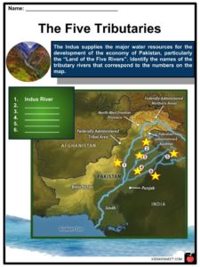
- The five main tributaries are Beas, Chenab, Jhelum, Ravi, and Sutlej (longest among the five) rivers.
- The other smaller tributaries include Astor, Ghizar, Gar, Gilgit, Kabul, etc.
Delta
- The delta is where the river empties into the Arabian Sea.
- It has a total area of 41,440 square kilometers.
- Unlike many other deltas, it is made up of clay and other infertile soil, making it very swampy.
- There are towns throughout the delta, including Karachi, Pakistan’s largest city, which lies west of the delta along the Arabian Sea coast.
- In July, the average temperature in the region ranges from 21°C to 29°C, while in January, it ranges from 10°C to 21°C.
- It is an important migration route for water birds, with diverse freshwater fauna, including Hilsa, Indus Baril, Indus garua, and the giant snakehead.
Other Information
Climate
- The delta is one of the driest on the Indian subcontinent, being located west of Rajasthan’s the Thar Desert, with irregular rainfall.
- Due to the northwestern winds, its upper basin receives 10 to 20 centimeters of rainfall during the winter months.
- Snow falls in greater amounts in Kashmir and the northern areas with higher elevations, while the lower valleys are extremely dry in the summer.
Wildlife
- According to accounts of Alexander the Great‘s campaign, the valley once had a healthy forest covering it, but it has since receded significantly.
- Mughal Emperor Babur also mentioned seeing rhinoceroses along its banks.
- However, the vegetation has deteriorated due to extensive deforestation and human interference in its ecology.
- The region currently has poor vegetation, which has an impact on agriculture, which is primarily supported by irrigation works.
- The Blind Indus River Dolphin is only found in the Indus River, though it was previously found in its tributaries.
- Palla fish is a popular delicacy among those who live along the river.
- Other fish species in the river include Sukkur, Thatta, and Kotri.
- After dams and irrigation systems were built, fish farming became very important to the economy.
- Conservationists have identified the large delta southeast of Karachi as one of the world’s most important ecological regions.
Economy
- It provides most of the water in the Punjab and Sindh plains, which are the foundation of Pakistan’s agriculture and food production.
- The IVC was the first to construct irrigation canals, which were designed by engineers from the Kushan and Mughal empires.
- The British East India Company introduced modern irrigation in 1850, with new canals being built while old canals were restored. The construction was overseen by a British company, making it one of the most complex irrigation networks.
- The Guddu Barrage is a 1,360-meter-long irrigation system that supplies water to Sukkur, Jacobabad, Larkana, and Kalat.
- The Pakistan Water and Development Authority oversaw the construction of the Chashma-Jhelum link canal, which connects the Chashma and Jhelum rivers and extends water supplies to Bahawalpur and Multan.
- The tributaries were extensively linked with the river to spread water resources to the Peshawar valley.
- Irrigation projects help to increase the production of Pakistani crops such as cotton, sugarcane, and wheat, while dams generate electricity for heavy industries and urban areas.
People
- The inhabitants along the river have different ethnicities, religions, and linguistic backgrounds.
- The northern course, in Kashmir, is inhabited by the Buddhist people of Ladakh and Tibetan people.
- It divides people inhabiting the Northern Areas with different ethnicity and cultures. The western banks contained Pashtun, Balochi, and other Afghan people with practices closely related to Iran and Afghanistan, while the eastern banks were populated by Punjabi people with few Sindhis and modern Indigenous people.
Modern Issues
- Extensive deforestation and industrial pollution have severely harmed the vegetation and wildlife in its delta.
- Another source of concern is the gradual shift of the river’s course westward.
- Poor canal maintenance has also had an impact on agricultural production and vegetation, while extreme heat from global warming causes water to evaporate and salt deposits to remain, rendering lands unfit for cultivation.
- Its location made it a vital resource for the country’s economy and society. Native Americans and Pakistani Hindus regard the river as sacred, but a dispute over resource allocation arose when India took control of Kashmir.
Treaty
- The river and five of its tributaries were used during India’s partition in 1947. This caused a major conflict between India and Pakistan.
- The irrigation canals in the Sutlej valley and the Bari Doab were divided between the two countries, causing supply disruptions in some parts of Pakistan.
- India constructed large dams across various rivers in Punjab, reducing the amount of water flowing to Pakistan.
- After holding diplomatic talks with the World Bank in the interim, the two countries signed the Indus Waters Treaty in 1960.
- It granted India control over the three easternmost rivers of Punjab, the Sutlej, Beas, and Ravi.
- Pakistan had control of the three western rivers, namely the Jhelum, Chenab, and the Indus, but these rivers can still be used by India but not for irrigation projects.
Pilgrimage
- Another conflict between Pakistan and India arose as a result of Hindu pilgrimages along the river.
- Usually, Pakistan does not allow Indigenous citizens to use the area for religious purposes, but due to their bilateral relations, most pilgrimages and religious ceremonies can take place in Kashmir.
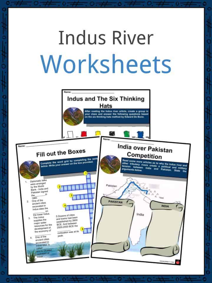
Indus River Worksheets
This is a fantastic bundle that includes everything you need to know about Indus River across 23 in-depth pages. These are ready-to-use Indus River worksheets that are perfect for teaching students about the Indus River, also known as Sindhū by ancient Indians, which is one of the longest rivers in Asia.

Complete List of Included Worksheets
- Indus River Facts
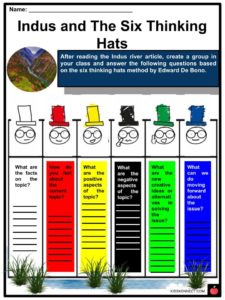
- Indus and the Sic Thinking Hats
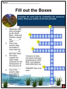
- Fill out the Boxes
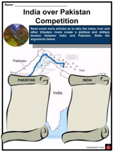
- India over Pakistan Competition
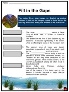
- Fill in the Gaps
- The Five Tributaries
- Find It
- Other Tributary Rivers
- How can you save?
- The weather forecast!
- Indus Poster
Frequently Asked Questions
What is Indus River called in India?
Pakistani people also referred to it as the Sindhu River, just like how the ancient Native Americans called it, while the Persians called it Hindu; both names mean “the border river.”
Where is Indus River?
The Indus is Pakistan’s longest and most important river, running from Tibet, the country’s length in a southerly direction and finally merging with the Arabian Sea.
Why is the Indus River important?
It provides most of the water in the Punjab and Sindh plains, which are the foundation of Pakistan’s agriculture and food production.
What is Indus River called in Pakistan?
Pakistani people also referred to it as the Sindhu River, just like how the ancient Native Americans called it, while the Persians called it Hindu; both names mean “the border river.”
What are five facts about the Indus River Valley?
It is approximately 3200 kilometers long and has a total drainage area of more than 1,165,500 square kilometers. Pakistani people also referred to it as the Sindhu River, just like how the ancient Native Americans called it, while the Persians called it Hindu; both names mean “the border river.” It is one of the Sapta Sindhu, the seven holy rivers mentioned in the Rig Vedic hymns. The other six rivers are the Chenab, Ravi, Sutlej, Jhelum, Beas, and Sarasvati. It is the world’s largest river that primarily flows through a country without receiving water from it and is regarded as an exotic river. Its flow is greatly influenced by the seasons, with the reduced flow during the winter and flooding of its banks during the monsoon season.
Link/cite this page
If you reference any of the content on this page on your own website, please use the code below to cite this page as the original source.
Link will appear as Indus River Facts & Worksheets: https://kidskonnect.com - KidsKonnect, November 7, 2018
Use With Any Curriculum
These worksheets have been specifically designed for use with any international curriculum. You can use these worksheets as-is, or edit them using Google Slides to make them more specific to your own student ability levels and curriculum standards.