Premium
 Download
Edit
Download
Edit
Download the Lord Howe Island Facts & Worksheets
Click the button below to get instant access to these worksheets for use in the classroom or at a home.
Download This Worksheet
This download is exclusively for KidsKonnect Premium members!
To download this worksheet, click the button below to signup (it only takes a minute) and you'll be brought right back to this page to start the download!
Sign Me Up
Edit This Worksheet
Editing resources is available exclusively for KidsKonnect Premium members.
To edit this worksheet, click the button below to signup (it only takes a minute) and you'll be brought right back to this page to start editing!
Sign Up
Not ready to purchase a subscription? Click to download the free sample version Download sample
Download This Sample
This sample is exclusively for KidsKonnect members!
To download this worksheet, click the button below to signup for free (it only takes a minute) and you'll be brought right back to this page to start the download!
Sign Me Up
Table of Contents
Lord Howe Island is a volcanic island located in the Tasmanian Sea between Australia and New Zealand. It is covered in lush, untouched forests in the south and is a natural global gem. It became a UNESCO World Heritage Site in 1982.
See the fact file below for more information on the Lord Howe Island or alternatively, you can download our 20-page World Heritage Sites: Lord Howe Island worksheet pack to utilise within the classroom or home environment.
Key Facts & Information
History of Lord Howe Island:
- Prior to any European settlements, Lord Howe Island was uninhabited and virtually unknown to the Polynesian peoples living in the South Pacific.
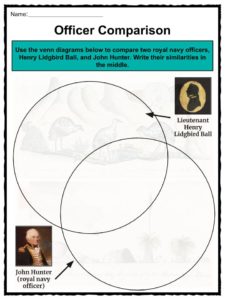
- The first time Lord Howe island was sighted by Europeans was on February 17, 1788 by Lieutenant Henry Lidgbird Ball on his way to Norfolk Island with prisoners to find them a location they could stay at in exile.
- A follow-up visit occurred on March 13, 1788 and it was during this visit that Ball’s Pyramid was discovered, which prompted a small party onshore to look around and claim it for Great Britain.
- The island was permanently settled in June of 1834, and Ball (whose silhouette is pictured above) decided to name Mount Lidgbird and Ball’s Pyramid after himself.
- Settlement was established by three men who were tasked to find a supply station for their whaling firm.
- Huts, gardens, and living arrangements were built and established, and soon the settlers began bartering the water, wood, meat, bird feathers, and other natural goods the island produced for things like tea, sugar, tools, and tobacco (things that were not available on the island).
- In 1849 there were only 11 people living on the island permanently; by the 1850s gold was discovered in Australia, which boosted trade.
- Between 1839 and 1859, more than 60 ships landed at Lord Howe Island, and in 1842 the first child was born.
- Over the next 30 years or so, more vegetable crops began to grow, including pumpkin, corn, carrots, potatoes, and tropical fruits.
- The island’s first hydrographic survey (a survey that measures shorelines, tides, currents, and things that affect navigation of the waters) was conducted by Henry Denham between 1851 and 1854 (his ship is pictured to the right).
- The majority of the late 1800s were littered with scientific expeditions.
- It was during one of these expeditions, in 1876, when the prospect of establishing a forest reserve and palm trade was first introduced, as surveyors had noticed the island’s potential for growing coffee and harvesting the kentia palm tree, pictured below.
- In 1878, Lord Howe Island was declared a “Forest Reserve”, administered by Captain Richard Armstrong, who encouraged tree planting and palm trade, and who built roads and even a north passage to the lagoon area of the island.
- By 1932, palm sales to Europe was the largest source of the island’s income, shortly followed by tourism.
- It was really only after World War II, in 1947, that tourists began taking more of an interest in the island, as the Lord Howe Island Airport was completed in the same year.
- Although tourism has increased recently, a conservation issue has also been raised.
Geography of Lord Howe Island:
- Lord Howe Island is crescent shaped, and is 11km long and 2.8km wide (about 7 x 2 miles), encompassing about 4.62 square miles.
- The island itself is the remains of an eroded 7-million-year-old shield volcano and its eruptions for 500,000 years.
- A coral reef runs down the western side of the island and encloses a beautiful lagoon.
- In the south, two volcanic mountains sit (Mount Lidgbird and Mount Gower); the latter of which is the highest part of the island.
- In the north there are some mountains, but also cleared lowland used for farming, housing, and for an airstrip.
- Ball’s Pyramid, a pointed rocky inlet, is located in the south-east, and is inhabited by colonies of birds, and contains the only known wild population of the Lord Howe Island stick insect, which was thought to be extinct!
- Lord Howe Island has a subtropical climate with plenty of rain and the occasional storm and cyclone, dropping record amounts of rain.
- The island boasts a huge and diverse range of flora and fauna; almost half of the island’s plants are endemic (meaning they are only found there) and have created a cloud forest within the summits of the mountains.
- Palm trees are the signature plants of the island.
- There are no vicious animals that live on Lord Howe Island; this includes highly venomous snakes, stinging insects, or dangerous daytime sharks.
- 202 different birds have been recorded on the island, as well as an abundance of fish species and feral animals.
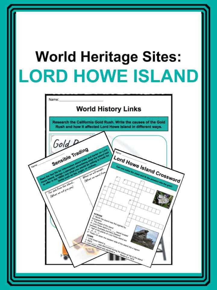
World Heritage Sites: Lord Howe Island Worksheets
This is a fantastic bundle which includes everything you need to know about Lord Howe Island across 20 in-depth pages. These are ready-to-use World Heritage Sites: Lord Howe Island worksheets that are perfect for teaching students about the Lord Howe Island which is a volcanic island located in the Tasmanian Sea between Australia and New Zealand. It is covered in lush, untouched forests in the south and is a natural global gem. It became a UNESCO World Heritage Site in 1982.
Complete List Of Included Worksheets
- Lord Howe Island Facts.
- Letter from the High Seas.
- Sensible Trading.
- World History Links.
- Animal Profile.
- Officer Comparison.
- Lord Howe Island Wordsearch.
- Lagoon Poem.
- Our Five Senses.
- Opinion Paragraph.
- Lord Howe Island Crossword.
Link/cite this page
If you reference any of the content on this page on your own website, please use the code below to cite this page as the original source.
Link will appear as Lord Howe Island Facts & Worksheets: https://kidskonnect.com - KidsKonnect, September 6, 2018
Use With Any Curriculum
These worksheets have been specifically designed for use with any international curriculum. You can use these worksheets as-is, or edit them using Google Slides to make them more specific to your own student ability levels and curriculum standards.