Premium
 Download
Edit
Download
Edit
Download the Northern Ireland Facts & Worksheets
Click the button below to get instant access to these worksheets for use in the classroom or at a home.
Download This Worksheet
This download is exclusively for KidsKonnect Premium members!
To download this worksheet, click the button below to signup (it only takes a minute) and you'll be brought right back to this page to start the download!
Sign Me Up
Edit This Worksheet
Editing resources is available exclusively for KidsKonnect Premium members.
To edit this worksheet, click the button below to signup (it only takes a minute) and you'll be brought right back to this page to start editing!
Sign Up
Not ready to purchase a subscription? Click to download the free sample version Download sample
Download This Sample
This sample is exclusively for KidsKonnect members!
To download this worksheet, click the button below to signup for free (it only takes a minute) and you'll be brought right back to this page to start the download!
Sign Me Up
Table of Contents
Northern Ireland is described as a province, country, or region of the United Kingdom and is located in the northeast of the island of Ireland. Northern Ireland is bordered by the Republic of Ireland to the south and west.
See the fact file below for more information on Northern Ireland, or you can download our 30-page Northern Ireland worksheet pack to utilize within the classroom or home environment.
Key Facts & Information
HISTORICAL BACKGROUND
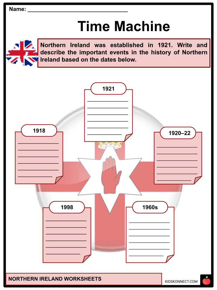
- In the 1918 General Election, the new autonomous Northern Ireland was formed from six of Ulster’s nine counties: four counties with unionist majorities – Antrim, Armagh, Down, and Londonderry; and two counties with slight Irish nationalist majorities – Fermanagh and Tyrone.
- Northern Ireland was established in 1921, following the partitioning of Ireland by the Government of Ireland Act 1920, which established a devolved government for the six northeastern counties.
- Northern Ireland had a unionist majority who wanted to remain in the United Kingdom. They were mostly Protestant descendants of British colonists.
- The majority of Irish nationalists and Catholics in Southern Ireland (which became the Irish Free State in 1922) and a significant minority in Northern Ireland desired a united independent Ireland.
- Today, the former see themselves as British, while the latter see themselves as Irish, with a significant minority from all backgrounds claiming Northern Irish or Ulster identity. Ulster is one of the four traditional Irish provinces. It consists of nine counties: six of which are in Northern Ireland (part of the United Kingdom), and the remaining three are in the Republic of Ireland.
- Northern Ireland’s creation was accompanied by violence, both in defense of and in opposition to partition. During the 1920–22 conflict, the capital Belfast experienced widespread communal violence, primarily between Protestant unionists and Catholic nationalist civilians. Over 500 people were killed, and more than 10,000 became refugees, mostly Catholics.
- Northern Ireland had a continuous series of Unionist Party governments for the next fifty years. Both communities maintained informal mutual segregation, and Unionist governments were accused of discriminating against the Irish nationalist and Catholic minority.
- In the late 1960s, loyalists opposed a campaign to end discrimination against Catholics and nationalists. This triggered The Troubles, a thirty-year conflict in Northern Ireland involving republican and loyalist paramilitaries and state forces that killed over 3,500 people and injured 50,000 more.
- The 1998 Good Friday Agreement was a significant step towards the peace process, including paramilitary disarmament and security normalization, but sectarianism and segregation remain major social problems, and sporadic violence has continued.
- “Peace walls” were created between Catholic and Protestant neighborhoods during the Troubles. These walls still exist in various areas today and were built to aid in maintaining peace.
GEOGRAPHY
- Northern Ireland encompasses 5,459 square miles (14,139 square kilometers), accounting for approximately one-sixth of the island’s total area.
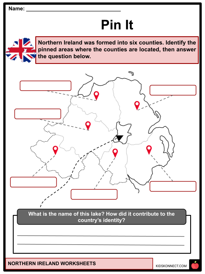
- It is divided into six counties: Antrim, Armagh, Down, Londonderry, Fermanagh, and Tyrone, and is crisscrossed by uplands and lowlands.
- Belfast is Northern Ireland’s capital and largest city. It is also the second most populous city on the island of Ireland (after Dublin).
- Rathlin, located off the coast of Antrim, is Northern Ireland’s largest island. Strangford Lough, which covers 150 square kilometers, is the largest inlet in the British Isles.
- Ice coverage for most of the last Ice age resulted in extensive drumlins in counties Fermanagh, Armagh, Antrim, and particularly Down. The Antrim Plateau was formed by volcanic activity, which also formed the eerily geometric pillars of the Giant’s Causeway on the north Antrim coast.
- Lough Neagh is the focal point of Northern Ireland’s geography, measuring 151 square miles (392 square kilometers) and being the largest freshwater lake both on the island of Ireland and in the British Isles. In Fermanagh, a second large lake system is centered on Lower and Upper Lough Erne.
CLIMATE
- Northern Ireland has a temperate maritime climate, with the west being wetter than the east, but cloud cover is persistent throughout the region.
- The weather is unpredictable at all times of the year, and while the seasons are distinct, they are much less pronounced than in interior Europe or along North America‘s eastern seaboard.
- In January, the average daytime maximum temperature in Belfast is 43.7°F (6.5°C), while in July, it is 63.5°F (17.5°C). The damp climate and extensive deforestation in the sixteenth and seventeenth centuries resulted in a rich green grassland covering much of the region.
FLORA AND FAUNA
- The absence of trees is notable. For centuries, the majority of the land has been plowed, drained, and cultivated. In 2007, about 5% of the land was forested, the majority of which was planted by the state. This is economically insignificant, but it does help to diversify the landscape.
- Northern Ireland’s fauna is similar to that of Great Britain, but with fewer species. Only the Irish stoat, Irish hare, and three bird species are indigenous to Ireland, despite the region’s abundance of fish, particularly pike, perch, trout, and salmon. There are approximately 40 nature reserves and bird sanctuaries.
DEMOGRAPHY
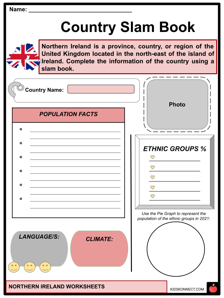
- Northern Ireland has a population of 1,903,175, an increase of 92,312 (5.1%) in the ten years since the last census.
- According to 2022 census data, 45.7% of Northern Ireland’s population is, or was, raised Catholic, while 43.5% is Protestant or raised in another Christian religion; 42.8% identified as British, 33.3% as Irish, and 1.5% as Northern Irish, either alone or in combination with other national identities.
- In 2021 data, 96.77% of the population of Northern Ireland is white, and over 88% of the people were born in Northern Ireland; 1.61% were Asian, 0.58% were Black, 0.76% were Mixed, and the other ethnicity were 0.29%
LANGUAGE
- Almost everyone in Northern Ireland speaks English as their first language. It is the de facto official language. The Administration of Justice (Language) Act (Ireland) 1737 prohibits the use of languages other than English in legal proceedings.
- Northern Ireland also has two recognized regional languages: Irish and Ulster Scots, a regional variation of Scots.
- Since March 29, 2004, Northern Ireland Sign Language and Irish Sign Language have been recognized.
TOURIST SPOTS
- Carrick-a-Rede Rope Bridge in County Antrim, Northern Ireland, is near the city of Ballintoy. This bridge connects the mainland to the island of Carrick. It is 20 meters or 66 ft wide and has a height of 30 meters or 98 ft above the rocks and the ocean below. It was used by salmon fishermen who have built bridges to the island for over 350 years.
- Another attraction is the Giant’s Causeway located in Northern Ireland at the base of the basalt sea cliffs along the Antrim plateau. It is an area of about 40,000 enormous black basalt columns created over 60 million years ago by a volcanic eruption. The incredible arrangement of rocks led to myths that giants strode over the sea to Scotland, which has been the inspiration for its name.
- In the causeway coast of County Antrim in Northern Ireland, lies a beautiful ruined castle called Dunluce Castle. This castle was built during the 16th and 17th centuries and sits at the top of steep rocks with a view of the sea below.
- In County Antrim, Northern Ireland, between Armoy and Stranocum, there is a beech tree avenue known as The Dark Hedges. The trees create an eerie but fairytale-like tunnel that serves as a backdrop. It was seen on the HBO television series “Game of Thrones,” making the avenue a popular tourist destination.
- Titanic Belfast is the most popular tourist spot in Northern Ireland. Located in Belfast’s Titanic Quarter, the museum offers a visitor experience of the famous RMS (Royal Mail Ship)Titanic, a British passenger ship, which sank in the North Atlantic Ocean on 15 April 1912 after striking an iceberg.
- Built on the site of the former Harland & Wolff shipyard, the attraction also covers tales of sister ships RMS Olympic and HMHS (His Majesty’s Hospital Ship) Britannic.
- More than 12,000 square meters (130,000 square feet) of the building’s floor space is taken up by several galleries, private function spaces, and community facilities.
- Furthermore, if you want to experience an exhibition trip and see one of Belfast’s iconic buildings, you should visit the Belfast City Hall. It shows the stunning architecture of the country’s capital city hall and explains the interesting history of the grounds and buildings in the city.
- Besides the said tourist attractions, there are various beaches, forests, lakes, and other striking views that are very popular with tourists in Northern Ireland. These include the Mourne Mountains in County Down, Tollymore Forest Park in Bryansford, Torr Head in County Antrim, Flagstaff Viewpoint in County Armagh, and many more.
GOVERNMENT
- The 2022 Northern Ireland Assembly election was held on May 5, 2022. It was the assembly’s seventh election since its founding in 1998. The election was held three months after the Northern Ireland Executive collapsed due to the resignation of the First Minister, Paul Givan (DUP), in protest of the Northern Ireland Protocol.
- Jeffrey Donaldson, leader of the Democratic Unionist Party (DUP), was among the political leaders who met with Britain’s Northern Ireland Secretary Brandon Lewis, who urged them to work together to resurrect a paralyzed Northern Irish government.
- The nationalist Sinn Fein party surpassed the opposing DUP to become the first Irish nationalist party to win the most votes in Northern Ireland’s history.
- While Sinn Fein now has the right to appoint Northern Ireland’s first minister, a functioning Executive cannot be formed unless the DUP, the region’s largest unionist party, agrees to serve as deputy minister under the region’s mandatory power-sharing rules.
- Donaldson told Lewis that the DUP will not nominate ministers to the Executive unless the UK government takes “decisive action” on new Brexit customs rules known as the Northern Ireland Protocol.
FLAGS
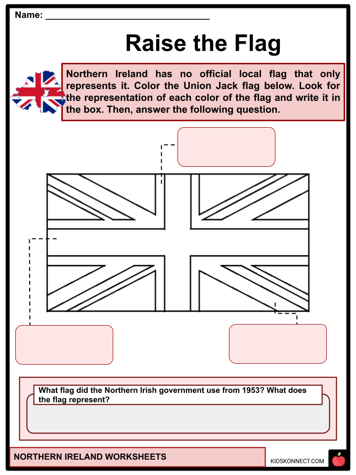
- Northern Ireland’s only official flag is the Union Jack, the flag of the United Kingdom; there is no official local flag that only represents Northern Ireland.
- The Northern Irish government used the Ulster Banner from 1953 until the government and parliament were abolished in 1973. Both loyalists and unionists use it as the flag of Northern Ireland and to represent Northern Ireland internationally in sporting competitions such as the Commonwealth Games.
- Saint Patrick’s Saltire indirectly represents Northern Ireland as Ireland in the Union Flag. It is sometimes flown in Northern Ireland during Saint Patrick’s Day parades and is used to represent Northern Ireland at some royal events.
TRANSPORTATION
- Northern Ireland’s public transportation provider is Translink. Belfast has Metro and Glider services, with Ulsterbus and Goldline bus services connecting the rest of Northern Ireland.
- Northern Ireland Railways, which connects Belfast to various cities and towns in Northern Ireland, is operated by Translink.
- Value Cabs is one of Belfast’s largest taxi companies, offering professional taxi services as well as sightseeing tours.
- Bike rentals are available, with over 30 docking stations located throughout Belfast City Centre.
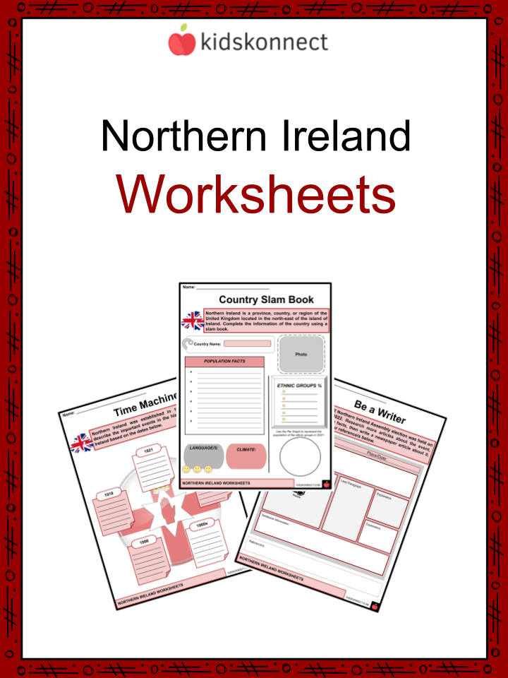
Northern Ireland Worksheets
This fantastic bundle includes everything you need to know about Northern Ireland across 30 in-depth pages. These ready-to-use worksheets are perfect for teaching kids about Northern Ireland, which is described as a province, country, or region of the United Kingdom and is located in the northeast of the island of Ireland.
Complete List of Included Worksheets
- Northern Ireland Facts
- Country Slambook
- Word Hunt
- Time Machine
- Pin It
- Put in Place
- Raise the Flag
- Tourist Time
- Be a Writer
- Inner Creativity
- Topic Recall
Frequently Asked Questions
What is the culture of Northern Ireland?
Northern Ireland’s way of life is strongly connected to religious history. This means that customs related to holidays and daily life are different based on whether a person is Roman Catholic or Protestant. These traditional values are passed down from parents to children within families. Northern Ireland’s economy is mostly agricultural and manufacturing. This shapes what kinds of jobs are available to people who live there.
What is the lifestyle of Northern Ireland?
Northern Ireland is a very traditional society, where people are strongly connected to their community. This is evident in things like regularly attending church and spending time with family. Most people usually only interact with the same small group of people they grew up around – whether it’s in a busy city or a small village.
Does it snow in North Ireland?
Despite being situated at a similar latitude with other countries that experience plenty of snowfall, Ireland’s temperate oceanic climate and the moderating influence of the North Atlantic Ocean make it receive less snow than expected.
Link/cite this page
If you reference any of the content on this page on your own website, please use the code below to cite this page as the original source.
Link will appear as Northern Ireland Facts & Worksheets: https://kidskonnect.com - KidsKonnect, January 30, 2023
Use With Any Curriculum
These worksheets have been specifically designed for use with any international curriculum. You can use these worksheets as-is, or edit them using Google Slides to make them more specific to your own student ability levels and curriculum standards.