Premium
 Download
Edit
Download
Edit
Download the Northwest Territories Facts & Worksheets
Click the button below to get instant access to these worksheets for use in the classroom or at a home.
Download This Worksheet
This download is exclusively for KidsKonnect Premium members!
To download this worksheet, click the button below to signup (it only takes a minute) and you'll be brought right back to this page to start the download!
Sign Me Up
Edit This Worksheet
Editing resources is available exclusively for KidsKonnect Premium members.
To edit this worksheet, click the button below to signup (it only takes a minute) and you'll be brought right back to this page to start editing!
Sign Up
Not ready to purchase a subscription? Click to download the free sample version Download sample
Download This Sample
This sample is exclusively for KidsKonnect members!
To download this worksheet, click the button below to signup for free (it only takes a minute) and you'll be brought right back to this page to start the download!
Sign Me Up
Table of Contents
The Northwest Territories of Canada include the regions of Dehcho, North Slave, Sahtu, South Slave and Inuvik. Their remote landscape encompasses forest, mountains, Arctic tundra and islands in the Canadian Arctic Archipelago. Dehcho’s Nahanni National Park Reserve centers around the canyons of the South Nahanni River and 90m-high Virginia Falls. The regional capital, Yellowknife, is on the north shore of Great Slave Lake.
See the fact file below for more information on the Northwest Territories or alternatively, you can download our 20-page Northwest Territories worksheet pack to utilise within the classroom or home environment.
Key Facts & Information
HISTORY AND SETTLEMENT
- The area that is now the Northwest Territories was once populated by small groups of Inuit and Dene Aboriginal peoples who were traditional and nomadic, and had lived in the harsh climates for a very long time.
- Prior to this, the first-known Europeans to have inhabited the area were the Vikings who sailed over from Greenland around 1000 CE.
- The expeditions of Martin Frobisher in the 1570s were among the first recorded visits to the area by Europeans; this was soon followed by Henry Hudson while in search of the Northwest Passage.
- The expansion of the fur trade in the late 18th and early 19th centuries led to more Europeans inhabiting the area.
- The Coppermine Expedition of 1819-1822 saw the surveying and charting of the area from Hudson Bay to the northernmost coasts of Canada, and was organized by the British Royal Navy. There were subsequent expeditions, but did not turn out very well for the explorers, as they were not at all prepared for the weather.
- Canada became a country in 1867, but the Northwest Territories delayed entering confederation due to the Red River Rebellion. By July 15, 1870, the Northwest Territories were ceded to Canada.
- In 1873, the North West Mounted Police was founded to combat the “lawlessness” of the region.
- In 1880, the Arctic Archipelago (the cluster of islands north of the Canadian mainland) was transferred from Britain to Canada, at which time the Northwest Territories hit its peak size.
- Following the Klondike Gold Rush in 1898, the Yukon Territory stopped being part of the Northwest Territories and became its own territory.
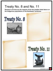
- For the next several decades, the boundaries within Canada and its provinces and territories shifted in relation to the groups of displaced First Nations peoples, beginning with “Treaty No. 8”.
- During the interwar years, diseases and the decline in traditional ways of life for First Nations communities rose. Federal funding was slashed and more permanent settlements led to economic deterioration. It wasn’t until 1953 that the federal government took a small step forward in managing these problems with the creation of the Ministry of Aboriginal Affairs and Northern Development.
RECENT HISTORY OF THE NORTHWEST TERRITORIES
- Government services in the Northwest Territories and other northern regions in Canada have been steadily improving, and currently provide sources of local employment.
- In April of 1982, many residents living in the Northwest Territories voted to divide the area up. After many years of negotiations, the new territory of Nunavut was created on April 1, 1999, which encompassed the eastern region of the Northwest Territories, as seen in the map to the right.
- The creation of Nunavut was important, as it was formed in order to represent the Inuit people living in Northern Canada.
ECONOMY AND DEMOGRAPHICS
- The economy of the Northwest Territories is largely made up of geological resources – gold, diamonds, petroleum, and natural gas.
- The Northwest Territories has the highest per capita GDP in all of Canada – there are approximately 25 mines operating in the territory.
- Unfortunately, the Northwest Territories have fewer rights than the provinces, and only one public transportation system.
- Aside from visitors watching the aurora borealis in Yellowknife, tourism is not a major contributor to the territory’s economy.
- Almost 40% of people living in the Northwest Territories are First Nations, many of whom are Roman Catholic.
- The Northwest Territories’ Official Languages Act recognizes eleven (11) official languages, many of which are Indigenous.
- As of 2014, there are 33 official communities in the Northwest Territories, with many of them residing in Yellowknife, which has the largest municipality by population.
GEOGRAPHY, GEOLOGY, AND CLIMATE
- Due to its northern location, the Northwest Territories experience a Koppen climate, with the northern coast experiencing a polar climate and the southern part of the territory (which is most of the mainland) experiencing a subarctic climate. Both are characterized as having cold, intense winters with temperatures as low as -40°F. In more northern parts, those temperatures can dip to as low as -58°F.
- Trees and plants that grow in the Northwest Territories have been able to adapt to the harsh climate and thin layer of soil (usually the tundra type) – some popular types of flora include Paper Birch, Jack Pine, and Balsam Poplar trees.
- Lichens, mosses, and plants such as cranberries and blueberries are useful for the animals that live there, which include caribou, brown and black bears, moose, the arctic wolf, lynx, wolverines, arctic hare, and many birds of prey such as osprey, gyrfalcons, and bald eagles.
- Permafrost is evident in many parts of the Northwest Territories, as many large portions of land and water have been frozen for years.
- The geology of the northern parts of the Northwest Territories contains some of the oldest rock known to man, and is full of cliffs and mountains with rocky and unusual patterns of rock.
- The Canadian Shield (the large area of ancient, exposed rock that forms the geological core of North America) covers a large portion of the Northwest Territories, and has been the site of major diamond discoveries in recent years.
- Wood Buffalo National Park (which straddles the Northwest Territories and Alberta border) is Canada’s largest national park and was established to protect bison and whooping crane populations.
- The most populous urban centres of the Northwest Territories are located in the Mackenzie Valley area, where most of the animals and vibrant flora can be found in the territory.
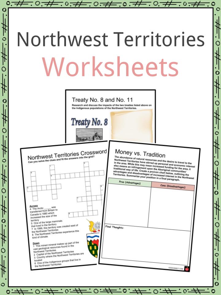
Northwest Territories Worksheets
This is a fantastic bundle which includes everything you need to know about Northwest Territories across 20 in-depth pages. These are ready-to-use Northwest Territories worksheets that are perfect for teaching students about the Northwest Territories of Canada which include the regions of Dehcho, North Slave, Sahtu, South Slave and Inuvik. Their remote landscape encompasses forest, mountains, Arctic tundra and islands in the Canadian Arctic Archipelago. Dehcho’s Nahanni National Park Reserve centers around the canyons of the South Nahanni River and 90m-high Virginia Falls. The regional capital, Yellowknife, is on the north shore of Great Slave Lake.
Complete List Of Included Worksheets
- Treaty No. 8 and No. 11
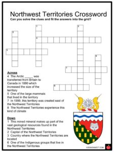
- Northwest Territories Crossword
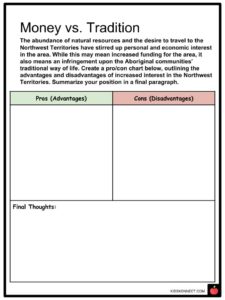
- Money vs. Tradition
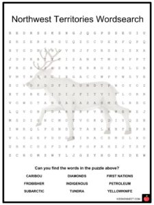
- Northwest Territories Wordsearch
- Climate Change
- Frobisher and Hudson
- Fill in the Blanks
- Polar Animals
- Postcard from NWT
- The Inuit of Canada
Link/cite this page
If you reference any of the content on this page on your own website, please use the code below to cite this page as the original source.
Link will appear as Northwest Territories Facts & Worksheets: https://kidskonnect.com - KidsKonnect, February 20, 2019
Use With Any Curriculum
These worksheets have been specifically designed for use with any international curriculum. You can use these worksheets as-is, or edit them using Google Slides to make them more specific to your own student ability levels and curriculum standards.