Premium
 Download
Edit
Download
Edit
Download the Pilcomayo Facts & Worksheets
Click the button below to get instant access to these worksheets for use in the classroom or at a home.
Download This Worksheet
This download is exclusively for KidsKonnect Premium members!
To download this worksheet, click the button below to signup (it only takes a minute) and you'll be brought right back to this page to start the download!
Sign Me Up
Edit This Worksheet
Editing resources is available exclusively for KidsKonnect Premium members.
To edit this worksheet, click the button below to signup (it only takes a minute) and you'll be brought right back to this page to start editing!
Sign Up
Not ready to purchase a subscription? Click to download the free sample version Download sample
Download This Sample
This sample is exclusively for KidsKonnect members!
To download this worksheet, click the button below to signup for free (it only takes a minute) and you'll be brought right back to this page to start the download!
Sign Me Up
Table of Contents
The river Pilcomayo is the longest western tributary of the Paraguay River. It has its source in the Andes Mountains in Bolivia and traverses the virgin forests of the Gran Chaco plains in a south-easterly direction. Pilcomayo flows through the Chuquisaca and Tarija departments, passes through the Argentine province of Formosa and the Gran Chaco plains of Paraguay, forming the border between these two countries before it joins the Paraguay River near Asunción.
See the fact file below for more information on the Pilcomayo or alternatively, you can download our 22-page Pilcomayo worksheet pack to utilise within the classroom or home environment.
Key Facts & Information
ETYMOLOGY
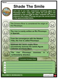
- The Jach’a Juqhu River is considered the origin of the Pilcomayo.
- Upstream the Jach’a Juqhu River successively receives the names Aguas Calientes and Kachi Mayu.
- From the convergence with the Chillawa (Chillahua), the river is called Pilcomayo.
- The river is mainly written as Río Pilcomayo in Spanish.
PHYSICAL FEATURES
- It is considered as the longest western tributary of the Paraguay River as it is 1,100 kilometres (680 mi) long.
- The drainage basin is 270,000 square kilometres (100,000 sq mi) in area and its mean discharge is 200 cubic metres per second (7,100 cu ft/s).
- Along its course, the Pilcomayo silts up and splits into two main branches, North and South. After some distance, these branches rejoin to form the Lower Pilcomayo.
- The river’s lower course is about 410 miles, is used for navigation by small craft, flows through a number of small channels separated by bars, and shifts direction with each flood season.
RIO PILCOMAYO NATIONAL PARK
- In Spanish “Parque Nacional Río Pilcomayo” is one of the top attractions of the Province of Formosa. It is one hour away from the city of Clorinda and a symbol of the Litoral nature.
- The Río Pilcomayo National Park is a national park located in the northeastern part of the Argentine province of Formosa, on the border with Paraguay.
- It forms a short part of the boundary between Argentina and Bolivia, just prior to the Argentina–Bolivia–Paraguay tripoint.
- Established on September 29, 1951 to protect the natural features such as the grasslands, marshes, creeks, lakes and forests, typical of the Humid Chaco ecoregion, the park is included in the Ramsar Convention’s list of wetlands of international importance.
- This park has an ecosystem of quebracho trees and jungle.
- Among the additional attractions, there is the possibility of watching monkeys and, at night, southern tamandua, nasuas, yacare caimans, and boas.
- The first thing you should do when you get to the lookout in front of Pilcomayo River is to stop and gaze at the beauty of the place.
- The smooth water, the sun hiding little by little, and having tereré, renews your energy entirely, which you cannot miss with a biscuit.
- The outer peace reaches the inner part of each visitor.
- The climate is subtropical temperate, with an average of 1,200 mm per year of rainfall that floods the vast grasslands, with the exception of the highlands.
- The average temperature is 23º C. In summer it exceeds 40º C and in winter with several days of frost, temperatures drop below zero.
- The fauna is adapted to this climate and stands out for its great diversity: about 322 species of birds, 80 species of fish, 32 species of amphibians, 50 species of reptiles, and 90 species of mammals.
- The National Park has two areas for public use for visitors, Estero Poí and Laguna Blanca. Both have ideal conditions for recreation throughout the year.
- March to October is recommended as the best time of the year to visit.
HUMAN SETTLEMENT
- There are approximately 1.5 million people in the river basin: one million in Bolivia, 300,000 in Argentina, and 200,000 in Paraguay.
- The Natokoi Indian Tribe occupies the southern region of the Pilcomayo, a region located along the river in central Paraguay.
- The aborigines of this tribe are descendants of the highly renowned Redskin Tribe.
- The Natokoi treated all neighbors as enemies, but none more so than the Tobas Tribe and the Nimká Tribe, their respective neighbors to the southwest and northeast. Guerrilla warfare has long existed between the tribes, isolating the tribes from direct intercourse with the European settlers in the late 19th century. Men of this tribe are generally tall and skinny, built like hunters or warriors, whereas women are short in size. The Natokoi dress in a rug, fastened around the waist-line.
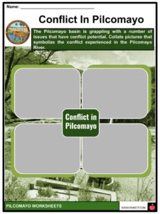
POLLUTION IN THE PILCOMAYO
- The Pilcomayo basin is grappling with a number of issues that have conflict potential.
- First where the mining operations in Bolivia pollute the Pilcomayo river, which affects the environment and humans downstream (Stassen et al. 2012).
- Second is that the high sediment load causes the river to frequently change course while flowing through the Chaco Plain.
- As a result, it is unpredictable how much water Paraguay and Argentina will receive every year (Martín-Vide et al. 2014).
- Third is that there is a severe ecological crisis in the lower Pilcomayo (Sidder 2016), the causes of which are unclear and give rise to controversies.
- And fourth, the region is said to have weak institutions who do not reliably fulfill their responsibilities in terms of water management and law enforcement (Vera 2016; Strosnider et al. 2011).
- All of these issues are related and contribute to the complex situation of the Pilcomayo river basin.
- It is a good moment for the three countries, as well as for the various stakeholder groups within them, to develop their basin in a new direction.
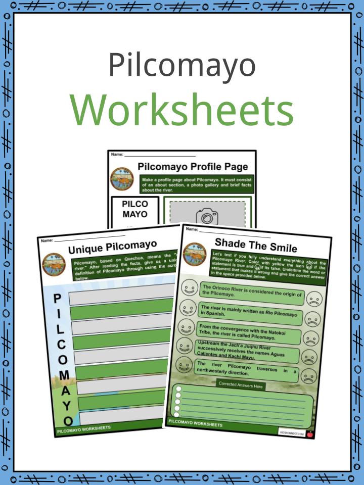
Pilcomayo Worksheets
This is a fantastic bundle which includes everything you need to know about the Pilcomayo across 22 in-depth pages. These are ready-to-use Pilcomayo worksheets that are perfect for teaching students about the river Pilcomayo which is the longest western tributary of the Paraguay River. It has its source in the Andes Mountains in Bolivia and traverses the virgin forests of the Gran Chaco plains in a south-easterly direction. Pilcomayo flows through the Chuquisaca and Tarija departments, passes through the Argentine province of Formosa and the Gran Chaco plains of Paraguay, forming the border between these two countries before it joins the Paraguay River near Asunción.
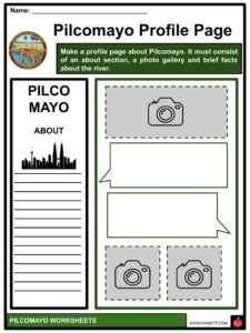

Complete List Of Included Worksheets
- Pilcomayo Facts
- Pilcomayo Profile Page
- Unique Pilcomayo
- Shade The Smile
- Conflict in Pilcomayo
- Crossword Time
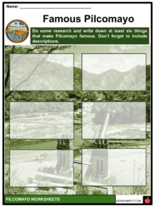
- Famous Pilcomayo
- Poster Making
- Natokoi Tribe
- Fauna Collection
- News Headline
Link/cite this page
If you reference any of the content on this page on your own website, please use the code below to cite this page as the original source.
Link will appear as Pilcomayo Facts & Worksheets: https://kidskonnect.com - KidsKonnect, November 12, 2019
Use With Any Curriculum
These worksheets have been specifically designed for use with any international curriculum. You can use these worksheets as-is, or edit them using Google Slides to make them more specific to your own student ability levels and curriculum standards.