Premium
 Download
Edit
Download
Edit
Download the Sea of Okhotsk Facts & Worksheets
Click the button below to get instant access to these worksheets for use in the classroom or at a home.
Download This Worksheet
This download is exclusively for KidsKonnect Premium members!
To download this worksheet, click the button below to signup (it only takes a minute) and you'll be brought right back to this page to start the download!
Sign Me Up
Edit This Worksheet
Editing resources is available exclusively for KidsKonnect Premium members.
To edit this worksheet, click the button below to signup (it only takes a minute) and you'll be brought right back to this page to start editing!
Sign Up
Not ready to purchase a subscription? Click to download the free sample version Download sample
Download This Sample
This sample is exclusively for KidsKonnect members!
To download this worksheet, click the button below to signup for free (it only takes a minute) and you'll be brought right back to this page to start the download!
Sign Me Up
Table of Contents
The Sea of Okhotsk is a marginal sea and is considered as the northwestern arm of the Pacific Ocean.
See the fact file below for more information on the Sea of Okhotsk or alternatively, you can download our 25-page Sea of Okhotsk worksheet pack to utilise within the classroom or home environment.
Key Facts & Information
INTRODUCTION
- The Sea of Okhotsk is bounded by the east coast of Asia from Cape Lazarev to the mouth of the Penzhina River to the west and north, by the Kamchatka Peninsula and the Kuril Islands to the east and southeast, by the northern coast of the Japanese island of Hokkaido to the south, and by the Sakhalin Island to the southwest.
- The Sea of Okhotsk is mainly enclosed by Russian territory.
- The Sea of Okhotsk is named after Okhotsk, which is known as the first Russian settlement in the Far East.
GEOGRAPHY
- The Sea of Okhotsk is connected to the Sea of Japan on either side of Sakhalin.
- The Sea of Okhotsk is connected to the Sea of Japan on the south through the La Pérouse Strait, and on the west through the Sakhalin Gulf and the Gulf of Tartary.
- During winter, navigation through the Sea of Okhotsk is obstructed by ice floes, which are formed due to the large amount of freshwater from the Amur River.
- According to the International Hydrographic Organization, the limits of the Sea of Okhotsk are as follows:
- On the Southwest. The Northeastern and Northern limits on the Japan Sea [In La Perouse Strait (Sôya Kaikyô). A line joining Sôni Misaki and Nishi Notoro Misaki (45°55’N). From Cape Tuik (51°45’N) to Cape Sushcheva].
- On the Southeast. A line running from Nosyappu Saki (Cape Noshap, 43°23’N) in the Island of Hokusyû (Yezo) through the Kuril or Tisima Islands to Cape Lopatka (South point of Kamchatka) in such a way that all the narrow waters between Hokusyû and Kamchatka are included in the Sea of Okhotsk.
PHYSIOGRAPHY
- The shores around the Sea of Okhotsk are high and rocky, and are dissected by large rivers. These rivers are the Amur River, Tugur River, Uda River, Okhota River, Gizhiga River, and Penzhina River.
- A large amount of continental sediment flows into the sea from the Amur River, and from coastal abrasion and volcanic activity.
PHYSICAL FEATURES
- In East Asia, the Sea of Okhotsk is considered the coldest sea.
- The water of the Sea of Okhotsk is composed of continental drainage, precipitation, and waters that come from the Pacific Ocean that pass through the straits of the Kuril Islands, and from the Sea of Japan that pass through the La Perouse (Sōya) Strait.
- The general movement of water in the Sea of Okhotsk is counterclockwise, the water flows from the Sea of Japan into the Sea of Okhotsk.
- The Pacific current carries warm water towards the Sea of Okhotsk, and due to these warm waters, the eastern half of the sea is warmer than the western part.
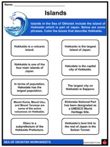
ISLANDS
- The islands of the Sea of Okhotsk include the second largest island of Japan, Hokkaido.
- The largest island of Russia, Sakhalin, is also one of the islands of the Sea of Okhotsk.
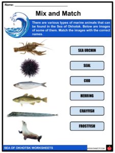
BIODIVERSITY
- The Sea of Okhotsk is considered as one of the richest seas in the world when it comes to biological resources, with various kinds of fish, shellfish, and crabs.
- Marine life in the Sea of Okhotsk is favored by the river drainages, by the intermingling of waters by straits and wind, and the upwelling of nutrient-laden ocean waters.
- The flora of the Sea of Okhotsk is represented by algae and seaweed.
- The fauna, on the other hand, is represented by crayfish, sea mussels, crabs, sea urchins, polyps, and other various types of fish.
- Some other types that are commercially relevant are salmon, herring, pollack, flounder, cod, capelin, and frostfish (or smelts).
- The Sea of Okhotsk is also home to marine mammals such as whales, seals, and sea lions.
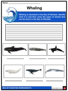
WHALING
- Whaling in the Sea of Okhotsk happened from the 1830s to the early 1900s. Whaling in the Sea of Okhotsk primarily resulted in the catching of right whales and bowhead whales.
- Bowhead whales were mostly taken in the northern half of the sea, while right whales were mostly taken in the southern half.
- Other whales that get caught include sperm whales, pilot whales, gray whales, humpback whales, blue whales, killer whales, beluga whales, and fin whales.
OTHER FACTS
- Some notable ports in the Sea of Okhotsk are Magadan Port in Magadan, Russia; Palana Port in Palana, Russia; Abashiri Port in Hokkaido, Japan; Monbetsu Port in Hokkaido, Japan; and Wakkanai Port in Hokkaido, Japan.
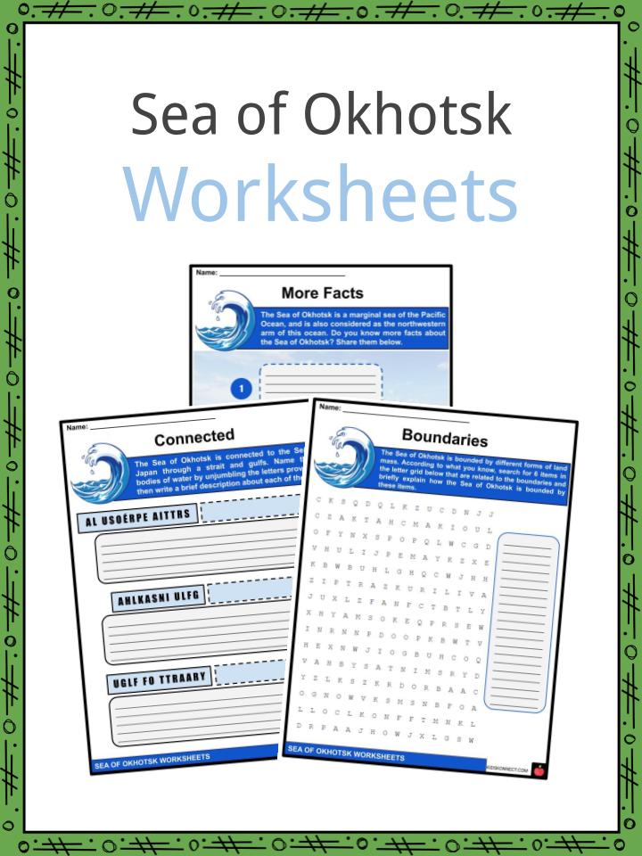
Sea of Okhotsk Worksheets
This is a fantastic bundle which includes everything you need to know about the Sea of Okhotsk across 25 in-depth pages. These are ready-to-use Sea of Okhotsk worksheets that are perfect for teaching students about the Sea of Okhotsk which is a marginal sea and is considered as the northwestern arm of the Pacific Ocean.
Complete List Of Included Worksheets
- Sea of Okhotsk Facts
- More Facts
- Connected
- Boundaries
- Whaling
- Islands
- Mix and Match
- Russia or Japan?
- Name Them
- Crossword
- Promote the Sea
Link/cite this page
If you reference any of the content on this page on your own website, please use the code below to cite this page as the original source.
Link will appear as Sea of Okhotsk Facts & Worksheets: https://kidskonnect.com - KidsKonnect, August 1, 2020
Use With Any Curriculum
These worksheets have been specifically designed for use with any international curriculum. You can use these worksheets as-is, or edit them using Google Slides to make them more specific to your own student ability levels and curriculum standards.