Premium  Download Edit
Download the Solomon Islands Facts & Worksheets
Click the button below to get instant access to these worksheets for use in the classroom or at a home.
Download This Worksheet
This download is exclusively for KidsKonnect Premium members!
To download this worksheet, click the button below to signup (it only takes a minute) and you'll be brought right back to this page to start the download!
Sign Me Up
Edit This Worksheet
Editing resources is available exclusively for KidsKonnect Premium members.
To edit this worksheet, click the button below to signup (it only takes a minute) and you'll be brought right back to this page to start editing!
Sign Up
Not ready to purchase a subscription? Click to download the free sample version Download sample
Download This Sample
This sample is exclusively for KidsKonnect members!
To download this worksheet, click the button below to signup for free (it only takes a minute) and you'll be brought right back to this page to start the download!
Sign Me Up
Table of Contents
The Solomon Islands are a South Pacific archipelago east of Papua New Guinea. It is strategically located on sea routes connecting the South Pacific Ocean, the Solomon Sea, and the Coral Sea.
See the fact file below for more information on the Solomon Islands, or you can download our 31-page Solomon Islands worksheet pack to utilize within the classroom or home environment.
Key Facts & Information
HISTORICAL BACKGROUND
- Prehistory. The Solomon Islands were first settled by people of the Austronesian language group around 2000 BCE before the archaeological record began.
- Around 1500 BCE, Lapita pottery was in use in Santa Cruz and the Reef Islands. Vatuluma Cave (Guadalcanal), Santa Ana Island, and the outlying islands of Anuta and Tikopia have also yielded material dating back to around 1000 BCE.
- Before Europeans arrived, the people of the Solomon Islands were notorious for headhunting and cannibalism.
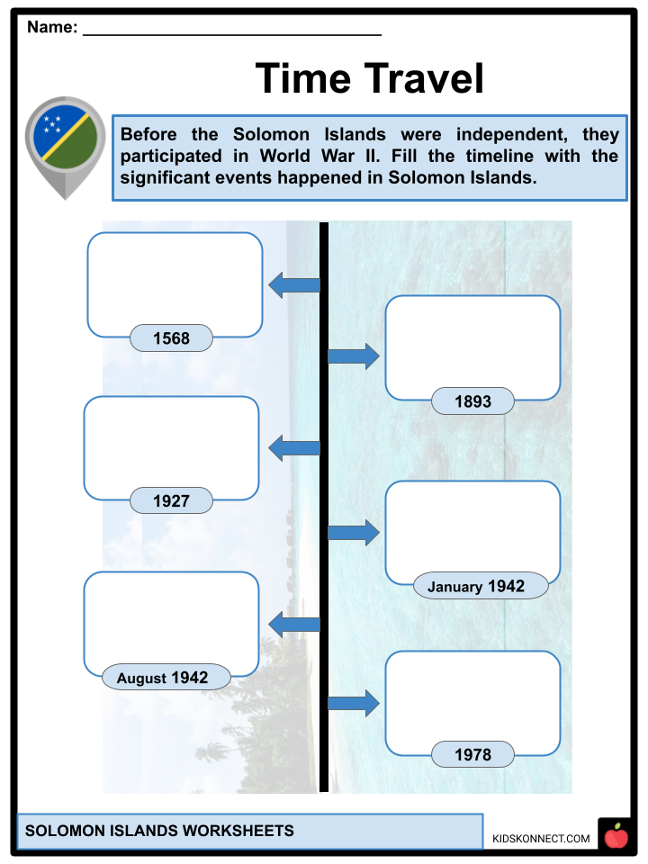
- European contact. On 7 February 1568, ships of the Spanish explorer Álvaro de Mendaña de Neira sighted Santa Isabel island for the first time. Mendaña believed he had discovered the source of King Solomon’s wealth when he discovered alluvial gold on Guadalcanal and named the islands The Islands of Solomon.
- Spain sent several expeditions between 1595 and 1605 to find the islands and establish a colony, but they were all unsuccessful. Captain Philip Carteret rediscovered the Santa Cruz Islands and Malaita in 1767. Later, Dutch, French, and British navigators visited the islands, and they were often met with hostility.
- The Bishop Museum, the Peabody Museum of Salem, and the South Sea Islands Museum have significant collections of Solomon Islands artifacts.
- Colonization. European colonial ambitions led to a German Protectorate over the North Solomon Islands in 1885, which included parts of what is now the Solomon Islands. In June 1893, a British Solomon Islands Protectorate over the southern islands was established.
- District Commissioner William R. Bell was assassinated on Malaita in 1927, along with a cadet named Lillies and 13 Solomon Islanders under his command. A massive punitive expedition, known as the Malaita massacre, followed, killing at least 60 Kwaio, imprisoning nearly 200 in Tulagi (the protectorate capital), and destroying or desecrating many sacred sites and objects. Basiana, the assassin of Bell, was publicly executed on June 29, 1928.
- World War II. In January 1942, Japanese forces occupied the North Solomon Islands, which were part of the Australian Territory of New Guinea, and proceeded south to Tulagi. The U.S. led a counter-attack, with the 1st Division of the U.S. Marine Corps landing on Guadalcanal and Tulagi in August 1942.
- Tulagi, the British administration’s seat on the island of Nggela Sule in Central Province, was destroyed in heavy fighting following U.S. Marine landings.
- Post-war (1945–1978). In Guadalcanal in 1956, the Moro Movement, a movement for social, economic, and political improvement based on cooperative economic enterprise and respect for custom and tradition, began to synthesize a new social order.
- During the 1950s, the British colonial administration established a network of official local councils, which helped to restore stability. In 1970, elections were held again, and a new constitution was enacted. The Legislative and Executive Councils were replaced by a single Governing Council in the 1970 constitution.
- Independence (1978). Self-government was granted in January 1976, and after July 1976, Sir Peter Kenilorea became the Chief Minister who would lead the country to independence. Independence was granted on July 7, 1978, and Kenilorea automatically became the country’s first Prime Minister.
GEOGRAPHY
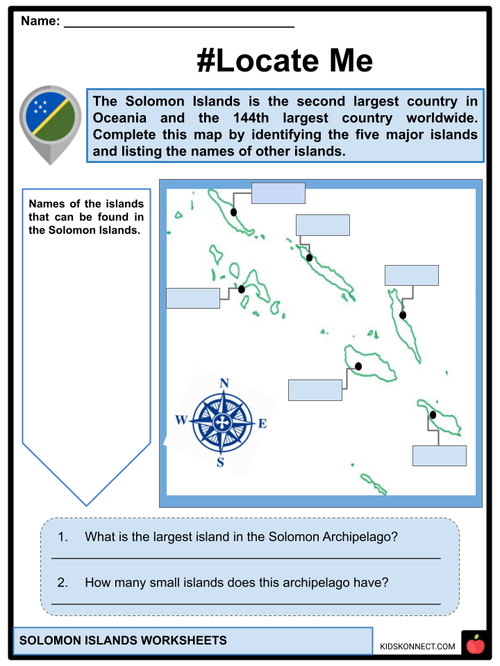
- The Solomon Islands consists of 6 major islands, which are Choiseul, Santa Isabel, San Cristobal or also known as Makira, New Georgia, Malaita, and Guadalcanal.
- The distance between the most western and most eastern islands is approximately 1,500 km (930 mi).
- The Santa Cruz Islands, located north of Vanuatu, are particularly isolated, being more than 200 kilometers (120 miles) from the other islands. The total area is 28,896 km2 (11,157 sq mi). It has the 22nd largest Exclusive Economic Zone in the world, measuring 1,589,477 km2 (613,701 sq mi).
- The Solomon Islands has 227 named mountains. The top 10 highest mountains in the Solomon Islands are Mount Popomanaseu, Mount Makarakomburu, Mount Veve, Mount Oliti, Mount Marescot, Tinakula Volcano, Mount Ghomba, Square Top, Mount Gatere, and Savo Peak.
CLIMATE
- The ocean-equatorial climate of the islands is exceptionally humid all year, with a mean temperature of 26.5 °C (79.7 °F) and few temperature or weather extremes. The cooler months are June through August.
- Though seasons are not perceptible, the northwesterly winds that blow from November to April bring more frequent rainfall and the occasional squall or cyclone.
- The average annual rainfall is approximately 3,050 millimeters (120 in). According to the World Risk Report 2021, the island state ranks second in the world regarding disaster risk.
ECOLOGY
- The Solomon Islands archipelago is divided into two distinct terrestrial ecoregions. The majority of the islands are part of the Solomon Islands rainforests ecoregion, which also includes the islands of Bougainville and Buka; these forests have been impacted by forestry activities. The Santa Cruz Islands, along with the neighboring archipelago of Vanuatu, is part of the Vanuatu rainforests ecoregion.
- There are several active and dormant volcanoes on the islands. The most active volcanoes are Tinakula and Kavachi.
- In 2004, a baseline survey of marine biodiversity in the Solomon Islands discovered 474 species of corals as well as nine species that may be new to science. It has the world’s second-highest coral diversity.
- The coral reefs of the Solomons cover nearly 6,750 km2 (2,610 sq mi) of the total coral reef area. The Solomon Islands have 113 Locally Managed Marine Areas (LMMA) with an estimated 155 no-take zones. Tetepare Island has the largest LMMA, with a 13 km (10 mi) no-take zone.
DEMOGRAPHY
- According to Worldometers’ elaboration of the most recent United Nations data, the Solomon Islands’ current population is 724,521 as of September 28, 2022.
- Ethnic Groups. The majority of Solomon Islanders (95.3%) are Melanesians. Other significant groups include Polynesians (3.1%) and Micronesians (1.2%).
- Languages. While English is the official language, only 2% of the population is fluent. However, with local indigenous languages, an English creole, Pijin, is the country’s de facto lingua franca. Pijin is related to Tok Pisin, the language spoken in Papua New Guinea.
- Religion. The Solomon Islands’ religion is 92% Christian. Anglican 35%, Catholic 19%, South Seas Evangelical Church 17%, United Church 11%, and Seventh-day Adventist 10% are the major Christian denominations.
- Another 5% believe in aboriginal beliefs. The remaining adhere to Islam or the Baháʼí Faith. According to the most recent reports, there are approximately 350 Muslims in the Solomon Islands, including members of the Ahmadiyya Muslim Community.
CULTURE
- The culture of the Solomon Islands reflects the extent of differentiation and diversity among the groups living within the archipelago. The peoples are distinguished by island, language, topography, and geography.
- The cultural zone includes the Solomon Islands and Bougainville Island, part of Papua New Guinea. The Solomon Islands have some culturally Polynesian societies that are not part of the central Polynesian influence region known as the Polynesian Triangle. The Solomon Islands have seven Polynesian outliers: Anuta, Bellona, Ontong Java, Rennell, Sikaiana, Tikopia, and Vaeakau-Taumako.
- Solomon Islands arts and crafts include a diverse range of woven objects, carved wood, stone, and shell artifacts in regional styles.
- The traditional currency in Malaita and throughout the Solomon Islands is Malaita shell money, manufactured in the Langa Langa Lagoon. The money is made up of small polished shell discs drilled and strung together.
- In the Solomon Islands, Tectus niloticus is harvested and used to make items such as pearl buttons and jewelry.
- The Solomon Islands are rich in timber and undeveloped mineral resources such as lead, zinc, nickel, and gold, and much of the population still works in subsistence farming, fishing, and artisanal forestry.
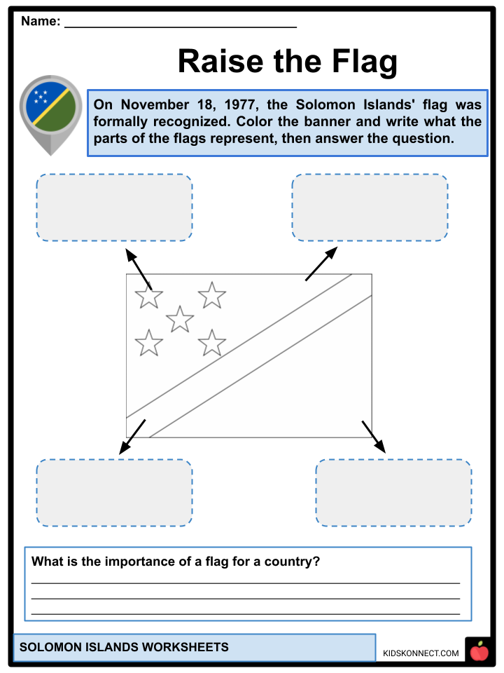
FLAG
- The Solomon Islands’ flag consists of a thin yellow stripe divided diagonally from the lower hoist-side corner, a blue upper triangle and a green lower triangle, and a canton with five white stars.
- It has been the Solomon Islands’ flag since November 18, 1977. Despite the fact that the number of provinces has grown since then, the number of stars on the banner that originally represented them has remained constant.
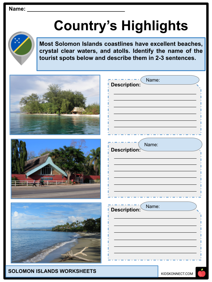
TOURIST SPOTS
- Kennedy Island. It is 1.17 hectares of an uninhabited island named after John F. Kennedy. It became a well-known tourist destination after the young John F. Kennedy swam ashore when his PT boat was struck by a Japanese destroyer in 1943.
- Solomon Islands National Museum. The museum has a collection of more than two thousand items, including remnants from World War II, archaeological artifacts and samples from the natural sciences, and geological and marine specimens.
- Malaita Island. In Malaita, people can witness pure and pristine beauty. The tropical forest and river systems still exist in their original forms and have no exploitation or pollution.
- Bonegi Beach. The Solomon Islands’ capital, Honiara, is located about 12 kilometers northwest of Bonegi beach. This beach is especially popular with divers and snorkelers due to two Japanese warships destroyed nearby in 1942.
Solomon Islands Worksheets
This is a fantastic bundle that includes everything you need to know about Solomon Islands across 31 in-depth pages. These are ready-to-use worksheets that are perfect for teaching kids about Solomon Islands, a South Pacific archipelago east of Papua New Guinea.

Complete List of Included Worksheets
Below is a list of all the worksheets included in this document.
- Solomon Islands Facts
- Mountains Best
- Fact or Bluff?
- Raise the Flag
- Time Travel
- #Locate Me
- Discovered Places
- Country’s Highlights
- Travel with Me
- Today’s Report
- What can I do?
Frequently Asked Questions
Why is it called the Solomon Islands?
According to historical records, the first European explorer of the Solomon Islands was Alvaro De Mendana in 1568. He named this region after King Solomon as it reminded him of where the monarch obtained his gold for constructing the Temple of Jerusalem.
What race are Solomon Islanders?
The Solomon Islanders include people with different languages, cultures, and traditions. Most of the people (93%) originally came from Melanesia. In addition, 4% came from Polynesia, and 1.5% came from Micronesia. A small number of people from Europe and China live there too.
What is the Solomon Islands best known for?
The Solomon Islands remain a largely unknown and untouched paradise, offering an astonishing array of flora and fauna. Home to thousands of diverse species – from plants to animals, mainly marine life – the Solomons play host to many creatures found nowhere else in the world.
Link/cite this page
If you reference any of the content on this page on your own website, please use the code below to cite this page as the original source.
Link will appear as Solomon Islands Facts & Worksheets: https://kidskonnect.com - KidsKonnect, October 20, 2022
Use With Any Curriculum
These worksheets have been specifically designed for use with any international curriculum. You can use these worksheets as-is, or edit them using Google Slides to make them more specific to your own student ability levels and curriculum standards.


