Premium
 Download
Edit
Download
Edit
Download the Western Australia Facts & Worksheets
Click the button below to get instant access to these worksheets for use in the classroom or at a home.
Download This Worksheet
This download is exclusively for KidsKonnect Premium members!
To download this worksheet, click the button below to signup (it only takes a minute) and you'll be brought right back to this page to start the download!
Sign Me Up
Edit This Worksheet
Editing resources is available exclusively for KidsKonnect Premium members.
To edit this worksheet, click the button below to signup (it only takes a minute) and you'll be brought right back to this page to start editing!
Sign Up
Not ready to purchase a subscription? Click to download the free sample version Download sample
Download This Sample
This sample is exclusively for KidsKonnect members!
To download this worksheet, click the button below to signup for free (it only takes a minute) and you'll be brought right back to this page to start the download!
Sign Me Up
Table of Contents
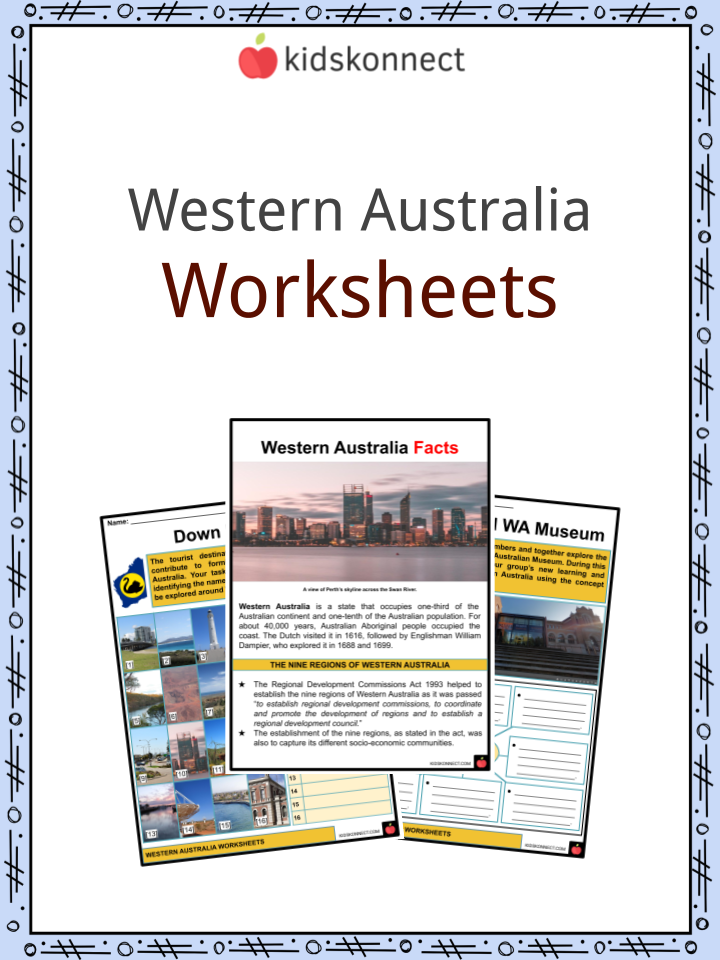
Western Australia is a state that occupies one-third of the Australian continent and one-tenth of the Australian population. For about 40,000 years, Australian Aboriginal people occupied the coast. The Dutch visited it in 1616, followed by Englishman William Dampier, who explored it in 1688 and 1699.
See the fact file below for more information on Western Australia, or you can download our 32-page Western Australia worksheet pack to utilize within the classroom or home environment.
Key Facts & Information
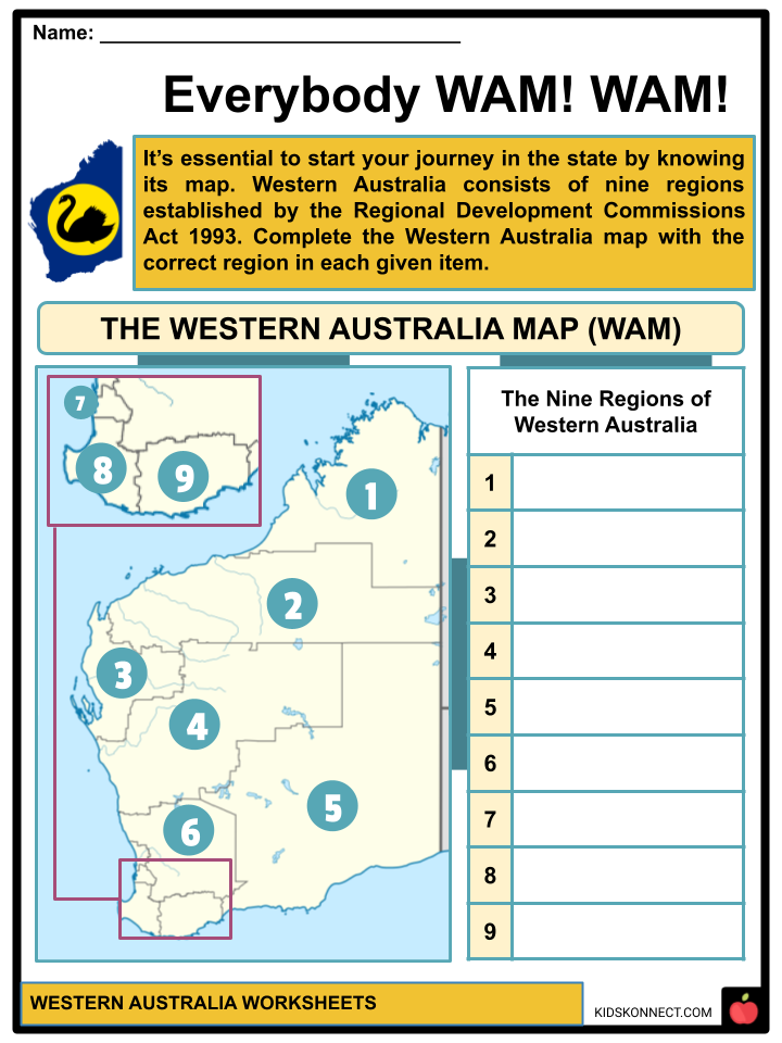
THE NINE REGIONS OF WESTERN AUSTRALIA
- The Regional Development Commissions Act 1993 helped to establish the nine regions of Western Australia as it was passed “to establish regional development commissions, to coordinate and promote the development of regions and to establish a regional development council.”
- The establishment of the nine regions, as stated in the act, was also to capture its different socio-economic communities.
CAPITAL CITY – PERTH
- Perth is the capital city of Western Australia and the fourth largest city in Australia.
- Perth is located in the traditional lands of the Whadjuk Noongar people, who have lived there for at least 45,000 years.
- In 1829, Captain James Stirling founded Perth as the administrative center of the Swan River Colony.
- Perth dominates the Western Australian economy, serving as the state’s major industrial center and administrative center for business and government. This makes for diversified markets over time.
REGION 1 – GASCOYNE
- Information: With a land area of 137,938 km2, the Gascoyne region has the lowest population density in the state.
- Largest City: The largest city in the region is called Carnarvon.
- Industry: Tourism, retail, horticulture, mining, and fishing are among the principal industries of the Gascoyne region.
- Population: With about 9,277 people, this region is considered to have the lowest population in the state. The majority of the population are non-Aborginal people born in Australia.
- Pre-Discovery and Discovery: Indigenous Australians have resided in this region for thousands of years. The first recorded European was in 1616 when Dutch mariner Dirk Hartog stepped onto the land.
- Horticulture: As the primary industry of Gascoyne, its locally known Gascoyne river is rich with fruits such as bananas, mangoes, and tomatoes, along with a wide range of vegetable products that grow along the body of water.
- Climate: This region experiences warm temperatures, making it hot and dry, with low rainfall annually.
- Towns and Destinations: Several destinations around the region have become a product of tourism:
- Carnarvon is a regional town that is currently a growing area for fruits and vegetables, formerly for livestock.
- The Ningaloo coast and Shark Bay became a World Heritage Site thanks to their separate rich coral and marine life.
- Mount Augustus National Park is a remote national park.
REGION 2 – GOLDFIELDS-ESPERANCE
- Information: With an area of 771,276 km2, Goldfields-Esperance is considered the state’s largest region. Kalgoorlie is its largest city.
- Industries: The primary industries in the region of Goldfields-Esperance include a rich resource of gold, nickel, platinum, crops, livestock disposals/ products, retail and manufacturing, and commercial fishing.
- Land: The low and flat plateau that mainly covers the region consists of ancient Precambrian rocks that have remained stable since before the Paleozoic Era, marking the beginning of the disintegration of the supercontinent Pannotia until the creation of the supercontinent Pangaea. This region also has infertile and quite saline soil.
- Climate: The climate varies as cooler temperatures dominate its southern sections while it gets drier in its center.
- Towns and Destinations: The region is home to popular destinations such:
- Coolgardie is one of the major gold rush towns in the region.
- Esperance is a remarkable destination because of its great beaches and outdoor activities such as surfing, scuba diving, and swimming that locals can enjoy.
- Other destinations:
- The Cape Le Grand National Park is known for its granite shoreline and white sandy beaches.
- A diverse range of native plants makes the Fitzgerald River National Park recognized on Australia’s National Heritage List.
REGION 3 – GREAT SOUTHERN
- Information: Located on the south coast, the Great Southern region in Western Australia has a land area of 39,007 km2. Its largest city is Albany.
- Industries: This region’s industries include wool, broadacre crops, livestock, timber, fishing, tourism, and viticulture.
- History: Before the European settlement in the region, the Noongar people inhabited the area for thousands of years.
- Economy: Livestock farming, dairy farming, and crop-growing, as well as the production of wool and lamb, make up for the economy of the Great Southern. Albany, also the oldest European settlement, is a major fishing centre.
- Travel: This region is also known for its popular tourist destinations, such as the Kalgan river and Bremer Bay.
REGION 4 – KIMBERLEY
- Information: Established in 1882, Kimberley is the northernmost region in Western Australia. It has a land area of 424, 517 km2, and its largest city is Broome.
- Industries: Its principal industries include mining, construction, tourism and retail, agriculture, and pearling.
- Etymology: The region was named after John Wodehouse, 1st Earl of Kimberley.
- Earliest Records: It is considered to have records of the earliest human settlements in Australia, dating back to 65,00 years ago.
- Art: Rock art, dating back 40,000 years, can be found in this region. Hand stencils are the earliest type of rock art.
- Population: Approximately 40% of the population is of Aboriginal descent, the various Indigenous people of the Australian mainland.
- Languages: Four endemic language families in this region are the following: Nyulnyulan, Bunuban, Worrorran, and Jarrakan languages.
- Climate: This region has a tropical monsoon climate but also is described as one of the hottest parts of Australia.
- Fauna: A wide variety of birds and colossal saltwater crocodiles can be found in the Kimberley region.
- Flora: Open savanna ecosystem mainly covers the Kimberley region and is shared with low bloodwood and boab trees, easily recognized by their swollen base in the trunk.
- Tourist Destinations: You can find tourist destinations such as Bungle Bungle Range, Lake Argyle, and Horizontal falls.
- Protected Areas: This region includes the Prince Regent National Park and the Drysdale River National Park.
REGION 5 – MID WEST
- Information: Mid-West is a region in Western Australia. It has a land area of 478,000 km2, and Geraldton is its largest city.
- Industry: This state region is known for its principal sectors such as mining, crops, livestock, fishing, and tourism.
- Economy: The following industries make up the region’s diverse economy thanks to its varying geography and climate. Intensive agriculture blooms from the annual rainfall of 400-500 millimeters near the coast, there are rich mineral resources, the capital city offers a variety of tourist attractions, and the region itself has the highest-value fishing industry in the state.
- Science: Aside from its five conservation parks, this region is selected as one of the two primary radio telescope locations of the Square Kilometer Array (SKA) project. It is also home to the West Australian Space Centre, a satellite park.
REGION 6 – PEEL
- Information: With a 6,648 km2 land area, Peel is one of the Western Australia regions located on the state’s west coast.
- Industry: Principal industries are construction, manufacturing, retail trade, health care/ social assistance, and mining.
- History: Indigenous Australians, especially the Pindjarup dialect group of the Noongar people, inhabited the region of Peel before Europeans arrived.
- Economy: The economy of the Peel region is dominated by mining because of the large reserves and resources of bauxite, gold, mineral sands, and an aluminum refinery.
- Challenges: Rapid population growth and balancing economic and social development with environmental conservation are the challenges that the residents of the Peel region face.
REGION 7 – PILBARA
- Information: Pilbara is a Western Australia region covering 507,896 km2 of the state. Its largest city is Karratha.
- Economy: This region contributes to the Australian economy through petroleum, natural gas, and iron ore deposits.
- Industry: The principal industries of this region include iron ores, liquefied natural gas, crude oil and condensate, manufacturing, and tourism.
- Etymology: It is said that the name of the region derives from the Aboriginal word bilybara, meaning “dry” in Nyamal and Banyjima languages.
- Environment: The region, as a global biodiversity hotspot for subterranean fauna, also contains some of the world’s oldest rock formations, ancient fossilized remains, and rocks dating back more than three billion years. The oldest evidence of life on Earth was discovered at Strelley Pool in its 3.4 billion-year-old sandstones.
- History: Before Europeans colonized this region, the Aboriginal population inhabited this place for 30,000-40,000 years before Francis Thomas Gregory became the first European to explore the area in 1861.
- Climate: The region also experiences arid and tropical climates with high temperatures and low irregular rainfall statistics.
- Ecology: This region is home to various invertebrates and subterranean fauna. Several species are endemic to this region. The extraction of mineral resources has damaged wildlife but is being addressed for protection and conservation.
REGION 8 – SOUTH WEST
- Information: The South West is one of the nine regions of Western Australia. It covers a land area of 24,000 km2, and its largest city is Bunbury.
- Industry: The principal industries of the South West include coal, aluminum, mineral sands, manufacturing, food, agribusiness, tourism, wine, and agriculture.
- Climate: The South West region has a Mediterranean climate, distinguished by dry summers and mild, wet winters.
- Economy: As a major producer of aluminum oxide and mineral sands worldwide, this region is known for its diverse economy.
- Tourism: The region is also considered the second-most popular destination in the state, particularly Perth, the state’s capital and largest city. Well-known attractions and destinations include:
- The Cape Naturaliste is a coastal landform wherein its first people, Wardandi Aboriginals, have called the place “Kwirrejeenungup”, meaning “the place with the beautiful view.”
- Ngilgi cave is a type of Karst cave in the region. Karst is a topography formed from the dissolution of soluble rocks. The Wardandi believe that the passage to the afterlife comes from caves.
- The Cape Leeuwin Lighthouse was designed not only as a navigational aid but also as an automatic weather station on the Cape Leeuwin headland.
- Diamond, Gloucester, and Dave Evans Bicentennial are three well-known different lookout tree species found in the South West region.
REGION 9 – WHEATBELT
- Information: The Wheatbelt region in Western Australia covers 154,862 km2 of land area. The largest city is Northam.
- Industry: The principal industries of Wheatbelt include grain, livestock, mining, construction, and tourism.
- Ecosystem: This region, with a range of ecosystems, is home to many nationally threatened birds and the country’s critically endangered plants.
- Climate and Economy: Part of the region near the coast, Wheatbelt, experiences relatively high rainfall and mild temperatures. The eastern fringe of this region uses its very arid climate to produce livestock such as sheep. Mining and agriculture also serve their own resource.
Western Australia Worksheets
This fantastic bundle includes everything you need to know about Western Australia across 32 in-depth pages. These ready-to-use worksheets are perfect for teaching kids about Western Australia, which occupies one-third of the Australian continent and is home to one-tenth of the Australian population.

Complete List of Included Worksheets
Below is a list of all the worksheets included in this document.
- Western Australia Facts
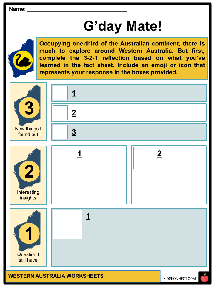
- G’day Mate!
- Everybody WAM! WAM!
- State Journal
- Written in the Stars
- Travel Safe
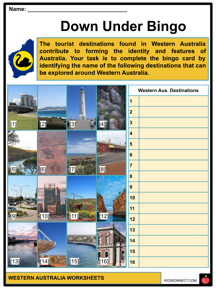
- Down Under Bingo
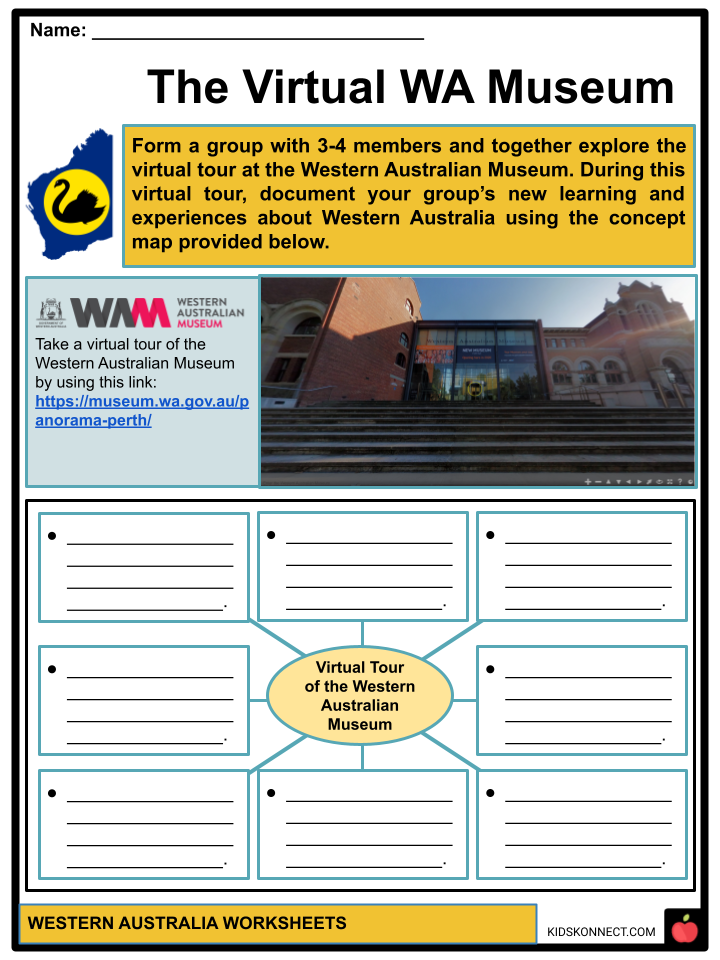
- The Virtual WA Museum
- This Art Rocks!
- Protecting Wildlife
- Big Issues for WA
Frequently Asked Questions
What is Western Australia known for?
Prepare to be enchanted by the untouched beauty of white sandy beaches, vast outback landscapes, a millennia-old culture, and remarkable UNESCO World Heritage reef structures. Top it off with world-class surf; you will find an unforgettable vacation experience here.
Is Western Australia hot or cold?
In winter, the average temperature is 8 to 19 degrees Celsius. It rains a little bit, but not often. The days are warm and sunny in spring, with an average temperature of 11.7 to 23 degrees Celsius.
What is Western Australian culture?
Australia’s culture is a blend of the British influence and the distinct characteristics that its geography and Aboriginal, Torres Strait Islander, and other Oceania people have added to it. This has resulted in an enriching mix of customs that make up Australia’s unique identity.
Link/cite this page
If you reference any of the content on this page on your own website, please use the code below to cite this page as the original source.
Link will appear as Western Australia Facts & Worksheets: https://kidskonnect.com - KidsKonnect, December 28, 2022
Use With Any Curriculum
These worksheets have been specifically designed for use with any international curriculum. You can use these worksheets as-is, or edit them using Google Slides to make them more specific to your own student ability levels and curriculum standards.