Premium
 Download
Edit
Download
Edit
Download the Burkina Faso Facts & Worksheets
Click the button below to get instant access to these worksheets for use in the classroom or at a home.
Download This Worksheet
This download is exclusively for KidsKonnect Premium members!
To download this worksheet, click the button below to signup (it only takes a minute) and you'll be brought right back to this page to start the download!
Sign Me Up
Edit This Worksheet
Editing resources is available exclusively for KidsKonnect Premium members.
To edit this worksheet, click the button below to signup (it only takes a minute) and you'll be brought right back to this page to start editing!
Sign Up
Not ready to purchase a subscription? Click to download the free sample version Download sample
Download This Sample
This sample is exclusively for KidsKonnect members!
To download this worksheet, click the button below to signup for free (it only takes a minute) and you'll be brought right back to this page to start the download!
Sign Me Up
Table of Contents
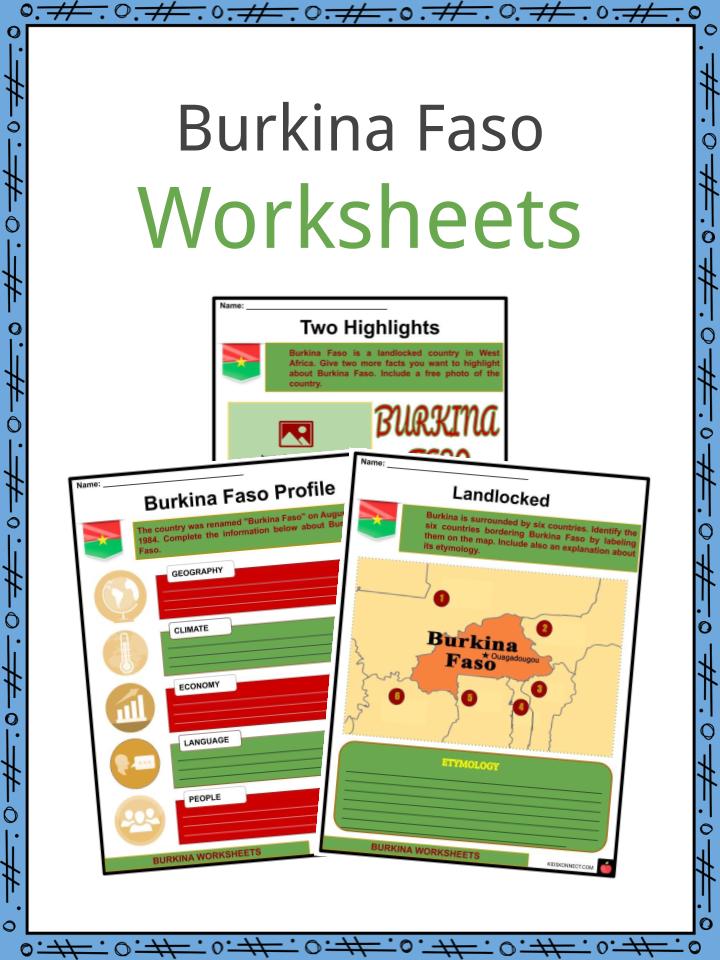
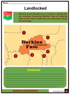
Burkina Faso is a landlocked country in West Africa covering an area of around 274,200 square kilometers. Burkina is surrounded by six countries: Mali to the north and west; Niger to the east; Benin to the southeast; Togo to the southeast; Ghana to the south; and Ivory Coast to the southwest.
See the fact file below for more information on the Burkina Faso or alternatively, you can download our 20-page Burkina Faso worksheet pack to utilise within the classroom or home environment.
Key Facts & Information
ETYMOLOGY
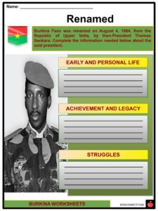
- Previously called the Republic of Upper Volta, the country was renamed “Burkina Faso” on August 4, 1984, by then-President Thomas Sankara.
- The words “Burkina” and “Faso” both originate from another language spoken in the country: “Burkina” comes from Mossi which means “upright,” showing how the people are proud of their integrity, while “Faso” comes from the Dioula language and means “fatherland” (literally, “father’s house”).
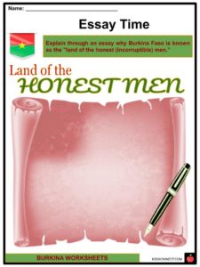
- The CIA shortens the etymology as “land of the honest (incorruptible) men.”
HISTORY
- Burkina Faso is a modest, poor, landlocked country in West Africa.
- Burkina Faso was once part of French West Africa from 1896 until 1960.
- The earliest people to settle in the region were the Mossi people in the 11th and 13th centuries.
- They established powerful kingdoms such as Ouagadougou, Tenkodogo, and Yatenga.
- These kingdoms were centers of the trans-Saharan trade.
- These kingdoms were able to resist conquest by Mali as well as the Songhay Empires.
- As colonized later in 1890 by the French who rewrote the borders, according to the present borders.
- The country walked towards independence under a Mossi dominated party.
- The Mossi were kingdoms of tribes all over Burkina Faso.
- On August 5, 1960, Upper Volta became independent from France.
- In 1984, the country changed its name to Burkina Faso.
- Because Burkina Faso is a poor country it has not been able to satisfy the needs of its population.
- This has resulted in numerous coups as well as the emigration of young people to more prosperous countries like Ghana, the Ivory Coast, and Nigeria.
GEOGRAPHY
- With the total size of 270,764 square kilometers (104,543 square miles), Burkina Faso is the 74th largest country in the world and is slightly larger than the American state of Colorado.
- The largest city, which is also the capital of Burkina Faso, is Ouagadougou.
- It is situated south of the Sahara Desert.
- Burkina Faso has a flat terrain, plains, and hills in the west and southeast.
- Burkina’s highest point is Tenakourou at 749 meters, while the lowest point is the Mouhoun (Black Volta) River at 200 meters.
- Burkina Faso has a tropical climate in which summers are hot and wet while winters are warm and dry.
- It has three rivers: Black Volta (Mouhoun), Red Volta (Nazinon), and White Volta (Nakabe). They run through the western half of Burkina Faso.
- Floras and faunas in Burkina Faso are protected in two national parks and several reserves.
ECONOMY
- Burkina Faso, as one of the poorest countries in the world, has around 43.7% of its population living under the Poverty Line and placed 185 out of 188 countries on the UNDP Human Development Index in 2015.
- The Human Development Index is a measure of the quality of life, taking into account three main areas of human development: longevity, education, and economic standard of living.
- Burkina Faso’s economy is largely based on agriculture, which employs close to 80% of the working population, although gold exports have increased in recent years.
- It is also Africa’s largest producer of cotton, earning over 200 million in revenue every year for Burkina Faso. Cotton is the mainstay of the economy.
- Despite the development made in the past two decades, Burkina Faso faces several development challenges, especially in terms of health and education. It ranks 144th among 157 countries in the new human capital index organized by the World Bank.
- The December 2018 report by the World Bank showed that the poverty rate fell slightly between 2009 and 2014, from 46% to a still-high 40.1%.
- Moreover, insecurity linked to frequent terrorist attacks since 2016 has created an unparalleled humanitarian crisis.
NATURAL RESOURCES
- Burkina Faso has four national parks, one UNESCO Biosphere reserve, and three complete reserves.
- One of the most famous tourist sites is The Cascades de Karfiguela, or Banfora Cascades, which are waterfalls along the Komoe River in Southwestern Burkina Faso.
- The peaks of Sindou, which are a rock formation near the town of Sindou, were underwater millions of years ago and were shaped by the elements.
Burkina Faso Worksheets
This is a fantastic bundle which includes everything you need to know about the Burkina Faso across 20 in-depth pages. These are ready-to-use Burkina Faso worksheets that are perfect for teaching students about the Burkina Faso which is a landlocked country in West Africa covering an area of around 274,200 square kilometers. Burkina is surrounded by six countries: Mali to the north and west; Niger to the east; Benin to the southeast; Togo to the southeast; Ghana to the south; and Ivory Coast to the southwest.
Complete List Of Included Worksheets
- Burkina Faso Facts
- Two Highlights
- Burkina Faso Profile
- Landlocked
- Essay Time
- Significant Events
- Renamed
- Three Rivers
- Unjumble
- Tourist Sites
- Representation
Link/cite this page
If you reference any of the content on this page on your own website, please use the code below to cite this page as the original source.
Link will appear as Burkina Faso Facts & Worksheets: https://kidskonnect.com - KidsKonnect, July 20, 2020
Use With Any Curriculum
These worksheets have been specifically designed for use with any international curriculum. You can use these worksheets as-is, or edit them using Google Slides to make them more specific to your own student ability levels and curriculum standards.