Premium  Download Edit
Download the Croatia Facts & Worksheets
Click the button below to get instant access to these worksheets for use in the classroom or at a home.
Download This Worksheet
This download is exclusively for KidsKonnect Premium members!
To download this worksheet, click the button below to signup (it only takes a minute) and you'll be brought right back to this page to start the download!
Sign Me Up
Edit This Worksheet
Editing resources is available exclusively for KidsKonnect Premium members.
To edit this worksheet, click the button below to signup (it only takes a minute) and you'll be brought right back to this page to start editing!
Sign Up
Not ready to purchase a subscription? Click to download the free sample version Download sample
Download This Sample
This sample is exclusively for KidsKonnect members!
To download this worksheet, click the button below to signup for free (it only takes a minute) and you'll be brought right back to this page to start the download!
Sign Me Up
Table of Contents
Croatia is a crescent-shaped country located in the Balkan Peninsula, bordered by the countries of Slovenia, Hungary, Serbia, Bosnia and Herzegovina, and the Adriatic Sea.
See the fact file below for more information on the Croatia or alternatively, you can download our 20-page Croatia worksheet pack to utilise within the classroom or home environment.
Key Facts & Information
HISTORICAL AND GEOGRAPHICAL BACKGROUND
- In the 7th century, the Croats settled what is now Croatia and the then-Roman province of Pannonia. Until the 9th century, during the reign of Charlemagne, people were converted to Christianity.
- In 925, the Croats established their own independent kingdom after the defeat of the Byzantine and Frankish invaders.
- In 1091, Croatia was conquered by the Hungarians after a civil war in starting in 1089.
- In 1526, following the Hungarian defeat at the battle of Mohacs, Croatia along with Hungary elected Austrian Archduke Ferdinand of Habsburg as king.
- In 1867, the kingdom of Austria-Hungary was established and Croatia as part of it. Until 1918 – the end of the First World War – Croatia was part of Hungary. On October 29, 1918, it declared its independence and joined the union with Montenegro, Serbia, and Slovenia and became part of Yugoslavia. After WWI and the Nazis defeat, Croatia became a republic.
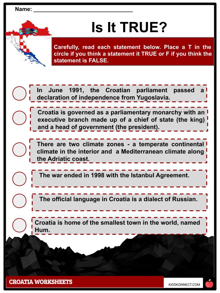
- In 1991, the Croatian parliament declared its independence from Communist Yugoslavia which resulted to fighting against the Serbs.
- On January 2, 1992, the United Nations arranged a ceasefire and sent 14,000 people from the peacekeeping force to monitor the agreement.
- On January 15, 1992, the European Union recognized Croatian independence. By 1993, Krajina, a Serbian dominated part of Croatia was integrated with other Serbs in Bosnia and Serbia proper through a referendum.
- In April 2009, Croatia joined NATO, and the European Union in 2013.
- Croatia covers an area of 56,538 km2 and its territorial waters cover 31,900 km2. Its capital, Zagreb, is the largest town in the country with about 800,000 inhabitants as of 2011.
- Croatians experience two climate zones – temperate continental climate and Mediterranean climate near the coastline of the Adriatic sea. Given its diverse geography, Croatia has varied species of flora and fauna per region.
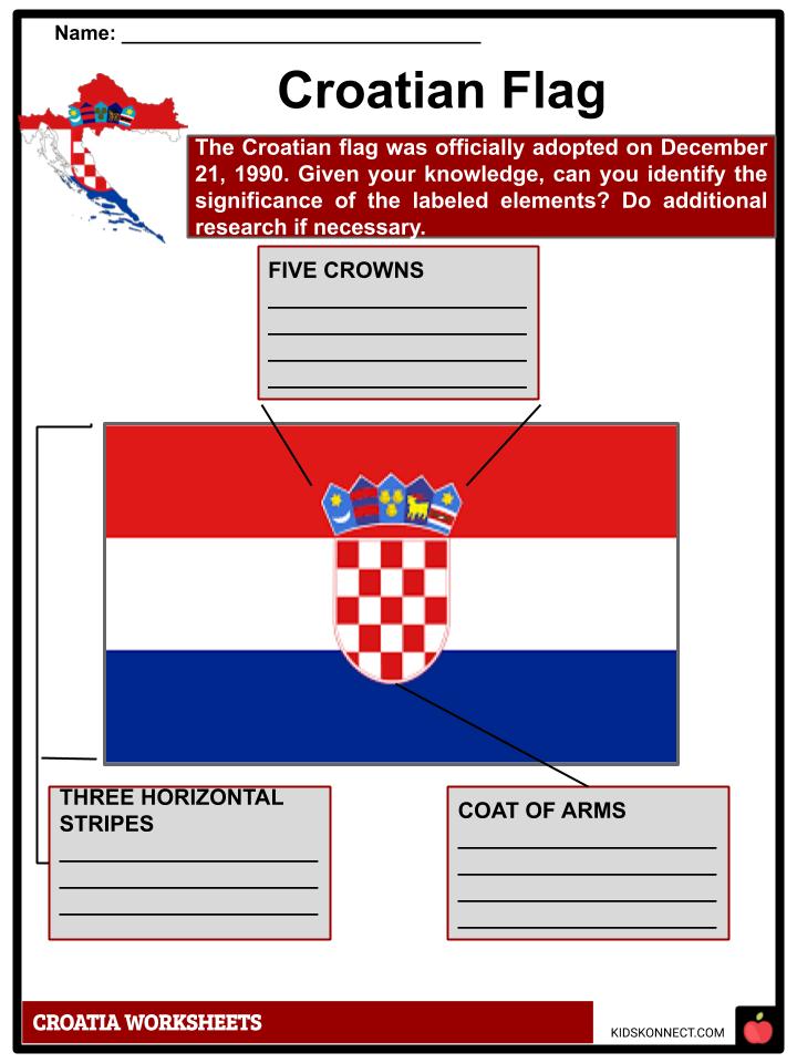
CROATIAN FLAG
- Officially known as the Republic of Croatia, its flag was adopted on December 21, 1990. It consists of three horizontal lines of red, white, and blue, with the coat of arms at the center.
- The coat of arms in the middle has a crown with five smaller shields which signifies the historical Croatian crowns. From left to right, the crowns stand for the oldest Croatian coat of arms, Dubrovnik Republic coat of arms, Dalmatia, Istria, and Slavonia. The tricolor flag was inspired by the imperial flag of Russia.
PEOPLE AND GOVERNMENT
- Based on UN estimates, Croatia’s population is around 4,144,543. The majority of the population are Roman Catholics. Ethnically, the country is dominated with Croatians, followed by Serbians, Italians, Hungarians, Slovenians, Germans, and Czechs.
- Croatian as a language belongs to the Slavic group. Moreover, foreign languages in Croatia include English, German, and Italian.
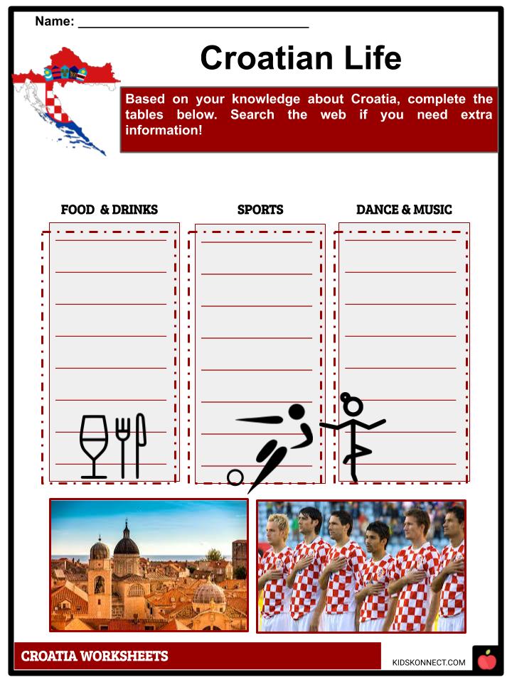
- Among the traditional Croatian dishes include eka (or ispod peke) made of meat or seafood (octopus or squid); brodet, a fish stew from Dalmatia; the hvarska gregada, Bakalar s krumpirom (dried cod with potatoes); pasticada truffles (tartufima) in Istria; fritaja; istarska jota; and djuvec in the Croatian interior.
- Since its independence, Croatia is governed by a parliamentary democratic form of government. The Prime Minister serves as the head of government.
- The executive power is exercised by the President, while the Croatian Parliament has the legislative power.
- The judiciary is independent from the President and the Parliament.
Croatia Worksheets
This is a fantastic bundle which includes everything you need to know about Croatia across 22 in-depth pages. These are ready-to-use Croatia worksheets that are perfect for teaching students about the Croatia which is a crescent-shaped country located in the Balkan Peninsula, bordered by the countries of Slovenia, Hungary, Serbia, Bosnia and Herzegovina, and the Adriatic Sea.
Complete List Of Included Worksheets
- Croatia Facts
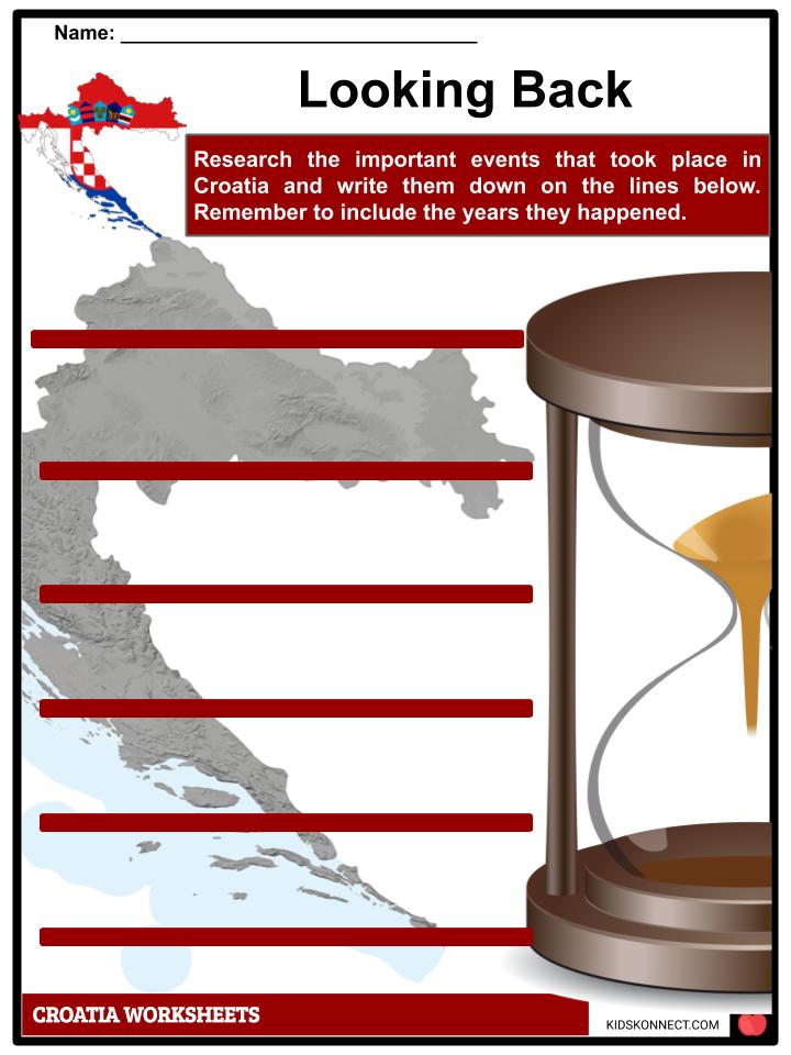
- Looking Back
- Croatian Flag
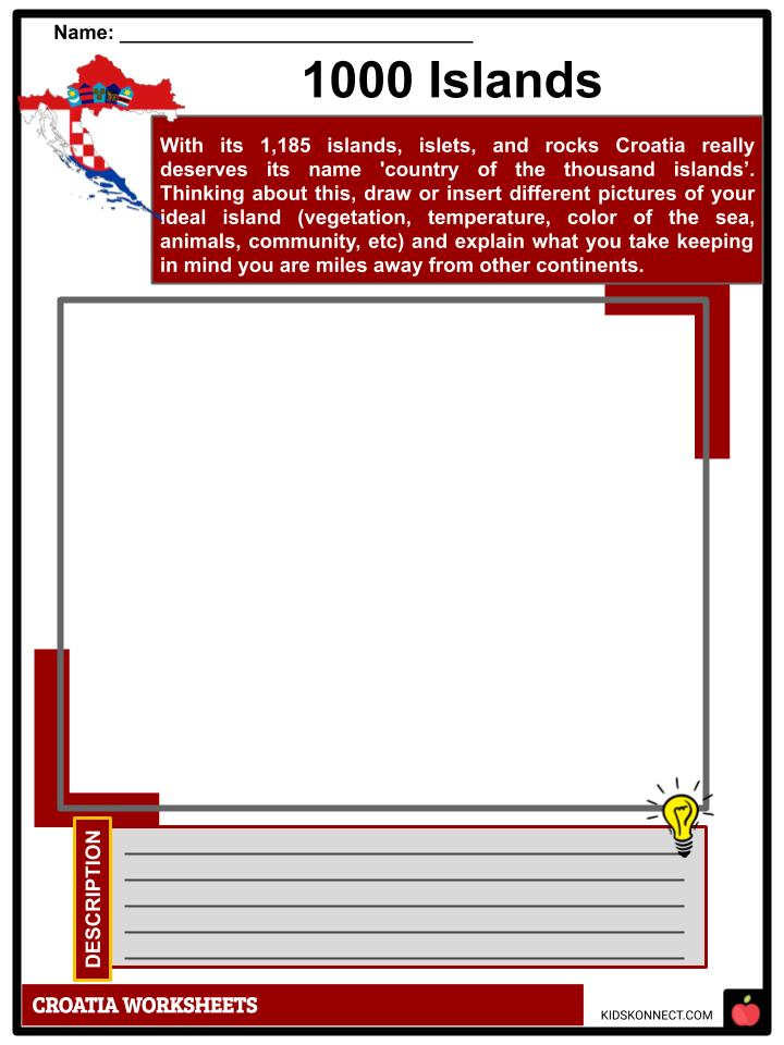
- 1000 Islands
- Croatian Life
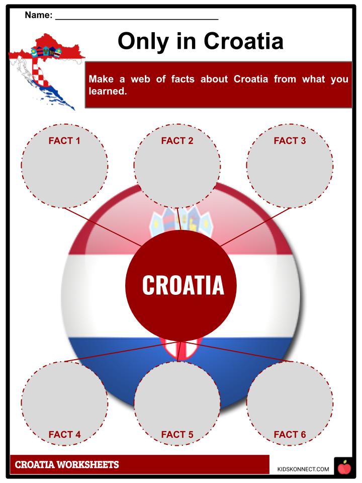
- Only in Croatia
- Is it TRUE?
- Crossing Croatia
- Croatian Civil War
- Powerful Women
- Touring Croatia
Link/cite this page
If you reference any of the content on this page on your own website, please use the code below to cite this page as the original source.
Link will appear as Croatia Facts & Worksheets: https://kidskonnect.com - KidsKonnect, May 27, 2019
Use With Any Curriculum
These worksheets have been specifically designed for use with any international curriculum. You can use these worksheets as-is, or edit them using Google Slides to make them more specific to your own student ability levels and curriculum standards.


