Premium
 Download
Edit
Download
Edit
Download the Karachi Facts & Worksheets
Click the button below to get instant access to these worksheets for use in the classroom or at a home.
Download This Worksheet
This download is exclusively for KidsKonnect Premium members!
To download this worksheet, click the button below to signup (it only takes a minute) and you'll be brought right back to this page to start the download!
Sign Me Up
Edit This Worksheet
Editing resources is available exclusively for KidsKonnect Premium members.
To edit this worksheet, click the button below to signup (it only takes a minute) and you'll be brought right back to this page to start editing!
Sign Up
Not ready to purchase a subscription? Click to download the free sample version Download sample
Download This Sample
This sample is exclusively for KidsKonnect members!
To download this worksheet, click the button below to signup for free (it only takes a minute) and you'll be brought right back to this page to start the download!
Sign Me Up
Table of Contents
Karachi is the capital of the Pakistani province of Sindh. It is the most populous city in Pakistan and the fifth-most-populous city proper in the world. Ranked as a beta-global city, Karachi is Pakistan’s premier industrial and financial centre.
See the fact file below for more information on the Karachi or alternatively, you can download our 19-page Karachi worksheet pack to utilise within the classroom or home environment.
Key Facts & Information
DESCRIPTION
- Karāchi is the city capital of Sindh province, southern Pakistan. It is the country’s largest city, principal seaport, and a major commercial and industrial centre. Karāchi is located on the coast of the Arabian Sea immediately northwest of the Indus River Delta.
- The city has been called Caranjee, Crochey, Krotchey, Currachee, and Kurrachee. All its names are believed to be derived from the Sindhi name of the original settlement that initially stood on the spot—Kalachi-Jo-goth (meaning the village of Kalachi, the headman of the tribe).
- The impetus for Karāchi’s development originally came from its role as the port serving the Indus River valley and the Punjab region of British India.
HISTORY
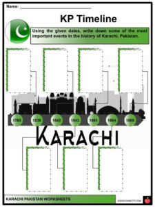
- Karāchi was a small fishing village when a group of traders moved there in the early 18th century from the decaying port of Kharak Bandar nearby.
- Besides the natural protection against monsoon storms, Manora Head furnished an excellent site for the defense of the harbour, and the Talpura amīrs who gained Karāchi from the Khān of Kalāt in 1795 erected a permanent fort on it.
- The settlement expanded rapidly and was already significant when it was captured in 1839 by the British, who annexed it in 1842, together with the province of Sindh. It then became an army headquarters for the British and also began to develop from a fishing village into the principal port for the Indus River region.
- In 1843, a river-steamer service was introduced between Karāchi and Multān, about 500 miles up the Indus. Port facilities were improved from 1854 onward. In 1861, a railway was built from Karāchi to Kotri, 90 miles upstream on the right bank of the Indus, opposite Hyderābād.
- In 1864, direct telegraph communications were established with London and with the interior. With the opening of the Suez Canal in 1869, the importance of Karāchi grew, and it became a full-fledged seaport. By 1873, it possessed an efficient and well-managed harbour.
- Karāchi was connected directly with the hinterland when the railway line was extended from Kotri in 1878 to join the Delhi-Punjab railway system at Multān.
PEOPLE
- No ethnic group predominates in the city. Cultural and social activities essentially revolve around religion.
- The population is almost entirely Muslim, but there are also small Christian, Hindu, Parsi, Buddhist, and Jain minorities.
- Most of the Muslims are of Indian or Pakistani origin, except for “Makranis” and “Shiddies”, who have black African ancestry. They originated during the era of the slave trade in the days before British rule, when Karāchi was an important slave-trading centre.
- Some of the members of the Christian minority are of Indo-Pakistani origin, while others are descended from Portuguese or other European groups.
CULTURE
- The Arts Council of Pakistan is the primary cultural institution in the city; it organizes various cultural functions including art exhibitions, and offers training in music.
- The Ghanshyam Art Centre and the Bulbul Academy promote Pakistani dancing and other cultural activities.
- Karāchi does not have a well-established theater, but amateur dramas and variety shows are frequently staged in Katrak Hall. Motion pictures are more popular, and there are over 50 movie theaters.
- Karāchi has a small museum containing relics of the early Indus Valley civilization and examples of the Greco-Buddhist art of Gandhāra (a region of ancient India in what is now northwestern Pakistan); it also has some ethnological collections representing life in different regions of Pakistan.
TRANSPORTATION
- The Karāchi-Peshāwar highway links the city with the interior of Pakistan, while the Karāchi-Ormāra highway extends along the coast.
- The Karāchi-to-Zāhedān highway connects it with Iran and other Middle Eastern countries. Express roads radiate from the city centre, while feeder roads connect the express roads with local streets.
- Karāchi is the terminus of Pakistan’s railway system, which mainly serves to transport goods between Karāchi and the interior.
- There are also passenger trains, as well as a circular railway that skirts the city on the north and the east for commuter traffic and the transport of goods between the port and the industrial areas.
- Karāchi Airport provides international service. The port of Karāchi is one of the busiest east of Suez.
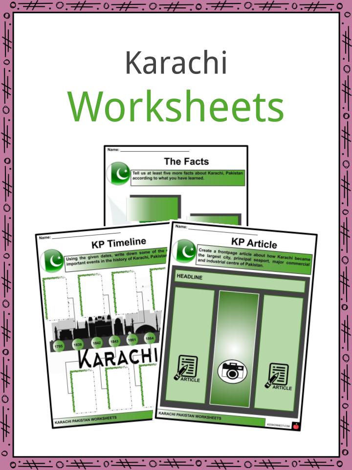
Karachi Worksheets
This is a fantastic bundle which includes everything you need to know about the Karachi across 19 in-depth pages. These are ready-to-use Karachi worksheets that are perfect for teaching students about the Karachi which is the capital of the Pakistani province of Sindh. It is the most populous city in Pakistan and the fifth-most-populous city proper in the world. Ranked as a beta-global city, Karachi is Pakistan’s premier industrial and financial centre.
Complete List Of Included Worksheets
- Karachi, Pakistan Facts
- The Facts
- KP Timeline
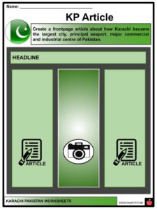
- KP Article
- Karachi Words
- My City
- KP Scramble
- Famous Foods
- Modes of Transport
- KP Tour
- Same and Different
Link/cite this page
If you reference any of the content on this page on your own website, please use the code below to cite this page as the original source.
Link will appear as Karachi Facts & Worksheets: https://kidskonnect.com - KidsKonnect, November 21, 2019
Use With Any Curriculum
These worksheets have been specifically designed for use with any international curriculum. You can use these worksheets as-is, or edit them using Google Slides to make them more specific to your own student ability levels and curriculum standards.