Premium
 Download
Edit
Download
Edit
Download the The Middle Earth in Ecuador Facts & Worksheets
Click the button below to get instant access to these worksheets for use in the classroom or at a home.
Download This Worksheet
This download is exclusively for KidsKonnect Premium members!
To download this worksheet, click the button below to signup (it only takes a minute) and you'll be brought right back to this page to start the download!
Sign Me Up
Edit This Worksheet
Editing resources is available exclusively for KidsKonnect Premium members.
To edit this worksheet, click the button below to signup (it only takes a minute) and you'll be brought right back to this page to start editing!
Sign Up
Not ready to purchase a subscription? Click to download the free sample version Download sample
Download This Sample
This sample is exclusively for KidsKonnect members!
To download this worksheet, click the button below to signup for free (it only takes a minute) and you'll be brought right back to this page to start the download!
Sign Me Up
Table of Contents
The Middle of the World in Ecuador (Spanish: La Mitad del Mundo) is a tract of land located in Pichincha, Ecuador. It has a Monument on the Equator depicting the location of the equator (0° 0’ 0” Latitude). It also commemorates the Geodesic Mission of the French Academy of Sciences during the 18th century that first determined the equatorial line. However, it was proven inaccurate later by GPS.
See the fact file below for more information on the Middle Earth in Ecuador or alternatively, you can download our 17-page The Middle Earth in Ecuador worksheet pack to utilise within the classroom or home environment.
Key Facts & Information
THE FRENCH GEODESIC MISSION AND THE MONUMENT
- In 1736, an expedition was commissioned to determine the placement of the equatorial line. This was the French Geodesic Mission, led by Louis Godin, Pierre Bouguer, and Charles Marie de La Condamine.
- Attempts to measure the length of a degree of latitude were done. It was found out initially that the equatorial line passes through the ruins built by the Quitu-Cara culture in the area.
- However, the measurement was found inaccurate by 240 meters from where the monument currently stands.
- Ecuador’s government built a monument in honor of the expedition in 1935. Then, it was replaced by a new one named Ciudad Mitad del Mundo with a height of 30 meters in 1972.
THE MIDDLE EARTH’S MUSEUM
- Along with the monument, the area is also home to the Museo Etnográfico Mitad del Mundo (English translation: Ethnographic Museum Middle of the Earth).
- The museum has a lot of collections depicting indigenous customs, rites, and traditions of Ecuador’s people. It provides visitors an insight about the culture of the indigenous people who lived in the country.
- The Itiñan Museum is also present in the area for those who are curious about what happens when you are at the middle of the Earth.
- In the said museum, visitors can enjoy participating in scientific experiments such as balancing an egg on a nail, and seeing the water flowing down the sink.
DISCREPANCIES ON MEASURING THE EQUATORIAL LINE
- Local geographer Luis Gudino obtained data from the experiments he conducted along with the French Geodesic Mission. According to their findings, the equatorial line passed through the site where the current monument stands.
- Modern GPS systems based on the World Geodetic System (WGS84) contended the earlier findings of the expedition. The reading said the equator is located at about 240 meters from the site.
- An article by Telegraph UK (2017) stated that GPS readings revealed the location of the equator, which crosses through privately-owned land. It has a yellow sign that reads “0 latitude calculate with GPS.” To rectify this mistake, in 2012, it was planned to relocate the monument.
- In a New York Times article (2012), the government asked New York’s architect, Rafael Vinoly, to come up with a plan on this.
- On February 2012, the architect revealed his proposal: building a tall structure with a height of 1.6 km which will be built on the exact site where the equator is located. This will be the tallest structure in the world.
- Governor Gustavo Baroja of Pichincha, Ecuador supports this idea. It is expected to cost about $250 million for the construction, but no plans were revealed on when it will start.
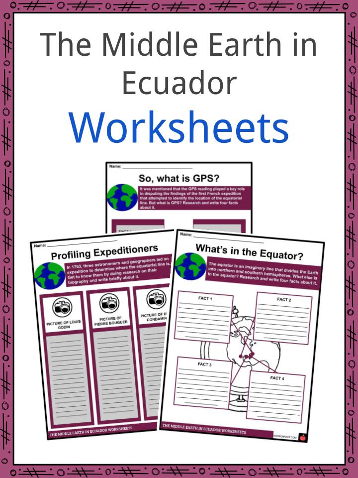
The Middle Earth in Ecuador Worksheets
This is a fantastic bundle which includes everything you need to know about the Middle Earth in Ecuador across 17 in-depth pages. These are ready-to-use The Middle Earth in Ecuador worksheets that are perfect for teaching students about the Middle of the World in Ecuador (Spanish: La Mitad del Mundo) which is a tract of land located in Pichincha, Ecuador. It has a Monument on the Equator depicting the location of the equator (0° 0’ 0” Latitude). It also commemorates the Geodesic Mission of the French Academy of Sciences during the 18th century that first determined the equatorial line. However, it was proven inaccurate later by GPS.
Complete List Of Included Worksheets
- The Middle Earth in Ecuador Facts
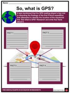
- So, what is GPS?
- Profiling Expeditioners
- What’s in the Equator?
- The French Geodesic Mission
- The Coriolis Effect at Work
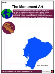
- The Monument Art
- What’s in the Museum?
- A Stamp for the Monument
- Inside Story
- The Middle Earth in 3-2-1
Link/cite this page
If you reference any of the content on this page on your own website, please use the code below to cite this page as the original source.
Link will appear as The Middle Earth in Ecuador Facts & Worksheets: https://kidskonnect.com - KidsKonnect, September 15, 2019
Use With Any Curriculum
These worksheets have been specifically designed for use with any international curriculum. You can use these worksheets as-is, or edit them using Google Slides to make them more specific to your own student ability levels and curriculum standards.