Premium
 Download
Edit
Download
Edit
Download the U.S. Route 66 Facts & Worksheets
Click the button below to get instant access to these worksheets for use in the classroom or at a home.
Download This Worksheet
This download is exclusively for KidsKonnect Premium members!
To download this worksheet, click the button below to signup (it only takes a minute) and you'll be brought right back to this page to start the download!
Sign Me Up
Edit This Worksheet
Editing resources is available exclusively for KidsKonnect Premium members.
To edit this worksheet, click the button below to signup (it only takes a minute) and you'll be brought right back to this page to start editing!
Sign Up
Not ready to purchase a subscription? Click to download the free sample version Download sample
Download This Sample
This sample is exclusively for KidsKonnect members!
To download this worksheet, click the button below to signup for free (it only takes a minute) and you'll be brought right back to this page to start the download!
Sign Me Up
Table of Contents
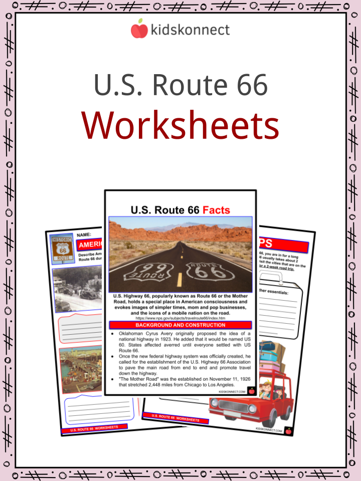
U.S. Highway 66, popularly known as Route 66 or the Mother Road, holds a special place in American consciousness and evokes images of simpler times, mom and pop businesses, and the icons of a mobile nation on the road.
See the fact file below for more information on U.S. Route 66 or alternatively, you can download our 23-page U.S. Route 66 worksheet pack to utilise within the classroom or home environment.
Key Facts & Information
Background and Construction
- Oklahoman Cyrus Avery originally proposed the idea of a national highway in 1923. He added that it would be named US 60. States affected averred until everyone settled with US Route 66.
- Once the new federal highway system was officially created, he called for the establishment of the U.S. Highway 66 Association to pave the main road from end to end and promote travel down the highway.
- “The Mother Road” was established on November 11, 1926, that stretched 2,448 miles from Chicago to Los Angeles.
- The highway building took years to finish completely. In fact, Route 66 became the first highway completely paved about 12 years after its establishment.
- But the later years of highway usage still faced problems. Works were done to realign road segments to remove dangerous curves.
- Despite the dangers, Route 66 became popular for leisure travel, immigration, and military routes during the Second World War.
- Major rerouting was also seen along the way to cater to major tourist and economic spots. It was also made to ease long travel hours to riders traveling from state to state and avoid major traffic congestion within large cities such as St. Louis, Springfield, and Joplin, Missouri; and Oklahoma City.
- In 1956, the Interstate Highway Act was signed by President Dwight Eisenhower. It was the start of the decline for Route 66. Many of its highways were upgraded into the interstate highway system in later years.
Decline of Route 44
- Beginning in the late 1950s, turnpikes were introduced that resulted in bypassing Route 66’s scenic drives.
- In other cases, the new Interstate not only paralleled the old Route 66, it actually incorporated much of it. Newer lanes were converted to the main traffic while Route 66 roads were converted into frontage roads.
- The I-40 (Interstate 40) became a more convenient drivers’ change by the 1970s as it provided smoother travel and easier access from town-to-town and town-to-city routes. Abandoned roads soon began to suffer because of less maintenance.
- While many states embraced the changes, some business and civic leaders in cities along US 66 were opposed to bypassing fearing loss of business and tax revenues.
- The US Highway 66 Association represented the people who had depended on their businesses on the highway stops. However, the government had begun decommissioning the highway.
- With the decommissioning of US 66 in 1984, no interstate route was designated to replace it.
- I-55 covered the section from Chicago to St. Louis; I-44 carried the traffic on to Oklahoma City; I-40 replaced Route 66 to Barstow, California; I-15 covered the route to San Bernardino; and I-10 carried Route 66’s traffic across the Los Angeles metro area to Santa Monica.
- Abandonment of the majority of the routes resulted to decay on most places after the decommissioning.
Revival
- In 1990, Route 66 associations were founded to revive the old glory of Route 66. The state of Missouri soon declared Route 66 a “State Historic Route”.
- The first “Historic Route 66” marker was erected on Kearney Street at Glenstone Avenue in Springfield, Missouri.
- Other groups along the old road were founded as well. Then portions of the road passing through Illinois, Missouri, New Mexico, and Arizona were designated as National Scenic Byway of the name “Historic Route 66.”
Route 66 Across Each State
- Route 66 is 2,448 miles (3,940 km) long. When broken down into the following sections:
- Illinois (301 miles / 484 km) – It was the first of the eight states through which Route 66 passed to have its segment.
- Missouri (317 miles / 510km) – Route 66 across Missouri was connected by roadways over rolling hills and valleys.
- Kansas (13 miles / 21km) – The route through Kansas was the shortest of all the states.
- Oklahoma (432 miles / 695km) – It is the nation’s longest driveable stretch of Route 66.
- Texas (186 miles / 299km)
- New Mexico (400 miles / 640km)
- Arizona (401 miles / 645km)
- California (314 miles / 505km) – Route 66’s unofficial “End of the Trail” sign was mounted on Santa Monica Pier in 2009.
Route 66 and Pop Culture
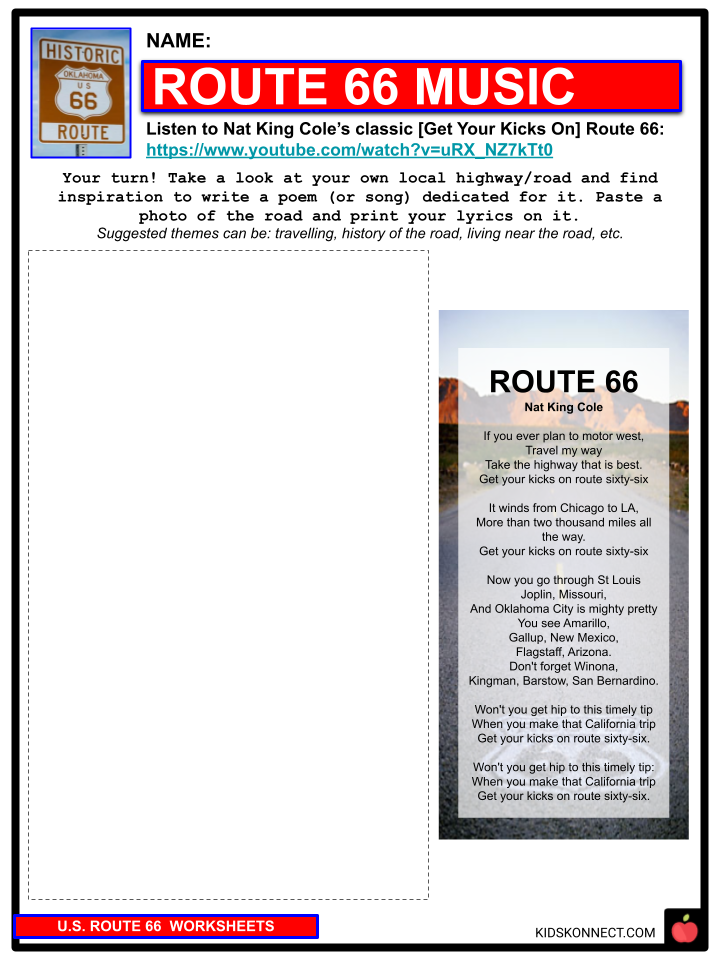
- Route 66 became a classic site and reference of American pop culture. One classic example is Nat King Cole’s “(Get Your Kicks On) Route 66” which made it one of the biggest hit singles of his career.
- The popular TV show Route 66 (1960-1964) and K-Marts line of jean brand Route 66 serve as a reminder of the old roads glorious past.
U.S. Route 66 Worksheets
This is a fantastic bundle that includes everything you need to know about U.S. Route 66 across 23 in-depth pages. These are ready-to-use worksheets that are perfect for teaching students about U.S. Route 66 which holds a special place in American consciousness and evokes images of simpler times

Complete List Of Included Worksheets
- U.S. Route 66 Facts
- The United States
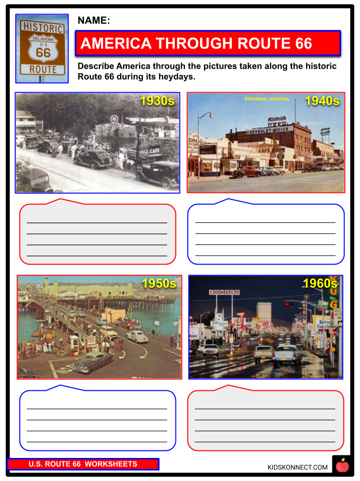
- America Through Route 66
- Eight States
- Route 66 Music
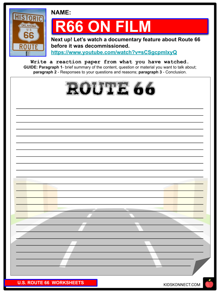
- R66 on Film
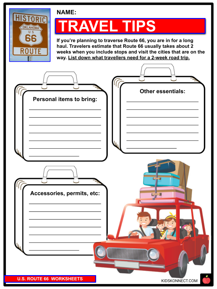
- Travel Tips
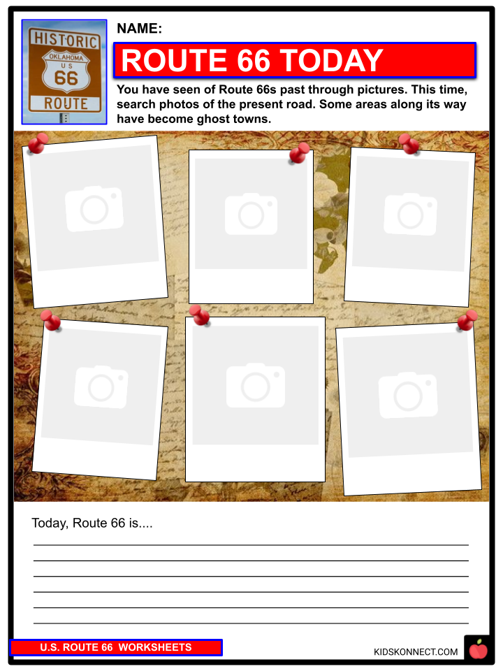
- Route 66 Today
- R66 Centennial
- Road Photography
- Flavors of the Mother Road
Link/cite this page
If you reference any of the content on this page on your own website, please use the code below to cite this page as the original source.
Link will appear as U.S. Route 66 Facts & Worksheets: https://kidskonnect.com - KidsKonnect, October 28, 2021
Use With Any Curriculum
These worksheets have been specifically designed for use with any international curriculum. You can use these worksheets as-is, or edit them using Google Slides to make them more specific to your own student ability levels and curriculum standards.