Premium
 Download
Edit
Download
Edit
Download the The State Of Delaware Facts & Worksheets
Click the button below to get instant access to these worksheets for use in the classroom or at a home.
Download This Worksheet
This download is exclusively for KidsKonnect Premium members!
To download this worksheet, click the button below to signup (it only takes a minute) and you'll be brought right back to this page to start the download!
Sign Me Up
Edit This Worksheet
Editing resources is available exclusively for KidsKonnect Premium members.
To edit this worksheet, click the button below to signup (it only takes a minute) and you'll be brought right back to this page to start editing!
Sign Up
Not ready to purchase a subscription? Click to download the free sample version Download sample
Download This Sample
This sample is exclusively for KidsKonnect members!
To download this worksheet, click the button below to signup for free (it only takes a minute) and you'll be brought right back to this page to start the download!
Sign Me Up
Table of Contents
Delaware is the second smallest state in the United States, with a land area of 1,948 sq. miles. It is also the least populated state in America.
See the fact file below for more information on The State of Delaware, or you can download our 29-page State of Delaware worksheet pack to utilize within the classroom or home environment.
Key Facts & Information
HISTORY OF DELAWARE
- Delaware has a proud and lengthy history. Spanish and Portuguese explorers first traveled along our coastline in the sixteenth century, followed by Samuel Argall in 1610, Cornelius May in 1613, and Cornelius Hendricksen in 1614.
- Henry Hudson traveled along our coast in 1609 while working for the Dutch.
- Before the Europeans arrived, Native American tribes, such as the Lenni Lenape, also known as Delaware, Susquehanna, Nanticoke, and others, lived in the area.
- The native inhabitants of Delaware traded with Dutch colonists for about fifty years after the Swedish colonists left.
- Swedish colonists founded the first European settlement in the Delaware Valley in 1638. The descendants of these early colonists built Old Swedes Church (also known as Holy Trinity Church) between 1698 and 1699, making it one of the country’s oldest standing places of worship.
- As the first state to ratify the U.S. Constitution on December 7, 1787, Delaware has been referred to as The First State.
- Since the turn of the 20th century, Delaware has also served as a de facto onshore corporate haven, where more than half of all NYSE-listed companies and more than three-fifths of the Fortune 500 have their headquarters.
GEOGRAPHY
- With a total area of 1,982 square miles and a length of 96 miles, Delaware is the second-smallest state in the union behind Rhode Island. Its widths range from 9 miles to 35 miles.
- Delaware’s northern border is bordered by the steep Piedmont region, which descends lower gradually into the state. The low Atlantic Coastal Plain, which encompasses three state forests such as Blackbird, Taber, and Redden, is what remains of Delaware.
- Although the majority of Delaware is drained by streams that flow eastward to the Delaware River, Delaware Bay, and the Atlantic Ocean, the Nanticoke River and tributaries in southwest Delaware flow into the Chesapeake Bay.
- The Cypress Swamp, also known as the “Burnt Swamp,” is drained by the Pocomoke River, and is located in the extreme southern part of Delaware, opposite the Maryland border.
- The weather in Delaware is generally pleasant. The range of the monthly average temperature is 75.8°F to 32.0°F. The summertime average temperature is 74.3°F.
- The number of sunny days is about 57%. The amount of precipitation per year is about 45 inches.
- Along the Atlantic Coast, wintertime temperatures are about 10 degrees warmer than summertime temperatures. The typical growth season lasts between 170 and 200 days.
DEMOGRAPHICS
- With a population of 945,934 according to a 2015 estimate, Delaware would rank as the 45th largest state in terms of population in the USA.
- The population of Delaware was estimated by the United States Census Bureau to be 989,948 as of April 1, 2020, an increase from the year 2000’s figure of 783,600.
- Based on growth rates from the previous year, Delaware is growing at a rate of 1.05%, making it the 14th fastest-growing state.
- According to populationU.com, Delaware’s population in 2022 is estimated to be 1.01 million residents. It increased by .92% from the previous year’s 1.003 million.
- The population is distributed in three counties: New Castle Country, Kent County, and Sussex County, which is further divided into 57 incorporated municipalities.
- According to recent demographic stats, Delaware is composed of White Americans, Black Americans, the Asian population, and the Hispanic population, respectively.
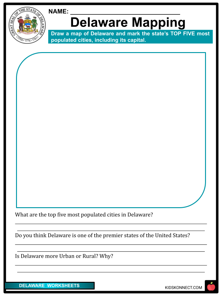
- The most populated city in Delaware is Wilmington, with 70,000+ residents, followed by Dover, Newark, Middletown, and Bear, with almost half of that.
- The median age in Delaware is 39.6 years, while the gender distribution is 51.6% female and 48.4% male.
- In terms of religion, Delaware’s population is 69% Christian, 6% non-Christian faiths, and 23% unaffiliated.
ECONOMY
- The state’s economy is varied, having strengths in commerce, industry, and agriculture. The state’s top agricultural export is poultry. The two main auxiliary crops are corn (maize) and soybeans.
- The home offices and research and development facilities of several significant chemical companies, including DuPont, Hercules, and pharmaceutical giant AstraZeneca, are located in northern Delaware.
- Delaware is commonly referred to as the Chemical Capital of the World because its economy is primarily dependent on the production of chemicals, particularly those used to make plastics, medicines, and industrial chemicals.
- One of the leading chemical manufacturing businesses in the world, DuPont, is headquartered in Delaware and conducts business there.
- Finance and insurance, however, are the state’s main economic drivers, and they draw top businesses with their pro-business policies, which include low tax incentives and supportive legislation for enterprises.
EDUCATION
- In contrast to many other states, Delaware’s educational system is controlled by a state superintendent of education; however, local school boards continue to have some discretion over local taxes and curriculum choices.
- After a three-year, $30 million effort that ended in 1999, Delaware became the first state to wire every K–12 school in the state to the Internet, probably in part due to this centralized system and the state’s modest size.
- As of 2011, 25 charter schools, including one that was exclusively for females, had been given state approval to open.
- According to usnews.com, out of 50 states, Delaware is ranked 20th in higher education and 22nd in pre to K-12 education. Its overall performance places itself on 24th. The state with the best overall education rank is New Jersey.
CULTURE
- Since the first Europeans arrived on its beaches in the 1600s, Delaware has been at the vanguard of American civilization.
- Despite the small size of their state, the people who live there are proud of their place in the nation’s history and their contribution to molding it.
- The colonial influence of Delaware is apparent in coastal communities like Lewes and New Castle, which still look largely the same after 300 years.
- Another example of Delaware’s influence can be found in the Brandywine Valley. Some of the most magnificent residences and gardens in America can be found in the former home of DuPont.
- Despite their obvious affluence, the communities in this picturesque river valley are as relaxed and welcoming as any other area in the nation. In fact, wherever they go in Delaware, visitors can count on seeing lots of smiles and positive attitudes.
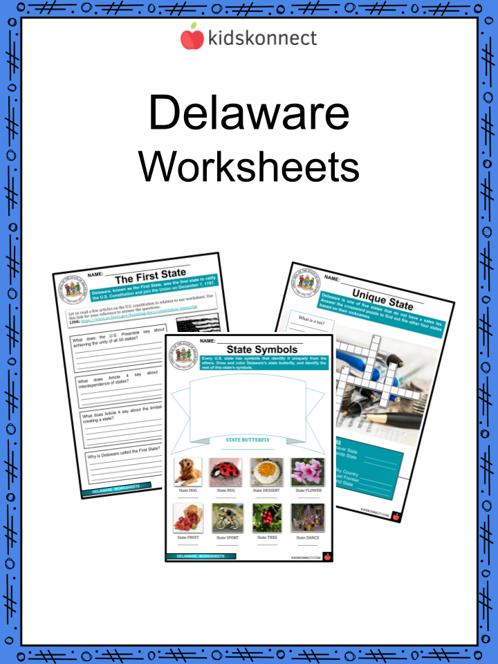
The State Of Delaware Worksheets
This fantastic bundle includes everything you need to know about The State of Delaware across 28 in-depth pages. These ready-to-use worksheets are perfect for teaching about The State of Delaware, the second smallest state in the United States, with a land area of 1,948 sq. miles. It is also the least populated state in America.


Complete List of Included Worksheets
Below is a list of all the worksheets included in this document.
- Delaware Facts
- Delaware Summarized
- Delaware Mapping
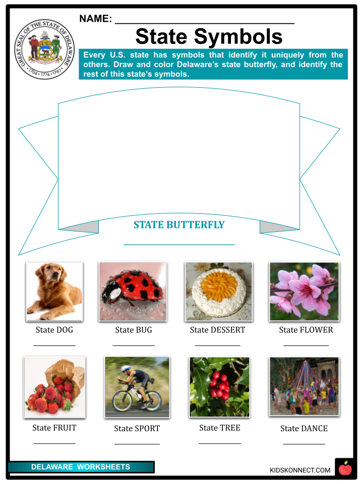
- State Symbols
- Famous Citizens
- The First State
- The Chemical Capital
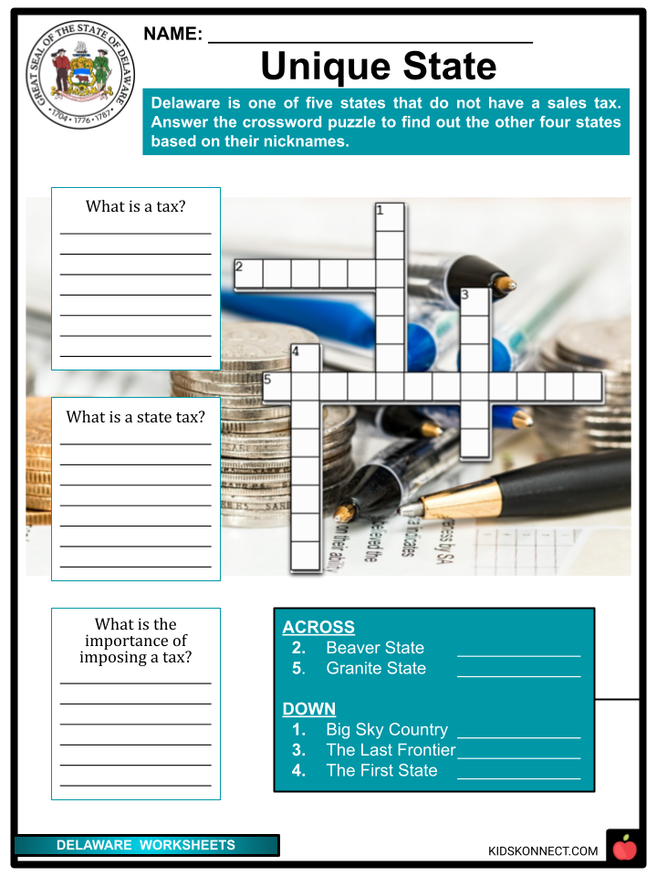
- Unique State
- Delaware Song
- A Place to Stay
- Flavors of Delaware
Frequently Asked Questions
Where is Delaware located?
Delaware is located in the Mid-Atlantic region of the United States. It is bordered by Pennsylvania to the north, New Jersey to the east and south, and Maryland to the west. Delaware is known for its relatively small size; it’s the second smallest state in terms of land area.
What is the capital city of Delaware?
The capital city of Delaware is Dover. Dover is not only the capital but also the second-largest city in the state. It has a rich history and is known for its historic sites, including the Delaware State Capitol and Legislative Hall.
What is Delaware known for economically?
Delaware has a diverse economy with strengths in several sectors. It is renowned for being a business-friendly state with lenient corporate laws, which has led to many companies incorporating there. The state also has a strong presence in the financial services industry, and its beaches and coastal areas contribute to a thriving tourism sector.
What historical significance does Delaware hold?
Delaware holds a unique place in American history. It was the first state to ratify the United States Constitution in 1787, earning it the nickname “The First State.” Additionally, it played a pivotal role in the early days of the nation, being the site of the Battle of the Brandywine during the Revolutionary War.
What are some popular attractions in Delaware?
Delaware offers a variety of attractions for visitors. The city of Wilmington is home to the Delaware Art Museum and the Hagley Museum and Library, which preserves the history of the DuPont family and their industrial legacy. The state’s numerous beaches, such as Rehoboth Beach and Bethany Beach, are also major draws for tourists, offering relaxation and recreational activities.
Link/cite this page
If you reference any of the content on this page on your own website, please use the code below to cite this page as the original source.
Link will appear as The State Of Delaware Facts & Worksheets: https://kidskonnect.com - KidsKonnect, February 10, 2017
Use With Any Curriculum
These worksheets have been specifically designed for use with any international curriculum. You can use these worksheets as-is, or edit them using Google Slides to make them more specific to your own student ability levels and curriculum standards.