Premium  Download Edit
Download the Mayon Volcano Facts & Worksheets
Click the button below to get instant access to these worksheets for use in the classroom or at a home.
Download This Worksheet
This download is exclusively for KidsKonnect Premium members!
To download this worksheet, click the button below to signup (it only takes a minute) and you'll be brought right back to this page to start the download!
Sign Me Up
Edit This Worksheet
Editing resources is available exclusively for KidsKonnect Premium members.
To edit this worksheet, click the button below to signup (it only takes a minute) and you'll be brought right back to this page to start editing!
Sign Up
Not ready to purchase a subscription? Click to download the free sample version Download sample
Download This Sample
This sample is exclusively for KidsKonnect members!
To download this worksheet, click the button below to signup for free (it only takes a minute) and you'll be brought right back to this page to start the download!
Sign Me Up
Table of Contents
Mount Mayon is an active stratovolcano notable for its nearly flawless cone shape, which was created by pyroclastic and lava flow. Local folklore claims that Daragang Magayon, also known as a Beautiful Lady in English, was a famous heroine whose kindness and beauty were well-known.
See the fact file below for more information on Mayon Volcano, or you can download our 27-page Mayon Volcano worksheet pack to utilise within the classroom or home environment.
Key Facts & Information
MAYON VOLCANO ORIGINS
- One of the Philippines’ active volcanoes is the Mayon Volcano. Mount Mayon is the primary landmark of the Province of Albay in the Bicol Region of the Philippines, which is situated in the southern part of Luzon.
- The volcano was named Daragang Magayon (Beautiful Lady in English) per local folklore. Daragang Magayon is a legendary heroine whose goodness and beauty are well-known.
- Over the previous 400 years, Mount Mayon has erupted at least 49 times; the deadliest eruption was in February 1814. Over 1,200 individuals were killed in the 1814 eruption. According to legend, Mayon’s first recorded eruption began on February 19th and ended on February 23rd.
- This eruption featured pyroclastic, mud, and lava flow and an explosive core vent eruption. The most recent eruption occurred from September 15th, 2009, until January 1st, 2010. This eruption featured lava flows, pyroclastic flows, and explosive central vent activity, wherein evacuation became necessary due to that eruption.
LOCATION
- Mount Mayon is situated in Legazpi, Province of Albay, Philippines. The Ring Of Fire includes Mayon as well. It is the most active volcano in the Philippines, having violently erupted at least 49 times.
- Additionally, Mount Mayon’s regular activity motivates researchers to investigate it. On the eastern part of the island of Luzon, Mayon rises 808 feet above sea level, or roughly 1.5 miles.
- With a height of 8,077 feet or 2,462 meters, it is the highest point of the province that can be seen in all eight cities and municipalities of Albay.
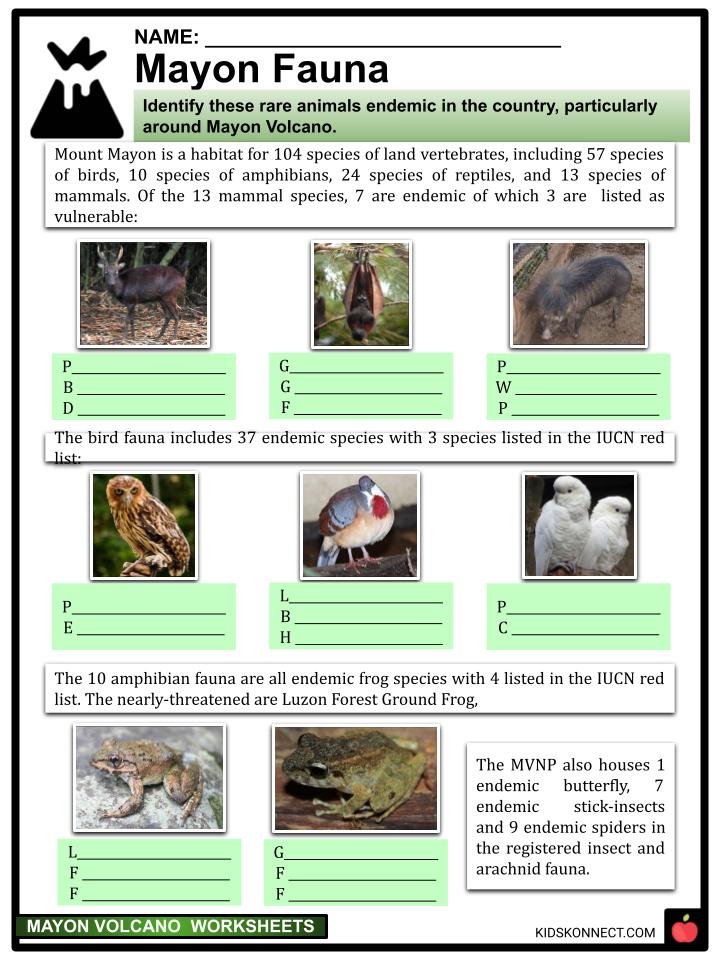
FLORA AND FAUNA
- Mount Mayon, a volcano with the most beautiful cone and a breathtaking height, was declared the first national park of the Philippines on July 20th, 1938, and was reclassified a Natural Park named Mayon Volcano Natural Park in 2000.
- The forest park supports a wide variety of plants and animals. Many unusual plants, including tree ferns and pitcher plants, can be found in the mossy woodland.
- Additionally, 156 plant species are dipterocarp species.
- The national park is also home to 57 species of birds, including fruit doves and several natives to the Philippines, including the Philippine scops owl, Philippine horned owl, Philippine hanging parakeet, and Philippine red jungle fowl.
- Herpetofauna and animal species are also present in the region. The park is fantastic for photography, bird watching, and mountain climbing.
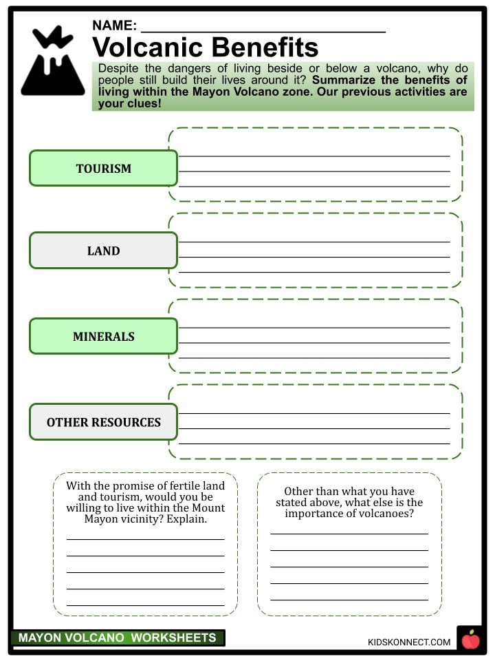
TOURISM
- Mayon Volcano was considered by pre-Hispanic Bicolanos to be the home of their ancestors because of its height, unique shape, and strikingly symmetrical features. As a result, entering its boundaries was taboo, including taking from its natural resources and even scaling its peak.
- In addition, it was revered as the sacred mountain of the gods Mayong and Gugurang, the two most important deities in Bicolano animist beliefs.
- Because of its perfect cone shape, Mount Mayon is the most famous of all the volcanoes in the Philippines. Due to its breathtaking views, participating in Mayon Volcano excursions, such as the Mayon ATV activity, has become a must-do activity for tourists visiting the area.
- In addition to climbing, visitors may go on a nature hike and take in all the magnificent wildlife, like parakeets, red jungle fowl, owls, and fruit doves, to mention a few. Numerous other activities, like hiking, camping, climbing, bird viewing, and photography, are also possible.
- March through May are the ideal times to visit the volcano. Avoid going to the volcano between November and January since it is riskier.
MAJOR VOLCANIC EVENTS
- Destructive eruptions have a lengthy history at the Mayon Volcano. The first significant eruption to be noted occurred in February 1616.
- Cagsawa Church was devastated by the eruption of 1814; presently, all that remains is the bell tower.
- To find safety, the Cagsawa Church congregation relocated to Daraga Church, perched on a hill overlooking the Mayon Volcano.
- Two thousand two hundred people died in this most deadly eruption recorded in history, and the town of Cagsawa was buried under 30 feet or 9 meters of ash.
- The longest eruption lasted seven days and occurred on June 23rd, 1897. Around the volcano, rivers, streams, and trees were all destroyed by the lava flow and fire that fell from the Mayon slopes.
- On September 10th, 1984, a volcanic eruption started, spilling lava over the crater wall. As burning blocks rolled 600 meters down the northwest edge, trees were cut down.
- On September 12th, eruptions changed from pyroclastic to Vulcanian in nature, with ash emissions reaching a height of 15 km and pyroclastic flows extending several kilometers from the summit.
- On January 13th, 2018, a phreatic eruption of Mount Mayon signaled the start of its most recent outburst. On January 14th, 2018, the alert was upgraded to level 3.
- From January 15th to 16th, a large lava dome was seen at the peak, as well as a little lava fountain.
- A phreatomagmatic eruption on January 22nd generated a 5-km-high ash plume. Lava fountains up to 700 meters high appeared at the top on January 22nd and 23rd.
- Pyroclastic flows were placed on January 29th. Lava flowed on the volcano’s slope, and modest lava fountaining happened during the first week of February.
- White gas and steam plumes reached a height of 800 meters on May 17th, 2019, and were observed until October. PHIVOLCS reported that nighttime observations of faint summit incandescence were frequent from May to July. Sentinel-2 thermal satellite imaging revealed lesser thermal anomalies from September to October, with the last one being discovered on October 12th.
MAYON VOLCANO TODAY
- Mayon has discharged 391 tons of sulfur dioxide since October 1st, 2022, and its structure has minor inflation.
- According to the Philippine Institute of Volcanology and Seismology (PHIVOLCS), a faint crater glow has been seen at the Mayon Volcano’s peak.
- In the previous 24-hour observation period, one volcanic earthquake, according to PHIVOLCS, was produced. Additionally, plumes could be seen traveling west and west-northwest.
- Due to “growing unrest,” as mentioned, state volcanologists upgraded the Mayon Volcano in Albay to Alert Level 2 on October 7th.
- Today, seven seismometers spread out around the volcano are communicated with by three telemetric units on Mayon’s slopes.
- On the University of the Philippines Diliman campus, this equipment transmits data to the Ligon Hill observatory and the PHIVOLCS central office.
- PHIVOLCS also uses electronic distance meters (EDMs), exact leveling benchmarks, and even portable fly spectrometers to track the volcano’s daily activity.
Mayon Volcano Worksheets
This is a fantastic bundle that includes everything you need to know about Mayon Volcano across 27 in-depth pages. These ready-to-use worksheets are perfect for teaching students about Mayon Volcano, located on the island of Luzon in the Philippines and considered one of the most active and dangerous stratovolcanoes in the country due to its frequent and explosive eruptions.


Complete List Of Included Worksheets
- Mayon Volcano Facts
- Land of Mayon
- The Legend of Mayon
- Talk Like Pinoy!
- Mayon Flora
- Mayon Fauna
- Promoting Tourism
- Volcanic Benefits
- A National Park
- Kinds of Volcanoes
- Our Volcano
Frequently Asked Questions
What makes Mayon Volcano unique?
Mayon Volcano is renowned for its nearly perfect cone shape and has become an iconic landmark in the Philippines. The volcano’s shape results from its symmetrical and steep-sided cone, formed by the alternating layers of ash, lava, and other volcanic materials erupted by the volcano over thousands of years.
How often does Mayon Volcano erupt?
Mayon Volcano has erupted more than 50 times in the past 500 years, making it one of the most active volcanoes in the Philippines. Its eruptions range from mild steam-driven explosions to more violent explosions that can generate pyroclastic flows and lahars. The frequency of Mayon’s eruptions has varied over time, but on average, the volcano experiences a significant eruption every decade.
Is Mayon Volcano dangerous?
Mayon Volcano is considered one of the most dangerous volcanoes in the Philippines due to its tendency to erupt frequently and explosively. When the volcano erupts, it can produce deadly pyroclastic flows, lahars, and ashfall that devastate nearby towns and cities. The most destructive eruption of Mayon Volcano occurred in 1814 when more than 1,200 people were killed.
Is it possible to climb Mayon Volcano?
Climbing Mayon Volcano is possible, but it is not recommended for inexperienced climbers or during periods of increased volcanic activity. The volcano has several established hiking trails that lead to the summit, but climbers must obtain a permit from the local authorities before attempting to climb. It is important to note that the trail to the summit can be challenging and dangerous, and climbers must exercise caution and follow safety guidelines.
How is Mayon Volcano monitored?
Mayon Volcano is closely monitored by the Philippine Institute of Volcanology and Seismology (PHIVOLCS) to detect signs of volcanic unrest and to issue warnings to the public in the event of an impending eruption. PHIVOLCS uses various monitoring techniques, including seismic monitoring, gas measurements, and visual observations, to assess the volcano’s activity and provide early warning to at-risk communities. When the volcano shows signs of increased activity, PHIVOLCS may recommend evacuating nearby communities as a precaution.
Link/cite this page
If you reference any of the content on this page on your own website, please use the code below to cite this page as the original source.
Link will appear as Mayon Volcano Facts & Worksheets: https://kidskonnect.com - KidsKonnect, February 22, 2023
Use With Any Curriculum
These worksheets have been specifically designed for use with any international curriculum. You can use these worksheets as-is, or edit them using Google Slides to make them more specific to your own student ability levels and curriculum standards.


