Premium  Download Edit
Download the Great Salt Lake Facts & Worksheets
Click the button below to get instant access to these worksheets for use in the classroom or at a home.
Download This Worksheet
This download is exclusively for KidsKonnect Premium members!
To download this worksheet, click the button below to signup (it only takes a minute) and you'll be brought right back to this page to start the download!
Sign Me Up
Edit This Worksheet
Editing resources is available exclusively for KidsKonnect Premium members.
To edit this worksheet, click the button below to signup (it only takes a minute) and you'll be brought right back to this page to start editing!
Sign Up
Not ready to purchase a subscription? Click to download the free sample version Download sample
Download This Sample
This sample is exclusively for KidsKonnect members!
To download this worksheet, click the button below to signup for free (it only takes a minute) and you'll be brought right back to this page to start the download!
Sign Me Up
Table of Contents
Great Salt Lake, a lake in northern Utah, United States, is the most enormous inland body of saltwater in the Western Hemisphere as well as one of the world’s most saline bodies of water. The Bear, Weber, and Jordan Rivers feed the lake, which has no outlet.
See the fact file below for more information on the Great Salt Lake, or you can download our 28-page Great Salt Lake worksheet pack to utilize within the classroom or home environment.
Key Facts & Information
HISTORICAL BACKGROUND
- The Great Salt Lake is the largest of the prehistoric freshwater Lake Bonneville Lake remnants, with the others being Bear Lake on the Utah-Idaho border and Utah Lake west of Provo, Utah. Lake Bonneville, which formed late in the Pleistocene Epoch around 30,000 years ago, at its peak encompassed nearly 20,000 square miles of present-day western Utah that stretched into contemporary Nevada and Idaho.
- During subsequent glacial periods, massive amounts of freshwater reached this intermontane basin and eventually drained into the Columbia River and the Pacific Ocean via the Snake River.
- However, water levels fell during the interglacial and postglacial periods, and the outflows were cut off. As a result, water could only depart by evaporation, while mineral salts from inflowing streams kept accumulating in the lake.
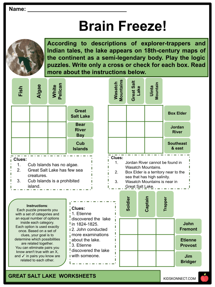
- According to descriptions of explorer-trappers and Indian tales, the lake appears on 18th-century maps of the continent as a semi-legendary body named Timpanogos or Buenaventura, subject to the source.
- The first entirely credited white explorers were trappers Étienne Provost and Jim Bridger, who discovered the lake independently in 1824-25. Captain John C. Frémont conducted more thorough examinations in 1843 and 1845. The Mormons‘ establishment of their “promised land” on the adjacent site of Salt Lake City in 1847 brought the region farther into the national consciousness.
- The lake was surveyed in 1850, and at the lake’s northern shore, the last spike of America’s first transcontinental railroad was driven in 1869.
- Furthermore, the United States is conducting research in the Great Basin region. The Geological Survey was a significant source of knowledge about the lake in 1890, and subsequent studies were led by that body.
GEOGRAPHY
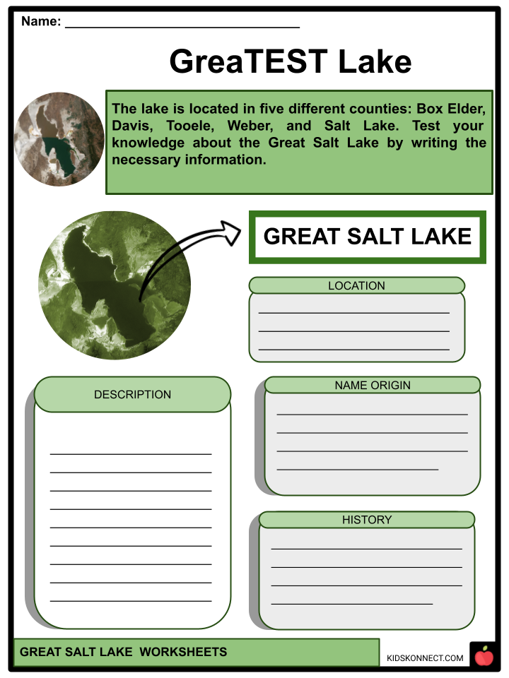
- The lake is located in five different counties: Box Elder, Davis, Tooele, Weber, and Salt Lake. Salt Lake City and its suburbs are positioned among the lake and the Wasatch Mountains to the southeast and east of the lake.
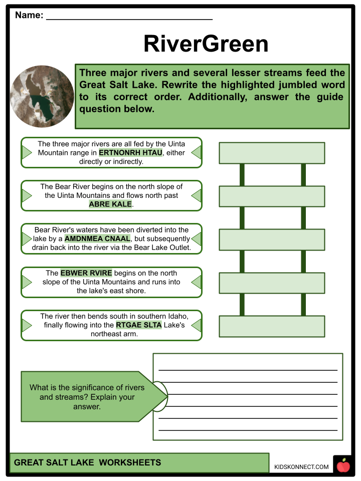
- Three major rivers and several lesser streams feed the Great Salt Lake. The three major rivers are all provided by the range in northern Utah, either directly or indirectly. The Bear River begins on the north slope of the Uinta Mountains and flows north past Bear Lake, where some of the Bear River’s waters have been diverted into the lake by a manufactured canal but subsequently drain back into the river via the Bear Lake Outlet.
- The river then bends south in southern Idaho, finally flowing into the Great Salt Lake’s northeast arm. The Weber River begins on the north slope of the Uinta Mountains and runs into the lake’s east shore.
- Due to the shallow lake, the water level can fluctuate considerably during dry or wet years, reflecting protracted drought or wet periods. The Pacific Ocean’s atmospheric circulations significantly regulate the change in lake level.
HYDROGRAPHY
- The lake water is extremely dense due to its high salt concentration, and most individuals may float more readily compared to other bodies of water, especially in Gunnison Bay, the lake’s saltier north arm.
- Since 1875, water levels have been measured and averaged around 4,200 feet (1,300 m) above sea level. Because the Great Salt Lake is a shallow lake with gently sloping coasts on all sides except the south, tiny differences in water level significantly impact the extent of the shoreline.
- Water levels can increase substantially during wet years and lower dramatically during dry years. The volume of water flow moved for agricultural and urban usage also has an effect on the water level.
- On the other hand, the salinity of the lake’s major basin, Gilbert Bay, varies greatly depending on the lake level, ranging from 5 to 27% (50 to 270 parts per thousand).
- The ionic composition is very similar to the seawater. The Great Salt Lake’s waters are enriched in potassium and low in calcium. Dissolved ions do not always grow or decrease in proportion to changes in total dissolved solids.
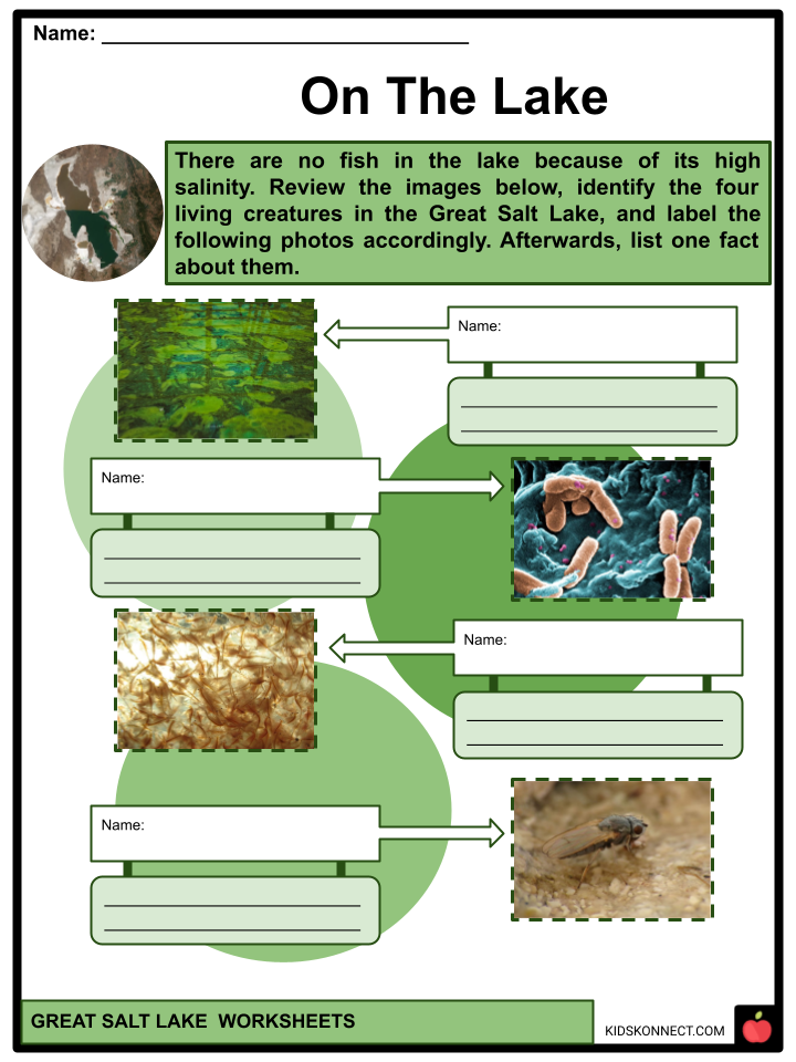
ECOSYSTEM
- The lake’s high salinity renders it inhospitable for all but a few species, namely brine shrimp, brine flies, and numerous types of algae. The brine flies have an estimated number of over 100 billion and are the primary food supply for many birds that come to the lake.
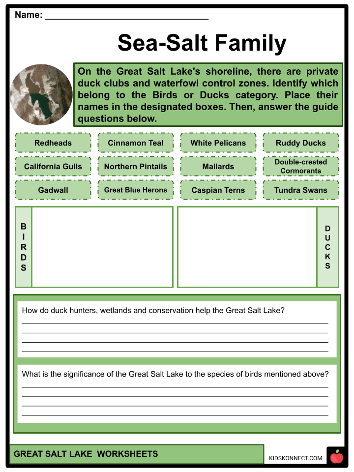
- On the Great Salt Lake’s shoreline are also twenty-seven private duck clubs, seven state waterfowl control zones, and a major federal bird refuge. The Bear River Migratory Bird Refuge, Gillmor Sanctuary, Great Salt Lake Shorelands Preserve, Salt Creek, Public Shooting Grounds, Harold Crane, Locomotive Springs, Ogden Bay, Timpie Springs, and Farmington Bay Waterfowl Management Areas are among the wetland/wildlife management areas.
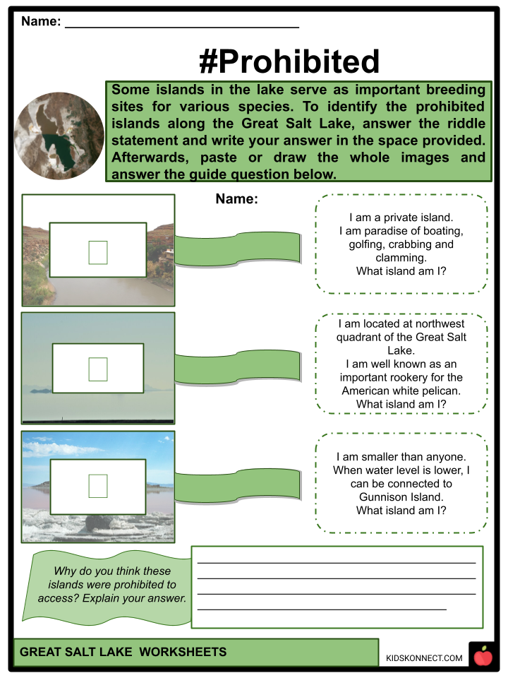
- Some islands in the lake serve as important breeding sites for various species. The State of Utah has strictly prohibited access to Hat, Gunnison, and Cub islands to safeguard nesting colonies of American white pelicans.
- Due to its severe salinity, the Great Salt Lake has few fish, but they do occur in Bear River Bay and Farmington Bay when spring runoff pours fresh water into the lake. However, a few aquatic organisms live in the lake’s main basin.
RECREATION AND ARTS AND CULTURE
- The lake is one of Utah’s most popular tourist destinations. Antelope Island State Park is a famous tourist site with panoramic lake views, hiking and bike paths, wildlife viewing, and beach access.
- Spiral Jetty– Spiral Jetty (1970), by Robert Smithson, is located in the northwest arm of the lake, near Rozel Point, and is only observable when the level of Great Salt Lake falls below 4,197.8 feet above sea level.
- Oolitic Sand– The lake and its shoreline include oolitic sand, which consists of small, rounded, or spherical sand grains composed of a nucleus and concentric layers of calcium carbonate (lime) and resembles tiny pearls.
- Whales in the Great Salt Lake– According to local folklore, in 1875, entrepreneur James Wickham released two whales into the Great Salt Lake, intending to employ them as a tourist attraction.
- Lake Monster– In the middle of 1877, J. H. McNeil worked for Barnes and Co. Numerous employees at Salt Works on the lake’s north bank in the evening claimed to have seen a monster in the lake with the body of a crocodile and a head of a horse.
Great Salt Lake Worksheets
This fantastic bundle includes everything you need to know about the Great Salt Lake across 28 in-depth pages. These ready-to-use worksheets are perfect for teaching kids about the Great Salt Lake, a lake in northern Utah, United States, which is the most enormous inland body of saltwater in the Western Hemisphere as well as one of the world’s most saline bodies of water.
Complete List of Included Worksheets
Below is a list of all the worksheets included in this document.
- Great Salt Lake Facts
- RiverGreen
- #Prohibited
- Sea-Salt Family
- Brain Freeze!
- Can You Guess it?
- On The Lake
- GreaTEST Lake
- I Lake The Sketch
- Whales of Great Salt Lake
- #Under_Review
Frequently Asked Questions
Where is the Great Salt Lake located?
The Great Salt Lake is located in the northern part of the U.S. state of Utah. It is situated to the northwest of the capital city, Salt Lake City.
How big is the Great Salt Lake?
The size of the Great Salt Lake varies depending on the water levels, but on average, it covers an area of approximately 1,700 square miles (4,400 square kilometers). It is the largest saltwater lake in the Western Hemisphere.
Why is the Great Salt Lake so salty?
The Great Salt Lake is highly saline due to its unique geological and climatic conditions. It has no outlet, so the water accumulates minerals and salts from surrounding tributaries but has no way to drain them. As water evaporates, the concentration of salts increases, resulting in the lake’s high salinity.
What wildlife can be found in the Great Salt Lake?
The Great Salt Lake is home to a variety of wildlife, including brine shrimp, brine flies, waterfowl, shorebirds, and migratory birds. The lake serves as an essential habitat and a crucial resting and feeding stop for numerous bird species during their migration.
Can you swim in the Great Salt Lake?
Yes, swimming is possible in the Great Salt Lake, but it’s important to note that the high salt content makes the water denser, which can make floating much easier. The lake’s water can also cause skin irritation due to the salt concentration. It is advisable to rinse off with freshwater after swimming in the lake to remove the salt from your skin.
Link/cite this page
If you reference any of the content on this page on your own website, please use the code below to cite this page as the original source.
Link will appear as Great Salt Lake Facts & Worksheets: https://kidskonnect.com - KidsKonnect, June 28, 2023
Use With Any Curriculum
These worksheets have been specifically designed for use with any international curriculum. You can use these worksheets as-is, or edit them using Google Slides to make them more specific to your own student ability levels and curriculum standards.


