Premium  Download Edit
Download the Bering Sea Facts & Worksheets
Click the button below to get instant access to these worksheets for use in the classroom or at a home.
Download This Worksheet
This download is exclusively for KidsKonnect Premium members!
To download this worksheet, click the button below to signup (it only takes a minute) and you'll be brought right back to this page to start the download!
Sign Me Up
Edit This Worksheet
Editing resources is available exclusively for KidsKonnect Premium members.
To edit this worksheet, click the button below to signup (it only takes a minute) and you'll be brought right back to this page to start editing!
Sign Up
Not ready to purchase a subscription? Click to download the free sample version Download sample
Download This Sample
This sample is exclusively for KidsKonnect members!
To download this worksheet, click the button below to signup for free (it only takes a minute) and you'll be brought right back to this page to start the download!
Sign Me Up
Table of Contents
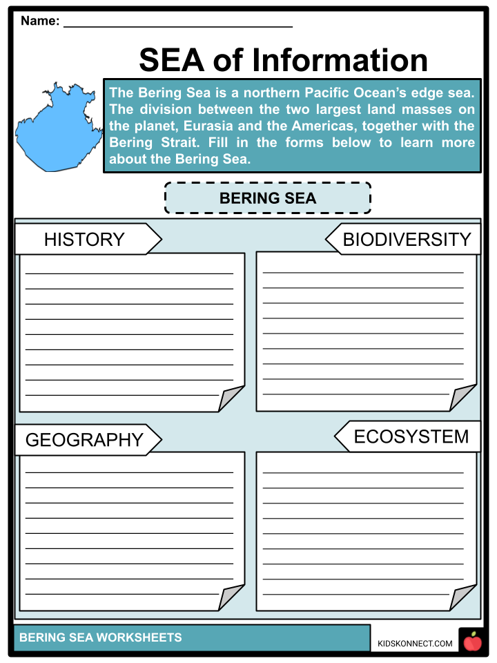
The Bering Sea is a northern Pacific Ocean edge sea. The division between the two largest landmasses on the planet, Eurasia and the Americas, together with the Bering Strait. It is made up of a deep water basin that rises up a narrow slope into shallower water over the continental shelves.
See the fact file below for more information on the Bering Sea or you can download our 34-page Bering Sea worksheet pack to utilize within the classroom or home environment.
Key Facts & Information
HISTORY
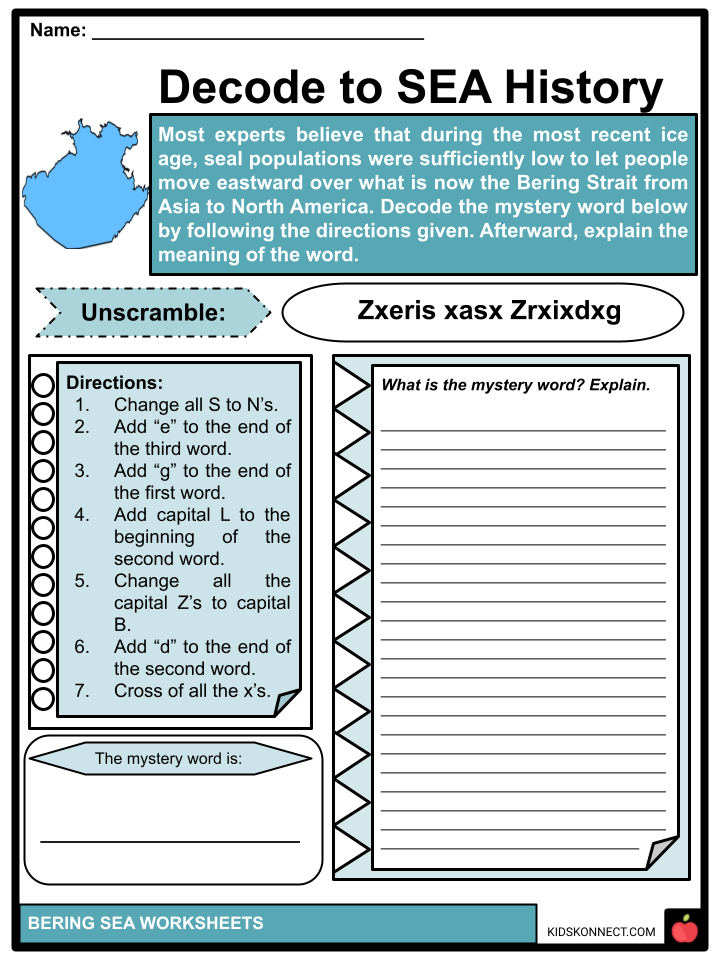
- Most experts believe that during the most recent ice age, seal populations were sufficiently low to let people move eastward over what is now the Bering Strait from Asia to North America.
- Megafauna and other creatures also moved in both directions. Although not all experts agree, this is popularly known as the “Bering land bridge” and is acknowledged as the earliest location of human contact with the Americas.
- The Bering Sea contains a minor section of the Kula Plate. An old tectonic plate called the Kula Plate was formerly subducted beneath Alaska.
- A massive meteor explosion occurred on December 18, 2018, over the Bering Sea. At a height of 25.6 kilometers, the meteor burst, generating 49 kilotons of energy.
GEOGRAPHICAL EXTENT
- According to the International Hydrographic Organization, the Bering Sea’s boundaries are as follows: toward the north – the Chukchi Sea’s southernmost point [the Arctic Circle separating Siberia and Alaska].
- In the southern region, a line drawn from Kabuch Point on the Alaskan Peninsula (54° 48’N, 163° 21’W), through the Aleutian Islands, to the southernmost points of the Komandorski Islands, and then on to Cape Kamchatka, such that the whole strait between Alaska and Kamchatka is included in the Bering Sea.
ECOSYSTEM
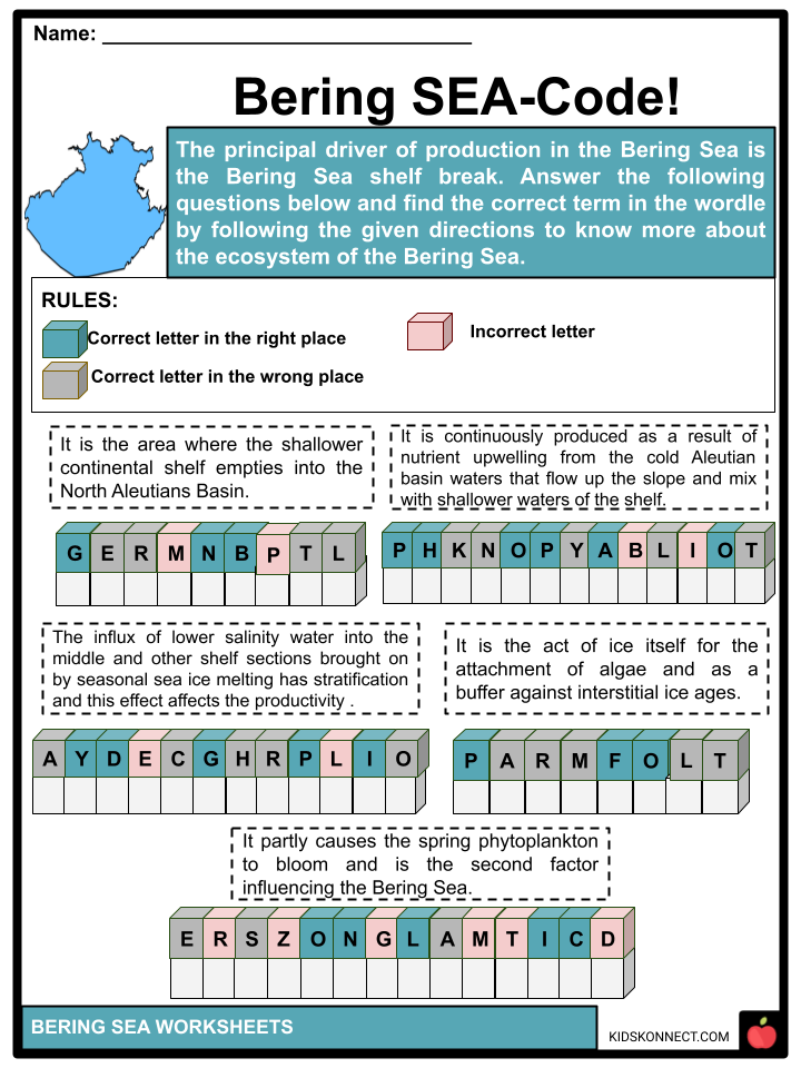
- The principal driver of production in the Bering Sea is the Bering Sea shelf break. The “Greenbelt” is the area where the shallower continental shelf empties into the North Aleutians Basin.
- Phytoplankton is continuously produced due to nutrient upwelling from the cold Aleutian basin waters that flow up the slope and mix with shallower waters of the shelf.
- Seasonal sea ice, which partly causes the spring phytoplankton bloom, is the second factor influencing the Bering Sea.
- The influx of lower salinity water into the middle and other shelf sections brought on by seasonal sea ice melting has a stratification and hydrographic effect that affects productivity.
- Along with the hydrographic and productive effects of melting sea ice, the ice itself acts as a platform for the attachment of algae and as a buffer against interstitial ice ages.
- Over the past 50 years, there has been a 30–40% drop in the average seasonal primary production, according to trends in carbon isotope ratios in whale baleen samples.
BIODIVERSITY
- Numerous whale species, including the beluga, humpback, bowhead, gray, and blue whales, as well as the sperm whale, endangered fin whale, sei whale, and the North Pacific right whale, which is the rarest whale in the world, are found in these waters.
- Walruses, Steller sea lions, northern fur seals, orcas, and polar bears are examples of other marine animals.
- Human overexploitation has resulted in the extinction of two Bering Sea species: the Steller’s sea cow (Hydrodamalis gigas) and the spectacled cormorant (Phalacrocorax perspicillatus).
- In addition, overhunting and the introduction of rats to their nesting islands led to the extinction of the Bering Canada Goose, a small subspecies of the Canada Goose.
- There are several fish species in the Bering Sea, some of which are the basis of substantial and lucrative commercial fisheries. Pacific cod, several flatfish species, sablefish, Pacific salmon, and Pacific herring are examples of fish used in commerce. Red king crab and snow crab are examples of shellfish.
FISHERIES
- The Bristol Bay salmon, pollock, and other groundfish are among the rich and lucrative fisheries that are famously found in the Bering Sea. These fisheries rely on the Bering Sea’s production through a convoluted and poorly understood food chain.
- The greatest seafood corporations in the world rely on commercial fishing in the Bering Sea to supply them with fish and shellfish. Commercial fishing is a lucrative industry there.
- The Alaskan king crab and snow crab seasons, which are featured in the Discovery Channel television series Deadliest Catch, are similarly centered on the Bering Sea. Half of the fish and shellfish caught in the United States come from the waters of Alaska.
PHYSIOGRAPHY
- A relatively shallow region along the continental and insular shelves in the north and east and a significantly deeper region in the southwest comprise the two equal sections of the Bering Sea.
- The shelf is a vast undersea plain with depths typically less than 500 feet. The southwest corner of the sea is plain as well, with three distinct basins—the larger Aleutian Basin to the north and east, the Bowers Basin to the south, and the Komandor Basin to the west—divided by distinct ridges at depths of 12,000 to 13,000 feet. The Bowers Basin has the sea’s deepest point, which is 13,442 feet (4,097 meters) deep.
- Along the shallow shelves and in the Aleutian Islands, the continental crust measures more than 12 miles in thickness.
- The crust is 6 to 9 miles thick at the deepest portion of the sea, while it is thinner in sloped areas. Due to shoreline erosion, enormous amounts of sedimentary material are transported from the land into the ocean yearly.
- Although surface-dwelling plant and animal life also contribute to sediment production, relatively little of it sinks to the ocean floor; therefore, the majority of the sediment in the sea comes from the land.
- The bottom ooze contains a big bit of silica as well as a huge deal of boulders, pebbles, and gravel that the ice had ripped from the coasts and dragged out to sea. Sediments with volcanic origin are prevalent in the southern portion.
CLIMATE
- Despite being at the same latitude as Great Britain, the Bering Sea has a far harsher environment. The southern and western regions are distinguished by relatively mild, snowy winters and chilly, wet summers with frequent fogs.
- The northern and eastern regions have harsh winters with lows of -31° to -49° F (-35° to -45° C) and strong winds. The north and east experience cold summers with little or no precipitation.
- A one to two-foot thick layer of snow covers the Chukchi Peninsula for over ten months and the Koryak coast for up to eight months.
- While the northern section of the sea has precipitation that is less than half as much and mostly in the form of snow, the southern region experiences more than 40 inches (1,000 millimeters) of rain annually, mainly in the form of rainfall.
- In the northern regions, the mean annual air temperature ranges from -14° F (-10° C) to roughly 39° F (1° C) to 41° F (5° C) in the southern regions.
- In the northern portion of the sea, where snow is widespread even in the summer, and maximum temperatures are only 68° F (20° C), the time without frosts lasts for around 80 days. The southern region has about 150 days without and very few below-freezing days.
- January and February are the coldest months, while July and August are the hottest. Storms with significant cores of low atmospheric pressure are uncommon in the southern section of the sea.
HYDROLOGY
- Almost the majority of the water in the Bering Sea originates from the Pacific Ocean. Surface water has a salinity of 31 to 33 parts per thousand, which is comparatively low. In deeper seas, the salinity rises to 35 parts per thousand near the bottom.
- The northern part of the sea is covered in ice throughout the winter, and even during the summer, the water below the surface is kept at a temperature below freezing.
- The Bering Sea has a subarctic structure in general, and in the summer, there is a frigid intermediate layer with milder waters above and below.
- Although a significant layer of water that was cooled during the winter remains cold and is referred to as the cold intermediate layer, surface water gets heated throughout the summer.
- In the northern section of the sea, this intermediate layer can be as thick as 475 feet, while it can be as thick as 280 feet in the southern half.
- The somewhat warmer layer that lies behind this layer is followed by the colder bottom waters.
- Only two top layers and a colder intermediate layer form in the shallow parts of the sea in the north and east.
- Warm ocean waves from the south enter the Bering Sea via the different straits of the Fox Islands, the Amchitka, and Tanaga passes, and, to a significant extent, the Blizhniy Strait between the Attu and Medny Islands.
- Deep waters in the Bering Sea slowly surface and flow back into the Pacific as surface waters. As a result, the Bering Sea plays a significant role in the overall circulation of the waters in the northern Pacific Ocean.
- The rising of nutrient-rich marine waters to the surface contributes to the sea’s high biological production.
BIOLOGICAL AND MINERAL RESOURCES
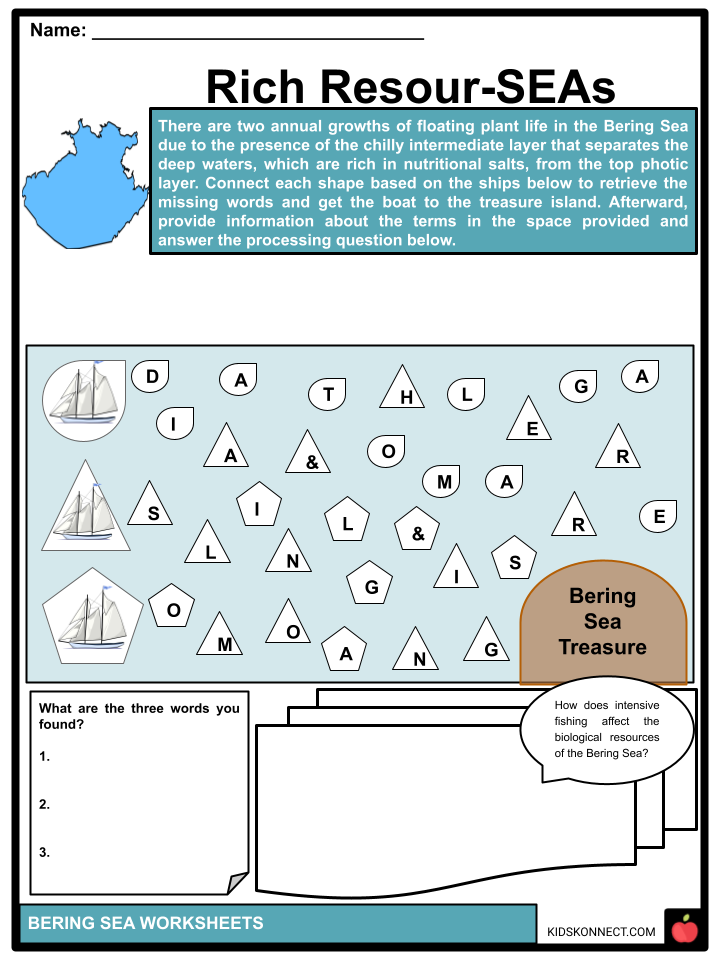
- There are two annual growths of floating plant life in the Bering Sea due to the presence of the chilly intermediate layer that separates the deep waters, which are rich in nutritional salts, from the top photic layer (i.e., the layer exposed to sunlight).
- The first growth occurs in the spring following the mixing of the waters in the winter. The second growth happens during the autumnal mixing when the deeper waters rise to the surface, and the cold surface waters sink while there is still enough sunshine for plant development.
- There are 160 kinds of this floating plant life, the most prevalent of which are diatom algae. The shallow area of the water has been discovered to have the highest concentration of diatoms.
- More than 300 fish species, including 50 deep-sea species, are found in the Bering Sea, 25 of which are fished for market. Salmon, herring, cod, flounder, halibut, and pollack are the most significant.
- Some of the more lucrative fish species have been severely depleted by intensive fishing in the latter part of the 20th century, which has increased commercial exploitation of less valuable species.
- It is thought that there are oil and gas resources under the Bering Shelf and along the Kamchatka Peninsula edge. But it’s unclear how large the potential reserves may be.
NAVIGATION
- One of the trickiest bodies of water in the world to navigate is the Bering Sea. Extreme winter storms produce waves over forty feet high and cover ships in ice.
- Heavy fog and pelting rain reduce visibility, making it challenging to avoid floating ice.
- Despite these risks, the sea remains a vital maritime route for the Far East, with the eastern terminal of the northern sea route at Arkhangelsk in the west being at Provideniya on the Chukchi Peninsula.
STUDY AND EXPLORATION
- Russian ships under Semyon Dezhnyov were the first to discover the Bering Strait and the Bering Sea in 1648. They bear Vitus Bering’s name, a Danish commander who Peter the Great enlisted in the Russian army in 1724.
- At the end of the 18th century, a geographic study of the Bering Sea was conducted, and hydrographic studies were added subsequently.
- British explorers started studying deep water in 1827. A U.S. team also put in a lot of effort while working aboard the American research ship Albatross from 1893 to 1906.
- Since then, scientists from the Soviet Union, the United States, and Japan have conducted extensive research on the ocean.
- The Soviet ship Vityaz conducted some of the most thorough examinations over a series of excursions in the 1950s and 1960s.
CHANGES AND IN MEDIA
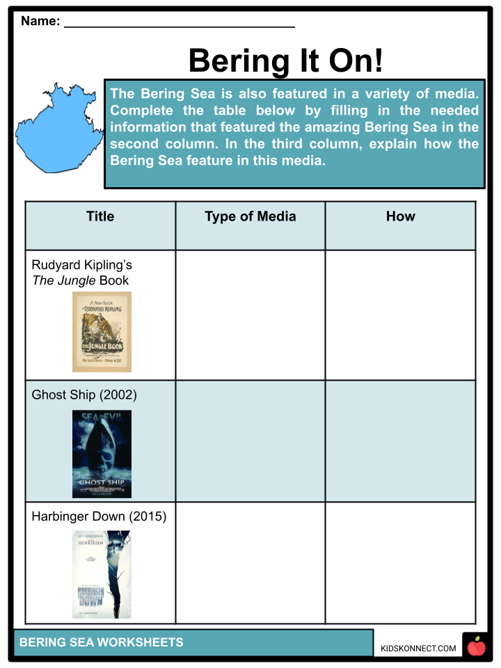
- The Bering Sea is Kotick’s birthplace and habitat in The White Seal, one of several chapters of Rudyard Kipling’s The Jungle Book. Kotick is a rare white fur seal.
- The August 7, 2015, release of the movie Harbinger Down was about a group of graduate students who reserved passage aboard the crabbing boat Harbinger to investigate how global warming affects a pod of beluga whales in the Bering Sea.
- The name “Bering” was given to one of the main characters in the 1949 movie Down to the Sea in Ships because he was born aboard a ship crossing the Bering Sea.
- The Italian ocean liner Antonia Graza, which vanished in 1962, is found in the Bering Sea by a marine salvage crew in Steve Beck’s spooky thriller Ghost Ship from 2002.
- The future evolution of the climate and ecosystem of the Bering Sea is unpredictable due to the changes in the Arctic.
- In contrast to the significant summer ice loss in the Arctic Ocean, the region’s sea ice extent only slightly increased between 1979 and 2012.
- Wind patterns altered in late January 2019, and five powerful, warm cyclones hit the Bering Sea, breaking up the thin ice and propelling it northward.
- Early March saw the lowest winter sea-ice extent in the EBS. Areal ice cover was reduced by 82% (a retreat of 4.0 105 km2) from late January to early March, the most significant percent retreat ever documented in the satellite data during January or February.
- The absolute extent of ice retreat was only second to 1989 (4.2 105 km2), a year with one of the broadest January ice coverage on record (1979-2019).
Bering Sea Worksheets
This fantastic bundle includes everything you need to know about the Bering Sea across 34 in-depth pages. These ready-to-use worksheets are perfect for teaching kids about the Bering Sea. The Bering Sea is a northern Pacific Ocean edge sea. The division between the two largest landmasses on the planet, Eurasia and the Americas, together with the Bering Strait

Complete List of Included Worksheets
Below is a list of all the worksheets included in this document.
- Bering Sea Facts
- Sea of Information
- Decode to SEA History
- Bering SEA-Code!
- Fishing for Facts
- Bering It On!
- Sea Seek!
- Rich Resour-SEAs
- Navigating the Bering Sea
- Hydrolo-SEA
- Ber-ing Mind
Frequently Asked Questions
Where is the Bering Sea located?
The Bering Sea is located in the northern part of the Pacific Ocean, between Alaska to the east and Russia’s Siberian coast to the west. It is named after the Danish explorer Vitus Bering, who explored the region in the 18th century.
What are the dimensions of the Bering Sea?
The Bering Sea has an area of approximately 2.3 million square kilometers (890,000 square miles). It stretches about 2,300 kilometers (1,400 miles) from north to south and has an average depth of around 50 to 60 meters (160 to 200 feet).
What are some notable features of the Bering Sea?
- The Bering Sea is known for its diverse marine ecosystem and unique geographical features. Some notable features include:
- The Bering Strait: This narrow passage connects the Bering Sea to the Arctic Ocean and separates the United States (Alaska) from Russia.
- The Pribilof Islands: These volcanic islands, such as St. Paul and St. George, are located in the southern Bering Sea and are home to large populations of seabirds and marine mammals.
- The Aleutian Islands: Stretching westward from the Alaskan mainland, the Aleutian Islands form a chain of volcanic islands that mark the boundary between the Bering Sea and the North Pacific Ocean.
What is the significance of the Bering Sea in terms of marine life?
The Bering Sea is highly productive and supports a rich marine ecosystem. It is home to numerous fish species, including salmon, pollock, cod, and halibut. It also serves as a critical breeding and feeding ground for various marine mammals, such as seals, sea lions, whales, and the endangered Steller sea lion.
How does the Bering Sea impact climate and weather patterns?
The Bering Sea plays a significant role in shaping regional climate and weather patterns. During the winter, cold air masses form over the sea, leading to the development of storms known as Bering Sea cyclones. These storms can bring strong winds, heavy precipitation, and rough seas to coastal areas of Alaska and the Russian Far East. Additionally, the sea ice that forms in the Bering Sea during winter has implications for local ecosystems, shipping routes, and indigenous communities that rely on ice for hunting and transportation.
Link/cite this page
If you reference any of the content on this page on your own website, please use the code below to cite this page as the original source.
Link will appear as Bering Sea Facts & Worksheets: https://kidskonnect.com - KidsKonnect, July 19, 2023
Use With Any Curriculum
These worksheets have been specifically designed for use with any international curriculum. You can use these worksheets as-is, or edit them using Google Slides to make them more specific to your own student ability levels and curriculum standards.


