Premium  Download Edit
Download the Ben Nevis Facts & Worksheets
Click the button below to get instant access to these worksheets for use in the classroom or at a home.
Download This Worksheet
This download is exclusively for KidsKonnect Premium members!
To download this worksheet, click the button below to signup (it only takes a minute) and you'll be brought right back to this page to start the download!
Sign Me Up
Edit This Worksheet
Editing resources is available exclusively for KidsKonnect Premium members.
To edit this worksheet, click the button below to signup (it only takes a minute) and you'll be brought right back to this page to start editing!
Sign Up
Not ready to purchase a subscription? Click to download the free sample version Download sample
Download This Sample
This sample is exclusively for KidsKonnect members!
To download this worksheet, click the button below to signup for free (it only takes a minute) and you'll be brought right back to this page to start the download!
Sign Me Up
Table of Contents
For many ardent walkers, climbing Ben Nevis—one of the UK’s most well-known natural landmarks—is a must-do adventure! Knowing some of its secrets can add to the adventure’s attraction because its past is as rich as the journey itself.
See the fact file below for more information on Ben Nevis, or you can download our 28-page Ben Nevis worksheet pack to utilize within the classroom or home environment.
Key Facts & Information
BACKGROUND INFORMATION
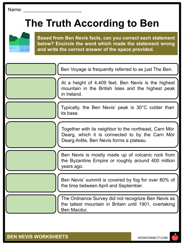
- Although some people think Nevis is derived from the Gaelic meaning “cloud” or “Heaven,” the name Ben Nevis is typically translated as “malicious” or “venomous mountain.” It is frequently referred to as just The Ben.
- At a height of 4,409 feet, Ben Nevis is the highest mountain in the British Isles and the highest peak in Scotland.
- The mountain’s summit is a plateau measuring roughly 100 acres (40 hectares), with a minor slope to the south and a steep face to the northeast. Its elevation is 4,406 feet (1,343 meters).
- Typically, the peak is 10°C colder than the base.
- A Site of Special Scientific Interest, Ben Nevis and a significant portion of Glen Nevis are located within the Ben Nevis and Glen Coe National Scenic Area.
GEOGRAPHY
- Together with its neighbor to the northeast, Carn Mòr Dearg, which it is connected to by the Carn Mòr Dearg Arête, Ben Nevis forms a massif. In addition to Aonach Mòr and Aonach Beag directly to the east, all eight mountains in Great Britain that are higher than 4,000 feet (1,219 meters) are located in the Cairngorm Mountains.
- The mountain appears to be massively bulky on the side because its western and southern flanks ascend 1,200 meters (3,900 feet) in just over two kilometers (1.2 miles) from the base of Glen Nevis, the longest and steepest hill slope in Britain.
- By contrast, cliffs to the north plummet about 600 meters (2,000 feet) to Coire Leis.
GEOLOGY
- Ben Nevis is mostly made up of volcanic rock from the Devonian period, or roughly 400 million years ago, that has been inserted into the nearby metamorphic schists in the form of a number of concentric ring dikes.
- The southern portion of the mountain above Lochan Meall an t-Suidhe and the nearby ridge of Carn Mr Dearg are made up of the innermost of these, known as the Inner Granite; Meall an t-Suidhe is a component of the outer Granite, which is redder in hue.
CLIMATE
- Because of Ben Nevis’s altitude, coastal location, and topography, it frequently experiences bad weather, which can be hazardous for unprepared walkers.
- Fog covered the summit for over 80% of the time between November and January and for 55% of the time in May and June, according to observations made at the top observatory between 1883 and 1904.
- Ben Nevis has around twice as much rainfall in the winter as it does in the spring and summer.
HISTORY
- On August 17, 1771, James Robertson, an Edinburgh botanist who was visiting the area to gather plant samples, accomplished the first known ascent of Ben Nevis.
- John Williams made another early ascent of the peak in 1774, and it was during his exploration that the mountain’s geological structure was first described.
- The Ordnance Survey did not recognize Ben Nevis as the tallest mountain in Britain until 1847, overtaking Ben Macdui.
- The Scottish environmental nonprofit John Muir Trust purchased the Ben Nevis Estate in 2000, which included the entire mountain’s summit and south side.
ASCENT ROUTE
- The easiest and most popular ascension route is still the 1883 Pony Track to the Summit (also known as the Ben Way, the Mountain Path, or the Tourist Route).
- It starts in Achintee, which is 20 meters above sea level and is located on the east side of Glen Nevis, about two kilometers (1.5 miles) from Fort William’s downtown. Access from the west side of Glen Nevis is now possible thanks to bridges between the visitor center and the youth hostel.
- The remaining 700 meters of the ascent are made up of a series of zigzags up the stony west slope of Ben Nevis. The trail ascends sharply to the saddle at Lochan Meall an t-Suidhe at 570 meters.
- Expert hillwalkers frequently take a path that runs alongside the Allt a’ Mhuilinn, which begins at Torlundy, a few miles northeast of Fort William on the A82 road.
- From Glen Nevis, it can also be reached by continuing on the Pony Trail until you reach Lochan Meall an t-Suidhe and then descending to the CIC Hut.
- The advantage of this approach is that it provides a wide perspective of the cliffs on the north face, which are obscured from view by the Pony Trail.
- At the Nevis Gorge parking lot at the beginning of the route up Glen Nevis, it is also possible to ascend Ben Nevis along the southeast ridge or through the summit of Carn Dearg (southwest). These shorter, steeper paths don’t involve scrambling and are frequently used by seasoned hill walkers.
NAVIGATION AND SAFETY
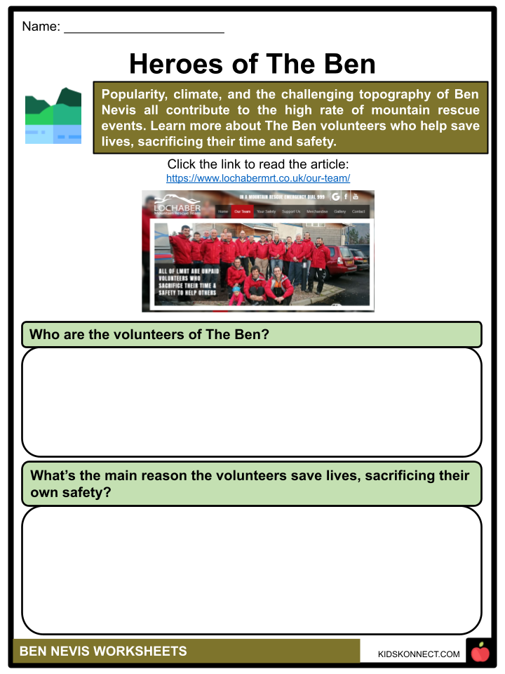
- Popularity, climate, and the challenging topography of Ben Nevis all contribute to the high rate of mountain rescue events.
- A few accidents are caused by problems getting to or from the peak, particularly in low visibility. The difficulty is caused by the summit plateau’s roughly kidney-shaped shape and the fact that it is flanked by cliffs on three sides.
- To go from the summit cairn to the west flank, where a rather safe descent on the Pony Track can be made, requires two exact compass headings taken in succession.
BEN NEVIS RACE
- Under the Scottish Amateur Athletic Association regulations, the first competitive race took place on June 3, 1898.
- Up until 1903, there were two organized races every year; they were the last for 24 years, possibly as a result of the top observatory’s shut down the following year.
- Since 1937, the Ben Nevis Race has been held in its current format. It now always takes place on the first Saturday in September, and there can be up to 500 competitors.
- It is 16 kilometers (9.9 mi) long with 1,340 meters (4,400 ft) of altitude and begins and ends at the Claggan Park football field on the outskirts of Fort William. Entry is only allowed to those who have completed three hill races because of the severity of the mountainous terrain. Runners are also required to carry waterproof clothing, a hat, gloves, and a whistle. Anybody who has not reached the summit within two hours is sent back.
CLIMBING BEN NEVIS
- The north face of Ben Nevis was one of the first locations in Scotland to attract the interest of experienced mountaineers. The earliest known climbing expedition on the Ben was in 1892 with a descent of Tower Ridge.
- Among the four main ridges on the north face, Tower Ridge is the longest and has an elevation gain of almost 600 meters. Although it is technically not difficult, and capable climbers can complete most pitches without a rope, it is risky and exposed.
- The first of the main ridges, Castle Ridge, is a simpler scramble, while Observatory Ridge, the one closest to the top, is rated as Very Difficult.
- The last and largest of these four ridges, the North-east Buttress, is regarded as the hardest because of its mix of technical difficulty and gravity.
- Several graded rock climbs may be found all the way along the north face, with concentrations on the Carn Dearg Buttress, the area surrounding the North-east Buttress, and Observatory Ridge.
- Historic rock climbs on Observatory Buttress (Severe) include Rubicon Wall, as well as Centurion and Agrippa, and Carn Dearg.
- The north face is one of Scotland’s top locations for winter mountaineering and ice climbing, and it retains snow far into the fall. In a good year, routes might stay in winter condition well into the spring.
- The Curtain, which is located on the left side of the Carn Dearg Buttress, is arguably the most well-known ice climb on Ben Nevis.
Ben Nevis Worksheets
This fantastic bundle includes everything you need to know about Ben Nevis across 28 in-depth pages. These ready-to-use worksheets are perfect for teaching kids about Ben Nevis. At a height of 4,409 feet, Ben Nevis is the highest mountain in the British Isles and the highest peak in Scotland.

Complete List of Included Worksheets
Below is a list of all the worksheets included in this document.
- Ben Nevis Facts
- The Truth According to Ben
- The Ben Record Holders
- The Ben in a Sentence
- Pin The Ben
- Heroes of The Ben
- The Ben Five
- My Own Ben
- Two to Climb
- I Learned from The Ben
- Ready, Get Set, Ben Nevis!
Frequently Asked Questions
What is Ben Nevis?
Ben Nevis is the highest mountain in the British Isles, located in Scotland. It stands at 1,345 meters (4,413 feet) tall and attracts thousands of visitors each year who come to climb to its summit.
How do I climb Ben Nevis?
The most popular route up Ben Nevis is the “Mountain Path,” also known as the “Tourist Path” or the “Pony Track.” This path starts at the Ben Nevis Visitor Centre and follows a well-marked trail to the summit. However, it is a challenging climb and should not be underestimated. It is important to be prepared with proper equipment and clothing and to check the weather conditions before attempting the climb.
Is it safe to climb Ben Nevis?
Climbing Ben Nevis can be dangerous, especially in bad weather conditions. It is important to be prepared and to take all necessary safety precautions, such as wearing appropriate clothing and footwear, bringing enough food and water, and carrying a map and compass. It is also recommended to climb with an experienced guide or to join a guided group if you are not familiar with the mountain.
What are some interesting facts about Ben Nevis?
- Ben Nevis is located in the Lochaber area of the Scottish Highlands.
- The name “Ben Nevis” comes from the Gaelic language, meaning “Mountain of Heaven.”
- The first recorded ascent of Ben Nevis was in 1771 by a botanist named James Robertson.
- The mountain is home to a variety of wildlife, including ptarmigans, golden eagles, and red deer.
- There is a small observatory located near the summit, which was used in the past to study meteorology and the earth’s magnetic field.
Can I visit Ben Nevis without climbing it?
Yes, even if you do not wish to climb to the summit, there are many ways to enjoy the beauty of Ben Nevis. The surrounding area offers scenic drives, hiking trails, and opportunities for wildlife watching. The Ben Nevis Visitor Centre provides information on the mountain and the local area, as well as a gift shop and restaurant.
Link/cite this page
If you reference any of the content on this page on your own website, please use the code below to cite this page as the original source.
Link will appear as Ben Nevis Facts & Worksheets: https://kidskonnect.com - KidsKonnect, June 28, 2023
Use With Any Curriculum
These worksheets have been specifically designed for use with any international curriculum. You can use these worksheets as-is, or edit them using Google Slides to make them more specific to your own student ability levels and curriculum standards.


