Premium
 Download
Edit
Download
Edit
Download the British Columbia Facts & Worksheets
Click the button below to get instant access to these worksheets for use in the classroom or at a home.
Download This Worksheet
This download is exclusively for KidsKonnect Premium members!
To download this worksheet, click the button below to signup (it only takes a minute) and you'll be brought right back to this page to start the download!
Sign Me Up
Edit This Worksheet
Editing resources is available exclusively for KidsKonnect Premium members.
To edit this worksheet, click the button below to signup (it only takes a minute) and you'll be brought right back to this page to start editing!
Sign Up
Not ready to purchase a subscription? Click to download the free sample version Download sample
Download This Sample
This sample is exclusively for KidsKonnect members!
To download this worksheet, click the button below to signup for free (it only takes a minute) and you'll be brought right back to this page to start the download!
Sign Me Up
Table of Contents
British Columbia, Canada’s westernmost province, is defined by its Pacific coastline and mountain ranges. Nature areas like Glacier National Park offer hiking and biking trails, as well as campgrounds. Whistler Blackcomb is a major ski resort that hosted the 2010 Winter Olympics. The scenic Sea-to-Sky Highway links Whistler with Vancouver, a city known for its film industry, at the province’s southern U.S. border.
See the fact file below for more information on the British Columbia or alternatively, you can download our 23-page British Columbia worksheet pack to utilise within the classroom or home environment.
Key Facts & Information
HISTORY AND SETTLEMENT
- The area of Canada that is now British Columbia was first occupied shortly after the last Ice Age.
- Hunter-gatherers made up the main social structure between 5,000 to 10,000 years ago.
- Indigenous peoples who lived along the Northwest Coast were the peoples of the Na-Dene languages (like the Tlingit) and they lived in autonomous villages that had populations of about 200-1,000 people.
- The Na-Dene peoples have linguistic links to the languages of Siberia.
- The Pacific Northwest was very difficult for European settlement due to its location so far west, as well as the barrier created by the Rocky Mountains. The first permanent settlement happened in the early 19th century as a result of the development of the fur trade.
- During the 1820s and 30s, British Columbia was largely run by the Hudson’s Bay Company, which controlled the majority of trading operations in the Pacific Northwest.
- In 1858, when gold was discovered along the Thompson River, the Fraser Canyon Gold Rush ensued, which turned the city of Victoria into a tent city, as people flooded from around the world to mine gold, and would camp out there before moving north.
- By the 1880’s, permanent mining towns were settled, and railways, road transportation, and small farms popped up to support them.
- In 1886, Vancouver was selected as the main western terminal for the Canadian Pacific Railway. It was this decision that shifted importance away from Victoria (which was the main settlement for decades) and onto Vancouver as a commercial centre and main port city for coastal and interior trade.
- Due to the gold rushes in the late 19th century, the colony of British Columbia amalgamated with the Colony of Vancouver Island to form the Colony of British Columbia, which then changed to just “British Columbia” when the province joined Canada on July 20, 1871 under the authority of the British North America Act.
- Rapid growth occurred in British Columbia after confederation as the population grew. The mining, forestry, fishing, and agriculture sectors developed, and the Canadian Pacific Railway was completed in 1885.
- There was a mixture of ethnic groups in British Columbia due to immigration from Europe, China, Japan, and India.
- British Columbia was hit hard during the depression in the 1930s, but recovered during World War II and in the post-war era.
- During the 1950s, the improved transportation links to BC helped integrate the interior resource economies with coastal centres to help process, manage, and transport these resources.
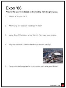
- Expo ‘86, a celebration of events and exhibitions highlighting Vancouver’s centenary, was held from May-October of 1986, which attracted many migrants to the province.
- Now, in the 21st century, BC is one of Canada’s most prosperous and fast-growing provinces.
GEOGRAPHY, ECONOMY, AND CULTURE OF B.C
- British Columbia has two main regions – “the Interior” and “the Coast”.
- The interior contains several mountain ranges and valleys named the Okanagan and the Kootenay, famous for their mild weather and wine.
- The lower mainland of BC holds approximately 60% of the population, mainly located in metropolitan Vancouver, and the region of the Georgia Strait, which includes Victoria, hosts about 20% of the population.
- Much of the northern half of the province is uninhabited and is also cut off from the Pacific Ocean by the Alaska Panhandle (the part of Alaska that separates BC from the Pacific Ocean, as seen in the map below).
- British Columbia is covered mostly by the Cordilleran mountain system, with the Rocky Mountains rising 3,200 to almost 5,000 feet above sea level, and the Rocky Mountain Trench (the longest valley in North America) spanning the length of the province.
- Many trees – such as western cedar, Douglas fir, hemlock, as well as aspens and pines – scatter throughout much of the province.
- In winter, the mountains provide a barrier that typically prevents the warm air from the Pacific Ocean from reaching the interior, which means snow and cold temperatures in the latter and milder winters for the coastal areas.
- About 60% of British Columbia is forested and account for nearly 20% of the forested land in Canada.
- Many metals have been discovered in parts of British Columbia, including lead, zinc, gold, and silver.
- 75% of the province is mountainous, and only about 5% is arable (meaning it is suitable for growing crops).
- British Columbia has 14 designated parks and protected areas, as well as 141 ecological reserves and 6 National Historic Sites of Canada.
- A large part of the province is undeveloped, so there is a wide range of animals that you can see.
- Some animals include bears, moose, caribou, beavers, cougars, eagles, hawks, owls, ravens, wolves, salmon, and many varieties of whales – it is very diverse!
- There is also an abundance of wild and medicinal plant foods that helped the First Nations of British Columbia survive.
- British Columbia has a reputation for being an outdoorsy, mountainous, adventurous province with a wide variety of activities to enjoy, such as camping, rock climbing, kayaking, skiing, biking, and more.
- The largest metropolitan city in British Columbia is Vancouver. Other large cities are Abbotsford-Mission, Kelowna, and Victoria. About 86% of people live in urban centres.
- Visible minorities make up over 30% of the population in the province, with many Chinese and South Asian communities, as well as a significant Indigenous population (over 6%).
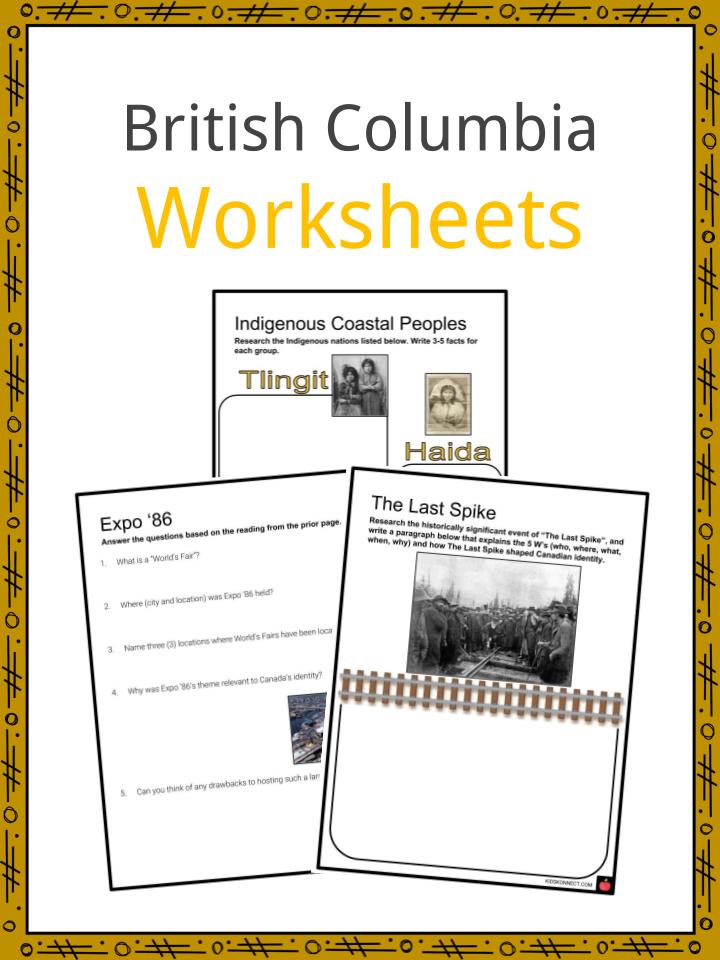
British Columbia Worksheets
This is a fantastic bundle which includes everything you need to know about British Columbia across 23 in-depth pages. These are ready-to-use British Columbia worksheets that are perfect for teaching students about the British Columbia, Canada’s westernmost province, which is defined by its Pacific coastline and mountain ranges. Nature areas like Glacier National Park offer hiking and biking trails, as well as campgrounds. Whistler Blackcomb is a major ski resort that hosted the 2010 Winter Olympics. The scenic Sea-to-Sky Highway links Whistler with Vancouver, a city known for its film industry, at the province’s southern U.S. border.


Complete List Of Included Worksheets
- Indigenous Coastal Peoples
- Expo ‘86
- The Last Spike
- Significant People
- B.C Wordsearch
- The On-to-Ottawa Trek
- Create a Totem Pole
- B.C Crossword
- “The Interior” & “The Coast”
- “Head Tax” Opinion Paragraph
Link/cite this page
If you reference any of the content on this page on your own website, please use the code below to cite this page as the original source.
Link will appear as British Columbia Facts & Worksheets: https://kidskonnect.com - KidsKonnect, February 28, 2019
Use With Any Curriculum
These worksheets have been specifically designed for use with any international curriculum. You can use these worksheets as-is, or edit them using Google Slides to make them more specific to your own student ability levels and curriculum standards.