Premium  Download Edit
Download the Marble Canyon Facts & Worksheets
Click the button below to get instant access to these worksheets for use in the classroom or at a home.
Download This Worksheet
This download is exclusively for KidsKonnect Premium members!
To download this worksheet, click the button below to signup (it only takes a minute) and you'll be brought right back to this page to start the download!
Sign Me Up
Edit This Worksheet
Editing resources is available exclusively for KidsKonnect Premium members.
To edit this worksheet, click the button below to signup (it only takes a minute) and you'll be brought right back to this page to start editing!
Sign Up
Not ready to purchase a subscription? Click to download the free sample version Download sample
Download This Sample
This sample is exclusively for KidsKonnect members!
To download this worksheet, click the button below to signup for free (it only takes a minute) and you'll be brought right back to this page to start the download!
Sign Me Up
Table of Contents
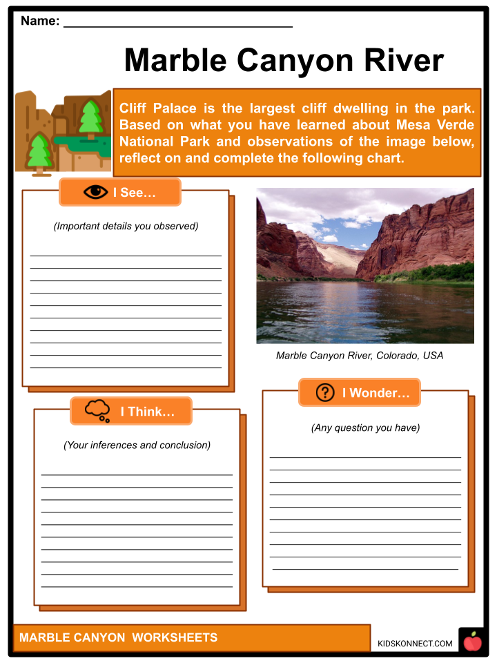
Marble Canyon is located in British Columbia’s south-central interior, a few kilometers east of the Fraser River and the town of Pavilion, midway between the cities of Lillooet and Cache Creek. The canyon was formed by a fallen karst formation.
See the fact file below for more information on the Marble Canyon, or you can download our 27-page Marble Canyon worksheet pack to utilize within the classroom or home environment.
Key Facts & Information
HISTORICAL BACKGROUND
- The Marble Canyon is the Navajo Nation’s natural western boundary, formed in the latter part of the nineteenth century. Indigenous presence existed before these more formal boundaries were established.
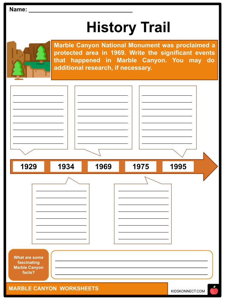
- Marble Canyon National Monument was proclaimed a protected area in 1969. It was a separate park until 1975 when it merged into Grand Canyon National Park. Four years later, the latter was designated a UNESCO World Heritage Site. Moreover, the Navajo Bridge(s) is one of the most significant features or enhancements to the natural scenery of Marble Canyon.
- The first bridge was erected in 1929 and was known as the Grand Canyon Bridge until 1934 when it was renamed Navajo. The 89A highway was carried across the Colorado River by this road bridge, establishing a gateway across the enormous and long canyon.
- In 1995, a second bridge was built, and this newer bridge replaced the primary vehicular bridge. The original was then turned into a walkway and horseback bridge, making it a famous tourist and visitor attraction today.
CLASSIFICATION
- The canyon’s name derives from the bright limestone that forms its walls. Instead of marble (metamorphic rock), the earth’s foundation is microcrystalline limestone (sedimentary rock). The Shuswap language’s native name for the canyon is sxmeltám, probably referring to “Indian doctors,” whereas the name for the area around Crown and Turquoise Lakes, and the neighboring south wall is getsgátsp, and of uncertain significance.
- Pavilion Lake is the largest of these, and it is inhabited by a colony of microbialites which are remarkable carbonate structures created by bacteria that imitate freshwater coral and are the world’s largest freshwater stromatolites.
GEOGRAPHY
- The north wall rises over 965 meters above Pavilion Lake and marks the southernmost limit of the Marble Range; the south wall rises 515 meters and marks the northern boundary of the Clear Range. Higher peaks lie behind the walls, increasing the depth when measured from their summits.
- Pavilion Lake is a freshwater lake in Marble Canyon, British Columbia, Canada, home to freshwater microbialite colonies. It is located on BC Highway 99, 8.85 highway kilometers (northeast then southeast) towards Pavilion, British Columbia, between Lillooet and Cache Creek.
- On the lake’s eastern shore, near the highway, there is a small hamlet of lakeside residences, some of which are recreational and seasonal only. The lake is framed by the sheer walls of Marble Canyon, the Marble Range’s southern buttress, and the dense forests of the Clear Range’s northernmost ridge.
Furthermore, the Clear Range is a small mountain range located in south-central British Columbia at the confluence of the Fraser and Thompson Rivers. The Scarped Range is a small subdivision about northeast of that confluence.
MARBLE CANYON PROVINCIAL PARK
- Furthermore, Marble Canyon Provincial Park was established in 1956 to protect Marble Canyon, a limestone structure at the southern extremity of the Marble Range in British Columbia, Canada.
- Due to the existence of microbialites, a form of stromatolite crucial to study in astrobiology and other sciences, the park was expanded to 355 hectares in 2001, then subsequently expanded to 2,544 hectares in 2010. The park is particularly significant in the history of the Ts’kw’aylaxw people, on whose territory it is located, and there are notable pictograph sites hidden in the gorge’s side canyons.
- Chimney Rock, situated inside the park and along Pavilion Lake at the opposite end from the main body of the canyon, has a Secwepemctsin name, K’lpalekw, which means “Coyote‘s Penis” and is an important spiritual location.
- A waterfall into Crown Lake at the park’s campground is known as “Icy BC” among ice climbers, while the walls of Marble Canyon are popular with rock climbers. Recreational fishers go to each of the three of the park’s lakes.
ROCK AND ICE CLIMBING
- Meanwhile, Marble Canyon is popular with climbers for its clean granite walls as well for its ice climbs, including one waterfall that freezes solid in midwinter and is directly across the provincial park campground next to Highway 99 between Lillooet to Cache Creek, British Columbia.
- In addition, Lillooet is a district municipality in the southwestern British Columbia Squamish-Lillooet region. The town is located on the west bank of the Fraser River, just north of the mouth of the Seton River. The community is about 100 kilometers northeast of Pemberton, 64 kilometers northwest of Lytton, and 172 kilometers west of Kamloops on BC Highway 99.
- Furthermore, Cache Creek is a historic transport junction and established village in British Columbia, Canada, located 354 kilometers northeast of Vancouver. It is situated on the Trans-Canada Highway in British Columbia, at the intersection with Highway 97.
- The same juncture and settlement sprang up around it on the Cariboo Wagon Road, where a branch road, formerly simply a track, headed east to Savona’s Ferry on Kamloops Lake. This village is also where a little brook named Riviere de la Cache meets the Bonaparte River.
GEOLOGY AND ECOLOGY
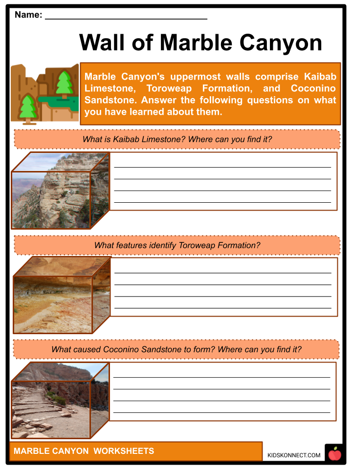
- The endangered cactus Pediocactus bradyi can only be found in Marble Canyon. On the other hand, Marble Canyon’s uppermost walls comprise Kaibab Limestone, Toroweap Formation, and Coconino Sandstone.
- The Kaibab Limestone is a tough cliff-forming Permian geologic formation found in northern Arizona, southern Utah, east-central Nevada, and southeast California. In Arizona, Nevada, and Utah, it is also referred to as the Kaibab Formation. The Grand Canyon’s rim is made of Kaibab Limestone. In comparison, Toroweap Formation is a thin, darker geologic formation between the brighter-colored sections of the Kaibab Limestone above and the Coconino Sandstone below. It is a significant unit in the Grand Canyon, Arizona, USA, found via areas of the South Rim, Grand Canyon, and the North Rim of the Kaibab Plateau; also the Kaibab southeastern extension to Cape Royal, the Walhalla Plateau.
- On the other hand, the Coconino Sandstone geologic formation is named after its location in Coconino County, Arizona. This formation is in the United States Colorado Plateau province, which includes northern Arizona, northwest Colorado, Nevada, and Utah.
Marble Canyon Worksheets
This fantastic bundle includes everything you need to know about the Marble Canyon across 27 in-depth pages. These ready-to-use worksheets are perfect for teaching kids about Marble Canyon. Marble Canyon is located in British Columbia’s south-central interior, a few kilometers east of the Fraser River and the town of Pavilion, midway between the cities of Lillooet and Cache Creek.
Complete List of Included Worksheets
Below is a list of all the worksheets included in this document.
- Marble Canyon Facts
- Words of Boundary
- What I See
- Wall of Marble Canyon
- On The Lake
- History Trail
- TGIF: Think Great Idea & Form
- Marble Canyon River
- Living Near A Canyon
- TO DO: Ice Climbing!
- #ITSNOT_TOOLATE
Frequently Asked Questions
What is Marble Canyon?
Marble Canyon is a deep and narrow gorge located within the northern part of Arizona, United States. It is part of the Grand Canyon National Park and is situated upstream from the better-known and larger Grand Canyon.
How was Marble Canyon formed?
Marble Canyon, like the Grand Canyon, was primarily formed by the erosive action of the Colorado River over millions of years. The relentless flow of water gradually carved through the layers of sedimentary rock, exposing the beautiful and colorful geological formations that make up the canyon walls.
Why is it called Marble Canyon?
Despite its name, Marble Canyon does not contain any actual marble. The name “Marble Canyon” originated from the light-colored limestone and dolomite rocks found in the canyon walls. These rocks resemble the appearance and texture of marble, hence the name.
What are some notable features of Marble Canyon?
Marble Canyon is known for its striking geological features and scenic beauty. Some notable features include towering cliffs, dramatic rock formations, and narrow passages. One prominent landmark within Marble Canyon is the Navajo Bridge, a historic steel arch bridge that spans the Colorado River.
Can you explore Marble Canyon?
Yes, Marble Canyon is open for exploration and offers various recreational activities. Visitors can enjoy hiking, camping, fishing, and boating in the surrounding area. Additionally, there are viewpoints along Highway 89A that provide stunning vistas of the canyon. It’s important to note that while Marble Canyon is part of the Grand Canyon National Park, it is less visited than the more famous sections of the park, offering a quieter and more secluded experience.
Link/cite this page
If you reference any of the content on this page on your own website, please use the code below to cite this page as the original source.
Link will appear as Marble Canyon Facts & Worksheets: https://kidskonnect.com - KidsKonnect, July 19, 2023
Use With Any Curriculum
These worksheets have been specifically designed for use with any international curriculum. You can use these worksheets as-is, or edit them using Google Slides to make them more specific to your own student ability levels and curriculum standards.


