Premium  Download Edit
Download the Micronesia Facts & Worksheets
Click the button below to get instant access to these worksheets for use in the classroom or at a home.
Download This Worksheet
This download is exclusively for KidsKonnect Premium members!
To download this worksheet, click the button below to signup (it only takes a minute) and you'll be brought right back to this page to start the download!
Sign Me Up
Edit This Worksheet
Editing resources is available exclusively for KidsKonnect Premium members.
To edit this worksheet, click the button below to signup (it only takes a minute) and you'll be brought right back to this page to start editing!
Sign Up
Not ready to purchase a subscription? Click to download the free sample version Download sample
Download This Sample
This sample is exclusively for KidsKonnect members!
To download this worksheet, click the button below to signup for free (it only takes a minute) and you'll be brought right back to this page to start the download!
Sign Me Up
Table of Contents
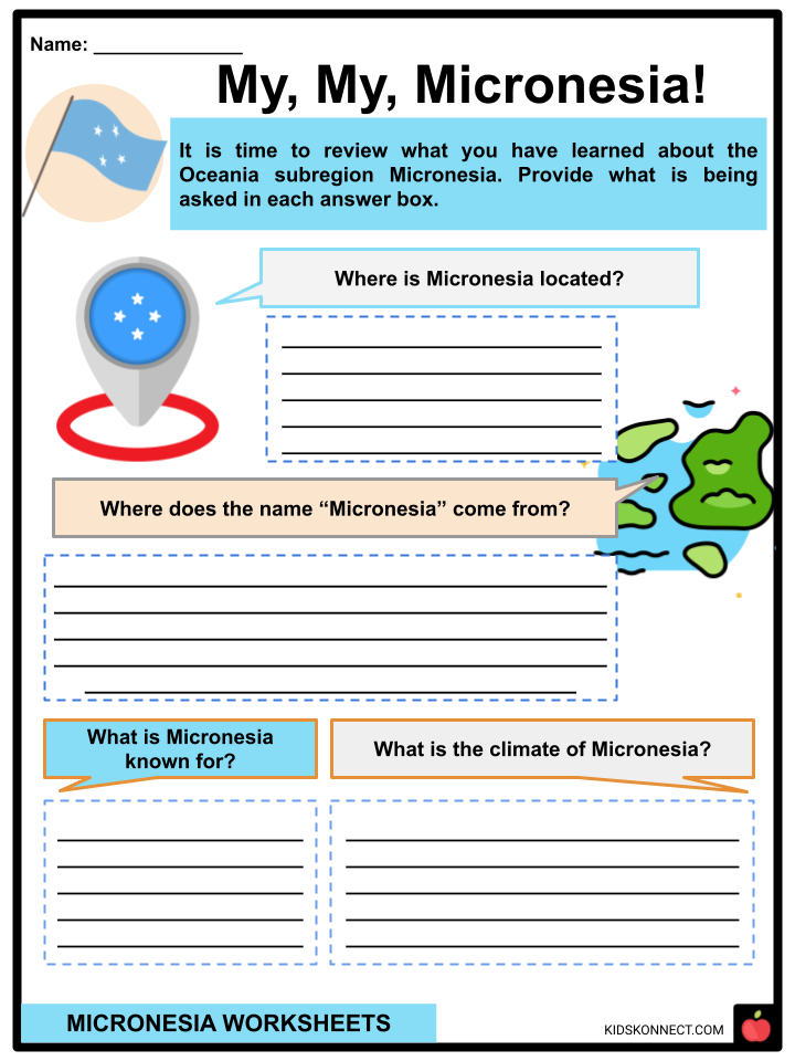
Micronesia is a subregion of Oceania comprising a group of islands between the Philippines and Hawaii and south of Guam. It is officially known as the Federated States of Micronesia. Nestled in the western Pacific Ocean, Micronesia is known for its stunning scenery, bountiful natural resources, incredible cultural heritage, and unique cuisine. It is close to the other subregions of Oceania: Polynesia to the east and Melanesia to the south.
See the fact file below for more information about Micronesia, or you can download our 28-page Micronesia worksheet pack to utilize within the classroom or home environment.
Key Facts & Information
TOPONYMY
- Micronesia comes from two Greek words.
- Mikros means “small” in English and nesos which means “island”.
- This “small island” of a country has a total land area of 2,700 square kilometers, even though it consists of around 2,100 islands.
GEOGRAPHY AND CLIMATE
- It is a subregion of Oceania, sharing a rich cultural history with Polynesia to its east and Melanesia to its south.
- Most of Micronesia’s islands are part of a coral atoll and experience a tropical marine climate.
- The dry season spans from January to June, while the rainy season runs from July to December.
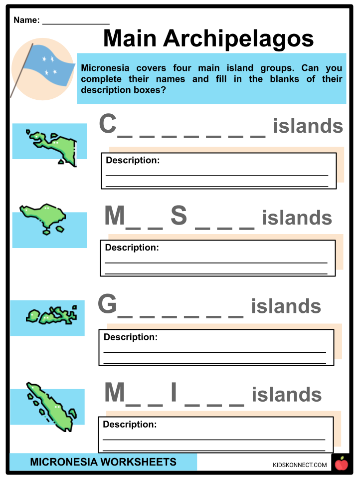
- Micronesia’s four main island groups include the Caroline Islands, the Gilbert Islands, the Mariana Islands, and the Marshall Islands.
CAROLINE ISLANDS
- East of the Philippines, a group of 500 small coral islands called the Caroline Islands boasts of its preservation of ancient ruins as well as volcanic features and corals.
- In the past, it was referred to as “New Philippines” as it was included the Spanish East Indies.
GILBERT ISLANDS
- The Gilbert Islands is a group of 16 coral islands and atolls located halfway between Papua New Guinea and Hawaii.
- It is classified to be in the South Pacific Ocean.
- It is the main archipelago of the country of Kiribati.
MARIANA ISLANDS
- The Mariana Islands is an archipelago that is shaped like a crescent and covers a chain of fifteen volcanic mountain summits and elevated coral reefs.
- This archipelago came about after the western edge of the Pacific Plate moved westward and pushed downward below the Mariana Plate.
- The Mariana Islands is divided into two administrative units: the Northern Mariana Islands and Guam.
MARSHALL ISLANDS
- Officially known as the Republic of the Marshall Islands, the Marshall Islands is a country on its own but geographically a part of Micronesia.
- It is a group of five islands and 29 coral atolls located near Kiribati in the Pacific Ocean.
HISTORY
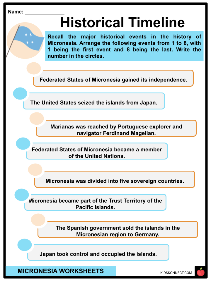
- The earliest account of Micronesia dates to 1521, when the Marianas was reached by Portuguese explorer and navigator Ferdinand Magellan.
- The long history of Micronesia’s colonization started in 1886 with Spain.
- The Spanish government sold the remaining islands of the region to Germany in 1899 in a treaty signed by Spanish Prime Minister Francisco Silvela.
- In 1914, Japan took control and occupied the islands.
- The United States seized the islands from Japan in 1944 during World War II.
- Micronesia was part of the Trust Territory of the Pacific Islands, a United Nations trust territory administered by the United States from 1947 to 1986.
- Micronesia is composed of thousands of small islands found in the western Pacific Ocean.
- The region is comprised of approximately 2,100 islands with a total land area of 1,000 square miles.
- Politically, Micronesia is divided into several sovereign countries, one of which is the Federated States of Micronesia or FSM.
- The capital of FSM is Palikir, which is located on the island of Pohnpei.
- Palikir is known for being the biggest island with the highest peak and most scenic spots in Micronesia.
- In 1986, the Compact of Free Association came into effect, which meant that the Federated States of Micronesia became fully independent.
- FSM gained its independence in 1986 but is still protected by the United States Military.
- In 1991, FSM became a member of the United Nations.
SOVEREIGN NATIONS
- The entire Micronesia region is comprised of five (5) sovereign, independent nations.
- These nations are (1) Federated States of Micronesia, (2) Palau, (3) Kiribati, (4) Marshall Islands, and (5) Nauru.
- The four main island groups that comprise Micronesia are the Caroline Islands, which the Federated States of Micronesia and Palau are a part of; the Gilbert Islands where the RP of Kiribati is found; the Mariana Islands which is composed of United States territories such as Northern Mariana Islands and Guam; and lastly the Marshall Islands.
- Guam covers the largest land area with approximately 225 square miles.
- Nauru is known as the world’s smallest republic and is the second least-populated country next to the Vatican City.
MICRONESIAN CULTURE
- Micronesians are known for being excellent seafarers who are adept at using stars, water currents, and natural landmarks in navigation.
- The Kapingamarangi people, who are renowned seafarers and lovers of the ocean, originated from Micronesia.
- The oral history of Micronesia remains intact because Micronesians value legends and tales being passed down from one generation to the next.
- Micronesian people are generally good at crafts; they can build traditional canoes, woven baskets, and other handicrafts.
- Traditional Micronesian attire includes the lava lava, which is colorful loin clothes and grass skirts worn by Yapese men and women, respectively; a loose-fitting skirt called the chuuk dress, and the Pohnpeian skirt called urohs.
- Fresh fruits, seafood, and root vegetables are dominant in Micronesian cuisine.
- Micronesians also have a traditional drink called sakau or kava, which is crafted from the roots of the Piper methysticum plant.
- The best way to witness the traditional dance, music, arts, and customs of Yapese culture in Micronesia is to attend the Yap Day Festival, which is held annually on March 1.
DEMOGRAPHICS
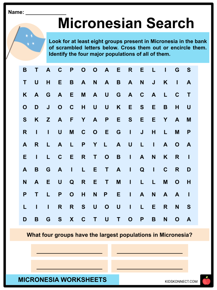
- Chuukese make up the largest population group in Micronesia.
- Smaller groups are the Pohnpeians, the Yapese, the Kosraeans, the Banabans, the Refaluwasch people, the Chamorros, the Kiribatis, the Marshallese, the Nauruans, the Palauans, the Sonsorolese people, and the Tobians.
- The seven Micronesian group’s languages are Marshallese, Gilbertese, Chuukese, Pohnpeian, Kosraean, Carolinean, and Ulithian.
- They are also known to be well-versed in speaking English.
- The religion of the majority of Micronesia’s population is Christianity.
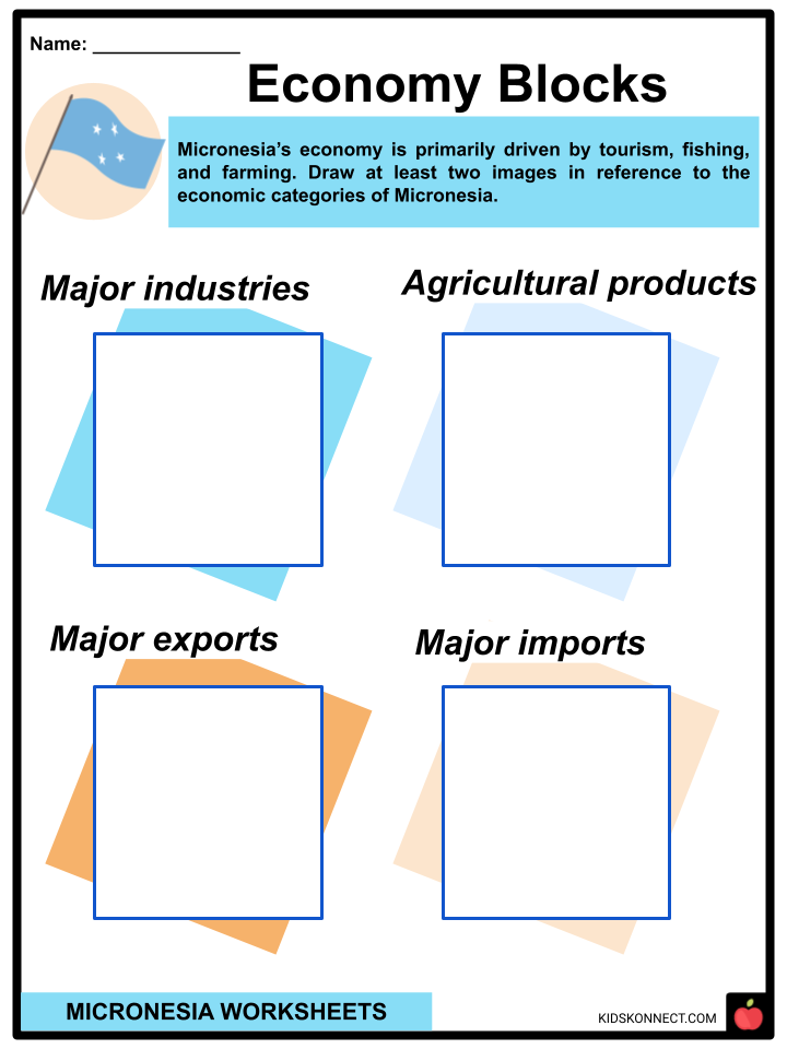
ECONOMY
- Tourism, farming, and fishing are the principal drivers of Micronesia’s economy.
- There are many amazing diving spots in Micronesia characterized by rich marine life, coral reefs, and historic shipwrecks.
- Sunken Ships from World War II are amongst the biggest tourist attractions in the region.
- The currency in Micronesia is the United States dollar.
- A traditional form of currency is the Yapese stone money, stone discs with a central hole that is unique to Micronesia.
LANDMARKS
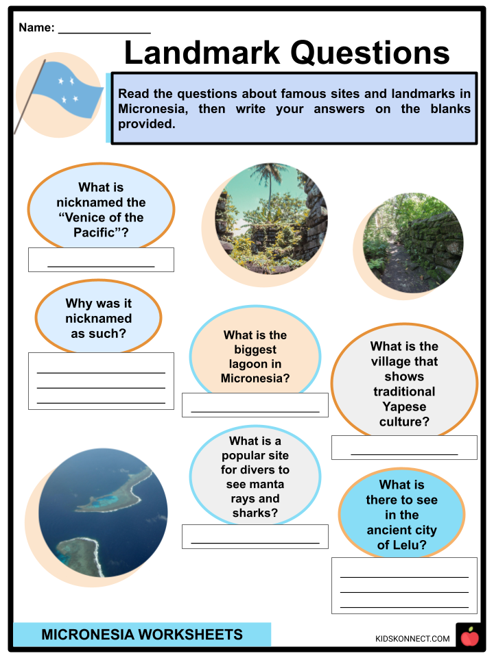
- Dubbed the “Venice of the Pacific”, Nan Madol on Pohnpei island is a UNESCO World Heritage Site and architectural wonder made of ancient stone structures and canals.
- The Chuuk Lagoon is one of the biggest lagoons in the world.
- Another must-see is the stone architecture and ruins of the ancient city of Lelu on the island of Kosrae.
- Divers consider the Palikir Pass as a popular site to see manta rays and sharks.
- The Mantywey Village on Yap Island, with its thatched-roof houses and stone paths, is very representative of Yapese culture.
Micronesia Worksheets
This fantastic bundle includes everything you need to know about Micronesia across 25 in-depth pages. These ready-to-use worksheets are perfect for teaching kids about Micronesia. Micronesia is a subregion of Oceania comprising a group of islands between the Philippines and Hawaii and south of Guam. It is officially known as the Federated States of Micronesia.
Complete List of Included Worksheets
Below is a list of all the worksheets included in this document.
- Micronesia Facts
- My, My, Micronesia!
- Historical Timeline
- Landmark Questions
- Main Archipelagos
- Micronesian Search
- Oceania Subregions
- Economy Blocks
- Micronesian Culture
- Islands Collage
- Sunken News
Frequently Asked Questions
Where is Micronesia located?
Micronesia is a region in the western Pacific Ocean, consisting of thousands of small islands and atolls. It is situated northeast of Papua New Guinea and north of Australia.
What are the four states of the Federated States of Micronesia?
The Federated States of Micronesia (FSM) is divided into four states: Yap, Chuuk (Truk), Pohnpei, and Kosrae. Each state has its own government and is made up of various islands and atolls.
What is the capital city of Micronesia?
The capital city of the Federated States of Micronesia is Palikir, which is located on the island of Pohnpei. Palikir serves as the administrative center of the country.
What is the primary language spoken in Micronesia?
English is the official language of Micronesia and is widely used in government, education, and commerce. However, many people also speak their indigenous languages, and there is cultural and linguistic diversity across the states.
What is the economy of Micronesia based on?
The economy of Micronesia is primarily based on subsistence agriculture, fishing, and international financial assistance, particularly from the United States. The country also receives revenue from fishing licenses for its exclusive economic zone (EEZ) and has limited tourism.
Link/cite this page
If you reference any of the content on this page on your own website, please use the code below to cite this page as the original source.
Link will appear as Micronesia Facts & Worksheets: https://kidskonnect.com - KidsKonnect, November 1, 2023
Use With Any Curriculum
These worksheets have been specifically designed for use with any international curriculum. You can use these worksheets as-is, or edit them using Google Slides to make them more specific to your own student ability levels and curriculum standards.


