Premium  Download Edit
Download the The Black Hills Facts & Worksheets
Click the button below to get instant access to these worksheets for use in the classroom or at a home.
Download This Worksheet
This download is exclusively for KidsKonnect Premium members!
To download this worksheet, click the button below to signup (it only takes a minute) and you'll be brought right back to this page to start the download!
Sign Me Up
Edit This Worksheet
Editing resources is available exclusively for KidsKonnect Premium members.
To edit this worksheet, click the button below to signup (it only takes a minute) and you'll be brought right back to this page to start editing!
Sign Up
Not ready to purchase a subscription? Click to download the free sample version Download sample
Download This Sample
This sample is exclusively for KidsKonnect members!
To download this worksheet, click the button below to signup for free (it only takes a minute) and you'll be brought right back to this page to start the download!
Sign Me Up
Table of Contents
The tallest peak east of the Rockies is located in the midst of the American Midwest, where grasslands give way to ponderosa pine woods that cover more than a million acres, and the famed spires of Custer State Park tower over bison herds. These mountains are known as the Black Hills.
See the fact file below for more information on Black Hills, or you can download our 27-page Black Hills worksheet pack to utilize within the classroom or home environment.
Key Facts & Information
BACKGROUND INFORMATION
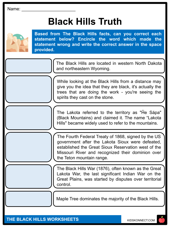
- The Black Hills are 1.2 million acres of forested hills and mountains that are roughly 110 miles long and 70 miles wide. They are located in western South Dakota and northeastern Wyoming.
- Even though the Black Hills are tranquil and stunning, they aren’t truly black. While looking at the Black Hills from a distance may give you the idea that they are black, it’s actually the trees that are doing the work – you’re seeing the shadows they cast on the stone. The Lakota people termed the small mountain range covered mostly by ponderosa pine trees Pahá Sápa, or “Hills That Are Black.“
- The Black Hills offers a variety of gorgeous views, hiking opportunities, ghost towns, National Parks and state parks, and a wealth of history in this region of stark contrasts with its magnificent pinnacles, enigmatic geologic formations, and deep forests.
HISTORY
- By the year 1500, the Arikara had come, then the Cheyenne, Crow, Kiowa, and Pawnee. Invading from Minnesota in the 18th century, the Lakota (also known as Sioux) drove the other tribes out as they advanced west. They referred to the territory as “Ȟe Sápa” (Black Mountains) and claimed it. The name “Black Hills” became widely used to refer to the mountains.
- In 1743, François and Louis de La Vérendrye most likely traveled close to the Black Hills. Native Americans were occasionally interacted with by fur trappers and traders.
- Lakota territory was gradually encroached upon by European Americans. The Fort Laramie Treaty of 1868, signed by the US government after the Lakota Sioux were defeated, established the Great Sioux Reservation west of the Missouri River and recognized their dominion over the Teton mountain range.
- The Black Hills were “forever” shielded from European-American colonization by this treaty. The axis mundi, or sacred center of the world, was regarded in the cultures of the Sioux and Cheyenne, who both asserted ownership of the land.
- Although there had been long-running reports of gold in the Black Hills, it wasn’t until Brevet Major General George Armstrong Custer of the 7th US Cavalry led an expedition there in 1874 that French Creek was found to contain gold.
- Dr. Valentine McGillycuddy, the surveyor for the group, was the first European American to climb to the summit of Black Elk Peak. Black Hills’ highest peak is 7,242 feet above sea level.
20th CENTURY LAND CLAIMS
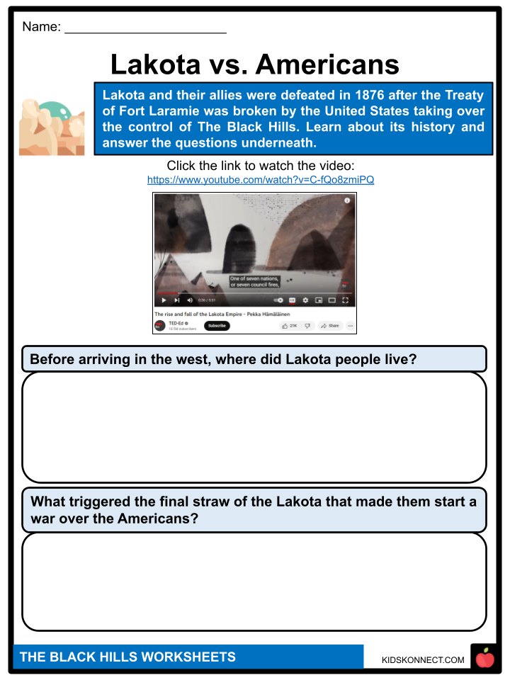
- The Black Hills War (1876), often known as the Great Sioux War, the last significant Indian War on the Great Plains, was started by disputes over territorial control.
- In violation of the Treaty of Fort Laramie, after the Lakota and their Cheyenne and Arapaho allies were defeated in 1876, the United States seized the sovereignty of the Black Hills and another area of territory.
- The Lakota never acknowledged the US appropriation in 1877 as legal. They have persisted in their attempts to regain the property and have sued the US government.
- The Supreme Court of the United States ruled in United States v. Sioux Nation of Indians on July 23, 1980, that the federal government had wrongfully stolen the Black Hills and ordered that compensation in the amount of the initial sale price plus interest, or about $106 million, be given.
- The Lakota rejected the settlement because they wanted to regain ownership of the Black Hills. The money has remained in an interest-bearing account as of 2015, totaling more than $1.2 billion, but the Lakota continue to reject receiving it.
- The Great Sioux Reservation was demolished by the United States in 1889, forcing the inhabitants to relocate to five smaller reservations west of the Missouri River. In the same year that North Dakota and South Dakota were admitted to the Union, it made 9 million acres throughout this region accessible for purchase for ranching or homesteading. Since they were too small for farming in the arid regions, many of the early farms built by homesteaders in the 20th century failed. The 1930s Dust Bowl was brought on by human error as people mowed the grasses keeping the soil in place on the plains.
GEOLOGY
- The region of the Black Hills has been uplifted and has its current topography as a result of a Tertiary mountain-building episode. Volcanic activity in the northern Black Hills indicated this uplift. Paleozoic, Mesozoic, and Cenozoic sedimentary rocks surround this core. The Black Hills’ stratigraphy is arranged like a target because it is an oval dome with rings of various rock kinds descending away from the middle.
- Precambrian. The granite core is referred to as the “bulls-eye” of this target. The Trans-Hudson orogeny produced the magma that formed the Black Hills’ granite, which is rich in pegmatite.
- The metamorphic zone surrounds the core in a circular ring. This zone is incredibly intricate and has a wide variety of rock forms.
- Paleozoic. Sedimentary rocks make up the Black Hills’ outermost layers. The oldest is positioned at a significantly shallower slant on top of the metamorphic strata. Gold was first discovered in the Deadwood region in this rock, known as the Deadwood Formation, which is primarily made of sandstone.
- Mesozoic. The next geological layer, the Spearfish Formation, creates the Red Valley, also known as the Race Track, which is a valley encircling the hills.
- Cenozoic. The previous layers were laid down horizontally. Core samples and well logs from the Great Plains’ flattest regions show all of them. To get them to their current topographical levels in the Black Hills, it took a period of uplift.
BIOSYSTEM
- Ponderosa pine dominates the majority of the Hills, with Black Hills spruce (Picea glauca var. densata) only growing in the Northern Hills’ cold and damp valleys.
- The forests and grasslands of the Black Hills provide good habitat for a variety of smaller animals, including prairie dogs, American martens, American red squirrels, Northern flying squirrels, yellow-bellied marmots, and fox squirrels, as well as American bison, white-tailed and mule deer, pronghorn, bighorn sheep, and mountain lions. The Black Hills creeks are also famous for their trout.
- With species common to the east, west, north, and south, the Black Hills provide a meeting and mixing ground for biological species. However, there are some endemic species found in the Hills, with the white-winged junco (Junco hyemalis aikeni) being the most well-known.
REGIONS
- The Northern Hills District of the Black Hills National Forest and Lawrence and Meade Counties are both substantially equal to the Northern Black Hills.
- West of Rapid City in Pennington County is where you’ll find the Mystic District of the Black Hills National Forest or the central part of Black Hills. The Hell Canyon District of the national forest is in charge of managing the southern Black Hills, which are located in Custer County. Lastly, the Bearlodge District, roughly in Weston and Crook Counties, is followed by Wyoming’s Black Hills.
TOURISM AND ECONOMY
- In addition to Mount Rushmore National Memorial, the area is home to Devils Tower National Monument, Wind Cave National Park, Jewel Cave National Monument, Black Elk Peak, Custer State Park, Bear Butte State Park, and the Crazy Horse Memorial. Custer State Park is the largest state park in South Dakota and one of the largest in the United States.
- Every August, the Sturgis Motorcycle Rally is held in the Black Hills. The rally was first held in 1940. It plays a significant role in the local economy.
- Following the abandoned track of the historic railroad line from Edgemont to Deadwood, the George S. Mickelson Trail is a recently opened multi-use path across the Black Hills.
- Rapid City, which has a metropolitan population of 125,000 and an incorporated population of over 70,000, is currently the largest city in the Black Hills.
- The Black Hills economy also includes some manufacturing, such as Black Hills gold jewelry, cement, electronics, cabinetry, guns, and ammunition, in addition to tourism and mining (including coal, specialty minerals, and the now declining gold mining), lumber production, Ellsworth Air Force Base, and ranching (primarily sheep and cattle, with bison and ratites becoming more prevalent).
- The town of Custer in the Black Hills of South Dakota and Wyoming is typically regarded as the earliest European American settlement. During the Black Hills Expedition of 1874, led by Lt. Colonel George Armstrong Custer of the 7th Cavalry, gold was discovered there, sparking the Black Hills Gold Rush.
The Black Hills Worksheets
This fantastic bundle includes everything you need to know about The Black Hills across 27 in-depth pages. These ready-to-use worksheets are perfect for teaching kids about The Black Hills. The tallest peak east of the Rockies is located in the midst of the American Midwest. These mountains are known as the Black Hills.
Complete List of Included Worksheets
Below is a list of all the worksheets included in this document.
- The Black Hills Facts
- The Black Hills Truth
- Lakota Who?
- Dakota in a Sentence
- Two-rist Attractions
- Lakota vs. Americans
- Take Five!
- Mount Rush No More
- South Borders
- The Native’s Words
- The Promise
Frequently Asked Questions
What are the Black Hills?
The Black Hills are a small, isolated mountain range located in western South Dakota and northeastern Wyoming. The hills are known for their unique appearance, which is caused by the dark color of the rocks that make up the range.
What is the significance of the Black Hills to Native American tribes?
The Black Hills are considered sacred to many Native American tribes, including the Lakota, Cheyenne, and Arapaho. The hills are believed to be the center of the world and are home to many important spiritual sites and cultural landmarks.
What is Mount Rushmore?
Mount Rushmore is a famous landmark located in the Black Hills. It features the faces of four U.S. presidents carved into the side of a mountain: George Washington, Thomas Jefferson, Abraham Lincoln, and Theodore Roosevelt.
What is the history of gold mining in the Black Hills?
The Black Hills were the site of a gold rush in the late 1800s, which attracted thousands of miners and settlers to the area. The discovery of gold led to the creation of several mining towns, including Deadwood, which became famous for its lawlessness and wild-west atmosphere.
What outdoor activities can be enjoyed in the Black Hills?
The Black Hills offer a wide range of outdoor activities, including hiking, camping, fishing, and mountain biking. The hills are also home to several state and national parks, including Custer State Park and Wind Cave National Park, which offer opportunities for wildlife viewing and scenic drives.
Link/cite this page
If you reference any of the content on this page on your own website, please use the code below to cite this page as the original source.
Link will appear as The Black Hills Facts & Worksheets: https://kidskonnect.com - KidsKonnect, June 20, 2023
Use With Any Curriculum
These worksheets have been specifically designed for use with any international curriculum. You can use these worksheets as-is, or edit them using Google Slides to make them more specific to your own student ability levels and curriculum standards.


