Premium
 Download
Edit
Download
Edit
Download the Matthew Flinders Facts & Worksheets
Click the button below to get instant access to these worksheets for use in the classroom or at a home.
Download This Worksheet
This download is exclusively for KidsKonnect Premium members!
To download this worksheet, click the button below to signup (it only takes a minute) and you'll be brought right back to this page to start the download!
Sign Me Up
Edit This Worksheet
Editing resources is available exclusively for KidsKonnect Premium members.
To edit this worksheet, click the button below to signup (it only takes a minute) and you'll be brought right back to this page to start editing!
Sign Up
Not ready to purchase a subscription? Click to download the free sample version Download sample
Download This Sample
This sample is exclusively for KidsKonnect members!
To download this worksheet, click the button below to signup for free (it only takes a minute) and you'll be brought right back to this page to start the download!
Sign Me Up
Table of Contents
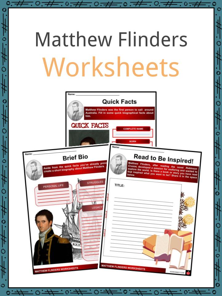
Matthew Flinders was an English navigator and explorer who became the first person to sail all around Australia and also gave the country its name. He produced the most accurate early chart or map of the country’s geography and much of its coast.
See the fact file below for more information on the Matthew Flinders or alternatively, you can download our 23-page Matthew Flinders worksheet pack to utilise within the classroom or home environment.
Key Facts & Information
EARLY LIFE AND CAREER
- Matthew was born on March 16, 1774 in Donington, Lincolnshire, England.
- He was the oldest of the seven children of Matthew Flinders Senior, a surgeon, and his wife Susannah, née Ward.
- He got a good education as it was thought that he would later be a surgeon, like his father and grandfather.
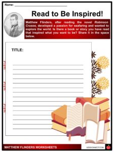
- However, after reading the novel Robinson Crusoe (a story of a sailor and his adventures), Flinders developed a passion for seafaring and wanted to explore the world.
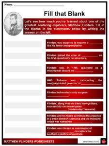
- Therefore, in 1789, aged 15, he joined the Royal Navy under the patronage of Captain Thomas Pasley.
- His first opportunity for adventure came in 1791. On Pasley’s recommendation, Flinders joined the crew of HMS Providence under Captain William Bligh on a voyage transporting breadfruit from Tahiti to Jamaica.
- While aboard the ship, Flinders learned more about navigation including tracking star patterns with tools like a compass, and he took lessons from Bligh on chart construction.
HMS RELIANCE
- Flinders sailed on several expeditions in the Caribbean, where he caught his superiors’ attention.
- Dedicated to his desire for adventure, he was appointed as a midshipman aboard the HMS Reliance in 1795.
- This vessel, which was transporting the newly-appointed governor of New South Wales, Captain John Hunter, sailed to Australia.
- On this voyage, Flinders established himself as a fine navigator and cartographer and befriended the ship’s surgeon George Bass who was three years his senior.
TOM THUMB
- After the HMS Reliance arrived on the continent, Bass and Flinders soon organized an expedition to survey coastal areas in hunt of harbors and rivers including safe anchorages for ships.
- In a small open boat named Tom Thumb, they explored places like the New South Wales coast, Port Jackson, and Botany Bay, and went inland on the Georges River.
CIRCUMNAVIGATION OF VAN DIEMEN’S LAND
- In 1798, along with his friend George Bass, they were successful to become the first sailors to circumnavigate Van Diemen’s Land (modern-day Tasmania) in the sloop Norfolk.
- They proved that Van Diemen’s Land was not part of the mainland but was its own island, and confirmed the presence of a strait between it and the mainland which was named the Bass Strait after his close friend. The largest island in the strait would later be named Flinders Island in his honor.
- Between October 1798 and January 1799, Flinders charted or mapped much of the geography from these trips.
- In March 1800, Flinders and the Reliance sailed back to England and arrived in Plymouth on August 27, 1800.
- After returning to England in 1800, Flinders published an account of his work, and the Admiralty decided that he should chart the whole coastline of New Holland (a historical European name for mainland Australia), first applied by Dutch seafarer Abel Tasman.
COMMAND OF INVESTIGATOR
- He was chosen as commander of HMS Investigator, and in July 1801, 3 months after his marriage, Flinders set sail for New Holland with instructions to explore the southern coastline of Australia. This expedition placed him among the world’s foremost navigators.
- He reached several places including Cape Leeuwin, southern Western Australia, late in 1801 and started mapping Australia’s ‘Unknown Coast’.
- His accurate and detailed maps were the result of his methodical practice of personally taking all bearings and turning back each day to where the previous day’s work had ended.
- With stocks running low, Matthew proceeded to Sydney.
- Arriving on May 9, 1802, the Investigator was re-supplied and refitted before he began his circumnavigation of the continent.
- He was accompanied by an Aboriginal translator, Bungaree, who had guided him on his earlier coastal survey in 1799.
- However, the vessel was leaking seriously as it reached the Gulf of Carpentaria.
- Matthew abandoned the charting work, but continued the circumnavigation to Sydney, arriving back into port in June 1803.
ATTEMPTED RETURN TO ENGLAND AND IMPRISONMENT
- Matthew decided to turn back to England on the HMS Porpoise to get another vessel to finish his surveying work, but the Porpoise struck on a reef off the coast of Queensland and sank.
- Matthew expertly sailed his cutter 1130 kilometers back to Sydney, arranged for the rescue of his wrecked shipmates, then sailed for England in a different leaky boat called the Cumberland.
- When this ship started to leak, he was forced to dock in Ile de France (now known as Mauritius) where the French governor, thinking he was a spy, arrested and detained him for six years.
- By this time, England was at war again with France.
- While being imprisoned, he worked on his papers and charts. In 1810, Matthew was released and permitted to return to England.
- On October 23, 1810, Matthew Flinders returned to England in poor health due to his time in captivity.
- However, he immediately resumed writing down his findings and finally completed his great work, A Voyage to Terra Australis.
- The book was published the day before his death on July 19, 1814.
- In it, Matthew was the earliest person to use the name ‘Australia’ consistently. Consequently, the term was gradually adopted.
LEGACY
- Matthew Flinders, who was the commander of the first circumnavigation of Australia, mapped the whole continent and gave it its name.
- His journals, maps, atlas, and countless drawings were important documents that contributed to the development of Australia.
- Flinders is honored all over the Australian states with statues praising his achievement of literally placing Australia on the map.
Matthew Flinders Worksheets
This is a fantastic bundle which includes everything you need to know about Matthew Flinders across 23 in-depth pages. These are ready-to-use Matthew Flinders worksheets that are perfect for teaching students about Matthew Flinders who was an English navigator and explorer who became the first person to sail all around Australia and also gave the country its name. He produced the most accurate early chart or map of the country’s geography and much of its coast.
Complete List Of Included Worksheets
- Matthew Flinders Facts
- Quick Acts
- Brief Bio
- Read to Be Inspired!
- Fill that Blank
- Significant Dates
- Travel Diary
- Mapping Australia
- Going Home Struggles
- Legacy of Flinders
- If I Navigate
Link/cite this page
If you reference any of the content on this page on your own website, please use the code below to cite this page as the original source.
Link will appear as Matthew Flinders Facts & Worksheets: https://kidskonnect.com - KidsKonnect, March 2, 2021
Use With Any Curriculum
These worksheets have been specifically designed for use with any international curriculum. You can use these worksheets as-is, or edit them using Google Slides to make them more specific to your own student ability levels and curriculum standards.