Premium
 Download
Edit
Download
Edit
Download the Regions of the United States Facts & Worksheets
Click the button below to get instant access to these worksheets for use in the classroom or at a home.
Download This Worksheet
This download is exclusively for KidsKonnect Premium members!
To download this worksheet, click the button below to signup (it only takes a minute) and you'll be brought right back to this page to start the download!
Sign Me Up
Edit This Worksheet
Editing resources is available exclusively for KidsKonnect Premium members.
To edit this worksheet, click the button below to signup (it only takes a minute) and you'll be brought right back to this page to start editing!
Sign Up
Not ready to purchase a subscription? Click to download the free sample version Download sample
Download This Sample
This sample is exclusively for KidsKonnect members!
To download this worksheet, click the button below to signup for free (it only takes a minute) and you'll be brought right back to this page to start the download!
Sign Me Up
Table of Contents
The United States of America consists of 50 states and one federal district. These states are then separated into five geographical regions: the Northeast, Southeast, Midwest, Southwest, and West, each having its distinct climate, economy, and population.
See the fact file below for more information on the Regions of the United States, or you can download our 33-page Regions of the United States worksheet pack to utilize within the classroom or home environment.
Key Facts & Information
REGIONS
- We classify regions based on their climate, geography, and location. The areas of the United States are so enormous that it can be challenging to identify where one state ends and another begins.
- Each region may have its own culture and accent. Southerners have the country’s most unique regional accent.
- The Northeast is America’s most populous area, followed by the Southeast. The Midwest, positioned between the East and West coasts, is noted for agriculture.
- The Southwest and West are the least populated area.
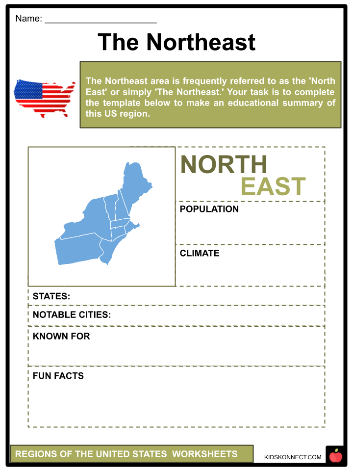
NORTHEAST
- The Northeast area is frequently referred to as the ‘North East’ or simply ‘The Northeast.’ This section contains some of the country’s most populous and heavily industrialized cities, including New York City, Philadelphia, and Boston.
- Based on per capita income and average household disposable income, the Northeast is one of the wealthiest regions of the United States.
- Pharmaceuticals, technology, and education are important businesses, although the service industry is quickly expanding.
- Tourism contributes significantly to the region’s income since many people visit New York annually.
- Popular brands such as Dunkin’ Donuts, Baskin-Robbins, and Krispy Kreme originated in this region.
- The Northeast also features some of the world’s best higher education institutions. Top students attend Harvard, Yale, and the Massachusetts Institute of Technology.
- Because of its dense population, excellent manufacturing capabilities, and first-rate infrastructure, the Northeast is home to some of the world’s major seaports.
- This region’s states include:
- Notable Cities: Boston, New York City, Philadelphia, and Baltimore
Weather/Climate
- This part of the country experiences all four seasons. The summers are hot and humid, and the winters are cold and snowy. In the autumn, the leaves change color. In the late summer, hurricanes can impact the coastlines.
SOUTHEAST
- The Mason-Dixon line, agreed upon in the 1760s, separated the North and South.
- States around this line, such as Maryland and Delaware, have a more northern climate, with cooler winters and less intense heat in the summer. Maryland and Delaware are also part of the Mid-Atlantic region.
- Agriculture has been the dominant industry in this area for a long time. Its good soil, flat terrain, and long growing season contribute to its high development potential.
- Farmers in this location may be able to grow crops throughout most of the year. Plants in this area include citrus, peaches, rice, cotton, tobacco, sugar cane, and peanuts, to name a few.
- Because of its temperature, beaches, and history, it is also a popular tourist destination. Its famous beaches are Siesta Key, Miami Beach, Myrtle Beach, and Hampton Beach.
- The Outer Banks of North Carolina act as the barrier islands off the east coast of the United States.
- This region has lower living expenses than the Northeast or West Coast, but it is more expensive than the rest of the South. The Southeast also has several national parks, including the Great Smoky Mountains National Park and the Everglades National Park.
- This region’s states include:
- Notable Cities: Atlanta, Tampa, Miami, New Orleans, Raleigh, and Charlotte
Weather/Climate
- The Southeast has a humid subtropical climate. Summers in the region is hot and humid, with warm to chilly winters. It receives plenty of rain all year. In the summer and fall, hurricanes are also prevalent.
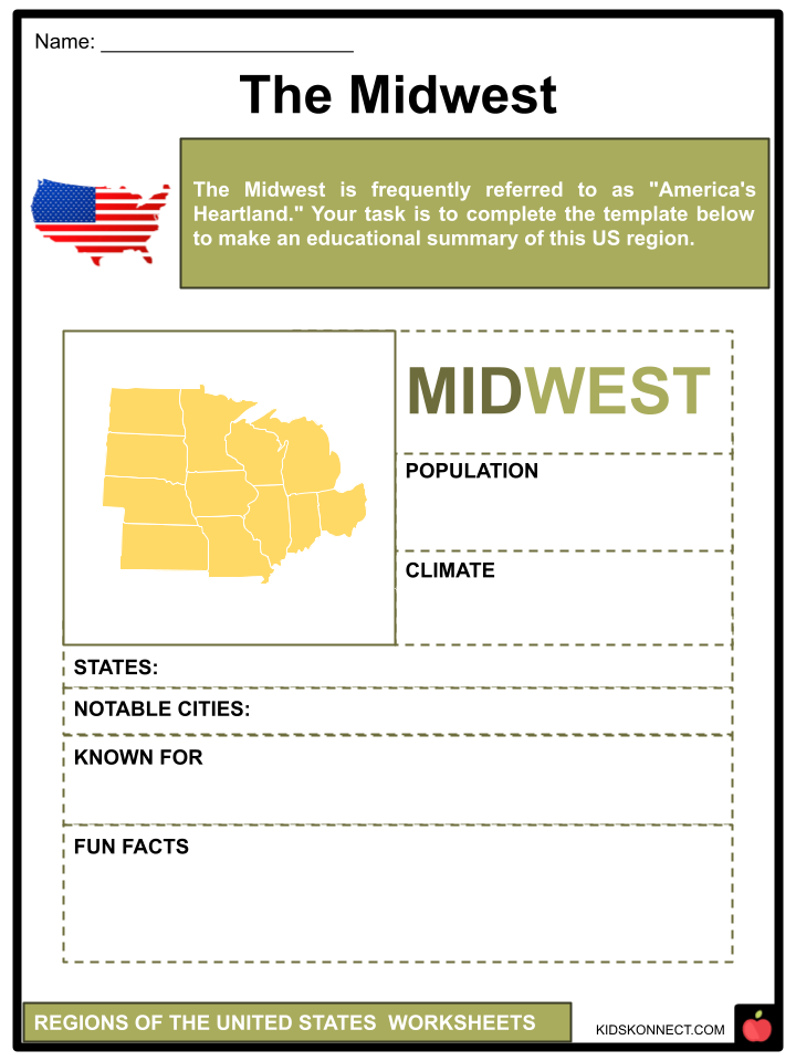
MIDWEST
- The Midwest is frequently referred to as “America’s Heartland.” Some of the country’s major cities, like Chicago and Minneapolis, are here.
- Agriculture and mining are prevalent in this region. Aside from the Great Lakes, which contain most of the region’s biodiversity, it also features essential habitats, including the Western Prairie and the Eastern Woodlands.
- The Midwest is located halfway between the Rocky Mountains and the Appalachian Mountains. It’s also located north of the Ohio River and the 37th parallel.
- This region has also produced breakthrough musical talents such as B.B. King, James Brown, The Jacksons, Prince, and Motown Music Studios.
- This region’s states include:
- Notable Cities: Minneapolis, Chicago, Cincinnati, Columbus, Cleveland, Detroit, and St. Louis
Weather/Climate Summers in this region is hot and humid. Winters are often chilly, with heavy snowfall. Tornado outbreaks are also common in the area.
SOUTHWEST
- The Southwest area has some stunning scenery, ranging from deserts to canyons and plateaus. This area is also famous for its ghost towns, once the dwellings of hardy pioneers who established the place.
- The Chaco Culture National Historical Park, Petrified Forest National Park, and Grand Canyon National Park are among the national parks in the Southwest.
- Popular tourist locations include Albuquerque, Phoenix, and Tucson. Another popular tourist destination is Sedona’s red sand, which was produced by the erosion of red rocks.
- Texas, one of the states in this region, is well-known for its thriving music culture. Music events such as Austin City Limits and South by Southwest are trendy.
- This region’s states include:
- New Mexico
- Arizona
- Oklahoma
- Texas
- Notable Cities: Phoenix, Oklahoma City, Dallas, Houston, Austin, and Salt Lake City
Weather/Climate
- Because most of this region is an arid desert, it is frequently hot and dry. Snow may be seen in the mountains at higher elevations.
WEST
- The majority of water in the Western states is utilized for agriculture. The West is rich in resource deposits, such as coal and uranium ore.
- This area is also a producer of oil and gas. The Alaska pipeline transports oil from Alaska’s North Slope to the market in Valdez.
- Many national parks are located in this region, including Glacier National Park, the Grand Canyon, Crater Lake National Park, Yellowstone National Park, and Bryce Canyon National Park.
- Silicon Valley, located in California, is one of the world’s busiest technology centers. This region has also had a significant impact on culture, particularly Hollywood and other types of media such as rock & roll and country music.
- While officially part of the West, Alaska, and Hawaii are physically separate. These two states are included in the non-continental United States.
- This region’s states include:
- Notable Cities: Los Angeles, San Francisco, Seattle, Honolulu, San Diego, Las Vegas, Denver, Billings, Phoenix, and Salt Lake City
Weather/Climate
- Most of the territory is desert, except the Northwest, which has considerable rain and rich flora. Summers are usually hot, although winters can range from warm to frigid, depending on the state.
- The weather in Colorado and Wyoming is chilly and snowy, while Southern California is heated all year. California is also prone to mudslides and earthquakes.
CENSUS MAP
- When we examine the five regions of the United States, we can observe how they differ. When we look at the Census map, we see just four areas of the United States, not five.
- The southern area has the most noticeable change on the Census Map. Instead of splitting the South into Southeast and Southwest regions, there is only one southern area.
- The census map highlights the Northeast’s regional subdivisions, such as the Mid-Atlantic and New England. The Midwest is divided into East North Central and West North Central.
- The South Atlantic, East South Central, and West South Central Divisions are located in the South. The Western states are defined by mountain and Pacific divides. California, Oregon, and Washington are West Coast Pacific States.
- Overall, the United States is vast and divided into regions and subdivisions. Climate, economic, and geographical changes can all be expected to vary depending on where you live.
US STATES AND THEIR REGION
| ABBREVIATION | STATE NAME | REGION |
| AL | ALABAMA | SOUTHEAST |
| AK | ALASKA | WEST |
| AZ | ARIZONA | SOUTHWEST |
| AR | ARKANSAS | SOUTHEAST |
| CA | CALIFORNIA | WEST |
| CO | COLORADO | WEST |
| CT | CONNECTICUT | NORTHEAST |
| DE | DELAWARE | NORTHEAST |
| FL | FLORIDA | SOUTHEAST |
| GA | GEORGIA | SOUTHEAST |
| HI | HAWAII | WEST |
| ID | IDAHO | WEST |
| IL | ILLINOIS | MIDWEST |
| IN | INDIANA | MIDWEST |
| IA | IOWA | MIDWEST |
| KS | KANSAS | MIDWEST |
| KY | KENTUCKY | SOUTHEAST |
| ABBREVIATION | STATE NAME | REGION |
| LA | LOUISIANA | SOUTHEAST |
| ME | MAINE | NORTHEAST |
| MD | MARYLAND | NORTHEAST |
| MA | MASSACHUSETTS | NORTHEAST |
| MI | MICHIGAN | MIDWEST |
| MN | MINNESOTA | MIDWEST |
| MS | MISSISSIPPI | SOUTHEAST |
| MO | MISSOURI | MIDWEST |
| MT | MONTANA | WEST |
| NE | NEBRASKA | MIDWEST |
| NV | NEVADA | WEST |
| NH | NEW HAMPSHIRE | NORTHEAST |
| NJ | NEW JERSEY | NORTHEAST |
| NM | NEW MEXICO | SOUTHEAST |
| NY | NEW YORK | NORTHEAST |
| NC | NORTH CAROLINA | SOUTHEAST |
| ND | NORTH DAKOTA | MIDWEST |
| OH | OHIO | MIDWEST |
| ABBREVIATION | STATE NAME | REGION |
| OK | OKLAHOMA | SOUTHWEST |
| OR | OREGON | WEST |
| PA | PENNSYLVANIA | NORTHEAST |
| RI | RHODE ISLAND | NORTHEAST |
| SC | SOUTH CAROLINA | SOUTHEAST |
| SD | SOUTH DAKOTA | MIDWEST |
| TN | TENNESSEE | SOUTHEAST |
| TX | TEXAS | SOUTHWEST |
| UX | UTAH | WEST |
| VT | VERMONT | NORTHEAST |
| VA | VIRGINIA | SOUTHWEST |
| WA | WASHINGTON | WEST |
| WV | WEST VIRGINIA | SOUTHWEST |
| WI | WISCONSIN | MIDWEST |
| WY | WYOMING | WEST |
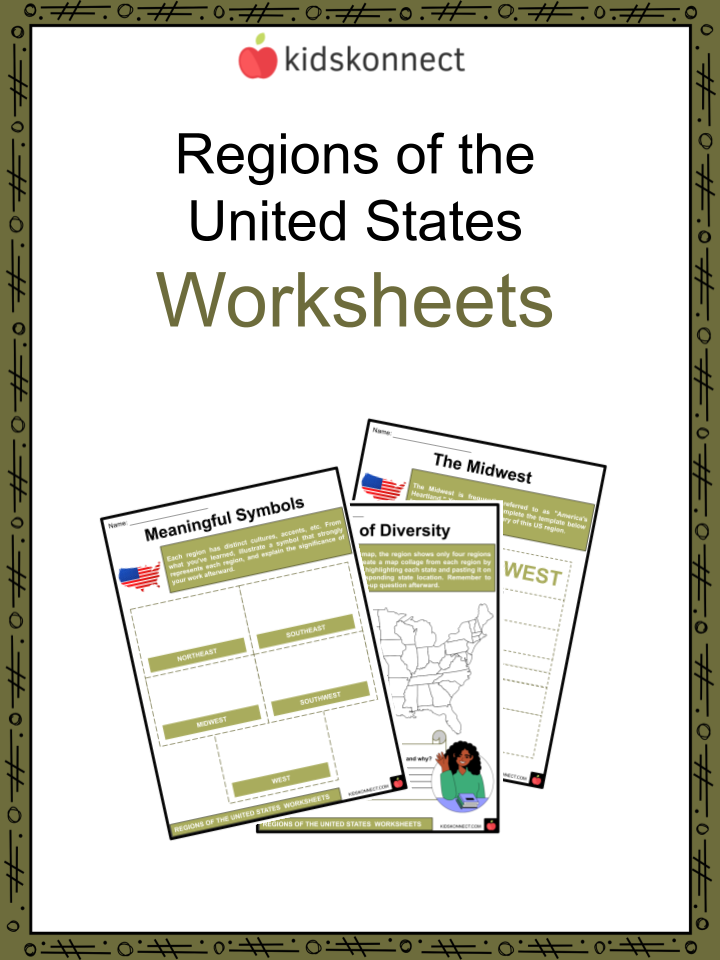
Regions of the United States Worksheets
This fantastic bundle includes everything you need to know about the Regions of the United States across 33 in-depth pages. These ready-to-use worksheets are perfect for teaching kids about the Regions of the United States. The United States of America consists of 50 states and one federal district. These states are then separated into five geographical regions: the Northeast, Southeast, Midwest, Southwest, and West, each having its distinct climate, economy, and population.
Complete List of Included Worksheets
Below is a list of all the worksheets included in this document.
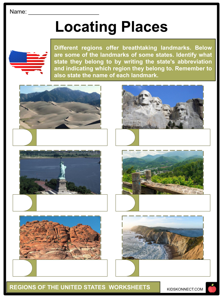
- Regions of the United States Facts
- Locating Places
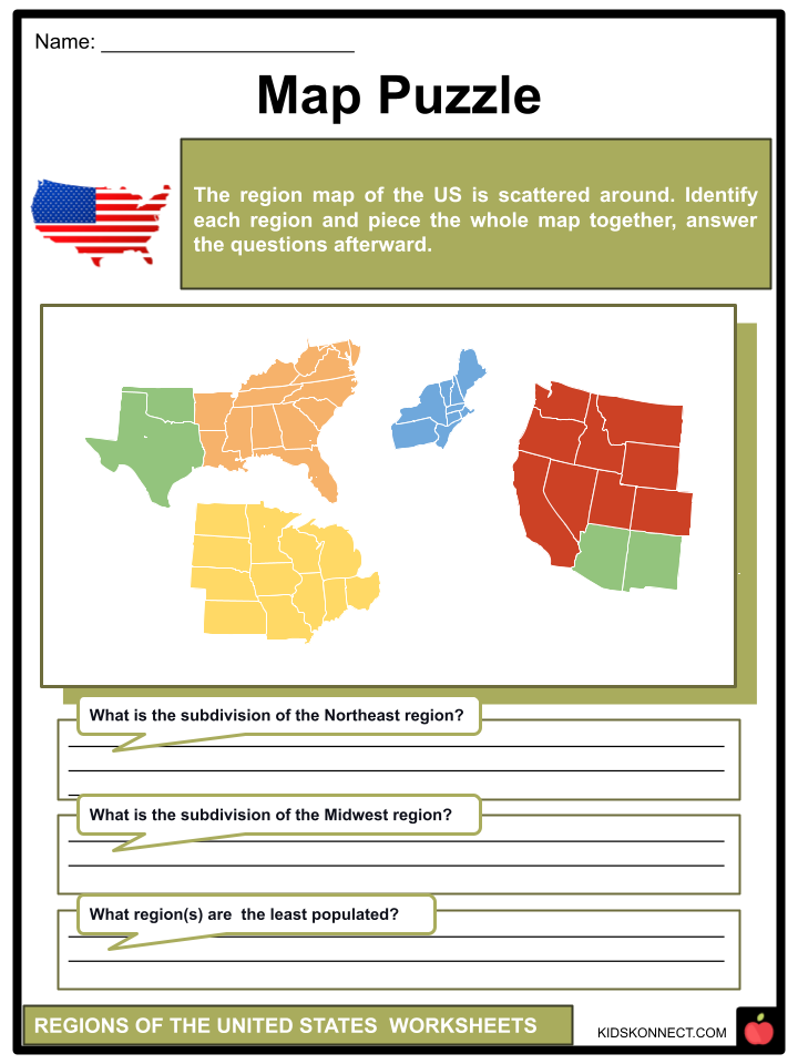
- Map Puzzle
- The Northeast
- The Southeast
- The Midwest
- The Southwest
- The West
- 50 US Stars
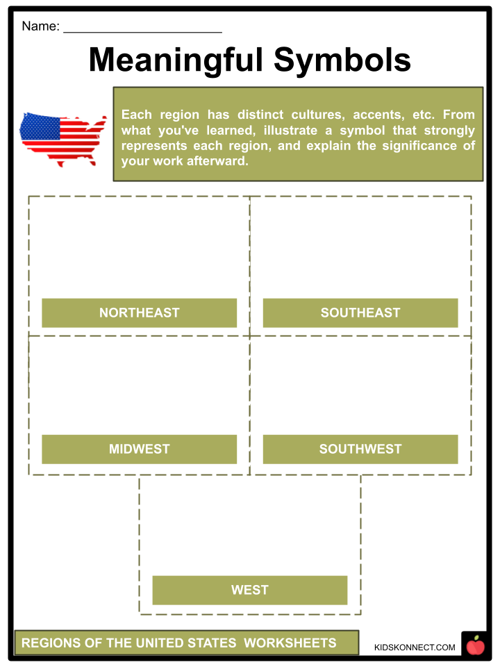
- Meaningful Symbols
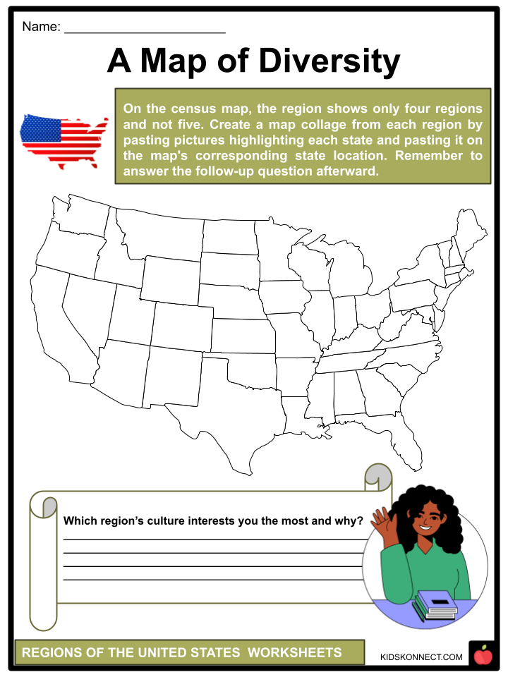
- A Map of Diversity
Frequently Asked Questions
What are the five regions of the United States?
The five regions of the United States are the Northeast, Southeast, Midwest, Southwest, and West.
What states are included in the Northeast region?
The Northeast region includes Maine, Vermont, New Hampshire, Massachusetts, Rhode Island, Connecticut, New York, New Jersey, Pennsylvania, Delaware, and Maryland.
What states are included in the Midwest region?
The Midwest region includes Ohio, Indiana, Illinois, Michigan, Wisconsin, Minnesota, Iowa, Missouri, North Dakota, South Dakota, Nebraska, and Kansas.
What states are included in the Southwest region?
The Southwest region includes Texas, Oklahoma, New Mexico, Arizona, and Nevada.
What states are included in the West region?
The West region includes Washington, Oregon, California, Alaska, and Hawaii.
Link/cite this page
If you reference any of the content on this page on your own website, please use the code below to cite this page as the original source.
Link will appear as Regions of the United States Facts & Worksheets: https://kidskonnect.com - KidsKonnect, February 16, 2023
Use With Any Curriculum
These worksheets have been specifically designed for use with any international curriculum. You can use these worksheets as-is, or edit them using Google Slides to make them more specific to your own student ability levels and curriculum standards.