Premium
 Download
Edit
Download
Edit
Download the Aral Sea Facts & Worksheets
Click the button below to get instant access to these worksheets for use in the classroom or at a home.
Download This Worksheet
This download is exclusively for KidsKonnect Premium members!
To download this worksheet, click the button below to signup (it only takes a minute) and you'll be brought right back to this page to start the download!
Sign Me Up
Edit This Worksheet
Editing resources is available exclusively for KidsKonnect Premium members.
To edit this worksheet, click the button below to signup (it only takes a minute) and you'll be brought right back to this page to start editing!
Sign Up
Not ready to purchase a subscription? Click to download the free sample version Download sample
Download This Sample
This sample is exclusively for KidsKonnect members!
To download this worksheet, click the button below to signup for free (it only takes a minute) and you'll be brought right back to this page to start the download!
Sign Me Up
Table of Contents
The Aral Sea, also known as the Kazakh Aral Tengizi and Uzbek Orol Dengizi, was a once-large saltwater lake in Central Asia. The shallow Aral Sea used to be the world’s fourth-largest inland body of water. Its remnants lie in the climatically hostile center of Central Asia, to the east of the Caspian Sea.
See the fact file below for more information about the Aral Sea, or you can download our 30-page Aral Sea worksheet pack to utilize within the classroom or home environment.
Key Facts & Information
HISTORICAL BACKGROUND
- Multiple episodes of sea-level rise and fall have been caused by climate change. Glacial melt rates at the river’s headwaters, as well as precipitation within the river basins, influence inflow rates from the Amu Darya and Syr Darya; cold, dry climates impede both processes.
- Water levels in the Aral Sea have fluctuated due to geological variations in the Amu Darya’s path between the Aral Sea and the Sarygamysh basins, as well as anthropogenic water removal from the Amu Darya and Syr Darya. Artificial irrigation systems date back to antiquity and persist to this day.
- During the Tang dynasty, the Aral Sea was part of the Chinese Empire’s western frontier. Muslim geographers such as Hafiz-i Abru described the disappearance of the Aral Sea in 1417 due to diversions in both the Amu Darya and the Syr Darya rivers.
GEOLOGY
- The Aral Sea depression originated near the peak of the Neogene Period (approximately 23 to 2.6 million years ago). During this time, the hole had been partly filled with water, some of which originated from the Syr Darya.
- The region appears to have dried up in the early and middle Pleistocene Epoch (around 2,600,000 to 11,700 years ago), only to be flooded once more sometime between the end of the Pleistocene and the early Holocene Epoch (i.e., after about 11,700 years ago)—the later instance initially caused by the Amu Darya, which had temporarily changed its course from the Caspian to the Aral Sea.
- Apart from a few brief dry spells between the third and first century BCE, the combined flows of the two rivers preserved a high water level in the sea until the 1960s
ECOLOGY
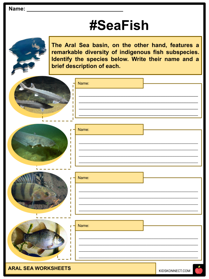
- Despite its previous grandeur, the Aral Sea has a low indigenous biodiversity. The Aral Sea basin, on the other hand, featured a remarkable diversity of indigenous fish subspecies. The majority of these species still exist in the North Aral Sea.
- However, some, such as sturgeons, have drastically decreased or perhaps driven extinct due to the lake’s shrinkage. Native fish species of the lake included ship sturgeon (Acipenser nudiventris), all three Pseudoscaphirhynchus sturgeon species, Aral trout, northern pike, ide, asp, common rudd, Turkestan barbel, Aral barbel, common bream, white-eyed bream, Danube bleak, ziege, crucian carp, common carp, Wels catfish, Ukrainian stickleback, zander, European perch, and Eurasian ruffe.
- All other native fish were also extinct except the stickleback, which survived the lake’s shrinkage and salinity increase.
- Many have returned to the North Aral Sea since its recovery in the 1990s.
- Following their recovery, the extinct species returned to the North Aral Sea. Herring, sand smelt, gobies, and flounder were all present in the South Aral Sea until increasing salt wiped them out.
- The Aral Sea contained various native bivalves, including representatives of the genera Dreissena, Hypanis, and the lagoon cockle. Theodoxus pallasi and a Caspiohydrobia member were among the indigenous gastropods.
- Because of the new fish species, the numbers of several of these invertebrates have substantially reduced. Later, after an unsuccessful attempt to transfer mullet from the Caspian Sea into the Aral, the rockpool shrimp (Palaemon elegans) was accidentally introduced into the sea. The shrimp is suspected of causing the extinction of the near-endemic amphipod Dikerogammarus aralensis, which today only exists in the Syr Darya basin.
- The copepod (Calanipeda aquae dulcis) has been introduced to the Aral to replace the zooplankton species lost due to the decline in the herring population, and the North American mud crab (Rhithropanopeus harrisii) was accidentally introduced as well.
- In contrast, only a few nematodes, rotifers, and parthenogenetic brine shrimp are found in the South Aral Sea. The future of aquatic creatures in all surviving Aral Sea fragments depends on future salinity fluctuations.
CLIMATE AND HYDROLOGY
- The climate of the Aral Sea region is desert-continental, with wide-ranging daily air temperatures. The yearly average precipitation rate of 4 inches, especially in the spring and autumn, is only a tiny fraction of the lake’s conventional evaporation rate.
- In the autumn and winter, northwesterly winds prevail, while westerly and southwesterly winds are typical in the spring and summer.
- Until the 1960s, the most important elements influencing the Aral Sea’s water balance were the rates of river input and water loss through evaporation, which used to take out roughly the same amount of water that the rivers brought each year. Water level changes have exceeded 20 feet over the millennia, with yearly and seasonal variations ranging from 10 feet to less than 1 foot.
PHYSIOGRAPHIC CHANGES
- In 1960, the Aral Sea’s surface was 175 feet above sea level and spanned approximately 26,300 square miles. The Aral Sea was over 270 miles long from north to south and slightly over 180 miles from east to west.
- Although the average depth was about 53 feet (16 meters), it dropped to a maximum of 226 feet (69 meters) off the western shore. Several huge bays indented the sea’s northern shoreline, which was steep in some places and low in others.
- The low-lying and uneven eastern coastlines were interrupted in the north by the massive Syr Darya delta and bordered in the south by a vast stretch of shallow water. The equally enormous Amu Darya delta stood on the lake’s southern side, while the practically continuous eastern margin of the 820-foot-high Ustyurt Plateau extended along the lake’s western periphery.
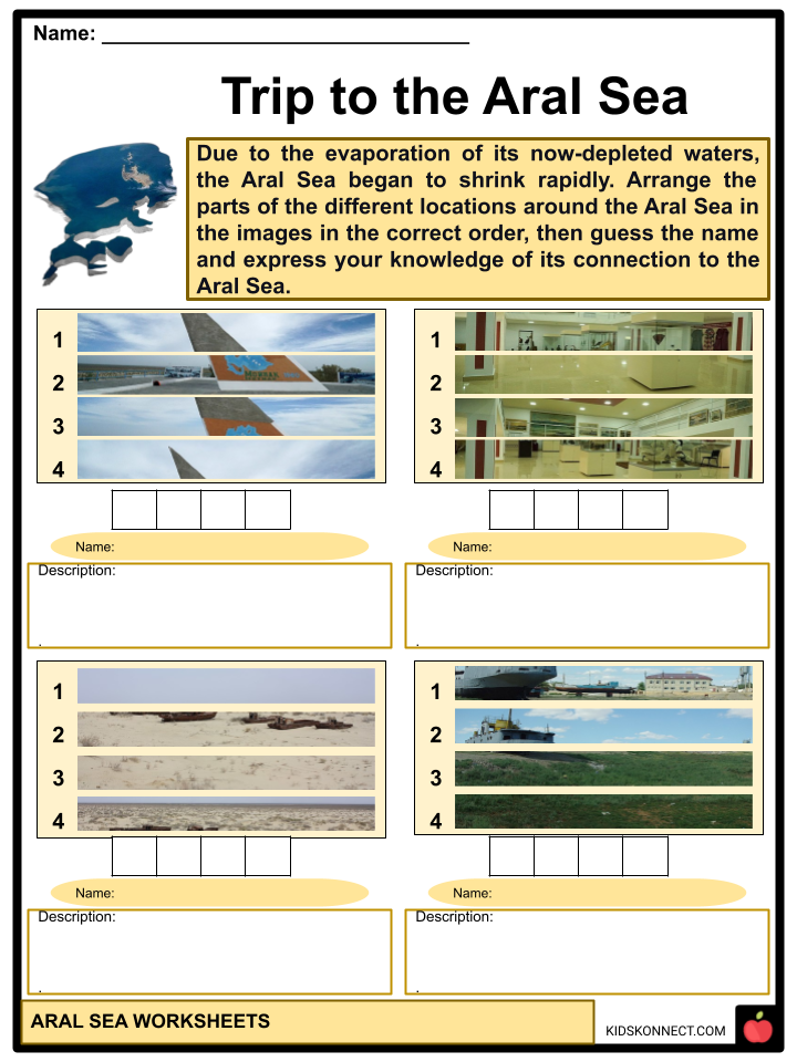
- Beginning around 1960, the water level of the Aral Sea progressively and dramatically decreased due to the diversion of water from the Amu Darya and Syr Darya rivers for agricultural irrigation purposes. By the 1980s, the two big rivers had nearly dried up before reaching the lake during the summer months. Due to the evaporation of its now-depleted waters, the Aral Sea began to shrink rapidly.
- The Aral Sea had receded into three different lakes by the end of the century: the Greater Sea had split into a long, narrow western lake and a more giant, broader eastern lake, with traces of the Lesser Sea to the north.
ENVIRONMENTAL CONSEQUENCES
- The rapid decrease of the Aral Sea caused several environmental issues in the region. Because of this, the lake’s salt and mineral content increased dramatically, rendering the water unsafe for drinking and killing off the lake’s once-abundant supply of sturgeon, carp, barbel, roach, and other species. As a result, the fishing business around the Aral Sea was virtually devastated.
- Aral in the northeast and Moynaq in the south were far from the lake’s edge. The areas near the lake’s previous shoreline were partially depopulated. The Aral Sea shrinking also caused the area’s climate to become notably harsher, with more intense winter and summer temperatures.
- Furthermore, people’s health costs in the area began to appear quickly after water levels dropped sufficiently to expose areas of the seafloor. The Karakalpaks, who dwell in the region’s south, were the hardest damaged.
- As a result, the residents of the area experienced extremely high rates of health problems, ranging from throat cancer to anemia and kidney illness, and the infant mortality rate in the region has been among the highest in the world.
Aral Sea Worksheets
This fantastic bundle includes everything you need to know about the Aral Sea across 25 in-depth pages. These ready-to-use worksheets are perfect for teaching kids about the Aral Sea. The Aral Sea, also known as the Kazakh Aral Tengizi and Uzbek Orol Dengizi, was a once-large saltwater lake in Central Asia. The shallow Aral Sea used to be the world’s fourth-largest inland body of water.
Complete List of Included Worksheets
Below is a list of all the worksheets included in this document.
- Aral Sea River Facts
- Fitting Words
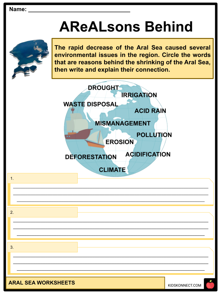
- AreALsons Behind
- Sea Neighborhood
- Give Me One!
- #SeaFish
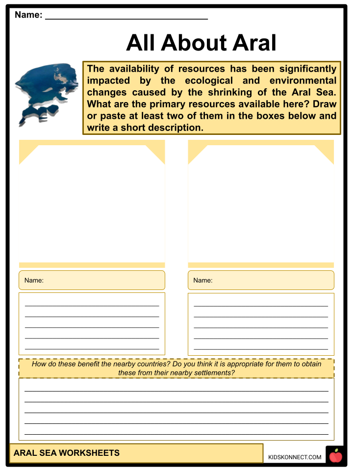
- All About Aral
- Write Your Thoughts!
- Trip to the Aral Sea
- More About the Aral Sea
- #HistoricalCatastrophe
Frequently Asked Questions
What is the Aral Sea?
The Aral Sea, located in Central Asia, was once one of the world’s largest inland bodies of water. It straddled the border between Kazakhstan and Uzbekistan and was fed by two major rivers, the Amu Darya and the Syr Darya.
Why has the Aral Sea been in the news in recent decades?
The Aral Sea has been in the news due to its dramatic shrinkage over the past few decades. The diversion of water from the Amu Darya and Syr Darya rivers for irrigation and agriculture, primarily in the Soviet era, led to a significant reduction in the sea’s size and volume. This has resulted in an environmental and ecological disaster for the region.
What are the environmental consequences of the Aral Sea’s shrinkage?
The shrinking of the Aral Sea has led to a range of environmental consequences, including the exposure of large areas of dry, salt-encrusted seabed, which produces dust storms carrying toxic salts and chemicals. It has also caused the disappearance of many native fish species, disrupted local ecosystems, and had negative impacts on the climate in the surrounding region.
How have efforts been made to address the Aral Sea crisis?
Efforts have been made to address the Aral Sea crisis, including projects to restore water flow from the Amu Darya and Syr Darya rivers, the construction of dams and reservoirs, and various conservation initiatives. International organizations and governments have been involved in these efforts to mitigate the environmental damage and improve the living conditions of local communities.
Has the Aral Sea shown any signs of recovery?
While there have been some modest improvements in recent years, such as the partial refilling of the northern Aral Sea due to restoration efforts, the overall situation remains challenging. The southern Aral Sea is still greatly reduced in size compared to its historical extent, and the region continues to face environmental and socioeconomic challenges as a result of the long-term damage caused by the Aral Sea’s shrinkage.
Link/cite this page
If you reference any of the content on this page on your own website, please use the code below to cite this page as the original source.
Link will appear as Aral Sea Facts & Worksheets: https://kidskonnect.com - KidsKonnect, November 29, 2023
Use With Any Curriculum
These worksheets have been specifically designed for use with any international curriculum. You can use these worksheets as-is, or edit them using Google Slides to make them more specific to your own student ability levels and curriculum standards.