Premium  Download Edit
Download the Caspian Sea Facts & Worksheets
Click the button below to get instant access to these worksheets for use in the classroom or at a home.
Download This Worksheet
This download is exclusively for KidsKonnect Premium members!
To download this worksheet, click the button below to signup (it only takes a minute) and you'll be brought right back to this page to start the download!
Sign Me Up
Edit This Worksheet
Editing resources is available exclusively for KidsKonnect Premium members.
To edit this worksheet, click the button below to signup (it only takes a minute) and you'll be brought right back to this page to start editing!
Sign Up
Not ready to purchase a subscription? Click to download the free sample version Download sample
Download This Sample
This sample is exclusively for KidsKonnect members!
To download this worksheet, click the button below to signup for free (it only takes a minute) and you'll be brought right back to this page to start the download!
Sign Me Up
Table of Contents
The world’s most extensive inland body of water is the Caspian Sea, also known as the Russian Kaspiyskoye More and the Persian Darya-ye Khezer. It is located west of the vast Central Asian steppe and east of the Caucasus Mountains. The ancient Kaspi peoples, who formerly inhabited Transcaucasia to the west, are the source of the sea’s name.
See the fact file below for more information on the Caspian Sea, or you can download our 34-page Caspian Sea worksheet pack to utilize within the classroom or home environment.
Key Facts & Information
OVERVIEW
- The historical terms of the region include Khazars, Khvalynsk, and Girkansk, which derive from the area’s previous inhabitants, and Girkanos, “Country of the Wolves.”
- Even though its average width is approximately 200 miles (320 km), the extended sea stretches for over 750 miles (1,200 km) from north to south.
- More than twice the size of Japan, it has a surface area of around 149,200 square miles (386,400 square kilometers) and is 90 feet (27 meters) below sea level.
- The most remarkable depth is 3,360 feet (1,025 meters) below the sea’s surface and is located south.
- The sea’s drainage basin comprises 3,625,000 square kilometers (1,400,000 square miles). One-third of Earth’s inland surface water, or 63,400,000,000 acre-feet, or 18,800 cubic miles, is found in the sea. Kazakhstan borders the sea on the northeast, Turkmenistan on the southeast, Iran on the south, Azerbaijan on the southwest, and Russia on the northwest.
- The Caspian is currently the world’s biggest salt lake, although this was only sometimes the case. According to scientific research, it was connected to the global ocean via the Sea of Azov, the Black Sea, and the Mediterranean Sea until relatively recent geologic ages, or around 11 million years ago.
- The history of the Caspian, notably previous oscillations in both area and depth, provides insights into the region’s intricate geology and climatic development.
- These factors make the Caspian of outstanding scientific significance.
- The massive Volga River system, which empties into the Caspian Sea from the north, has seen several alterations brought on by human activity, most notably the creation of dams, reservoirs, and canals.
- Caspian shipping, fishing, and Caspian basin oil and gas extraction significantly influence the region’s economy. Beautiful sandy beaches along the water are frequently used as resorts for health and enjoyment.
PHYSICAL FEATURES
- The northern Caspian coasts are low and represent a large deposit of alluvial material carried down by the Ural, Terek, and Volga rivers, which have vast deltas. The western shore of the Caspian Sea is hilly.
- The Greater Caucasus Mountains’ foothills loom close but are separated from the coast by a thin maritime plain.
- The Abşeron Peninsula in Azerbaijan, where Baku is located, protrudes into the sea.
- The Kura-Aras Lowland consists of the western side of the southern Caspian Sea and the floodplain of the Kura and Aras rivers.
- The southwest and south Caspian shores formed from sediments from the Länkäran and Gln-Mzandern plains, and the tall peaks of the Talish and Elburz ranges emerge close to the interior.
- Sediments from sea cliff erosion contribute to the southern Caspian’s low eastern shore’s elevation.
- Cheleken and Türkmenbashi peninsulas, which are calm and steep, provide a sharp break in the shoreline.
- The Kara-Bogaz-Gol (Garabogazköl) is situated close to the north, behind the middle Caspian’s eastern shore. It was formerly a narrow Caspian gulf but has since transformed into a vast lagoon-like embayment that is separated from the ocean by a man-made wall.
- The water has eroded the margin of the limestone plateaus of Tüpqaraghan and Kendirli-Kayasansk, leaving the eastern shore of the middle Caspian mostly made of rocks.
- The largest rivers, the Volga, Ural, and Terek, empty into the northern Caspian, accounting for approximately 88 % of all the river water entering the sea.
- The Samur, Kura, Sulak, and several smaller rivers pour into the Caspian on the western shore of the southern and middle Caspian, accounting for around 7% of the total flow into the sea. Rivers bring in the remaining on Iran’s southern coast.
- Aside from the Atrak (Atrek) River in south Turkmenistan, the sea’s barren eastern shore has no permanent streams.
SUBMARINE FEATURES
- The shallowest region of the Caspian Sea is the northern Caspian, which has an area of 38,380 square miles (99,404 square kilometers), with an average depth of 13 to 26 feet and a maximum depth of 66 feet at the Middle Caspian’s boundary.
- A line of southern bars and shoals that indicate underlying structural elevations and act as the bases for Tyuleny and Kulaly islands, as well as the Zhemchuzhny shoals, are the only features that break up the bottom’s monotonously undulating sedimentary plain.
- These features are located in the southernmost parts of the bottom.
- Beyond that stretch, known as the Mangyshlak Bank, the middle Caspian creates an irregular depression with a sharp western slope and a milder eastern gradient, covering 53,250 square miles (137,917 square kilometers).
- The shallowest part, a shelf with depths ranging from 330 to 460 feet (100 to 140 meters), runs along both coastlines, with the western slope furrowed by underwater landslides and canyons.
- On the gentler eastern slope, the remains of old river basins have been unearthed; the depression’s bottom consists of a plain that deepens to the west.
- The Abşeron Bank, a shoal and island belt rising from submerged elevations of older rocks, defines the transition to the southern Caspian, a depression of approximately 57,570 square miles (149,106 square kilometers).
- The depression is surrounded by a narrow shelf to the west and south but expands to the east. To the north, submerged ridges break up the relief, although the bottom of the depression is flat and includes the Caspian’s highest depths.
GEOLOGY OF THE CASPIAN SEA
- The Caspian Sea’s relief reflects its complicated geologic structure. The northern Caspian Sea bottom is ancient, dating back to the Precambrian period, or at least 541 million years. The north and middle Caspian Seas have a continental-type crustal structure.
- The northern segment is part of the north of the Caspian tectonic depression, a massive downwarp in the large ancient structural block known as the Russian Platform.
- The Mangyshlak Bank connects the steep Tüpqaraghan Peninsula to the east with underlying western shore formations, the remains of an outlying structural uplift of the Hercynian mountain-building process 300 million years ago.
- It has been proposed that the middle Caspian depression was caused by a drooping along the margin of such old buildings in late Paleozoic times, around 252 million years ago.
- The bottom of the middle Caspian is highly complicated. The undersea shelf to the west is part of the sagging edge of the Greater Caucasus Geosyncline (a downwarp of the Earth’s crust), while the submerged Turan Platform to the east swells up in the Kara-Bogaz (Garabogaz) Swell.
- The features of the Abşeron Peninsula region, as well as the folded structures on the western side of the southern Caspian depression, result from the Alpine mountain-building and folding processes that built the Caucasus ranges (26 to 10 million years ago).
- The border between the central and southern Caspian Seas is still collapsing.
- The entire south Caspian is supported by an ancient suboceanic-type basalt crustal structure. However, it is buried in the south by massive accumulations of sedimentary layers many miles thick.
- Until the late Miocene Epoch (approximately 13.8 million years ago), the Caspian Sea basin was linked to the Black Sea by the structural depression known as the Manych Trench (or Kuma-Manych Depression).
- The Caspian became an enclosed body during a late Miocene uplift, with oceanic subsurface characteristics surviving only in the southern Caspian today.
- The ocean connection was briefly reestablished in the early Pleistocene Epoch (approximately 2.6 million years ago), and there was also a link north over the Russian Plain to the Arctic Ocean’s Barents Sea.
- Glaciers have moved and receded across the Russian Plain since around 2 million years ago.
- At the same time, the Caspian Sea itself has shrunk and grown in consecutive stages known as Baku, Khazar, and Khvalyn.
- This activity left a legacy in peripheral terraces that define previous shorelines and can also be traced in the more recent geologically underlying sedimentary layers.
- Fine-grained sediments presently cover the bottom of the Caspian Sea in the shallow north. Still, shell deposits and oolitic sand—reflecting the high lime content of the Caspian waters—are prevalent in other coastal locations.
- The composition of the considerably deeper bottom layers is likewise influenced by calcium carbonate.
CLIMATE
- The northern Caspian has a moderate continental climate, but the center (and most of the southern) Caspian has warm continental weather. Subtropical influences influence the southwest, while the arid climate on the eastern shore adds to the extraordinary variation.
- The cold, clean air of the Asiatic anticyclone dominates atmospheric circulation in winter, while spurs of the Azores’ high-pressure and South Asian low-pressure centers are prominent in summer.
- The cyclonic disturbances coming in from the west and the Caucasus Mountains’ proclivity to obstruct them complicate matters.
- Northerlies and north westerlies (almost one-third of all occurrences) and south easterlies (more than one-third) dominate circulation patterns due to these causes. Northerly and southeasterly winds are related to violent storms.
- Summer air temperatures are pretty equally spread, with average July to August figures ranging between 75 and 79 °F (24 and 26 °C), with a maximum of 111 °F (44 °C) on the sunbaked eastern shore—but winter monthly average temperatures range from 14 °F in the north to 50 °F in the south.
- Over the sea, the east receives the least precipitation (8 inches on average per year), while the southwest receives the most. The sea surface evaporation rate is considerable, reaching 40 inches (1,015 mm) annually.
- Ice formation affects the northern Caspian, which usually freezes entirely by January. Ice that floats along the western shore can reach as far south as the Abşeron Peninsula in icy years.
HYDROLOGY
- Short-term wind-induced sea-level changes can reach 7 feet (2 meters), with an average of about 2 feet (60 cm). Seiches (free or standing-wave oscillations of the sea surface induced primarily by winds and local variations in air pressure) are usually less noticeable.
- Tidal fluctuations are only a few inches (or centimeters), while seasonal elevations in rivers caused by high spring water are not much greater.
- One of the most intriguing elements of Caspian research has been the reconstruction of long-term variations across time using archaeological, geological, and historical evidence.
- The Caspian Sea’s water level appears to have changed by at least 23 feet (7 meters) since the first century BCE. Long-term oscillations are primarily caused by climatic changes, which set a balance between water gains (river intake and precipitation) and losses (evaporation).
- The Caspian Sea level was close to 86 feet (26 meters) below sea level throughout the first three decades of the twentieth century, but it sank to 96 feet (29 meters) in 1977, the lowest level recorded in the previous 400 to 500 years.
- A rapid rise in water level began in 1978; by the mid-1990s, the sea was 87 feet (26.5 meters) below sea level. However, after 1995, the sea’s water level decreased significantly, only to rebound in the early twenty-first century.
- The drop from 1929 to 1977 was due to climatic changes that increased evaporation and reduced river influx, exacerbated by reservoir construction on the Volga to supply river water for irrigation and industries.
- The rise in water level after 1978, partly caused by climate change, increased the inflow from the Volga significantly higher than typical in some years.
- The phenomenon was further aided by an increase in precipitation over the sea and a decrease in evaporation.
- Soviet hydrologists stopped the outflow into the Kara-Bogaz-Gol lagoon in 1980 by building sand barricades between the Caspian and the lagoon.
- Other approaches for stabilizing the Caspian’s water level have received substantial consideration from planners.
- The average surface temperature of the Caspian in July ranges from 75 to 79 °F (24 to 26 °C), with the south slightly warmer. Winter temperatures range from 32 to 45 °F (0 to 7 °C) in the north to 46 to 50 °F in the south.
- Deep ocean upwellings along the eastern shore, caused by prevailing wind activity, can also cause a significant reduction in summer temperature.
- The average salinity in the Caspian is roughly 12.8 parts per thousand.
- The range between this number and the Kara-Bogaz-Gol, where significant evaporation, is 1 part per thousand close to the Volga exit to 200 parts per thousand. Salinity distribution in the open sea is highly uniform, increasing by only 0.1 to 0.2 parts per thousand from the surface to the bottom.
- Caspian waters differ from ocean waters because they have a high sulfate, calcium, and magnesium carbonate concentration and a reduced chloride content due to river influx.
- Water masses circulate in a counterclockwise direction (north-to-south along the western shore), with a more complex pattern forming further south, with multiple subsidiary motions.
- Currents can be accelerated where they meet strong winds, and the sea surface is frequently ruffled by wave movement. Maximum storm waves have been observed at more than 30 feet (9 meters) at the Abşeron Peninsula.
LIFE IN THE SEA
- Around 850 animal and plant species can be found in the Caspian Sea. Although the number of species is deficient for such a small body of water, many are endemic (found only there).
- Blue-green algae (cyanobacteria) and diatoms have the highest biomass densities, with many red and brown algae species also present.
- Fish species such as sturgeon, herring, perch, pike, and sprat have been substantially impacted by salinity variations, as have various mollusk species and a range of other organisms such as sponges.
- The native fauna is complemented by 15 Arctic (e.g., the Caspian seal) and Mediterranean species. Some creatures have lately moved to the Caspian: barnacles, crabs, and clams, for example, were delivered by sea vessels, while humans purposefully introduced gray mullets.
ECONOMY
Resources
- The Caspian Sea has long been known for its sturgeon, a fish coveted for its caviar, and the sea accounts for the vast majority of global capture.
- The sturgeon population declined significantly throughout the period (1929-77) due to declining water levels and subsequent drying of the best breeding habitats.
- To improve the situation, a variety of initiatives have been implemented, including the prohibition of open-sea sturgeon fishing and the introduction of aquaculture.
- The northern regions have also established a seal business, primarily for furs.
- Petroleum and natural gas have emerged as the most critical resources in the region. Exploitation began in the 1920s and grew significantly after World War II, continuing into the twenty-first century.
- Drilling platforms and artificial islands are used to recover seabed oil.
- The most potential reserves are found beneath the Caspian Sea and its coasts. Minerals collected from the Kara-Bogaz-Gol, such as sodium sulfate, are also economically significant.
Study and exploration
- On the initiative of Peter I (Peter the Great), scientific research of the Caspian Sea began in the 18th century.
- The Russian Academy of Sciences released the first maritime report in 1720.
- The earliest nautical charts and an atlas of the sea were both published in 1731 as part of nautical surveyor Fedor Soimonov’s report on the sea. The Russian navy conducted a hydrographic investigation of the Caspian basin, primarily accomplished in the second half of the nineteenth century.
- The essential measurements of the sea’s surface level began in Baku in 1830 and are presently carried out in over 20 locations.
- The first multidisciplinary examinations of the Caspian Sea (hydrologic, chemical, and biological) were carried out during expeditions headed by Russian naturalist Nikolai M. Knipovich (1904, 1912-13, and 1914-15).
- In the 1920s, regular hydrometeorological observations were initiated. The Caspian Maritime Scientific Council is currently in charge of maritime investigations.
- Essential programs investigate long-term oscillations in the sea’s regime and water level, protect the marine environment, and preserve the sea’s biological productivity and unique natural features.
- With the disintegration of the Soviet Union and the emergence of regional political disputes in the 1990s, no vital research was conducted.
- However, scientific studies had begun to address the region’s environmental challenges by the early twenty-first century.
Caspian Sea Worksheets
This fantastic bundle includes everything you need to know about the Caspian Sea across 34 in-depth pages. These ready-to-use worksheets are perfect for teaching kids about the Caspian Sea. It is located west of the vast Central Asian steppe and east of the Caucasus Mountains. The ancient Kaspi peoples, who formerly inhabited Transcaucasia to the west, are the source of the sea’s name.
Complete List of Included Worksheets
Below is a list of all the worksheets included in this document.
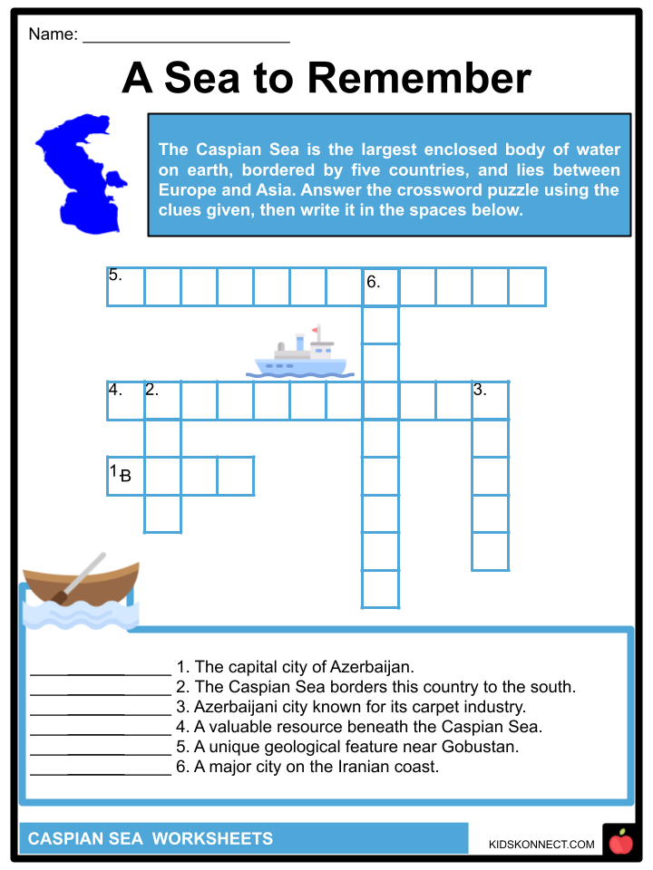
- Caspian Sea Facts
- A Sea to Remember
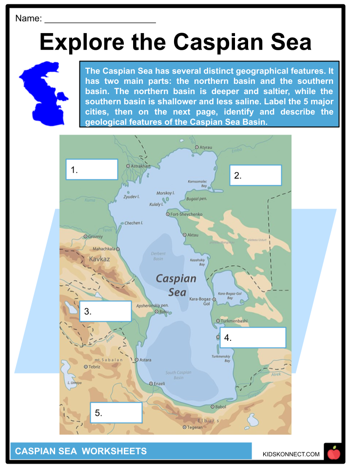
- Explore the Caspian Sea
- Diving into the Sea
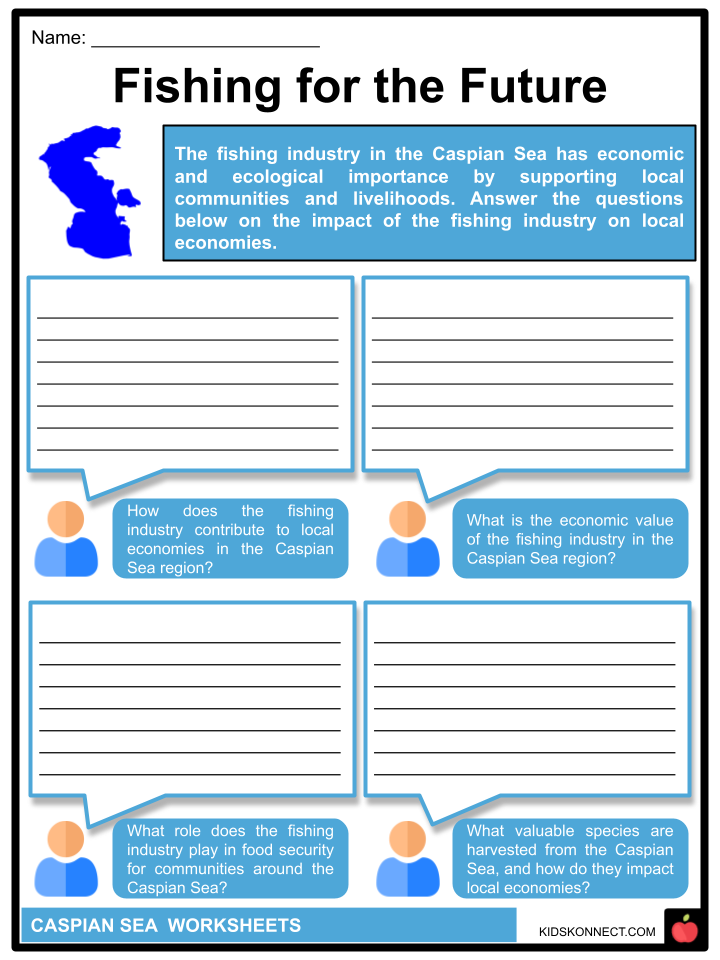
- Fishing for the Future
- Saving the Caspian
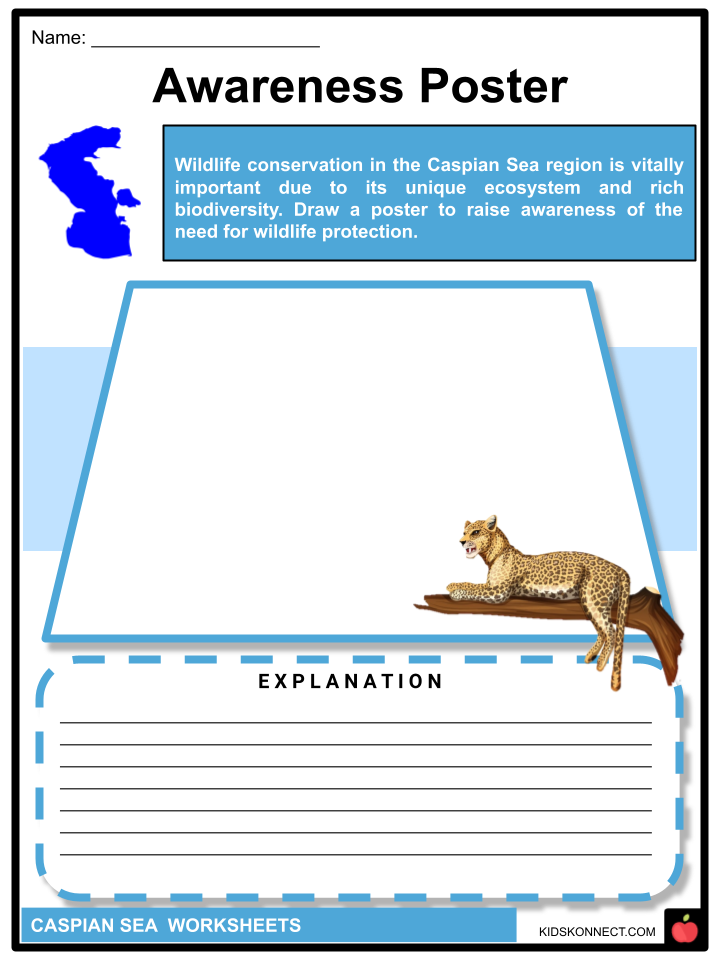
- Awareness Poster
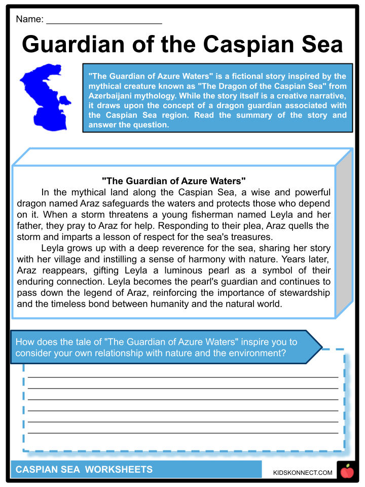
- Guardian of the Caspian Sea
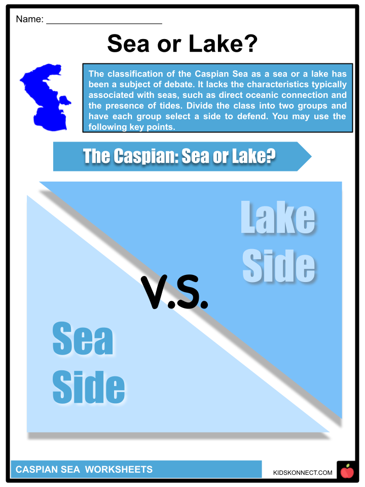
- Sea or Lake?
- Trip to Remember
- Cook Caspian
Frequently Asked Questions
Is the Caspian Sea the largest lake or a sea?
The Caspian Sea is often referred to as the world’s largest enclosed inland body of water. While it is called a “sea,” it does not have direct access to the world’s oceans and is technically the world’s largest saltwater lake.
Which countries border the Caspian Sea?
The Caspian Sea is bordered by five countries: Russia to the north, Kazakhstan to the northeast, Turkmenistan to the southeast, Iran to the south, and Azerbaijan to the southwest.
What is the main source of freshwater inflow into the Caspian Sea?
The primary source of freshwater inflow into the Caspian Sea comes from the Volga River, which flows into the northern part of the sea. Other smaller rivers and streams also contribute to its freshwater input.
What is the Caspian Sea’s significance in terms of energy resources?
The Caspian Sea is known for its substantial energy resources, including oil and natural gas reserves. Several countries in the region, particularly Kazakhstan and Azerbaijan, have developed oil and gas industries along the Caspian coast, making it an important area for energy production.
Is the Caspian Sea’s water level constant, or does it change over time?
The water level of the Caspian Sea can fluctuate over time due to various factors, including changes in precipitation, evaporation rates, and the regulation of water flow from rivers. Over the years, it has experienced both rising and falling water levels, impacting the surrounding ecosystems and communities.
These questions and answers provide an overview of the Caspian Sea, its geographical features, countries bordering it, economic significance, and its unique status as a large saltwater lake.
Link/cite this page
If you reference any of the content on this page on your own website, please use the code below to cite this page as the original source.
Link will appear as Caspian Sea Facts & Worksheets: https://kidskonnect.com - KidsKonnect, October 4, 2023
Use With Any Curriculum
These worksheets have been specifically designed for use with any international curriculum. You can use these worksheets as-is, or edit them using Google Slides to make them more specific to your own student ability levels and curriculum standards.


