Premium
 Download
Edit
Download
Edit
Download the Lake Michigan Facts & Worksheets
Click the button below to get instant access to these worksheets for use in the classroom or at a home.
Download This Worksheet
This download is exclusively for KidsKonnect Premium members!
To download this worksheet, click the button below to signup (it only takes a minute) and you'll be brought right back to this page to start the download!
Sign Me Up
Edit This Worksheet
Editing resources is available exclusively for KidsKonnect Premium members.
To edit this worksheet, click the button below to signup (it only takes a minute) and you'll be brought right back to this page to start editing!
Sign Up
Not ready to purchase a subscription? Click to download the free sample version Download sample
Download This Sample
This sample is exclusively for KidsKonnect members!
To download this worksheet, click the button below to signup for free (it only takes a minute) and you'll be brought right back to this page to start the download!
Sign Me Up
Table of Contents
Lake Michigan is the third largest of the Great Lakes (by water surface area) and the only Great Lake within the United States. It is the second-largest Great Lake by volume (1,180 cubic miles (4,900 km3)) and the third largest by surface area (22,404 sq mi (58,030 km2)). Its name is from the Ojibwa Indian word mishigami, which means huge lake.
See the fact file below for more information on Lake Michigan, or you can download our 32-page Lake Michigan worksheet pack to utilize within the classroom or home environment.
Key Facts & Information
Discovery of Lake Michigan
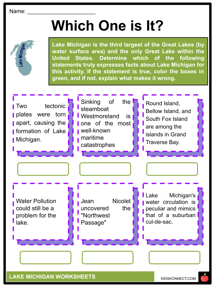
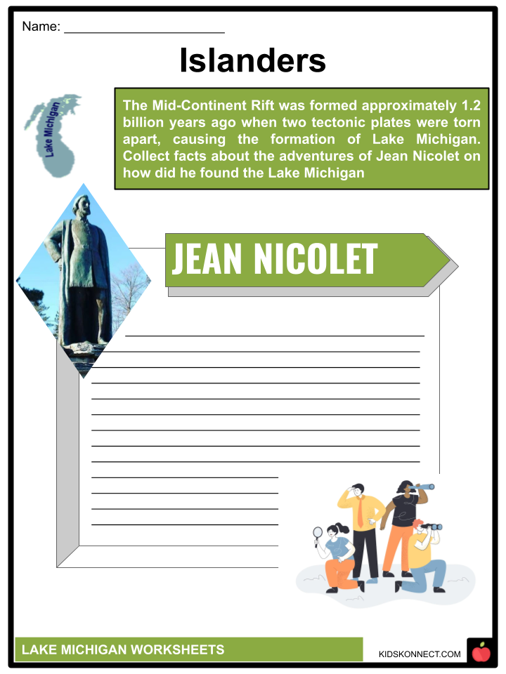
- The Mid-Continent Rift was formed approximately 1.2 billion years ago when two tectonic plates were torn apart, causing the formation of Lake Michigan.
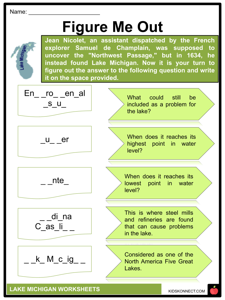
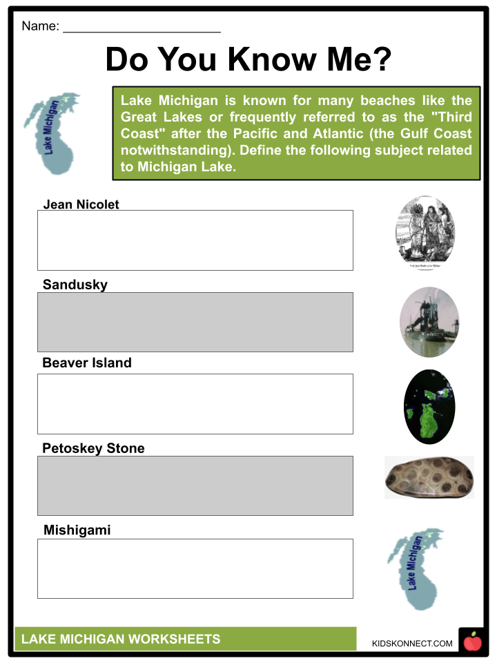
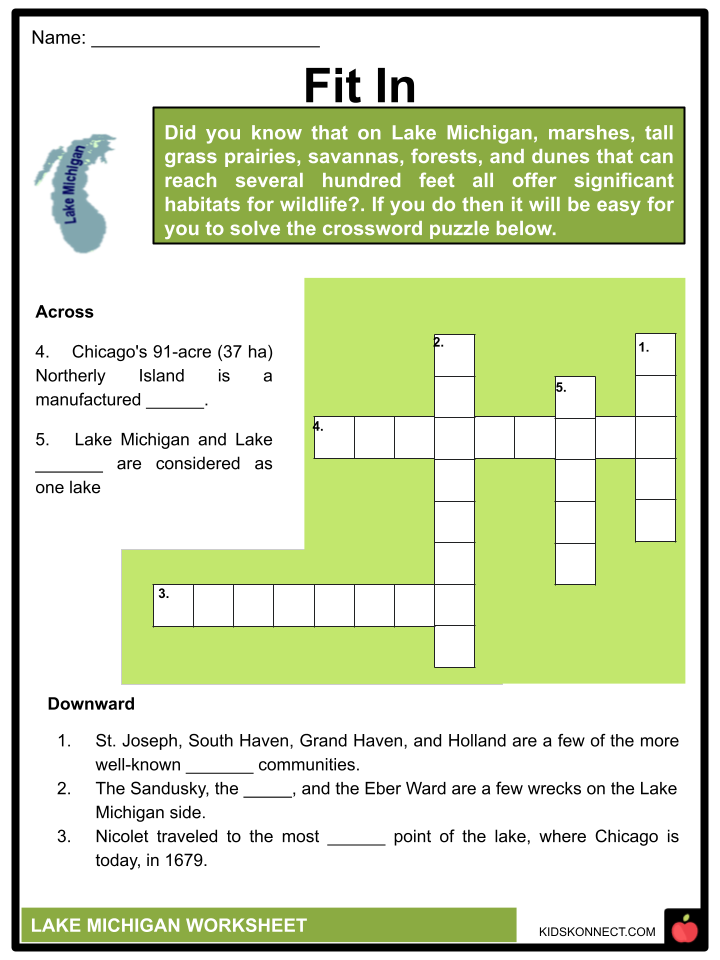
- Jean Nicolet, an assistant dispatched by the French explorer Samuel de Champlain, was supposed to uncover the “Northwest Passage,” but in 1634, he instead found Lake Michigan. Nicolet traveled to the most southern point of the lake, where Chicago is today, in 1679.
- One of North America‘s five Great Lakes is Lake Michigan.
- Lake Michigan and Lake Huron are one lake because they are joined at the northern end by the 4- to 5-mile (4.6 to 8-kilometer)-wide Straits of Mackinac.
- The water surface area of Lake Michigan is 22,300 square miles (57,800 square kilometers). By volume, it is the second-largest Great Lake (4,920 cubic kilometers/1,180 cubic miles).
- Indiana, Illinois, Michigan, and Wisconsin are all bordered by Lake Michigan.
- The New World Encyclopedia estimates that 12 million people reside along the Lake Michigan shoreline. Chicago, Illinois (2.7 million), Milwaukee, Wisconsin (600,000), Green Bay, Wisconsin (104,000), and Gary, Indiana are also significant port cities (80,000).
Dunes
- There are numerous beaches along the coastline, and the Great Lakes are frequently referred to as the “Third Coast” after the Pacific and Atlantic (the Gulf Coast notwithstanding).
- On the Michigan side of the lake, St. Joseph, South Haven, Grand Haven, and Holland are a few of the more well-known “beach” communities.
- The greatest freshwater dune system in the world is on the east shore of Lake Michigan.
- The dunes rise a hundred feet above the lake’s surface at various points along the shoreline.
- Along the Indiana and Michigan shoreline, numerous state parks, national forests, and national parks feature significant dune formations.
Problems in the Lake
- Environmental issues could still be a problem for the lake. Near the Indiana coastline, there are steel mills and refineries. According to the Chicago Tribune, BP is a significant polluter because its oil refinery in Whiting, Indiana discharges tens of thousands of pounds of raw sludge daily into the lake. More than 1,600 US gallons (6,100 l) of oil were spilled into the lake in March 2014 at BP’s Whiting plant.
Hydrology
- Historic High Water: The lake level varies monthly, usually reaching its highest point in the summer.
- The typical high-water mark is two feet above the datum (0.61 meters) (577.5 ft or 176.0 m).
- Lakes Michigan and Huron rose to their maximum point in October 1986, measuring 5.92 feet (1.80 m) above datum. In 2020, the two lakes broke the monthly average high-water records repeatedly.
- Historic low water lake levels typically drop to their lowest during the winter.
- The usual low-water mark is one foot (30 cm) below the datum (577.5 ft or 176.0 m).
- Lakes Michigan and Huron’s lowest level was 1.38 feet (42 cm) below datum during the winter of 1964. Monthly low-water records were also set every month from February 1964 to January 1965, like the high-water records.
- Water levels varied from 1.38 to 0.71 feet (42-22 cm) below Chart Datum for these 12 months. The lakes surpassed the historical low point in January 2013.
- Lake Michigan’s monthly mean water levels fell to the lowest of 576.2 feet (175.6 m) in January 2013, marking the lowest ebb since records first began to be kept in 1918.
Connection to the Ocean and Open Water
- Saint Lawrence Seaway and Great Lakes Waterway were built in the late 20th century, opening the Great Lakes to ocean-going ships.
- However, the later-developed, broader ocean-going container ships cannot go through the locks on these routes, restricting shipping on the lakes.
- Lake freighters are used on lakes that are too big to enter the ocean through the waves.
- Despite being extremely big, the Great Lakes have significant wintertime freezing, which prevents most shipping. A few icebreakers operate on the lakes.
- The Illinois Waterway runs from Lake Michigan through the Illinois River and Mississippi River to the Gulf of Mexico.
- There is a lot of commercial tug and barge traffic on these waterways.
- Hudson River and the Erie Canal in New York are two waterways that allow pleasure boats to enter or leave the Great Lakes. The east end of Lake Erie and the south side of Lake Ontario is where the Erie Canal joins the Great Lakes.
Water Temperature
- In July and August, the water temperature on Lake Michigan reaches the 60°F , and it occasionally reaches the 70°F after several days of consistently high air temperatures.
- Lake Michigan’s water circulation is peculiar and mimics that of a suburban cul-de-sac. It also goes very slowly.
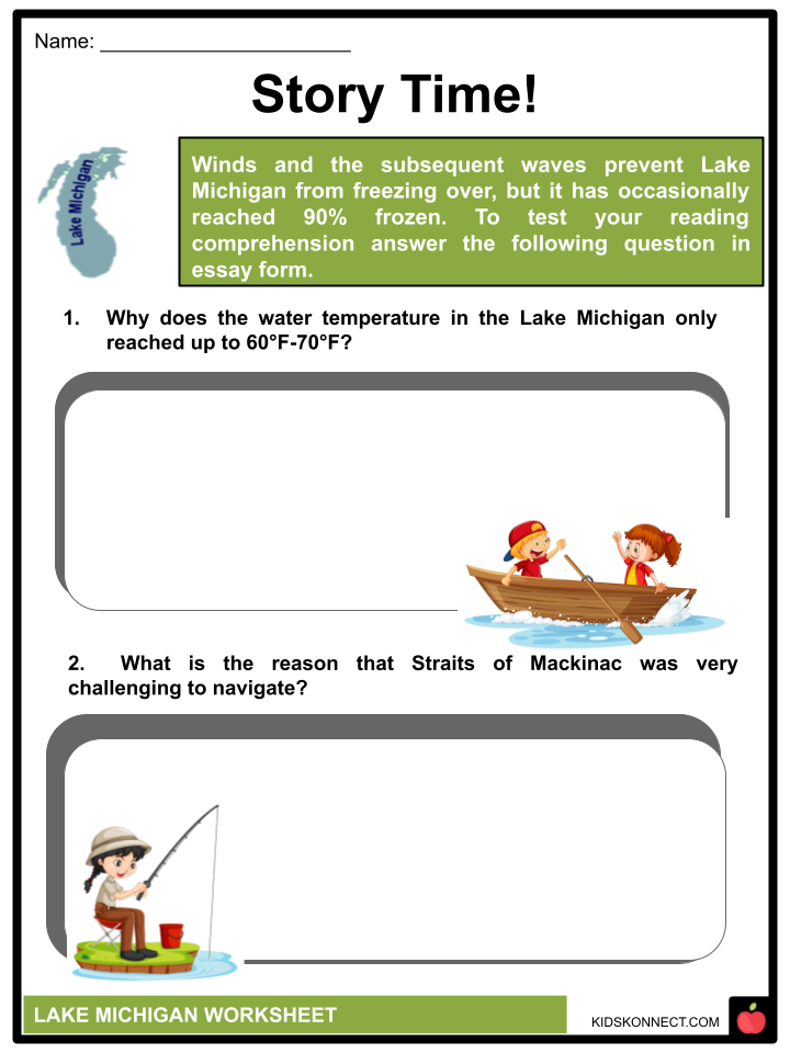
- Winds and the subsequent waves prevent Lake Michigan from freezing over, but it has occasionally reached 90% frozen.
- The coast may see a sharp fluctuation in temperature during ocean-like swells, coastline erosion, and challenging navigation, especially during the winter.
- The lake’s highest depth is 925 feet (282 meters), while its average depth is 279 feet (85 meters).
Shipping and Shipwrecks
- Lake Michigan has experienced its fair number of shipwrecks, much like the other Great Lakes. The sinking of the steamboat Westmoreland on December 7, 1854 is one of the most well-known maritime catastrophes. July 7, 2010, 155 years after the mishap, a diver found the wreck in great shape.
- The Straits of Mackinac could be challenging to navigate until radar was developed in the 1940s.
- The ships were at the mercy of unpredictable storms, dangerous currents, fog, ice, shallow places, and hazardous shoals.
- A few ships perished while attempting to navigate this narrow strait.
- There were so many that an underwater preserve was subsequently established so divers could study these sunken ships.
- There are 12 recognized shipwrecks in this park, also known as the Straits of Mackinac Underwater Preserve.
- The Sandusky, the Maitland, and the Eber Ward are a few wrecks on the Lake Michigan side.
- The Sandusky, the oldest known ship in the preserve, was struck by a fierce gale in September 1856 as it was sailing from Chicago to Buffalo with a load of grain, according to the preserve’s website. There were no survivors.
- The Maitland was traveling from Chicago to Buffalo in June 1871 with a cargo of corn when she collided with two other ships.
- Because the crew managed to leap into their yawl boat, everyone survived.
- The 213-foot (65-meter) wooden freighter Eber Ward left Chicago in 1909 en route to Port Huron when it was pierced by ice, sank within 10 minutes, and took the lives of five crew members.
Islands
- Lake Michigan’s largest island is Beaver Island, at 55.8 square miles (145 km2). It also includes Garden Island, Grape Island, Gull Island, Hat Island, High Island, Hog Island, Horseshoe Island, Little Island, Pismire Island, Shoe Island, Squaw Island, Trout Island, and Whiskey Island.
- The archipelago is in Charlevoix County, Michigan. Additionally located in Charlevoix County is Fisherman’s Island.
- North Fox Island and South Fox Island make up the Fox Islands in the Michigan county of Leelanau.
- North Manitou Island and South Manitou Island make up the Manitou Islands in Leelanau County, Michigan.
- Bassett Island, Bellow Island, and Power Island are among the islands in Grand Traverse Bay.
- In Delta County, Michigan, there are several islands south of the Garden Peninsula: Gravelly Island, Gull Island, Little Gull Island, Little Summer Island, Poverty Island, Rocky Island, St. Martin Island, and Summer Island.
- Round Island, St. Vital Island, and Snake Island are some of the islands in Big Bay de Noc in Delta County, Michigan.
- Butlers Island and Sand Island are two islands in Little Bay de Noc in Delta County, Michigan.
- Waugoshance Island and Temperance Island are in Michigan’s Wilderness State Park in Emmet County. Emmet County also includes Ile Aux Galets.
- The islands of Epoufette, Michigan, Gravel, Little Hog, and Naubinway, Michigan, are situated in Mackinac County, Michigan, near Epoufette and Naubinway.
- In the neighborhood of the Mackinac Bridge in Mackinac County, Michigan, are Green Island and St. Helena Island.
- Chambers Island, Fish Island, Gravel Island, Spider-Island, Horseshoe Island, the Sister Islands, Detroit Island,Green Island, Hog Island, Pilot Island, Plum Island, Rock Island, the Strawberry Islands, and Washington Island are islands that surround Wisconsin’s Door Peninsula. Due to the Sturgeon Bay Ship Canal, the peninsula’s northern half can be considered an island.
- Chicago’s 91-acre (37 ha) Northerly Island is a manufactured peninsula. The Adler Planetarium resides there, Meigs Field originally stood there, and the summertime temporary concert venue Huntington Bank Pavilion is currently located there.
Life on Lake Michigan
- On Lake Michigan, marshes, tall grass prairies, savannas, forests, and dunes that can reach several hundred feet all offer significant habitats for wildlife.
- Fishing for trout, salmon, walleye, and smallmouth bass is common in the lake. Crawfish, freshwater sponges, and sea lampreys, a metallic violet kind of eel, can all be found in the lake.
- The lake is also home to various bird populations, including crows, robins, bald eagles, and aquatic fowl like ducks, geese, and swans. Due to the abundance of prey, predatory birds like hawks and vultures are also standard on the lake.
- A fossilized coral in the shape of a pebble, the Petoskey stone is peculiar to the northern Michigan coasts of Lake Michigan and is the state stone.
Tourism and Recreation
- Significant industries on each of the Great Lakes include tourism and recreation.
- On Lake Michigan, a few tiny cruise ships are in operation, including a few sailing vessels. People engage in various other water sports on the lakes, including sailing, sea kayaking, diving, kitesurfing, and lake surfing.
- Since the middle of the 19th century, passenger steamers have been running on the Great Lakes.
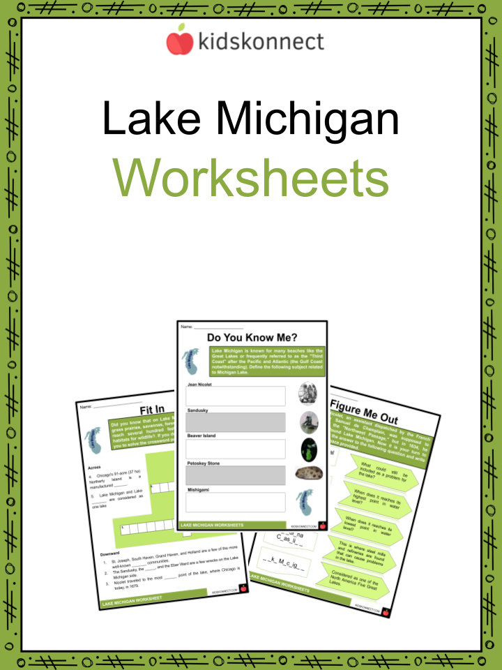
Lake Michigan Worksheets
This is a fantastic bundle that includes everything you need to know about Lake Michigan across 32 in-depth pages. These are ready-to-use worksheets that are perfect for teaching kids about Lake Michigan, the third largest of the Great Lakes (by water surface area) and the only Great Lake within the United States.
Complete List of Included Worksheets
Below is a list of all the worksheets included in this document.
- Lake Michigan Facts
- Figure Me Out
- Do You Know Me?
- Which One is It?
- Rolling in the Deep
- Fit In
- Story Time!
- World Underwater
- Islander
- Stop, Look and Tell
- Marine Defense
What is Lake Michigan known for?
There are several beaches on Lake Michigan. The “Third Coast” of the United States is a term used to describe the area. In Michigan, there is the biggest freshwater dune system in the world and more than 275,000 acres of sand dunes line its shores.
How old is Lake Michigan water?
The Midcontinent Rift formed Lake Michigan 1.2 billion years ago when two tectonic plates moving in opposite directions collided. Less than 15,000 years ago, melting glaciers filled the giant basin and created the lake we know today.
What was Lake Michigan originally called?
In 1679, it became known as Lac des Illinois after gaining access to the territory of the Indians, from which it was named. Claude-Jean Allouez, a French Jesuit missionary, gave it the name Lac St. Joseph in 1673; however, after three years he changed its name to Lac Dauphin because other writers had already nicknamed it that.
Link/cite this page
If you reference any of the content on this page on your own website, please use the code below to cite this page as the original source.
Link will appear as Lake Michigan Facts & Worksheets: https://kidskonnect.com - KidsKonnect, September 8, 2022
Use With Any Curriculum
These worksheets have been specifically designed for use with any international curriculum. You can use these worksheets as-is, or edit them using Google Slides to make them more specific to your own student ability levels and curriculum standards.