Premium  Download Edit
Download the North Sea Facts & Worksheets
Click the button below to get instant access to these worksheets for use in the classroom or at a home.
Download This Worksheet
This download is exclusively for KidsKonnect Premium members!
To download this worksheet, click the button below to signup (it only takes a minute) and you'll be brought right back to this page to start the download!
Sign Me Up
Edit This Worksheet
Editing resources is available exclusively for KidsKonnect Premium members.
To edit this worksheet, click the button below to signup (it only takes a minute) and you'll be brought right back to this page to start editing!
Sign Up
Not ready to purchase a subscription? Click to download the free sample version Download sample
Download This Sample
This sample is exclusively for KidsKonnect members!
To download this worksheet, click the button below to signup for free (it only takes a minute) and you'll be brought right back to this page to start the download!
Sign Me Up
Table of Contents
The North Sea is a sea that is part of the Atlantic Ocean located in Northern Europe. The North Sea is a rich resource for the fishing and marine industry. It is also a known spot for recreation and tourism, especially within the seven countries bordering it.
See the fact file below for more information about the North Sea, or you can download our 26-page North Sea worksheet pack to utilize within the classroom or home environment.
Key Facts & Information
INTRODUCTION TO THE NORTH SEA
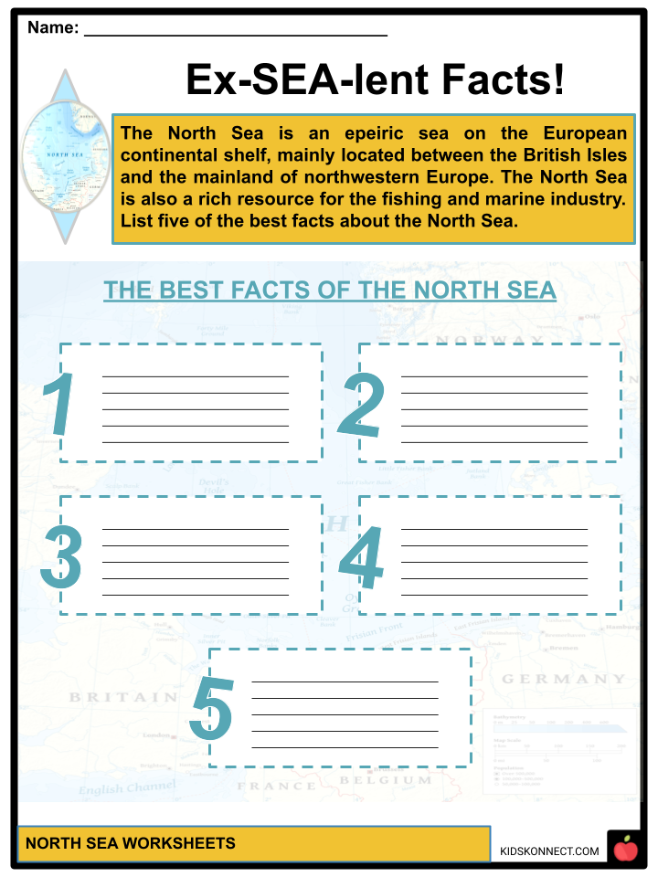
- The North Sea is an epeiric sea (inland sea) on the European continental shelf, mainly located between the British Isles and the mainland of northwestern Europe.
- The sea is located around the countries of Norway in the northeast, Denmark in the east, Germany and Netherlands in the southeast, France and Belgium in the south and Great Britain in the southwest and west.
- The sea also connects to the Atlantic Ocean through the English Channel in the south and the Norwegian Sea in the north.
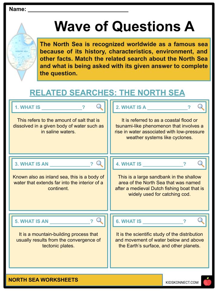
- An epeiric sea is a body of water that extends far into the interior of a continent.
- During summer, the sea is busy with tourists wanting to visit and rest along its nearby beaches and other tourist destinations that can be found within its seven bordering countries.
- The North Sea hosts many northern European shipping lanes and is a significant resource for fishery, sand extraction, and energy resources (specifically, wind energy).
GEOLOGY OF THE NORTH SEA
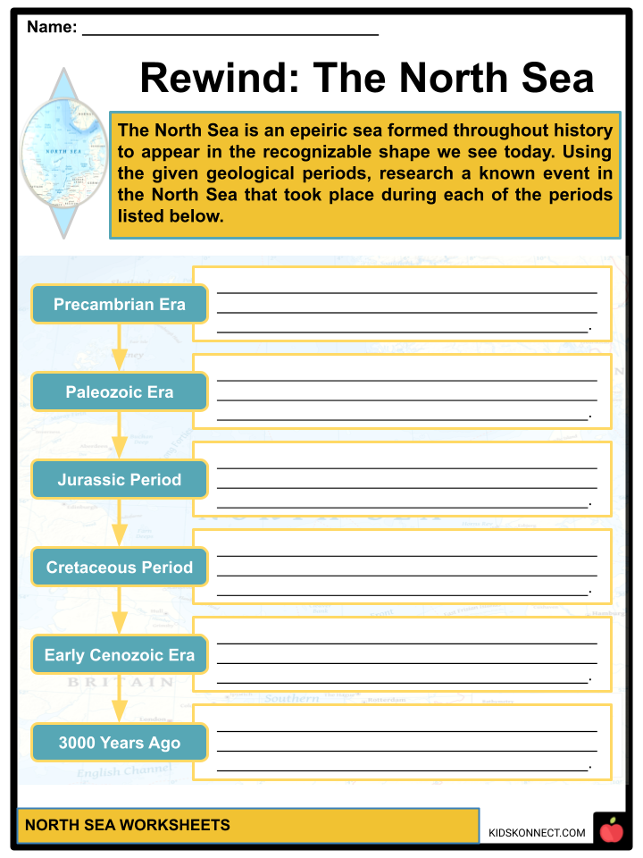
- During the Precambrian era, the separate areas of the North Sea across continental regions were brought together due to plate tectonics and continental collisions.
- During the Paleozoic era, several orogenies caused the basement formations of the North Sea, especially during the Cambrian to Devonian period. During the Variscan orogeny, the North Sea was a non-marine arid environment.
- Orogenies are mountain-building processes that usually result from the convergence of tectonic plates.
- During the Jurassic period, the oil and natural gas of the North Sea were formed from the burial of algae and bacteria below the mud of the sea floor.
- When the sea level fell during the Middle Jurassic, major reservoirs were created in the North Sea as clastics and sands were deposited in paralic environments.
- During the Cretaceous period, dark anoxic shales were formed worldwide, rocks that served as sources for oil and gas. Some of these rocks can be found in the subsurface of the North Sea.
- During the early Cenozoic era, the North Sea was formed, and Great Britain experienced a tectonic uplift.
- During the Pleistocene epoch, the North Sea was covered by ice when there was a significant advance of ice sheets that later deposited a thick layer of clay on the seafloor. The sea then became ice-free along with coasts and other countries nearby.
- Fossils from every period of the Pleistocene were also produced from the North Sea.
- It wasn’t until about 3,000 years ago that an established coastline formed along the sea.
NORTH SEA PHYSIOGRAPHY
- Physiography is the branch of science that deals with the processes and patterns in the natural environment. This includes the environment’s atmosphere, hydrosphere, biosphere, and geosphere.
- Most of the waters in the North Sea measure a mean depth of 300 feet. The seafloor then continually dips to the northern areas, while in the southern part of the sea, the depths measure less than 120 feet.
- Navigational hazards in the southern area of the sea are caused by tidal currents occurring in its shallow, shifting banks.
- The Norwegian Trench is an undersea trough in the northeastern part of the North Sea. Measuring a maximum depth of 2,379 feet, it is an elongated depression in the sea floor off Norway’s southern coast.
- The Dogger Bank is a large sandbank in the shallow area of the North Sea that has become one of the finest fishing areas in the sea. It was named after the medieval Dutch fishing boat Doggers, widely used for catching cod.
- Some deep trenches in the North Sea are Devil’s Hole in Scotland and Silver Pit in England. These deep trenches were formed when parts of the North Sea were ice-free during the last glaciation.
- Cleaver Bank, Fisher Bank, and Noordhinder Bank are some sandbanks or shoals in the North Sea that are less deep.
NORTH SEA HYDROLOGY
- Hydrology is the scientific study of the distribution and movement of water below and above the Earth’s surface and other planets.
- The average temperature of the North Sea in the summer is around 17 degrees Celsius and 6 degrees Celsius in the winter. The effects of climate change have been involved in the continual increase of average temperature since 1988.
- Salinity refers to the amount of salt dissolved in a given body of water, such as in saline waters.
- The four water salinity levels from lowest to highest salinity amount are fresh water, brackish water, saline water, and brine.
- The average salinity level in the North Sea ranges from 34 and 35 grams per liter of water (classified under saline water). Higher variability in salinity occurs when freshwater inflow exists in nearby water areas.
- Waters with salinities containing an amount of 0 – 0.5 parts per thousand (ppt) are considered freshwater, between 0.5 – 30 ppt are considered brackish waters, between 30 – 50 ppt are saline waters, and above 50 ppt are classified as salty water.
- Along the edges of the North Sea, the water flow pattern moves in an anti-clockwise direction. The water of the sea is also affected by the North Atlantic Current.
- Atlantic waters with salinity levels under Saline water enter the sea through the English Channel and between the Shetland Islands and Norway.
- The waters coming through Skagerrak that create a counterclockwise flow of water in the basin produce colder and less saline waters. Through the Rhine, Thames, and other rivers, large amounts of freshwater enter the North Sea.
NORTH SEA CLIMATE
- Storm surges are called coastal floods or tsunami-like phenomena that involve a rise in water associated with low-pressure weather systems like cyclones. These are caused by changes in barometric pressure (air pressure) with solid wind waves.
- Abnormal tides on the southern coast can also pose hazards in communities due to their low-lying nature, which can easily be flooded with a strong flow of water from the sea.
- Coastal areas in the Netherlands, Belgium, Germany, and Denmark experience the formation of such storm surges along or near the North Sea.
NORTH SEA GEOPOLITICAL AND MILITARY AFFAIRS
- The North Sea has become a setting in Northern European history, especially from the Middle Ages to the modern age.
- The Viking Age was the period during the Middle Ages when Vikings, seafaring people from Scandinavia, conducted raids, colonization, conquest, and trading throughout Europe to North America. This happened from 793 to 1066 CE.
- The Hanseatic League, the Dutch Republic, and the British journeyed during the Viking Age to dominate and access the world’s markets and resources.
- During the World War, the North Sea became Germany’s only outlet to the ocean, making it purposeful in the battle.
- Today, the countries that border the North Sea have their claim of territorial waters. The Common Fisheries Policy of the European Union sets rules for sustainably managing European fishing fleets and conserving fish stocks.
ECOLOGY IN THE NORTH SEA
- Many tiny organisms like copepods and zooplankton are found in the North Sea and are essential in the aquatic food chain.
- There are over 230 species of fish in the North Sea, such as cod, mackerel, sprat, haddock, and herring, which are all common and are fished commercially.
- There are also a lot of Crustaceans, such as Norway lobster, deep-water prawns, and brown shrimp, that can be found in the North Sea. Some of the fish are also fished commercially.
- Nature reserves from the coasts of the North Sea located in the UK, Denmark, Germany, and the Netherlands provide breeding habitats for many bird species.
- Every year, these birds use the North Sea for breeding, feeding, and migration.
- Birdwatching is an everyday recreational activity in these places due to many seabird species visiting these coasts.
- At marine installations, coasts, and islands along the North Sea, there are many marine mammals, such as common seals, pinnipeds, walruses, porpoises, dolphins, and whale species.
- Species of wrack, algae, kelp, maerl, and macroalgal are some of the plants that can be found in the North Sea.
- The wildlife of the North Sea is being threatened by a series of activities such as pollution, overhunting, and overfishing throughout its environment. These events have led some species to become extinct in these lands and others to see their population decline.
- Other factors that contributed to the decline of the population of several species common to the North Sea include the following: industrial and agricultural pollution, trawling, dredging, construction on coastal breeding and feeding grounds, human-induced eutrophication, sand and gravel extraction, and shipping traffic.
- The Convention for the Protection of the Marine Environment of the North-East Atlantic or OSPAR Convention was implemented to fight against the harmful effects of human activity on wildlife, preserve endangered species, and provide environmental protection in the North Sea. Other signatories and agreements are made for preventing pollution and the protection of species.
BUSINESS AND ECONOMY IN THE NORTH SEA
- The North Sea is a center of several industries, including tourism, fishing, shipping, oil and gas exploration, sand extraction, and wind energy production.
- Within twenty years, since petroleum and natural gas were explored in the seafloor of the North Sea in 1959, several sites were located along 160 km bans from the Netherlands to eastern England to start businesses and extract oil and gas.
- Because it produced high-quality crude oil with low sulfur content, the North Sea became the most important producer of oil and gas in Western Europe. The North Sea is also Europe’s primary source of fishery. Trawling is the main method being used for conducting fishing activities
- Millions of cubic meters of sand and gravel from the seafloor are extracted in the North Sea and used for beach nourishment, land reclamation, and construction.
- Pieces of amber, a fossilized tree resin, are also being extracted along the east coast of England.
- Strong prevailing winds and shallow water on the nearby shores of Germany and Denmark have been used to generate wind power since the 1990s. This is home to one of the first large-scale offshore wind farms in the world.
- The North Sea is also a popular tourist destination due to its many beaches and coastal waters, such as beach resorts and coastal towns in the United Kingdom and Scotland.
- Some of the known recreational activities that can be done in the North Sea include windsurfing, sailing, golf, mudflat hiking, recreational fishing, and birdwatching. The benefits of visiting the North Sea to the skin and respiratory system are claimed to be from the healthy climatic conditions in the sea.
North Sea Worksheets
This fantastic bundle includes everything you need to know about the North Sea across 26 in-depth pages. These ready-to-use worksheets are perfect for teaching kids about the North Sea. The North Sea is a rich resource for the fishing and marine industry. It is also a known spot for recreation and tourism, especially within the seven countries bordering it.
Complete List of Included Worksheets
Below is a list of all the worksheets included in this document.
- North Sea Facts
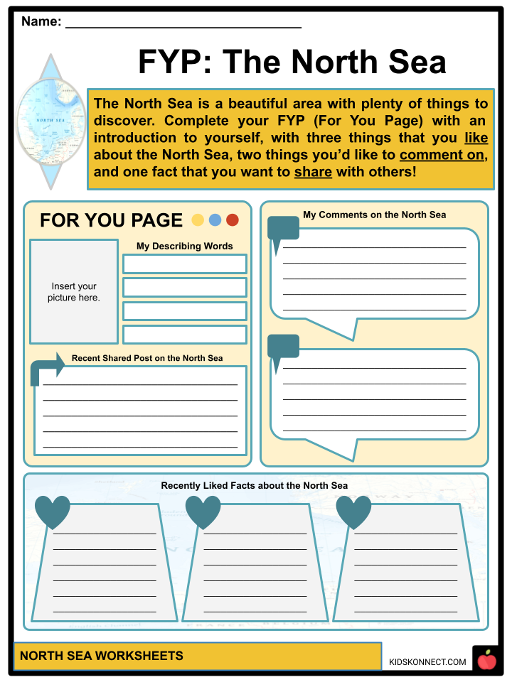
- FYP: The North Sea
- Ex-SEA-lent Facts!
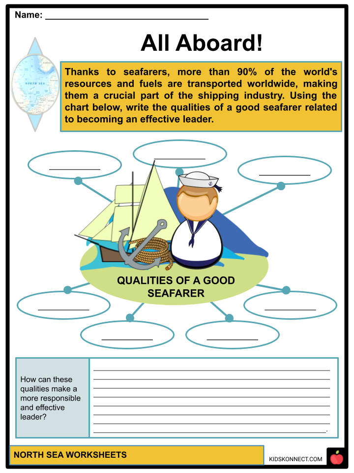
- All Aboard!
- Raise Your Flag
- Wave of Questions A
- Wave of Questions B
- Rewind: The North Sea
- Wear Your Voice
- North Illustrations
- Insight-opedia!
Frequently Asked Questions
What countries border the North Sea?
The North Sea is bordered by several countries, including Norway and Denmark to the northeast, Germany, the Netherlands, Belgium, and France to the east and southeast, and the United Kingdom to the west and northwest.
What is the significance of the North Sea in terms of trade and commerce?
The North Sea plays a crucial role in trade and commerce, serving as a major shipping route for goods moving between Europe and the rest of the world. It facilitates trade between the countries that border it and is particularly important for the transportation of oil and natural gas.
How does the North Sea contribute to energy production?
The North Sea is rich in oil and natural gas reserves, making it a significant hub for energy production. Countries such as Norway and the United Kingdom have extensive offshore oil and gas drilling operations in the North Sea, contributing to their economies and energy supplies.
What environmental challenges does the North Sea face?
The North Sea faces various environmental challenges, including pollution from oil spills, industrial runoff, and agricultural runoff. Overfishing is also a concern, as it can disrupt the marine ecosystem and deplete fish stocks. Additionally, rising sea levels and climate change pose threats to coastal communities and habitats in the region.
What are some notable features or landmarks around the North Sea?
The North Sea is home to several notable features and landmarks, including the Dogger Bank, a large sandbank in the central North Sea known for its rich biodiversity. The coastline along the North Sea is dotted with historic cities and towns, such as Amsterdam, Rotterdam, Aberdeen, and Hamburg, each offering unique cultural and architectural attractions. Additionally, there are several offshore wind farms in the North Sea, highlighting the region’s commitment to renewable energy production.
Link/cite this page
If you reference any of the content on this page on your own website, please use the code below to cite this page as the original source.
Link will appear as North Sea Facts & Worksheets: https://kidskonnect.com - KidsKonnect, March 20, 2024
Use With Any Curriculum
These worksheets have been specifically designed for use with any international curriculum. You can use these worksheets as-is, or edit them using Google Slides to make them more specific to your own student ability levels and curriculum standards.


