Premium  Download Edit
Download the Po River Facts & Worksheets
Click the button below to get instant access to these worksheets for use in the classroom or at a home.
Download This Worksheet
This download is exclusively for KidsKonnect Premium members!
To download this worksheet, click the button below to signup (it only takes a minute) and you'll be brought right back to this page to start the download!
Sign Me Up
Edit This Worksheet
Editing resources is available exclusively for KidsKonnect Premium members.
To edit this worksheet, click the button below to signup (it only takes a minute) and you'll be brought right back to this page to start editing!
Sign Up
Not ready to purchase a subscription? Click to download the free sample version Download sample
Download This Sample
This sample is exclusively for KidsKonnect members!
To download this worksheet, click the button below to signup for free (it only takes a minute) and you'll be brought right back to this page to start the download!
Sign Me Up
Table of Contents
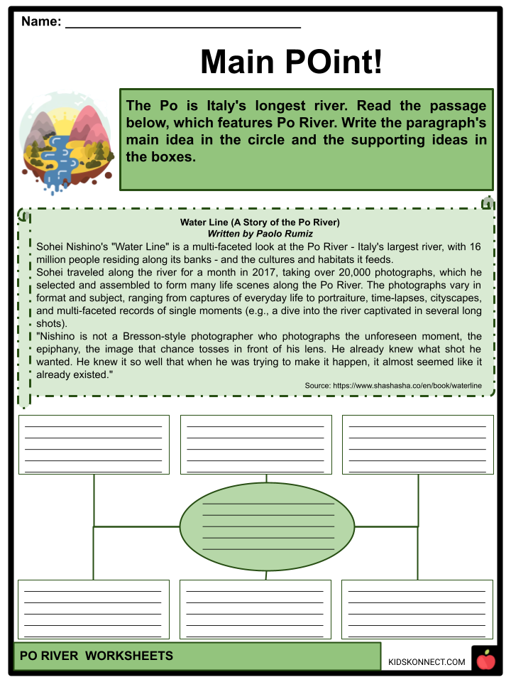
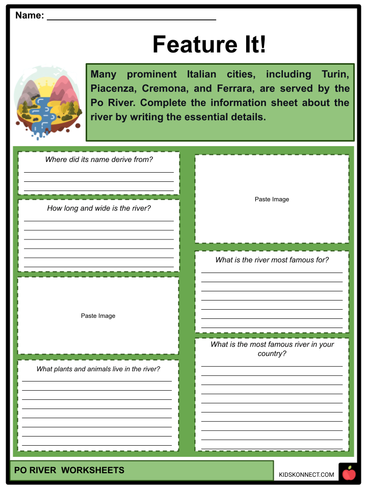
The Po is Italy’s longest river. It runs eastward through northern Italy, beginning in the Cottian Alps. The river serves many prominent Italian cities, including Turin, Piacenza, Cremona, and Ferrara. It is linked to Milan by a network of Navigli, which Leonardo da Vinci helped develop.
See the fact file below for more information about the Po River, or you can download our 30-page Po River worksheet pack to utilize within the classroom or home environment.
Key Facts & Information
CULTURAL HISTORY
- Long after the valley had been colonized successively by prehistoric and ancient peoples: Ligures, Etruscans, Celts, Veneti, Umbri, and Romans, the Po was first firmly named by Graeco-Roman historians and geographers of the late Roman Republic and early Roman Empire.
- The prehistoric writers were seeking to explain the origin of the term at that late age. Polybius uses Pados (in Greek) and claims it is to be connected with the poets’ Eridanos. Furthermore, the country’s inhabitants refer to it as Bodencus. It indicates that a “country” population has existed since ancient times or adopted the moniker used by that substrate.
- On the other hand, Pliny the Elder has a great deal to say regarding the Padus of his day. Herodotus questioned the presence of a river in Europe, Eridanos, which he claimed flowed into the northern sea and provided amber.
- Moreover, Pliny suggests that the Eridanos had been mistakenly linked with the Padus during his time. Amber is said to have originated there. Phathon, son of the sun, was hit by lightning and transformed into poplar, exuding tears annually, resulting in the beginning of amber (a Pausanias myth).
- Pliny expresses surprise at the poets’ ignorance, saying, “There can be no doubt that amber is the product of the islands of the northern ocean (Baltic Sea)” and features its introduction into the Po Valley to the Veneti, the final link in a trade route to the north through Pannonia and Germany. Furthermore, he also cites the Po’s Ligurian name, Bodincus, which translates as “bottomless.” Bodincus comes from the Ligurian town of Bodincomagus, located on the right branch of the Po, downstream from Turin.
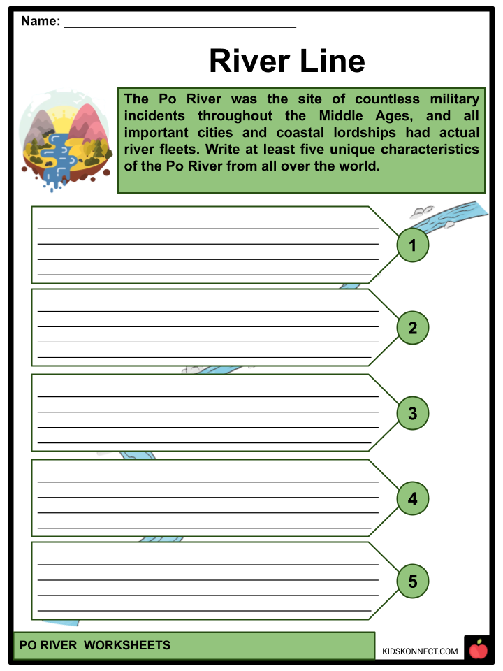
- Like other rivers in northern Italy, the Po was the site of countless military incidents throughout the Middle Ages, and all important cities and coastal lordships had actual river fleets.
GEOGRAPHY
- The Po has a drainage region of 74,000 km2, 70,000 of which are in Italy, 41,000 of which are in montane settings and 29,000 on the plain. The Po River Valley’s slope drops from 0.35% in the west to 0.14% in the east, indicating a low gradient. There are 450 standing lakes along its path.
- The Vallee Etroite, which runs from Mont Thabor to the Italian ski resort of Bardonecchia, is a small piece of the Po basin that belongs to France. Because Vallee Etroite is so distant, it is primarily administered by Italy. Further minor parts of the Po’s basin are located within France in the form of little streamheads brought into France as a punitive measure against Italy by the 1947 Paris Peace Treaty.
- The former has a reservoir dammed at the Po end and thus officially forms part of its basin; however, it adds nothing to water flow because the water is, by definition, kept by the dam.
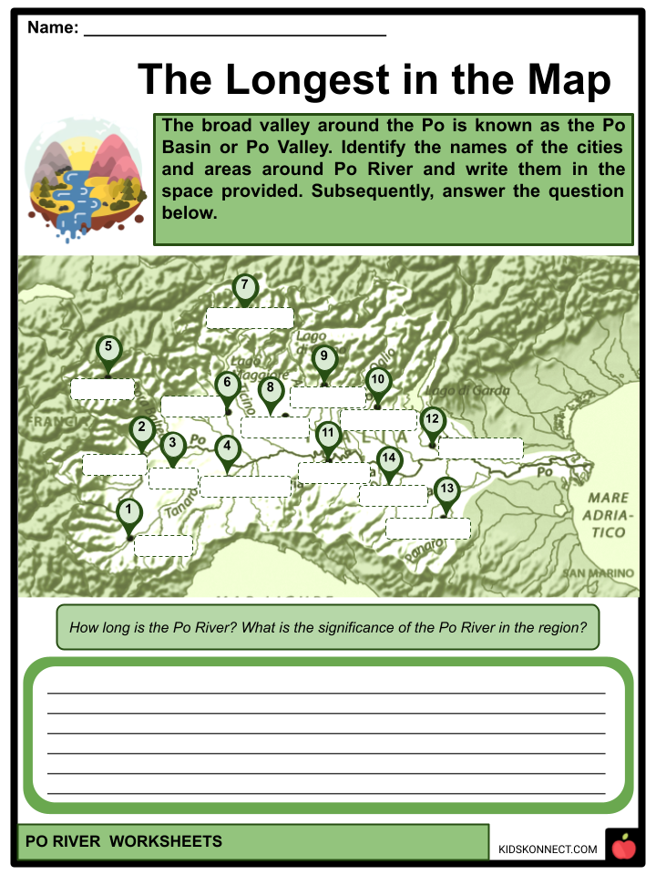
- The broad valley around the Po is known as the Po Basin or Po Valley (Italian Pianura Padana or Val Padana); it is the leading industrial area and the country’s most significant agricultural area, accounting for 35% of Italian agriculture production.
- Furthermore, the valley’s two main economic uses are industry and agriculture. Turin and Milan are built on higher elevations, away from the river. Hence, they rely on the numerous hydroelectric facilities in or near the Alps.
- The streams have grown so heavily dammed that the sedimentation rate of the river is slowed, generating geologic concerns. The vast, lush, and rich river plain is primarily reserved for agriculture. It is prone to flash floods, although the overall water supply is shorter than before and shorter than demand.
- Cereals, notably rice, which requires considerable irrigation, are the principal products of the farms along the river. The latter approach consumes the most surface water, whereas industrial and human consumption requires surface water.
PO RIVER DELTA
- The establishment of two provincial parks in the surrounding areas has helped safeguard the Po Delta wetlands. The largest, the Po Delta Regional Park in Emilia-Romagna, comprises four tracts of land on the right bank of the Po and to the south.
- The heads of state of the provinces, mayors of the communities, and the board of directors held executive authority. To carry out directives, they used a Technical-Scientific Committee and a Park Council.
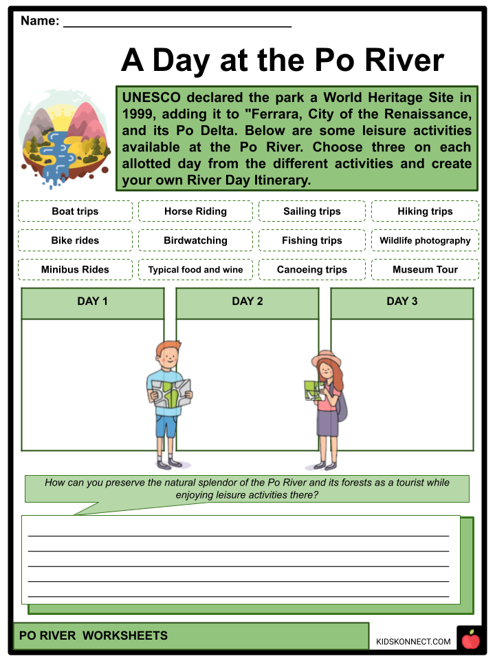
- UNESCO declared the park a World Heritage Site in 1999, adding it to “Ferrara, City of the Renaissance, and its Po Delta.”
- The most recent element of the delta, extending into the Adriatic between Chioggia and Comacchio, includes channels that link to the Adriatic and are thus referred to by park officials as the active delta. In contrast, the fossil delta contains tracks that no longer connect the Po to the Adriatic.
- Meanwhile, the active delta was formed in 1604 when the municipality of Venice shifted the main flow, the Po grande or Po di Venezia, from its course north of Porto Viro to the channel south of Porto Viro, which was then known as the Taglio di Porto Viro, or “Porto Viro cut-off.”
- Their goal was to halt the Po’s slow march towards the lagoon of Venice, which would have grown up with silt if contact had been established. The town of Taglio di Po grew up around the diversionary works.
GEOLOGY
- The fossil Po is a region of no longer active Po-to-sea canals. It starts upstream of Ferrara. The current flow of the Fiume Po to the north of Ferrara is the outcome of a diversion at Ficarolo in 1152 to alleviate flooding in the Ravenna area. The Mediterranean Basin is a dip in the Earth’s crust formed when the African Plate slides beneath the Eurasian Plate. Throughout geologic history, the depression has typically been filled with seawater known by geological names such as the Tethys Sea.
- The Messinian salinity crisis, a near-drying of the Mediterranean, was brought about by the sea level transferring below the bank at the Strait of Gibraltar and the equilibrium within evaporation and restoration shifting in favor of evaporation. The ocean broke across the sill at the end of the Messinian and replenished the Mediterranean.
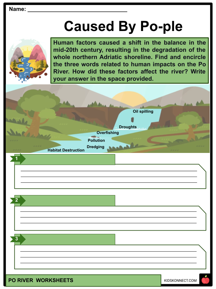
- The Po delta has been growing since then. Human factors, however, caused a shift in the balance in the mid-20th century, resulting in the degradation of the whole northern Adriatic shoreline. The primary factor is that the river is used for agriculture; during peak consumption, the flow virtually dries up in areas, prompting local conflict. As a result of reduced flow, salt water is infiltrating aquifers and coastline groundwater.
HUMAN IMPACTS
- In 2005, water from the Po was discovered to contain high levels of benzoylecgonine, excreted in urine by cocaine addicts. Milan did not have any sewage treatment plants. The European Environment Agency penalized the city for dumping sewage directly into the Po.
- On February 24, 2010, an oil spill from a refinery in Villasanta through the Lambro contaminated the Po; the Agenzia Nazionale Stampa Associata news organization assessed the 600,000 liters. Until 1989, water resources were managed on a regional or local level. The Magistrato alle Acque di Venezia, established in the 16th-century State of Venice, was the primary authority on the lower Po.
- A 362 m long, 20 m high gate dam with eleven 30 m openings guarded by vertical lift gates crosses the Po near the Isola Serafini in Monticelli d’Ongina, Piacenza Province, 40 km downstream from Piacenza. On the other hand, the Italian government announced a state of emergency in Emilia-Romagna, Lombardy, Piedmont, Veneto, and Friuli Venezia Giulia in July 2022. Water levels dropped, exposing extensive riverbed regions and missing things.
Po River Worksheets
This fantastic bundle includes everything you need to know about the Po River across 30 in-depth pages. These ready-to-use worksheets are perfect for teaching kids about the Po River. The river serves many prominent Italian cities, including Turin, Piacenza, Cremona, and Ferrara. It is linked to Milan by a network of Navigli, which Leonardo da Vinci helped develop.
Complete List of Included Worksheets
Below is a list of all the worksheets included in this document.
- Po River Facts
- River Line
- Main POint!
- Caused By Po-ple
- Riverctionary
- Feature It!
- The Longest in the Map
- Who Are They
- A Day at the Po River
- Trip to Po
- #Picture_PoERFECT!
Frequently Asked Questions
Where is the Po River located?
The Po River, also known as the “Il Po” in Italian, is located in northern Italy. It flows through several regions, including Piedmont, Lombardy, Emilia-Romagna, and Veneto, before emptying into the Adriatic Sea.
How long is the Po River?
The Po River is approximately 652 kilometers (405 miles) long, making it the longest river in Italy. It has its source in the Cottian Alps near the French border and flows eastward across northern Italy.
What is the significance of the Po River in Italy?
The Po River is of great significance to Italy both historically and economically. It has been a vital waterway for trade and transportation, facilitating commerce and agriculture in the Po Valley. Additionally, it is known for its rich agricultural lands and is often referred to as the “breadbasket of Italy” due to the fertile plains along its banks.
What are some major cities along the Po River?
Several major cities are located along the Po River, including Turin (Torino), Milan (Milano), Piacenza, Cremona, and Ferrara, among others. These cities have historically played important roles in the cultural and economic development of northern Italy.
What environmental challenges does the Po River face?
The Po River faces various environmental challenges, including pollution from industrial and agricultural activities, which can affect water quality. Additionally, the river is prone to flooding, and efforts have been made to manage and control its waters through a system of dams and levees. Balancing environmental conservation with the region’s agricultural and industrial needs is an ongoing challenge.
Link/cite this page
If you reference any of the content on this page on your own website, please use the code below to cite this page as the original source.
Link will appear as Po River Facts & Worksheets: https://kidskonnect.com - KidsKonnect, October 19, 2023
Use With Any Curriculum
These worksheets have been specifically designed for use with any international curriculum. You can use these worksheets as-is, or edit them using Google Slides to make them more specific to your own student ability levels and curriculum standards.


