Premium
 Download
Edit
Download
Edit
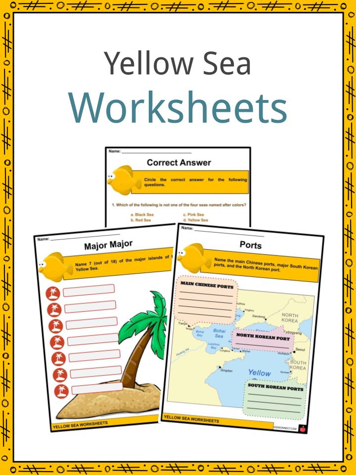
Download the Yellow Sea Facts & Worksheets
Click the button below to get instant access to these worksheets for use in the classroom or at a home.
Download This Worksheet
This download is exclusively for KidsKonnect Premium members!
To download this worksheet, click the button below to signup (it only takes a minute) and you'll be brought right back to this page to start the download!
Sign Me Up
Edit This Worksheet
Editing resources is available exclusively for KidsKonnect Premium members.
To edit this worksheet, click the button below to signup (it only takes a minute) and you'll be brought right back to this page to start editing!
Sign Up
Not ready to purchase a subscription? Click to download the free sample version Download sample
Download This Sample
This sample is exclusively for KidsKonnect members!
To download this worksheet, click the button below to signup for free (it only takes a minute) and you'll be brought right back to this page to start the download!
Sign Me Up
Table of Contents
The Yellow Sea is one of the four seas named after colors, with “yellow” being descriptive of the phenomenon where fine sand grains from the Gobi Desert sandstorms turn the surface of the waters a golden yellow.
See the fact file below for more information on the Yellow Sea or alternatively, you can download our 24-page Yellow Sea worksheet pack to utilise within the classroom or home environment.
Key Facts & Information
INTRODUCTION
- The Yellow Sea is a Western Pacific Ocean marginal sea that can be found between mainland China and the Korean Peninsula, and is considered to be part of the East China Sea.
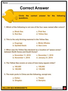
- The Yellow Sea gained its name due to the yellow color of the water surface caused by the mineral-rich soils. It is also one of the four seas named after colors: the others are the Black Sea, Red Sea, and White Sea.
GEOGRAPHY
- The International Hydrographic Organization has defined the limits of the Yellow Sea as follows:
“The Yellow Sea is separated from the Sea of Japan by the boundary from the southern end of Haenam Peninsula in Jeollanamdo to Jeju Island and divided into the East China Sea by the boundary from the west end of Jeju Island to the Yangtze River estuary.” - The Yellow Sea extends by about 960 kilometers from north to south, and about 700 kilometers from east to west.
- The bottom of the Yellow Sea is dominated by sand and silt brought by the Liao River, Yellow River, Hai He, and Yalu River.
- Major islands associated with the Yellow Sea include Anmado, Baengnyeongdo, Daebudo, Deokjeokdo, Gageodo, Ganghwado, Hauido, Heuksando, Hongdo, Jejudo, Jindo, Muuido, Sido, Silmido, Sindo, Wando, Yeongjongdo, and Yeonpyeongdo.
- The area of the Yellow Sea has cold, dry winters with strong northerly monsoons around late November to March.
- The Yellow Sea has a warm cyclone current, forming part of the Kuroshio Current, and then it diverges near the western part of Japan and flows northward into the Yellow Sea.
- Tides in the Yellow Sea rise twice a day. Tides at the Korean Peninsula are higher and reach the maximum in spring.
- The tidal system in the Yellow Sea rotates in a counterclockwise direction. Tide-related sea level variations occur approximately an hour between Jindo and Modo islands.
PLANTS AND ANIMALS
- The Yellow Sea is rich in seaweed, mostly kelp. The sea is also rich in cephalopods, crustaceans, shellfish, clams, and blue-green algae which bloom in summer and contribute to the yellow color of the water surface.
- The southern part of the Yellow Sea has a 10 km-wide belt of intertidal mudflats which consist of highly productive sediments rich in benthic fauna and which are important for migratory waders and shorebirds.
- The Yellow Sea serves as a habitat to about 600 species of vertebrates, including around 400 species of birds, 20 species of mammals, 9 species of amphibians, 14 species of reptiles, 200 species of fish, and 165 species of zoobenthos.
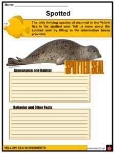
- Spotted seals also thrive in the Yellow Sea. At Baengnyeongdo, a sanctuary for spotted seals was created. There are also spotted great white sharks in the area, that prey on spotted seals.
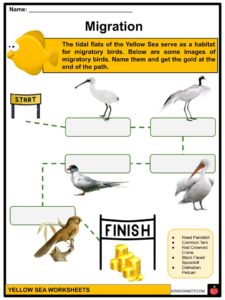
- The tidal flats of the Yellow Sea also serve as a habitat for migratory birds such as the black-faced spoonbill, oriental stork, red-crowned crane, Chinese egret, dalmatian pelican, swan goose, relict gull, red knot, Asian dowitcher, black-tailed godwit, reed parrotbill, grey plover, broad-billed sandpiper, red-necked stint, sanderling, dunlin, and common tern.
ECONOMY
- Due to the abundance of fish, the Yellow Sea serves as a site for Chinese, Korean, and Japanese fishing vessels.
- Some species of fish that can be found in the area include sea bream, croakers, lizard fish, prawns, cutlassfish, horse mackerel, squid, eel, filefish, Pacific herring, chub mackerel, flounder, and jellyfish.
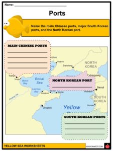
- Another activity that can be done at the Yellow Sea is navigation. The main ports are Dalian, Tianjin, Qingdao, and Qinhuangdao in China; Incheon, Gunsan, and Mokpo in South Korea; and Nampho in North Korea.
STATUS
- The Yellow Sea is considered as one of the most degraded marine areas on Earth.
- Land reclamation is one of the reasons why natural coastal habitats are dying, and has resulted in the destruction of tidal wetlands around the coastline.
- Coastal destruction also happens due to agriculture, aquaculture, and industrial development.
- The tidal flats of the Yellow Sea are considered to be endangered.
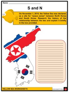
PEACE ZONE
- The Yellow Sea has also been serving as a site of “peace zones” between North Korea and South Korea since November 1, 2018.
- This has been established by officials from South Korea’s Ministry of National Defense.
ADDITIONAL FACTS
- Species that used to exist abundantly in the Yellow Sea but are no longer present or are only present in small numbers include minke whales, killer whales, finless porpoises, fin whales, gray whales, humpback whales, Japanese sea lions, dugongs, blue whales, and leatherback turtles.
- The Yellow Sea covers an area of 150,000 square miles and has an average depth of 144 feet, and maximum depth of 499 feet.
Yellow Sea Worksheets
This is a fantastic bundle which includes everything you need to know about the Yellow Sea across 24 in-depth pages. These are ready-to-use Yellow Sea worksheets that are perfect for teaching students about the Yellow Sea which is one of the four seas named after colors, with “yellow” being descriptive of the phenomenon where fine sand grains from the Gobi Desert sandstorms turn the surface of the waters a golden yellow.
Complete List Of Included Worksheets
- Yellow Sea Facts
- Correct Answer
- Major Major
- Ports
- S and N
- Migration
- Spotted
- Mammals
- Match It
- Pick One
- Poster
Link/cite this page
If you reference any of the content on this page on your own website, please use the code below to cite this page as the original source.
Link will appear as Yellow Sea Facts & Worksheets: https://kidskonnect.com - KidsKonnect, May 19, 2020
Use With Any Curriculum
These worksheets have been specifically designed for use with any international curriculum. You can use these worksheets as-is, or edit them using Google Slides to make them more specific to your own student ability levels and curriculum standards.