Premium
 Download
Edit
Download
Edit
Download the English Channel Facts & Worksheets
Click the button below to get instant access to these worksheets for use in the classroom or at a home.
Download This Worksheet
This download is exclusively for KidsKonnect Premium members!
To download this worksheet, click the button below to signup (it only takes a minute) and you'll be brought right back to this page to start the download!
Sign Me Up
Edit This Worksheet
Editing resources is available exclusively for KidsKonnect Premium members.
To edit this worksheet, click the button below to signup (it only takes a minute) and you'll be brought right back to this page to start editing!
Sign Up
Not ready to purchase a subscription? Click to download the free sample version Download sample
Download This Sample
This sample is exclusively for KidsKonnect members!
To download this worksheet, click the button below to signup for free (it only takes a minute) and you'll be brought right back to this page to start the download!
Sign Me Up
Table of Contents
The English Channel, or simply the Channel, is an arm of the Atlantic Ocean that separates Southern England from northern France and links to the southern part of the North Sea by the Strait of Dover at its northeastern end. It is the busiest shipping area in the world.
See the fact file below for more information on the English Channel or alternatively, you can download our 24-page English Channel worksheet pack to utilise within the classroom or home environment.
Key Facts & Information
DESCRIPTION
- It is around 560 kilometers or 350 miles long and varies in width from 240 kilometers or 150 miles at its widest to 34 kilometers or 21 miles in the Strait of Dover.
- It is the smallest of the shallow seas around the continental shelf of Europe, covering an area of some 75,000 square kilometers or 29,000 square miles.
- Beginning at its mouth in the North Atlantic Ocean—an arbitrary limit marked by a line between the Scilly Isles and the Isle of Ushant—its width gradually narrows from 112 miles or 180 kilometers to a minimum of 21 miles, while its average depth declines from 400 to 150 feet (120 to 45 meters).
NAME
- The English Channel is informally known as the ‘Narrow Sea’. Until the 18th century, the English Channel had no fixed name in English or French.
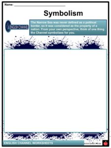
- The Narrow Sea was never defined as a political border, so it was considered as the property of a nation.
- Since the early 18th century, the name “English Channel” has been widely used, possibly originating from the designation Engelse Kanaal in Dutch sea maps from the 16th century onwards.
- However, in modern Dutch, it is known as Het Kanaal (with no reference to the word “English”). Later, it was also known as the “British Channel or the “British Sea”.
- It was called Oceanus Britannicus by 2nd-century geographer Ptolemy and this was also used on an Italian map from about 1450, which gives the alternative name of canalites Anglie—possibly the first recorded use of the “Channel” designation.
GEOGRAPHY
- The English Channel, according to The International Hydrographic Organization, defines the limits of the Channel as follows: On the West: A line joining Isle Vierge (48°38′23″N 4°34′13″W) to Lands End (50°04′N 5°43′W). On the East: The Southwestern limit of the North Sea.
- The Strait of Dover (French: Pas de Calais), at the Channel’s eastern end, is its narrowest point.
- Eastwards from between Dover and Calais, the adjoining North Sea reduces to about 26 m (85 ft) in the Broad Fourteens where it lies over the watershed of the former land bridge between East Anglia and the Low Countries.
- There are several major islands in the Channel, the most notable being the Isle of Wight off the English coast, and the Channel Islands, British Crown dependencies off the coast of France.
- The Channel acts as a funnel that boosts the tidal range from less than a meter as observed at sea to more than 6 meters as observed in the Channel Islands, the west coast of the Cotentin Peninsula and the north coast of Brittany.
- The time difference is indicative of the tidal range being amplified further by resonance.
HUMAN HISTORY
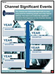
- The channel, which delayed human reoccupation of Great Britain for more than 100,000 years, has in historic times been both an easy entry point for seafaring people and a key natural defence, holding back invading armies while in conjunction with control of the North Sea allowing Britain to blockade the continent.
- The most significant failed invasion threats were the Spanish Armada in 1588, Napoleon during the Napoleonic Wars, and Nazi Germany during World War II, while successful invasions include the Roman conquest of Britain and the Norman Conquest in 1066.
- Channel naval battles include the Battle of the Downs (1639), the Battle of Goodwin Sands (1652), the Battle of Portland (1653), the Battle of La Hougue (1692), and the engagement between USS Kearsarge and CSS Alabama (1864).
- On the other hand, the Channel served as a link joining shared cultures and political structures, particularly the huge Angevin Empire from 1135 to 1217. For nearly a thousand years, the Channel also provided a link between the Modern Celtic regions and languages of Cornwall and Brittany. Brittany was founded by Britons who fled Cornwall and Devon after Anglo-Saxon encroachment. In Brittany, there is a region known as “Cornouaille” (Cornwall) in French and “Kernev” in Breton. In ancient times there was also a “Domnonia” (Devon) in Brittany as well.
SIGNIFICANT EVENTS
- The Viking Invasion is generally thought to have begun in 793 during the attack on Lindisfarne. For the next 250 years the Scandinavian pirates of Norway, Sweden, and Denmark controlled the North Sea, attacking monasteries, homes, and towns along the coast and along the rivers that ran inland. Based on the Anglo-Saxon Chronicle, they began to settle in Britain in 851. They extended to live in the British Isles and the continent until around 1050.
- The fiefdom of Normandy was created for the Viking chieftain Rollo (also acknowledged as Robert of Normandy). Rollo had attacked Paris but in 911 entered vassalage to the king of the West Franks Charles the Simple by the Treaty of St.-Claire-Sur-Epte. In return for his devotion and loyalty, Rollo legally gained the territory he and his Viking allies had previously conquered. The name “Normandy” indicates Rollo’s Viking (i.e. “Northman”) origins.
- The descendants of Rollo and his members embraced the local Gallo-Romance language and intermarried with the area’s settlers and became the Normans – a Norman French-speaking mixture of Scandinavians, Hiberno-Norse, Orcadians, Anglo-Danish, and indigenous Franks and Gauls.
- William, Duke of Normandy and Rollo’s descendant, became ruler of England in 1066 in the Norman Invasion, while maintaining the fiefdom of Normandy for himself and his descendants.
- During the reign of King John in 1204, mainland Normandy was taken from England by France under Philip II, while separated Normandy (the Channel Islands) remained under English authority. In 1259, Henry III of England acknowledged the validity of French possession of mainland Normandy under the Treaty of Paris. His successors, however, often fought to retrieve the control of mainland Normandy.
The Norman conquest of England was a military invasion of England by William the Conqueror in 1066. - William was Duke of Normandy, a country on the other side of the English Channel, now a region in France. He penetrated England after the death of King Edward the Confessor because he assumed he had the most power to be King of England, but King Harold II had himself crowned king instead. King Harold, with his Saxon army, and Duke William clashed at the Battle of Hastings on October 14, 1066. King Harold was killed in the battle and his army left. On December 25, 1066, William was crowned the new King of England.
- The Norman conquering was an important change in English history.
- The conquest linked England more closely with Continental Europe and made the Scandinavian impact less significant. It created one of the most dominant monarchies in Europe. The conquest transformed the English language and culture and set the stage for a fight with France, which would continue (with a few breaks) until the 19th century.
- England has never been triumphantly penetrated since the Norman invasion nearly 1000 years ago.
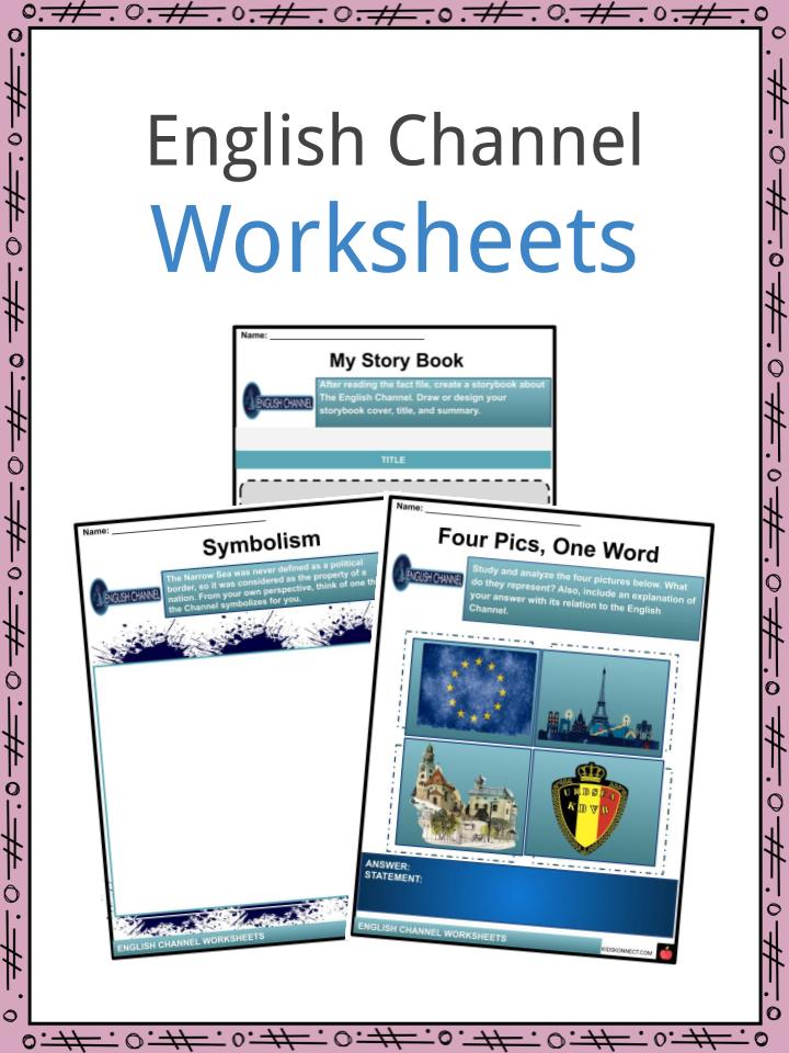
English Channel Worksheets
This is a fantastic bundle which includes everything you need to know about the English Channel across 24 in-depth pages. These are ready-to-use English Channel worksheets that are perfect for teaching students about the English Channel, or simply the Channel, which is an arm of the Atlantic Ocean that separates Southern England from northern France and links to the southern part of the North Sea by the Strait of Dover at its northeastern end. It is the busiest shipping area in the world.
Complete List Of Included Worksheets
- English Channel Facts
- My Story Book
- Symbolism
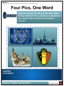
- Four Pics, One Word
- Channel Significant Events
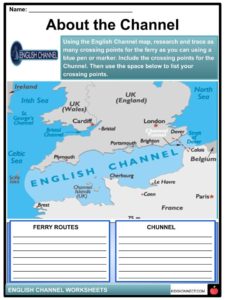
- About the Channel
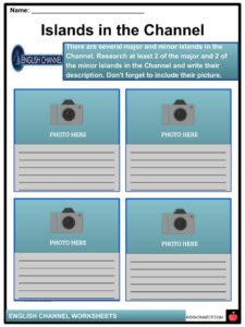
- Islands in the Channel
- The Busy Channel
- “Chunnel”
- Flash Report
- Dedicated to the Channel
Link/cite this page
If you reference any of the content on this page on your own website, please use the code below to cite this page as the original source.
Link will appear as English Channel Facts & Worksheets: https://kidskonnect.com - KidsKonnect, February 24, 2020
Use With Any Curriculum
These worksheets have been specifically designed for use with any international curriculum. You can use these worksheets as-is, or edit them using Google Slides to make them more specific to your own student ability levels and curriculum standards.