Premium  Download Edit
Download the Pangea and Gondwana Facts & Worksheets
Click the button below to get instant access to these worksheets for use in the classroom or at a home.
Download This Worksheet
This download is exclusively for KidsKonnect Premium members!
To download this worksheet, click the button below to signup (it only takes a minute) and you'll be brought right back to this page to start the download!
Sign Me Up
Edit This Worksheet
Editing resources is available exclusively for KidsKonnect Premium members.
To edit this worksheet, click the button below to signup (it only takes a minute) and you'll be brought right back to this page to start editing!
Sign Up
Not ready to purchase a subscription? Click to download the free sample version Download sample
Download This Sample
This sample is exclusively for KidsKonnect members!
To download this worksheet, click the button below to signup for free (it only takes a minute) and you'll be brought right back to this page to start the download!
Sign Me Up
Table of Contents
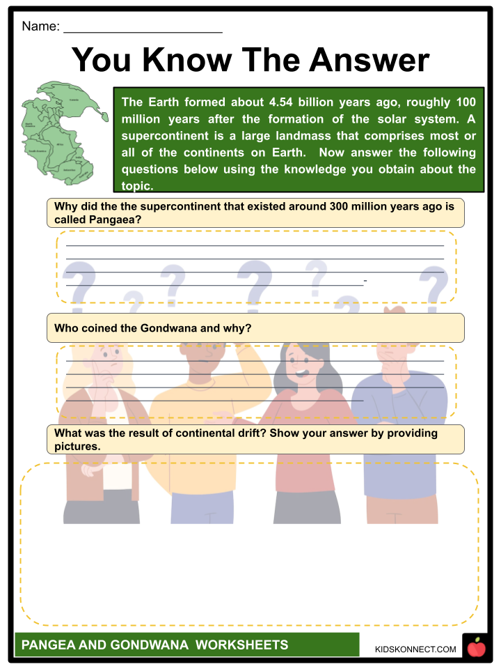
Early in geologic times, a supercontinent called Pangea, sometimes known as Pangaea, included almost all of the planet’s landmasses. Gondwana was created by continental collisions in the Late Precambrian, as shown by plate tectonic data (1 and 542 million years ago.). Gondwana merged with North America, Europe, and Siberia to create the supercontinent of Pangea.
See the fact file below for more information on Pangea and Gondwana, or you can download our 30-page Pangea and Gondwana worksheet pack to utilize within the classroom or home environment.
Key Facts & Information
HISTORY
- The Panthalassa global ocean, which was largely completed by the Early Permian Epoch, surrounded Pangea (between roughly 299 million and 273 million years ago).
- During the Early Jurassic Epoch, which lasted from 201 million to 174 million years ago, the supercontinent started disintegrating. Eventually, the present-day continents, as well as the Atlantic and Indian seas, were established.
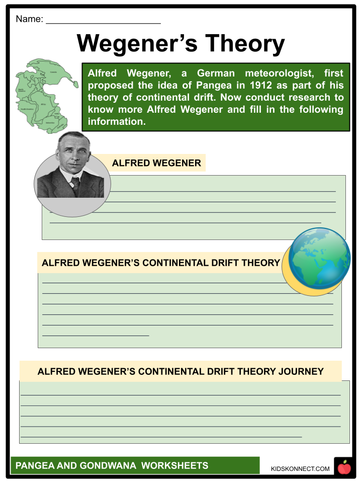
- Alfred Wegener, a German meteorologist, first proposed the idea of Pangea in 1912 as part of his theory of continental drift.
- The Greek word pangaia, meaning “the entire Earth,” is whence the word gets its name.
FORMATION
- By the Devonian Period (419.2 million to 358.9 million years ago), the formation of Pangea’s constituent land masses was well underway as the paleo continents Laurentia (consisting of the stable interior of North America, or the craton), and Baltica (consisting of the stable interior of Eastern Europe), joined with the several smaller microcontinents to form Euramerica.
- The ancient continent Gondwana, a paleocontinent that would ultimately break up to form South America, India, Africa, Australia, and Antarctica, collided with and united the southern section of Euramerica around the start of the Permian Period (298.9 million to 252.2 million years ago) (a paleocontinent made up of North America and southern Europe).
- Pangea was finally put together when the Angaran craton of Siberia fused with that united continent in the midst of the Early Permian.
GEOGRAPHY
- Pangea had a C-shape, with the majority of its mass extending between the polar regions of Earth.
- The Tethys Sea, or Tethys Ocean, was an embayment that was part of the supercontinent’s eastern curve. During the early stages of Pangea’s construction, the Paleo-Tethys Ocean began to take shape.
- After the Cimmerian superterrane, also known as the Cimmerian continent, split off from northern Gondwana and rotated northward, this ocean was gradually replaced by the Neo-Tethys Ocean.
- Cathaysia, a tiny continent that extended past the eastern limit of Angara and included the landmasses of both North and South China, was on the edge of Pangea.
- At the eastern tip of the Paleo-Tethys Ocean and within the western Panthalassic Ocean, respectively, was Cathaysia.
- Microcontinents, basaltic volcanic island arcs, oceanic plateaus, and trenches were also present in both seas as dispersed pieces of continental crust.
- Later, the edges of Pangea were joined by these island arcs and other isolated landmasses to create accumulated terranes (landmasses that collide with continents).
- The formation of widespread dry climates in the supercontinent’s tropics during the Permian era resulted from the joining of the different big landmasses into the supercontinent.
- Warm sea surface currents were diverted into far higher latitudes (regions closer to the poles) as low-latitude sea routes closed and cool-water upwelling formed along Pangea’s western coast.
- Where the continents collided, there were extensive mountain-building episodes (orogenies), and the newly formed high mountain ranges had a significant impact on local and regional terrestrial climates.
- Two steep mountain chains one in the tropics orientated east-west and one running north-south that deflected warm marine air into higher latitudes interfered with the east-west atmospheric flow in the temperate and higher latitudes.
- The succession of extinction events that occurred close to the end of the Permian Period may have been influenced by these processes.
- The principal home for the majority of marine invertebrates, shallow-water marine basins, were allegedly removed by continental collisions, and regional temperatures were allegedly transformed by Pangea’s north-south orientation, which significantly impacted ocean circulation patterns.
- The Paleo-Tethys and Neo-Tethys basins were also fully blocked by land by the end of the Permian Period, which may have caused water temperatures in shallow locations to rise past the tolerance limits of corals and other creatures (see also Permian extinction).
BREAKUP
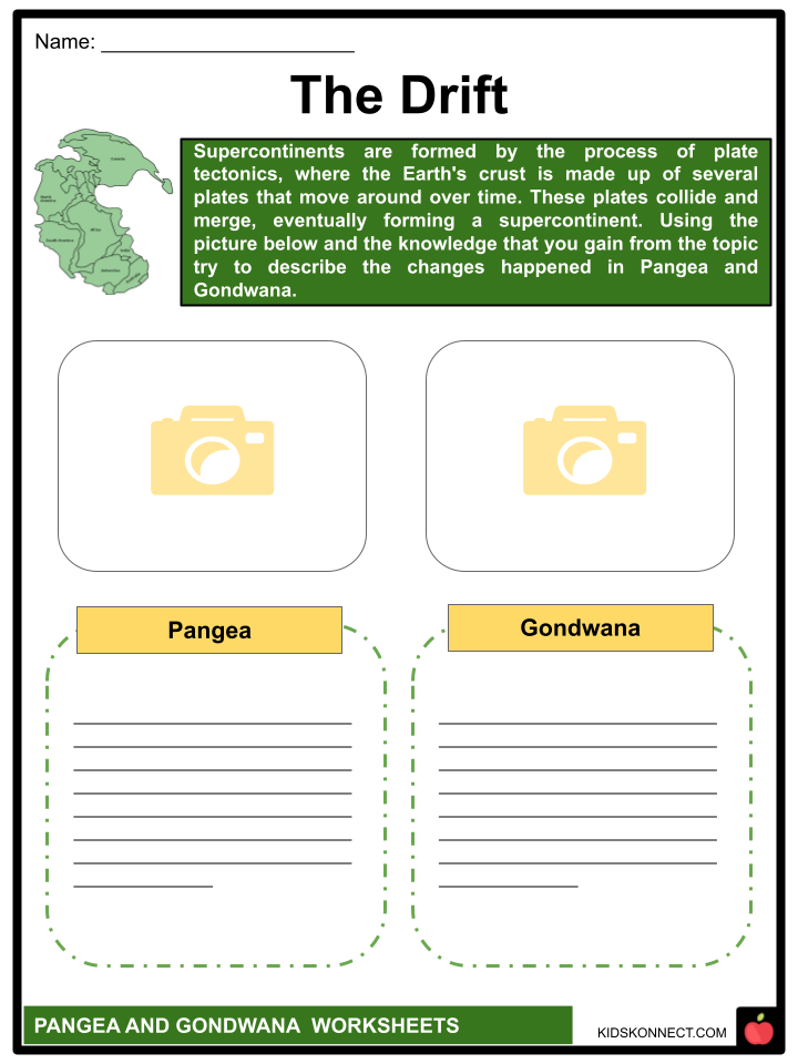
- Instead of Wegener’s outdated theory of continental drift, which claimed that Earth’s continents were previously connected to form the supercontinent Pangea, which persisted for the majority of geologic time, the reason for the breakup of Pangea is today described in terms of plate tectonics.
- According to plate tectonics, the Earth’s lithosphere, or outer shell, is composed of enormous hard plates that move past one another along fault lines, combine at subduction zones, and separate at oceanic ridges.
- The distribution of the seabed suggests that Pangea did not disintegrate suddenly but rather in a series of discrete phases.
- According to the theory of plate tectonics, the continents have come together and split away several times during Earth’s geologic history.
- Around 180 million years ago, the central Atlantic Ocean across northwestern Africa and North America as well as the southwest Indian Ocean between Africa and Antarctica were the first oceans to develop as a result of the split.
- Africa and South America split apart around 140 million years ago, causing the South Atlantic Ocean to open. India split from Australia and Antarctica during the same period, creating the middle Indian Ocean.
- Finally, some 80 million years ago, India broke away from Madagascar, Australia started to rift away from Antarctica, and North America split off from Europe.
- About 50 million years ago, India and Eurasia finally clashed to create the Himalayas.
TECTONIC THEORY RELEVANCE
- Wegener’s work from 1910 marked the beginning of Pangea’s formal conception.
- Wegener, like numerous scientists before him, was intrigued by how similar the coasts of eastern South America and western Africa were, and he hypothesized that the two continents had previously been united.
- He started toying with the theory that the modern continents were once one giant mass, or supercontinent, that later dispersed during the late Paleozoic Era, which ended around 252 million years ago. Wegener gave the name Pangaea to this ancient continent.
- Although other scientists had hypothesized the existence of such a continent, they had attributed the division of the continents of the present globe to the subsidence or sinking, of substantial chunks of the supercontinent to create the Atlantic and Indian oceans.
- Wegener, on the other hand, claimed that Pangaea’s constituent parts had gradually migrated away over protracted periods of geologic time, covering distances of thousands of kilometers. In 1912, Wegener coined the phrase “continental displacement,” which later became known as “continental drift,” to describe this phenomenon.
- Wegener’s theory was updated in 1937 by South African geologist Alexander L. Du Toit, who proposed the existence of two prehistoric continents, Laurasia in the north and Gondwana in the south.
- Although Wegener was unable to convince scientists of the validity of continental drift, Du Toit’s efforts continued to gather proof of it. However, until the 1960s, when plate tectonics, a replacement hypothesis, was developed, the mechanism behind continental drift remained a mystery.
OTHER SUPERCONTINENTS
- There have likely been a number of supercontinents similar to Pangea over Earth’s lengthy history. One billion years ago, Rodinia, the oldest of those supercontinents, was established during the Precambrian period.
- At the conclusion of the Precambrian period, 600 million years ago, Pannotia, another supercontinent akin to Pangea, came into being. Plate movements in the modern era are bringing the continents back together.
- The Australian Plate is currently crashing into Southeast Asia as Africa has started to collide with southern Europe. Africa, the Americas, and Eurasia will combine during the next 250 million years to produce a supercontinent that will be roughly the size of Pangea.
- The supercontinent cycle or, in honor of Wegener, the Wegenerian cycle is used to describe the episodic assembly of the world’s landmasses (see plate tectonics: Supercontinent cycle).
GONDWANA LAND
- An ancient supercontinent known as Gondwana, sometimes known as Gondwanaland, included the modern continents of South America, India, Arabia, Madagascar, Africa, Australia, and Antarctica.
- The initial stage of its breakdown started in the Early Jurassic Period, or 180 million years ago, and it was fully assembled by the Late Precambrian epoch, or 600 million years ago.
- The Austrian geologist Eduard Suess coined the term “Gondwanaland” in response to the Upper Paleozoic and Mesozoic formations in central India’s Gondwana region, which are analogous to formations of the same age on continents in the Southern Hemisphere.
- In 1620, when maps of Africa and the New World first became accessible, Francis Bacon made the first observation of the similar forms of the coasts of western Africa and eastern South America.
- Pangaea, a single massive landmass, was what he saw (or Pangea). The southern part of this supercontinent was called Gondwana.
- This proof includes the presence of Tillites, glacial deposits that are around 290 million years old and of Permo-Carboniferous age, as well as comparable flora and animals that are not present in the Northern Hemisphere.
- In this context, the common seed fern Glossopteris is specifically mentioned. The Karoo (Karroo) System, Gondwana System, and Santa Catharina System are the names of the rock layers that contain this evidence in South Africa, India, and South America, respectively.
- Additionally, it may be found in Antarctica’s Whiteout conglomerate and Polarstar formations, as well as the Maitland Group in eastern Australia.
- It took until the 1960s for scientists in the Northern Hemisphere to come around to the idea of continental mobility despite the fact that the idea of Gondwana had been widely accepted by their counterparts in the Southern Hemisphere.
- This was when the theory of plate tectonics proved that the ocean basins are not permanent global features and supported Wegener’s theory of continental drift.
- The western and eastern halves of Gondwana (Africa and South America) split 180 million years ago during the Jurassic Period (Madagascar, India, Australia, and Antarctica).
- Africa and South America split around 140 million years ago, causing the South Atlantic Ocean to open.
- India, still connected to Madagascar then, split from Antarctica and Australia, creating the middle Indian Ocean.
- India split from Madagascar during the Late Cretaceous Period, while Australia gradually drifted away from Antarctica.
- The Himalayan mountains were created by the last collision of India and Eurasia around 50 million years ago when the Australian plate was only beginning its collision with Southeast Asia’s southern edge.
Pangea and Gondwana Worksheets
This fantastic bundle includes everything you need to know about Pangea and Gondwana across 30 in-depth pages. These ready-to-use worksheets are perfect for teaching kids about Pangea and Gondwana. Early in geologic times, a supercontinent called Pangea, sometimes known as Pangaea, included almost all of the planet’s landmasses. Gondwana was created by continental collisions in the Late Precambrian, as shown by plate tectonic data (1 and 542 million years ago.). Gondwana merged with North America, Europe, and Siberia to create the supercontinent of Pangea.


Complete List of Included Worksheets
Below is a list of all the worksheets included in this document.
- Pangea and Gondwana Facts
- You Know the Answer
- Drifting Letters
- The Drift
- 7 continents
- Wegener’s Theory
- Supercontinent Puzzle
- Eyes on the Screen
- Our Only Earth
- The Flip
- 1,2,3 Action
Frequently Asked Questions
What is Pangea?
Pangea was a supercontinent that existed around 300 million years ago during the late Paleozoic and early Mesozoic eras. It was comprised of all the major landmasses on Earth at the time and was surrounded by a single large ocean called Panthalassa.
How did Pangea form?
Pangea formed through a process known as plate tectonics, which involves the movement of the Earth’s lithospheric plates. Around 300 million years ago, the plates that made up the Earth’s continents began to move towards each other and eventually collided to form Pangea.
What is Gondwana?
Gondwana was a southern supercontinent that existed from the Neoproterozoic (about 1 billion years ago) until the Jurassic period (about 180 million years ago). It comprised South America, Africa, Antarctica, Australia, and parts of Asia.
How did Gondwana form?
Gondwana formed through a series of continental collisions that occurred over a long period of time. Around 600 million years ago, several smaller landmasses collided to form a larger supercontinent called Rodinia. Over time, Rodinia broke apart, and the southern landmasses merged to form Gondwana.
What evidence supports the existence of Pangea and Gondwana?
There are several lines of evidence that support the existence of Pangea and Gondwana, including similarities in rock formations, fossils, and the shapes of the continents. For example, rocks of the same age and type are found in South America and Africa, suggesting that these continents were once connected. Additionally, the distribution of certain plant and animal fossils across multiple continents supports the idea that they were once part of a single landmass.
Link/cite this page
If you reference any of the content on this page on your own website, please use the code below to cite this page as the original source.
Link will appear as Pangea and Gondwana Facts & Worksheets: https://kidskonnect.com - KidsKonnect, March 16, 2023
Use With Any Curriculum
These worksheets have been specifically designed for use with any international curriculum. You can use these worksheets as-is, or edit them using Google Slides to make them more specific to your own student ability levels and curriculum standards.


