Premium
 Download
Edit
Download
Edit
Download the Bay of Bengal Facts & Worksheets
Click the button below to get instant access to these worksheets for use in the classroom or at a home.
Download This Worksheet
This download is exclusively for KidsKonnect Premium members!
To download this worksheet, click the button below to signup (it only takes a minute) and you'll be brought right back to this page to start the download!
Sign Me Up
Edit This Worksheet
Editing resources is available exclusively for KidsKonnect Premium members.
To edit this worksheet, click the button below to signup (it only takes a minute) and you'll be brought right back to this page to start editing!
Sign Up
Not ready to purchase a subscription? Click to download the free sample version Download sample
Download This Sample
This sample is exclusively for KidsKonnect members!
To download this worksheet, click the button below to signup for free (it only takes a minute) and you'll be brought right back to this page to start the download!
Sign Me Up
Table of Contents
The northeastern region of the Indian Ocean is known as the Bay of Bengal. It is situated geographically beneath the Bengal area, which gave the bay its name during the British Raj and between the Indian subcontinent and the Indochinese peninsula. It is the world’s largest bay or body of water.
See the fact file below for more information about the Bay of Bengal, or you can download our 26-page Bay of Bengal worksheet pack to utilize within the classroom or home environment.
Key Facts & Information
BACKGROUND INFORMATION
- The Bay of Bengal is essential to several countries in South and Southeast Asia.
- Geographically, Bangladesh borders the bay on the north, India on the west and northwest, Myanmar and the Andaman and Nicobar Islands of India on the east.
- Its southern boundary is drawn between the northwestern most point of Sumatra, Indonesia, and Sangaman Kanda, Sri Lanka.
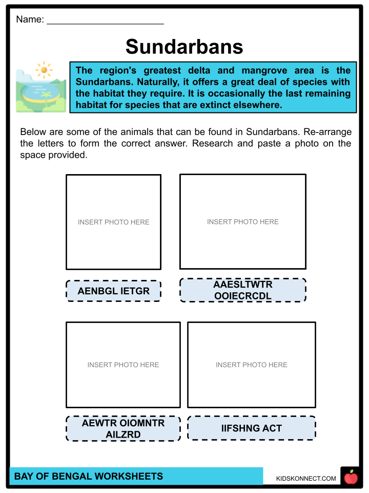
- Along the bay lie Cox’s Bazar, the world’s longest sea beach, and Sundarbans, the largest mangrove forest and Bengal tiger’s native habitat.
CLIMATE
- The monsoons have a major influence on the climate in the Bay of Bengal. Northeast winds, or the northeast monsoon, are typical of the winter season and are produced by a continental high-pressure system located north of the bay from November to April.
- The rainy southwest monsoon predominates during the northern summer (June–September), when high temperatures create a low-pressure system over the continent and an accompanying oceanic airflow.
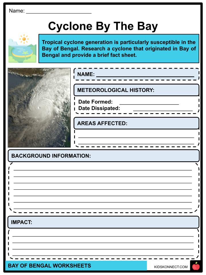
- Cyclones are strong tropical storms characterized by strong winds and heavy precipitation. They usually occur in the spring (April–May) and fall (October–November), during the weeks before and after the monsoon rains begin.
- Approximately five to six cyclones form each year, two of which have the potential to be fatal and intensify, bringing powerful winds, torrential rains, flooding, and even tsunamis to India’s eastern coast.
- Many people and livestock perished in the Ganges River delta in November 1970 as a result of a typhoon.
- The eastern coast of Bangladesh was ravaged by a storm of similar strength in April 1991, and the coastal Indian state of Orissa was destroyed by another strong cyclone in October 1999. There are a lot of water spouts in the bay in the summer.
ISLANDS
- Situated at the confluence of the Bay of Bengal and the Andaman Sea, the 571 islands that make up the union territory of the Andaman and Nicobar Islands are home to 37 inhabited islands.
- The Andaman Sea divides the region from Thailand and Myanmar, and it is located roughly 150 km (93 mi) north of Aceh, Indonesia. It consists of two island groups: the Nicobar Islands and the Andaman Islands (partially).
- The Nicobar Islands are located to the south of this latitude, and the Andaman Islands are located to the north. They are divided by the Ten Degree Channel, which is 150 km wide and runs along the 10°N parallel. To the east and west, respectively, are the Andaman Sea and the Bay of Bengal. It is believed that the island chains represent an underwater continuation of the Arakan Mountains.
- Port Blair is the capital city of the territory. The islands cover about 8,249 km2 of land in total. The region is split up into three districts: the North and Middle Andaman district, which has Mayabunder as its capital, the South Andaman district, which has Port Blair as its capital, and the Nicobar District, which has Car Nicobar as its capital.
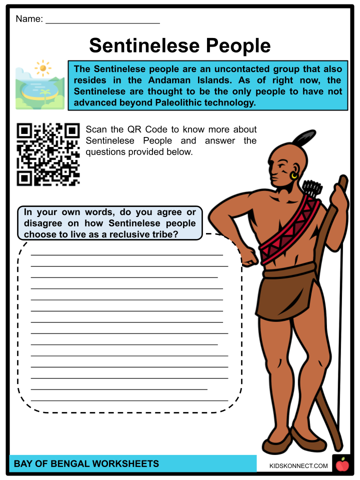
- The Sentinelese people are an uncontacted group that also resides in the Andaman Islands. As of right now, the Sentinelese are thought to be the only people to have not advanced beyond Paleolithic technology; however, this is debatable, given that metallurgy has been discovered on their island.
MAJOR RIVERS
- Large amounts of fresh water from surplus precipitation and river runoff are received by the Bay of Bengal. The Bay of Bengal is the discharge point for several rivers. The majority of these rivers originate in the Bengal region and range in length.
- PADMA RIVER. It is Bangladesh’s principal river. It is the primary Ganges distributary, flowing 356 km in a generally southeast direction to meet the Meghna River close to the Bay of Bengal. Situated on the river’s banks is the city of Rajshahi. The Padma River’s erosion has resulted in the loss of more than 66,000 hectares of land since 1966.
- MEGHNA RIVER. As part of the Surma-Meghna River System, the Surma and Kushiyara, which have their origins in the hilly regions of eastern India as the Barak River, unite to form the Meghna, which is produced inside Bangladesh in Kishoreganj District above the town of Bhairab Bazar.
- BRAHMAPUTRA RIVER. This river crosses three borders: Bangladesh, Northeastern India, and Tibet, China. By discharge, it ranks as the ninth-largest and fifteenth-longest river in the world.
- JAMUNA RIVER. It is the lower reaches of the Brahmaputra River, which has its source in Tibet (Yarlung Tsangpo) and flows through India before entering Bangladesh from the southwest. One of the best examples of a braided river is the Brahmaputra-Jamuna, which is very vulnerable to avulsion and channel migration.
MARINE LIFE
- The Bay of Bengal is among the 64 largest maritime ecoregions in the world. It supports a wide variety of plant and animal species that vary among coral reefs, mangroves, and estuaries. More than 40 different types of fish may be found in the bay, including shark, emperor, grouper, anchovies, shrimp, and tuna.
- The sea snake, Kerilia Jerdonii, is indigenous to the waters and is also mentioned in Hindu mythology.
- Along its coasts are numerous animal sanctuaries and biosphere reserves that are home to endangered species, including leatherback turtles and olive ridley sharks.
- The most well-known beach in the Bay of Bengal is Digha Beach in West Bengal, where one can find the stunning seashell known as the Glory of Bengal Cone.
- Open waters are home to marine life, such as skipjack tuna, marlin, yellowfin tuna, barracudas, and whales.
- The hogfish live in the lagoons and shallow coastal reefs that encircle the shore. Schools of bottlenose, pacific humpback, and spotted dolphins can be seen, as well as about 70 different species of phytoplankton and various kinds of algae.
- The Bay’s warmer coastline waters are home to the renowned Irrawaddy dolphins.
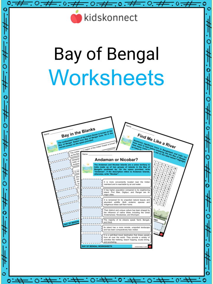
Bay of Bengal Worksheets
This fantastic bundle includes everything you need to know about the Bay of Bengal across 26 in-depth pages. These ready-to-use worksheets are perfect for teaching kids about the Bay of Bengal. It is situated geographically beneath the Bengal area, which gave the bay its name during the British Raj and between the Indian subcontinent and the Indochinese peninsula. It is the world’s largest bay or body of water.
Complete List of Included Worksheets
Below is a list of all the worksheets included in this document.
- Bay of Bengal Facts
- Cyclone by the Bay
- Bay in the Blanks
- Sentinelese People
- Sundarbans
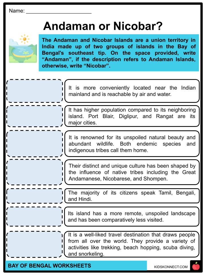
- Andaman or Nicobar?
- Find Me Like a River
- A View by the Bay
- A Cox’s for Help
- Country Style
- Bengal Five
Frequently Asked Questions
What countries border the Bay of Bengal?
The Bay of Bengal is bordered by several countries, including India, Bangladesh, Myanmar, Sri Lanka, and Thailand. It is situated to the east of the Indian subcontinent and to the west of the Indochinese Peninsula.
What is the significance of the Bay of Bengal?
The Bay of Bengal is economically significant for its fisheries, shipping routes, and offshore hydrocarbon resources. It also plays a crucial role in regional weather patterns, influencing the monsoon season in South Asia.
What are some environmental concerns related to the Bay of Bengal?
Environmental concerns in the Bay of Bengal region include pollution from industrial and agricultural runoff, overfishing, habitat degradation, and the impact of climate change, such as sea-level rise and increased frequency of extreme weather events.
Are there any notable natural features in the Bay of Bengal?
The Bay of Bengal is home to several significant natural features, including the Sundarbans mangrove forest, the largest mangrove forest in the world and a UNESCO World Heritage Site. Additionally, the Andaman and Nicobar Islands and various coral reefs are notable features within the bay.
What historical events have occurred in the Bay of Bengal region?
The Bay of Bengal has been the site of various historical events, including maritime trade and cultural exchanges dating back thousands of years. It has also witnessed colonial expansion, conflicts, and natural disasters such as cyclones and tsunamis, which have shaped the region’s history and development.
Link/cite this page
If you reference any of the content on this page on your own website, please use the code below to cite this page as the original source.
Link will appear as Bay of Bengal Facts & Worksheets: https://kidskonnect.com - KidsKonnect, March 20, 2024
Use With Any Curriculum
These worksheets have been specifically designed for use with any international curriculum. You can use these worksheets as-is, or edit them using Google Slides to make them more specific to your own student ability levels and curriculum standards.