Premium  Download Edit
Download the Mount Elbrus Facts & Worksheets
Click the button below to get instant access to these worksheets for use in the classroom or at a home.
Download This Worksheet
This download is exclusively for KidsKonnect Premium members!
To download this worksheet, click the button below to signup (it only takes a minute) and you'll be brought right back to this page to start the download!
Sign Me Up
Edit This Worksheet
Editing resources is available exclusively for KidsKonnect Premium members.
To edit this worksheet, click the button below to signup (it only takes a minute) and you'll be brought right back to this page to start editing!
Sign Up
Not ready to purchase a subscription? Click to download the free sample version Download sample
Download This Sample
This sample is exclusively for KidsKonnect members!
To download this worksheet, click the button below to signup for free (it only takes a minute) and you'll be brought right back to this page to start the download!
Sign Me Up
Table of Contents
Mount Elbrus is Russia’s and Europe’s tallest and most visible summit. It is the tallest mountain in the Caucasus Mountains and is in the western region. The mountain stands in the southern Russian region of Kabardino-Balkaria.
See the fact file below for more information on Mount Elbrus, or you can download our 36-page Mount Elbrus worksheet pack to utilize within the classroom or home environment.
Key Facts & Information
ETYMOLOGY
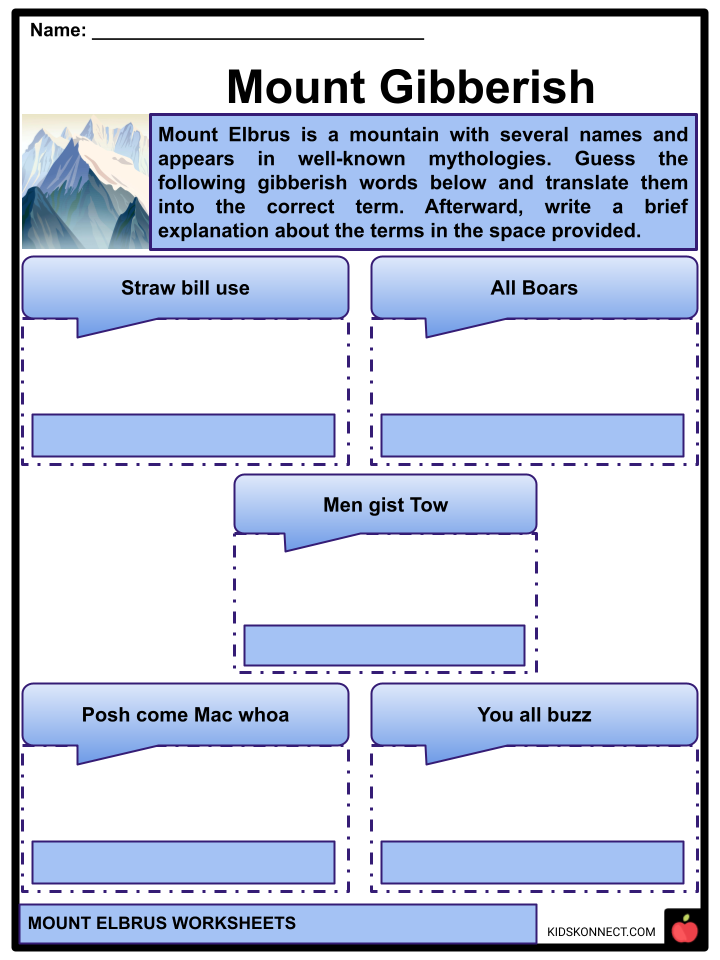
- Mount Elbrus is a mountain with several names and appears in well-known mythologies.
- Elbrus was named “Strobilus” by the ancients, Latin for “pine cone.” It is known to the Balkars as Mengi Tau, meaning “mountain of a thousand mountains.”
- Elbrus is also known as Yalbuz, or “Ice Mane” by the local Turkic citizens, and Oshkhamakhua, or “mountain of Happiness,” by the Circassians.
- In Greek mythology, Zeus tied Prometheus to Mount Elbrus as punishment for stealing fire from the gods and delivering it to humans.
- Elbrus may have gotten its name from Alborz, a famous mountain in Persian mythology that was once known as Harā Bərəzaitī and meant “high sentinel or guard.”
HISTORY
Greek Mythology
- The Periplus of the Euxine Sea, penned in Greek in ca. Arrian, noted Strobilos, a Caucasus peak, in 130: “As we moved from Astelphos toward Dioscurias, we saw Caucasus range.” The name of one Caucasus mountain was Strobilos, where, according to the narrative, Prometheus was hung by Hephaistos on Zeus’ order.”
- Prometheus, the Titan in Greek mythology, was bound in the Caucasus as a punishment for taking fire from the gods and delivering it to humans.
- Some writers, like Douglas Freshfield in The Exploration of the Caucasus (1896), later identified Arrian’s Strobilos, or Latinized Strobilus, with Elbrus.
- Freshfield referred to Elbrus as “pinecone-shaped” for etymological purposes. The term strobilus refers to rotating or twisted things, such as a spinning top or pinecone.
EARLY ASCENTS (1829-1930)
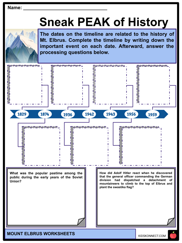
- Khillar Khachirov, an aide for an Imperial Russian army scientific expedition commanded by General Georgi Emmanuel, first scaled the lower of the two peaks on July 22 [O.S July 10] 1829. The higher peak (by roughly 40 m; 130 ft) was scaled in 1874 by an English expedition led by F. Crauford Grove, as well as Frederick Gardner, Horace Walker, and Valais canton guide Peter Knubel and guide Ahiya Sottaiev.
- Mountaineering became a popular pastime among the public during the early years of the Soviet Union, and there was a lot of traffic on the mountain.
- On March 17, 1936, a party of 33 novice Komsomol members tried the peak and were killed when they slid on the ice and plummeted to their deaths.
SECOND WORLD WAR
- During World War II, the Wehrmacht seized the region, encircling the peak with Gebirgsjager from the 1st Peak Division, from August 1942 until February 1943.
- When Adolf Hitler learned that the general officer commanding the German division had dispatched a detachment of mountaineers to climb to the top of Elbrus and plant the swastika flag, he reportedly flew into a rage, calling the achievement a “stunt” and threatening to court-martial the general.
- On February 13 and 17, 1943, USSR army mountaineers erased Nazi swastikas.
POST-WORLD WAR II
- The Soviet Union sponsored Elbrus ascents, and 400 mountaineers climbed it in 1956 to commemorate the 400th year of the incorporation of Kabardino-Balkaria, the Autonomous Soviet Socialist Republic where Elbrus was situated.
- A cable car system carrying guests as high as 3,800 meters (12,500 ft) was completed between 1959 and 1976.
National Park
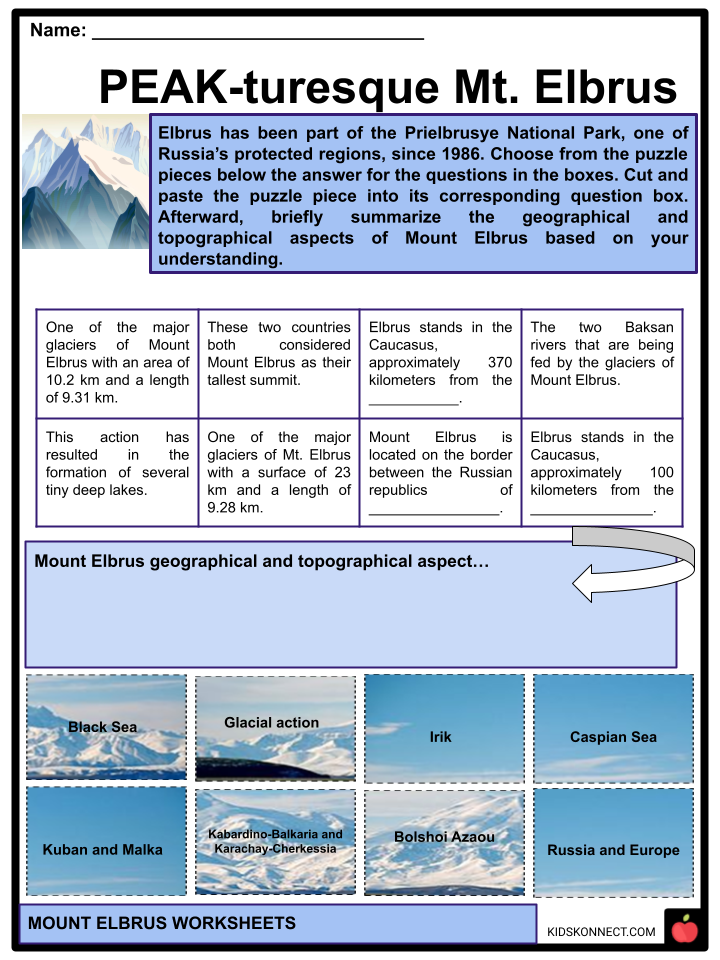
- Elbrus has been part of the Prielbrusye National Park, one of Russia’s protected regions, since 1986.
GEOGRAPHY
- Elbrus stands in the Caucasus, approximately 100 kilometers from the Black Sea and 370 kilometers from the Caspian Sea, a region from which Elbrus may be viewed in clear weather.
- Its elevation is 5,642 meters above sea level. It is located on the border between the Russian republics of Kabardino-Balkaria and Karachay-Cherkessia, eleven kilometers north of the Greater Caucasus Watershed, which marks the boundary with Georgia. It is both Russia’s and Europe’s tallest summit.
TOPOGRAPHY
- Elbrus is a nearly symmetrical dormant volcano on a vertical plane with two main summits on each side of a 5,416-meter-high pass: the western summit is the highest point at 5,642 meters, while the eastern summit climbs to 5,621 meters.
- The 300-400-meter-diameter crater at the summit of the eastern peak eventually filled with snow and ice.
- The volcano’s snowfields occupy an area of 138 km and supply 22 main glaciers and 77 subsidiary glaciers that feed the Baksan rivers: Kuban and Malka.
- Some of these glaciers can be 400 meters thick, yet they are all retreating, losing between 80 and 500 meters in length.
- Bolshoi Azaou (“the Great Azaou”), with a surface of 23 km and a length of 9.28 km, and Irik, having an area of 10.2 km and a length of 9.31 km, are the two biggest. This glacial action has resulted in the formation of several tiny but deep lakes.
GEOLOGY
- The Caucasus is formed by the Arabian Plate colliding with the Eurasian Plate to the north, causing many earthquakes in the region.
- The fault zone is complicated, and the enormous lateral displacement at the level of Anatolia and Iran hinders the formation of subduction phenomena, explaining the mountain range’s scarcity of volcanoes.
- Elbrus formed there 10 million years ago. The volcano’s ejecta spans an area of 260 km2. Fragments of rhyolite and rhyodacite formations, as well as tuff and ignimbrite formations, have been discovered, allowing uranium lead dating to place the origin of the main caldera approximately 700,000 years ago, most likely towards the conclusion of a sizeable eruptive cycle.
- Geochronological dating has demonstrated synchronous eruptive cycles in distinct foci-magmatic layers of the Greater Caucasus, confirming the volcanic activities shared geological genesis.
CLIMATE
- Because Elbrus lies in the Northern Hemisphere, the summer season lasts from June to mid-September, with roughly 50% of bright days appropriate for summit climbs. However, the winds, which are driven by westerly air masses, can become strong, and temperatures drop rapidly.
- Even in the summer, snowstorms with near-zero visibility can develop above 4000 meters above sea level. Wind speeds in excess of 100 km/h are not unusual. In the winter, the temperature at the summit can fall below -50°. The amount of precipitation rises with height.
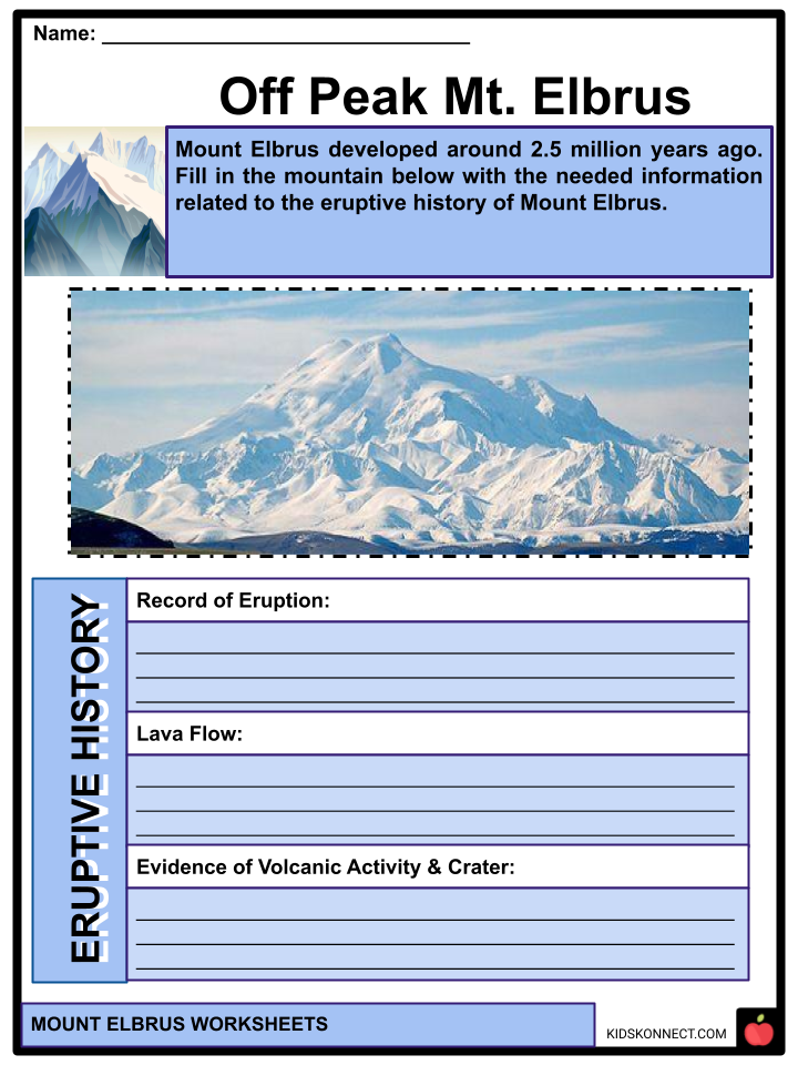
ERUPTIVE HISTORY
- Mount Elbrus developed around 2.5 million years ago. The volcano is now thought to be inactive. Elbrus was active during the Holocene, with the most recent eruption occurring about AD 50, according to the Global Volcanism Program.
- Several new lava flows on the mountain and around 260 km2 (100 sq. mi.) of volcanic debris are evidence of recent volcanism. The longest flow runs down the northeast peak for 24 km (15 miles), indicating a massive eruption. Solfataric activity and hot springs are two further evidence of activity on the volcano. A well-maintained volcanic crater of 250 meters (820 ft) in diameter may be seen on the western peak.
SPECIAL ASCENTS
- Aida Tabelinova, a Kazakh scientist, ascended Mount Elbrus in October 2021 as part of an international humanitarian expedition coordinated by the Russian Geographical Society’s Youth Club and Rossotrudnichestvo.
- A year earlier, British Muslim climber Akke Rahman performed a charity climb for the Global Relief Trust in one day, without acclimatization or using oxygen, and just days after recovering from a COVID-19 infection.
By Vehicle
- In 1997, a team led by Russian climber Alexander Abramov rode a Land Rover Defender to the top of the East Peak, achieving a Guinness World Record. The entire process took 45 days. They could drive the automobile up to The Barrels (3,800 m (12,500 ft)), but they needed to use a pulley system to go the rest of the way up.
- A motorist lost control of his vehicle on the way down and had to leap out. Despite his survival, the car fell into the rocks and remains below the peak to this day. In 2016, Russian climbing enthusiasts Artyom Kuimov and Sergey Baranov set a Guinness World Record by riding ATVs to the summit of Elbrus.
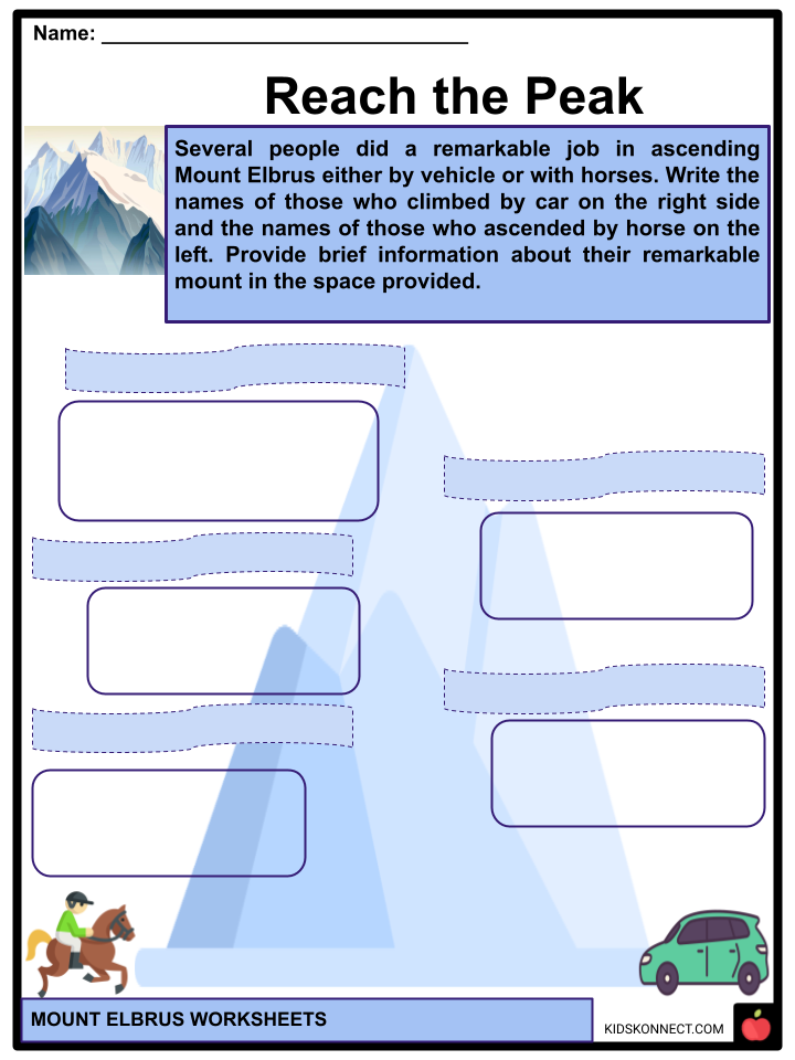
With Horses
- In August 1998, climbers from the Karachai-Cherkess Republic became the first to ride horses up Mount Elbrus. Imbir, Daur, and Khurzuk were Karachai horses with unique horseshoes with detachable steel spikes. The same Karachai riders performed a second equestrian ascent in August 1999, with a Karachai horse (Igilik) reaching the higher western top.
- In 2019, the Karachai horseman Aslan Khubiev ascended with the Karachai horses Bz and Damly, assisted by the Balkar guides Aslan Altuev and Askhat Guzoev.
- On September 4, 2020, a fourth equestrian ascension was conducted. The western top was reached by two Karachai riders, Ramazan Alchakov and Abrek Ediev, as well as their Russian companion Ivan Kulaga and two Karachai horses, Almaz and Dzhigit.
- On September 23, 2020, the Karachai horseman Taulan Achabaev, his cousin Rustam Achabaev, and the stallion Bahr reached the higher western top accompanied by the Balkar guide Aslan Altuev.
TRAVEL SAFETY
- Travel to Mount Elbrus became more dangerous after the downfall of the USSR and until the early 2010s due to economic concerns, military conflicts in numerous Caucasus republics, and, subsequently, the North Caucasus insurgency.
- Mount Elbrus is quickly becoming a popular domestic Russian tourist attraction, with 424,000 tourists expected in 2020.
- As of 2019, the US Department of State provides travel advice against ascending the summit, as well as traveling to the North Caucasian Federal District overall, due to the risk of terrorism and political instability. Due to terrorism, abduction, and the danger of civil disturbance, the US State Department warned travelers not to go to Mount Elbrus in June 2022.
INFRASTRUCTURE
- Eleven scientists built a tiny cabin at 4,160 meters and named it “Priyut 11” (“Refuge of the 11”) in 1929. In 1932, a bigger hut for 40 people was erected on the same site. A wilderness lodge was constructed in the saddle between the two summits in 1933, but it burned down after only a few years. Its ruins are still visible.
- In 1939, the Soviet Intourist tourism organization constructed another structure, coated in aluminum siding, a bit above the “Priyut 11” location at 4,200 meters. It was designed to accommodate Western visitors urged to climb Mount Elbrus on commercial, guided trips paid for in foreign money.
- Not long after, this house was turned into a mountain barracks, acting as a base for Soviet and then German forces during World War II’s Battle of the Caucasus.
- This hut burned down on August 16, 1998, after the cooking burner toppled over. Following that, in the summer of 2001, the new “Diesel hut” was erected a few meters below its ruins, so named because it is located on the location of the previous diesel generating station. There is another six-person accommodation at the end of the brief chairlift above the second cableway portion.
Pruitt Hut Outhouse
The ‘world’s nastiest’ outhouse, located adjacent to the ancient, burned-out Pruitt Hut on Mount Elbrus, is the highest toilet in Europe, at 4,200 m (13,8000 feet).
Outside magazine bestowed the honor following a 1993 search and feature. The “outhouse” is perched on the end of a rock, surrounded by and covered with ice.
Observatory
- The Terskol Observatory, with the IAU designation B18, is located 2.5 kilometers northwest of Terskol hamlet at an elevation of 3,090 meters (10,140 feet).
ACTIVITIES
Ski Lifts
- Three ski lifts transport guests to an elevation of 3,847 meters. The first portion was serviced until the mid-2000s by the Elbrouz-1 cable car, construction of which began in 1959.
- It begins from the Azaou road at 2,180 meters above sea level in the valley and proceeds to the ancient viewpoint (Stari Krougozor) at 2,970 meters; at the foot of the terminal tongue of the Mali glacier Azaou, which has receded since the facility’s construction. It is 1,740 meters long and drops 650 meters.
- The second portion, completed in 1976, leads to the Mir station, located at 3,470 meters. It has a length of 1,800 meters and a drop of 500 meters. Finally, the final leg is a single-seat chairlift, which saves hikers an hour’s trek to the Garabachi huts at an elevation of 3,847 meters. It is 1,000 meters long and has a drop of 250 meters. It was built in the late 1970s.
- The first portion of the cable car was renovated to meet safety criteria in December 2006, owing to the building of a new cable car beside the previous one. To access the second portion, a new cable car was installed in August 2009. The gondola was placed into service on December 27, 2015, becoming Europe’s second-highest gondola after that of Zermatt in Switzerland, which is 3,883 meters high. It can accommodate 750 passengers each hour.
Mountaineering
- There are several paths up the mountain, but the most common and least dangerous route goes more or less straight up the hill from the end of the cable car system. Elbrus is infamous for its harsh winter conditions, and summit attempts are rare. Although the climb is not technically challenging, it is physically demanding due to the altitude and the frequent strong gusts.
- Elbrus’ yearly mortality toll is between 15 and 30, owing mostly to “many unorganized and poorly equipped” efforts to reach the mountain’s peak.
- The traditional method, on the southern slope, is the easiest, safest, and quickest, employing ski lifts to the Garabachi 36 refuges, which provide 11 cylinder cabins (the “barrels”) of 6 beds each and a total of 80 docks, filled with water from the melting glaciers in summer and electric heating.
- The path is properly marked, although going more than fifty meters off can be dangerous due to the few crevasses or inadequate equipment. A version enables you to reach the Diesel refuge from the Ice camp, located at an elevation of 3,680 meters.
- An emergency shelter, station EG 5300, was built on Elbrus’ “saddle” between the eastern and western summits in September 2012.
- The shelter, however, was blown away by winds in December of the same year. The Russian Mountaineering Federation erected a new, more modest emergency shelter capable of sheltering four to six people 300 meters from the EG 5300 station in 2013.
Elbrus Race
- The very first race on Elbrus was held in 1990, with climbers from the Soviet Union and the United States competing.
- Periodic competitions started in 2005, with two climbing options available: a “classic” ascent from “Barrels” at 3,708 m (12,165 ft) to the western summit (5,642 m (18,510 ft) and a long ascent from Azau Meadow at 2,350 m (7,710 ft) to the same peak. Denis Urubko completed the lengthy ascent in 3 hours, 55 minutes, and 59 seconds in 2006.
- The Polish Mountaineering Association dispatched a 13-person training squad to the Artur Hajzer program “Polish Winter Himalayism 2010-2150” on September 24, 2010. Andrzej Bargiel broke the long course record with a time of 3 hours, 23 minutes, 37 seconds.
- Karl Egloff, a Swiss-Ecuadorian mountain guide, established the record time for the complete race, ascent, and descent of the long route on May 7, 2017. He peaked at 3:24:14, 37 seconds slower than Bergiel’s record ascent-only time. Nevertheless, the race organization and the International Skyrunning Federation consider Egloff’s ascent record as well.
Mount Elbrus Worksheets
This fantastic bundle includes everything you need to know about Mount Elbrus across 36 in-depth pages. These ready-to-use worksheets are perfect for teaching kids about Mount Elbrus. The mountain stands in the southern Russian region of Kabardino-Balkaria.
Complete List of Included Worksheets
Below is a list of all the worksheets included in this document.
- Mount Elbrus Facts
- Mount Gibberish
- Sneak PEAK of History
- PEAK-turesque Mt. Elbrus
- Creative Peak
- Facts Can Move Mountains
- Off Peak Mt. Elbrus
- Reach the Peak
- Peak-quently Asked Questions
- My Top PEAKS Activities
- sPEAK Up Your Mind!
Frequently Asked Questions
Where is Mount Elbrus located?
Mount Elbrus is located in the Caucasus Mountains, which span the border between Russia and Georgia. It specifically lies in the Kabardino-Balkarian Republic of Russia.
What is the elevation of Mount Elbrus?
Mount Elbrus is the highest mountain in Europe, with its elevation varying slightly depending on different measurements. The most commonly accepted elevation is around 5,642 meters (18,510 feet).
Is Mount Elbrus an active volcano?
Yes, Mount Elbrus is considered to be a dormant volcano. Although it is not currently active, its last confirmed eruption was estimated to have occurred around 2,000 to 3,000 years ago.
What is the best time to climb Mount Elbrus?
The best time to climb Mount Elbrus is during the summer months of June to September. This period offers the most stable weather conditions and least amount of snow and ice on the mountain. It is essential to avoid the harsh winter months due to extreme cold and hazardous conditions.
Are there any climbing routes up Mount Elbrus?
Yes, there are several climbing routes up Mount Elbrus, but the two most popular ones are the South Route and the North Route. The South Route, which starts from the Azau glade, is more frequently used and considered less challenging than the North Route. However, both routes require proper acclimatization and mountaineering skills. Climbers should consider hiring experienced local guides for a safer ascent.
Link/cite this page
If you reference any of the content on this page on your own website, please use the code below to cite this page as the original source.
Link will appear as Mount Elbrus Facts & Worksheets: https://kidskonnect.com - KidsKonnect, August 23, 2023
Use With Any Curriculum
These worksheets have been specifically designed for use with any international curriculum. You can use these worksheets as-is, or edit them using Google Slides to make them more specific to your own student ability levels and curriculum standards.


