Premium
 Download
Edit
Download
Edit
Download the Peace River Facts & Worksheets
Click the button below to get instant access to these worksheets for use in the classroom or at a home.
Download This Worksheet
This download is exclusively for KidsKonnect Premium members!
To download this worksheet, click the button below to signup (it only takes a minute) and you'll be brought right back to this page to start the download!
Sign Me Up
Edit This Worksheet
Editing resources is available exclusively for KidsKonnect Premium members.
To edit this worksheet, click the button below to signup (it only takes a minute) and you'll be brought right back to this page to start editing!
Sign Up
Not ready to purchase a subscription? Click to download the free sample version Download sample
Download This Sample
This sample is exclusively for KidsKonnect members!
To download this worksheet, click the button below to signup for free (it only takes a minute) and you'll be brought right back to this page to start the download!
Sign Me Up
Table of Contents
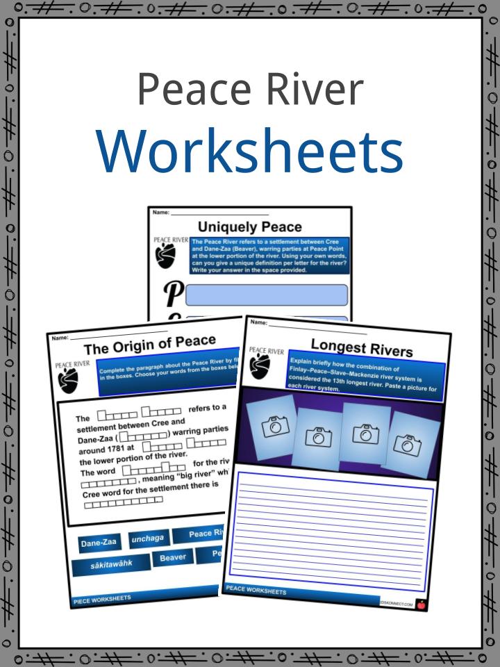
The Peace River is a river in Canada that is 1,923 km long, and one of the principal tributaries of the Mackenzie River system. Peace River originates in the Rocky Mountains of northern British Columbia and flows to the northeast through northern Alberta. The Finlay River, which is the main headwater of the Peace River, is regarded as the ultimate source of the Mackenzie River. The combination of Finlay–Peace–Slave–Mackenzie river system is the 13th longest river.
See the fact file below for more information on the Peace River or alternatively, you can download our 20-page Peace River worksheet pack to utilise within the classroom or home environment.
Key Facts & Information
ETYMOLOGY
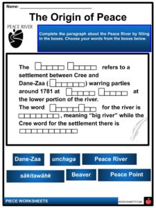
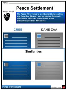
- The Peace River refers to a settlement between Cree and Dane-Zaa (Beaver) warring parties around 1781 at Peace Point at the lower portion of the river. The word Dane-Zaa for the river is unchaga, meaning “big river” while the Cree word for the settlement there is sâkitawâhk.
HISTORY
- The regions along the river are the conventional home of the Danezaa people, also known as Beaver by the Europeans.
- Charles Boyer of the North West Company established a fur trading post at the river’s junction In 1788 with the Boyer River.
- The explorer Alexander Mackenzie travelled up the river to the Continental Divide in 1792 and 1793. Mackenzie referred to the river as Unjegah, from a native word meaning “large river”.
- In 1781 the decades of antagonism between the Dane Zaa and the Cree, (in which the Cree dominated the Dane Zaa) was ended when a smallpox epidemic decimated the Cree. The Treaty of the Peace was celebrated by the smoking of a ceremonial pipe. The treaty made the Peace River a border, with the Dane Zaa to the North and the Cree to the South.
- In 1794, there was built a fur trading post on the Peace River located at Fort St. John; it was the first non-native settlement on the British Columbia mainland.
POST SETTLEMENT
- The Peace River valley in Alberta has rich soil, which resulted in them producing wheat crops since the late 19th century.
- The Peace River region is considered also an important center of oil and natural gas production. There are also pulp and paper plants along the river in Alberta and British Columbia.
- The Peace River has two navigable sections, separated by the Vermilion Chutes near Fort Vermilion.
- The first ship that navigated the Peace River was the steam-powered vessel Grahame, a Hudson’s Bay Company vessel built at Fort Chipewyan, on Lake Athabasca.
- St. Charles was built by the Brothers of the Oblate Order of Mary Immaculate to navigate the upper reaches of the river. from Fort Vermilion to Hudson’s Hope.
- Approximately there were a dozen vessels that navigated the river. Most of the early vessels were wood-burning steamships, fueled by wood cut from the river’s shore.
- The last cargo vessel was the Watson’s Lake, retired in 1952.
RIVER COURSE
- This river is 1,923 kilometres long from the head of Finlay River to Lake Athabasca. Peace drains an area of approximately 302,500 square kilometres (116,800 sq mi).
- At Peace Point, where it drains in the Slave River, there is discharge of 68.2 billion cubic metres (55,300,000 acre⋅ft) annually.
- Williston Lake, a large man-made lake, has been formed by the construction of the W. A. C. Bennett Dam on the upper reaches for hydroelectric power generation.
- Prior to its flooding, the convergence of the Finlay and Parsnip Rivers at Finlay Forks was marked. A half mile east of that location were the half-mile long Finlay Rapids and a further seven miles east is the Peace Pass, which separates the Muskwa Ranges and the Hart Ranges of the Canadian Rockies.
- Peace is the only river cutting completely through the Rockies.
- Peace River flows into Dinosaur Lake, a reservoir for the Peace Canyon Dam.
- After the dams, the river flows east into Alberta and then continues north and east into the Peace-Athabasca Delta in Wood Buffalo National Park, at the western end of Lake Athabasca. Water from the delta flows into the Slave River east of Peace Point and reaches the Arctic Ocean via the Great Slave Lake and Mackenzie River.
COMMUNITIES
- There are numerous provincial parks and wildland reserves established on the river. Included are the Butler Ridge Provincial Park, Taylor Landing Provincial Park, Beatton River Provincial Park, Peace River Corridor Provincial Park in British Columbia and Dunvegan Provincial Park, Dunvegan West Wildland, Peace River Wildland Provincial Park, Greene Valley Provincial Park, Notikewin Provincial Park, and Wood Buffalo National Park in Alberta.
- These are the communities directly located on the river: Hudson’s Hope, British Columbia, Taylor, British Columbia, Peace River, Alberta, Fort Vermilion, Alberta.
- There are few Indian reserves that are located on the river banks, among them Beaver Ranch 163, John D’Or Prairie 215, Fox Lake 162, Peace Point 222 and Devil’s Gate 220.
Peace River Worksheets
This is a fantastic bundle which includes everything you need to know about the Peace River across 20 in-depth pages. These are ready-to-use Peace River worksheets that are perfect for teaching students about the Peace River which is a river in Canada that is 1,923 km long, and one of the principal tributaries of the Mackenzie River system. Peace River originates in the Rocky Mountains of northern British Columbia and flows to the northeast through northern Alberta. The Finlay River, which is the main headwater of the Peace River, is regarded as the ultimate source of the Mackenzie River. The combination of Finlay–Peace–Slave–Mackenzie river system is the 13th longest river.
Complete List Of Included Worksheets
- Peace Facts
- Uniquely Peace
- The Origin of Peace
- Longest Rivers
- Peace Settlement
- Mackenzie Biography
- Peace River Page
- Peace Timeline
- Their Purpose
- River Flows
- Peace River Town
Link/cite this page
If you reference any of the content on this page on your own website, please use the code below to cite this page as the original source.
Link will appear as Peace River Facts & Worksheets: https://kidskonnect.com - KidsKonnect, January 24, 2020
Use With Any Curriculum
These worksheets have been specifically designed for use with any international curriculum. You can use these worksheets as-is, or edit them using Google Slides to make them more specific to your own student ability levels and curriculum standards.