Premium
 Download
Edit
Download
Edit
Download the Sunda Arc of Indonesia Facts & Worksheets
Click the button below to get instant access to these worksheets for use in the classroom or at a home.
Download This Worksheet
This download is exclusively for KidsKonnect Premium members!
To download this worksheet, click the button below to signup (it only takes a minute) and you'll be brought right back to this page to start the download!
Sign Me Up
Edit This Worksheet
Editing resources is available exclusively for KidsKonnect Premium members.
To edit this worksheet, click the button below to signup (it only takes a minute) and you'll be brought right back to this page to start editing!
Sign Up
Not ready to purchase a subscription? Click to download the free sample version Download sample
Download This Sample
This sample is exclusively for KidsKonnect members!
To download this worksheet, click the button below to signup for free (it only takes a minute) and you'll be brought right back to this page to start the download!
Sign Me Up
Table of Contents
The Sunda Arc is a volcanic arc that formed the active volcanoes that comprise the topographic spine of Sumatra, Nusa Tenggara, Java, the Sunda Strait, and the Lesser Sunda Islands. The Sunda Arc connects Sumatra to Flores and runs parallel to the Banda Arc.
See the fact file below for more information about the Sundu Arc of Indonesia, or you can download our 29-page Sunda Arc worksheet pack to utilize within the classroom or home environment.
Key Facts & Information
GEOLOGY
- According to geodynamic studies, most of the oceanic basin south of Sunda is formed by mid-oceanic ridge basalts (MORB). In the Early Miocene, these tectonic plates began to converge. With a dip angle of 49-56 degrees, the Indo-Australian Plate is sinking under the Eurasian Plate.
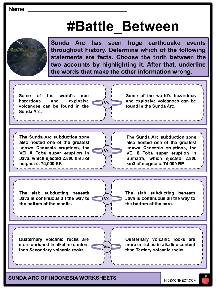
- The slab subducting beneath Java is continuous to the bottom of the mantle. However, the slab looks to be splitting beneath Sumatra Island. Because of the age of the subducting complex, there is no significant seismic activity in Sumatra, according to earthquake depth records.
- Along the Sunda Arc, two types of subduction have been identified: 1) orthogonal collapse along Java and 2) oblique sinking on the Sumatra side. The Sunda Strait separates these subduction zones.
SEISMIC EVENTS
- Sunda Arc has seen huge earthquake events throughout history due to ongoing magmatic processes and the nature of the subduction zone. These disasters resulted in the loss of life and extensive damage along the coast. These are some significant earthquake occurrences that have been documented.
- A 9.15 magnitude earthquake near Sumatra Island generated a tsunami in the Indian Ocean in 2004. The tsunami height in the Banda Aceh area reached 35 meters, exceeding previous records.
- On July 17, 2006, a horrific event occurred, causing widespread devastation in West and Central Java. The Mw-7.7 earthquake-induced tsunami struck over 250 kilometers of coastline, killing over 600 people. The run-up height was around 4-6 meters.
ERUPTIONS AND ARC VOLCANISM
- Some of the world’s hazardous and explosive volcanoes are in the Sunda Arc. Mount Tambora on Sumbawa in 1815 and Mount Samalas on Lombok in 1257 were considered the largest in the last two millennia, scoring seven on the VEI scale.
- The Sunda Arc subduction zone also hosted one of the greatest known Cenozoic eruptions, the VEI 8 Toba super eruption in Sumatra, which ejected 2,800 km3 of magma c. 74,000 BP.
- Lake Toba was formed as a result of the resultant caldera. The loudest sound in recorded history was heard 5,000 kilometers away during the Krakatoa eruption in 1883.
- Moreover, these eruptions, as well as spurts of activity at other volcanoes like Papandayan, Galunggung, Merapi, Kelud, Sinabung, and Agung, have killed hundreds of thousands of people.
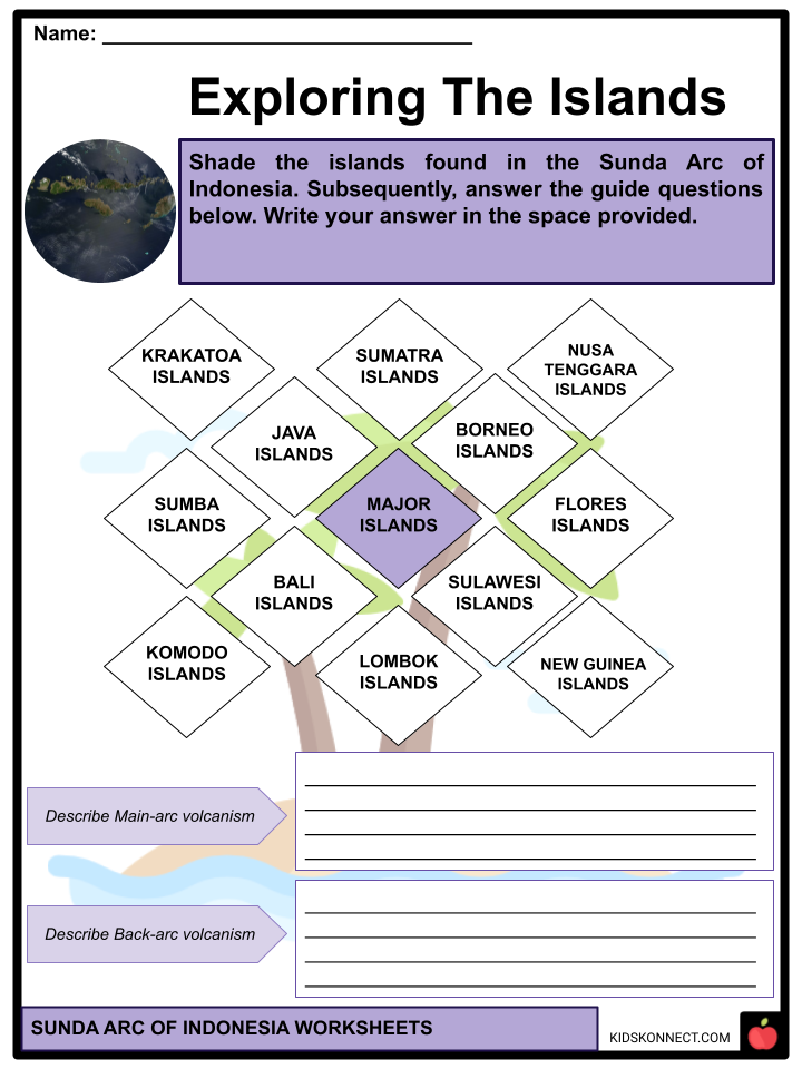
- Main-arc volcanism– The contact between the Indo-Australian Plate and the Eurasian Plate is primarily responsible for the main-arc volcanism along Sunda. Magma is formed by the slight cooling of the underlying wedge caused by fluids from the subducting slab.
- Quaternary volcanic rocks are more enriched in alkaline content than Tertiary volcanic rocks. Except for limited potassic lava production in East Java, most basalts in the arc have calc-alkaline components.
- Back-arc volcanism- The magmatic actions within the back-arc may or may not be related to the materials in the main arc. Magma and lava have formed from molten elements more profound in the mantle. The most notable volcanoes in the back-arc region are Lasem, Muria, and Bawean, whose volcanic rocks exhibit complicated patterns in terms of chemical signature.
MAJOR ISLANDS
- Java- Java Island is situated on the eastern side of the Sunda Arc, near Sumatra and Bali. Its oceanic crust is approximately 20-25 kilometers thick.
- Because of the geological activity and tectonic character of the Sunda Arc, megathrust earthquakes and eruptions of volcanoes are common on Java island. There are around 62 geothermal fields on Java island that can be used for a variety of purposes, including the generation of power.
- East Java-The majority of the volcanic activity in East Java is of the Plinian type, which is quite explosive and releases columns of hot volcanic debris. The andesitic magma, which differs from typical island-arc magma, is connected with porphyry deposits. There has been proof that the Ringgit-Beser volcano system generates potassium and magnesium lava and might be a subduction-related material’s decreasing influence. Mount Bromo is a prominent volcano in East Java.
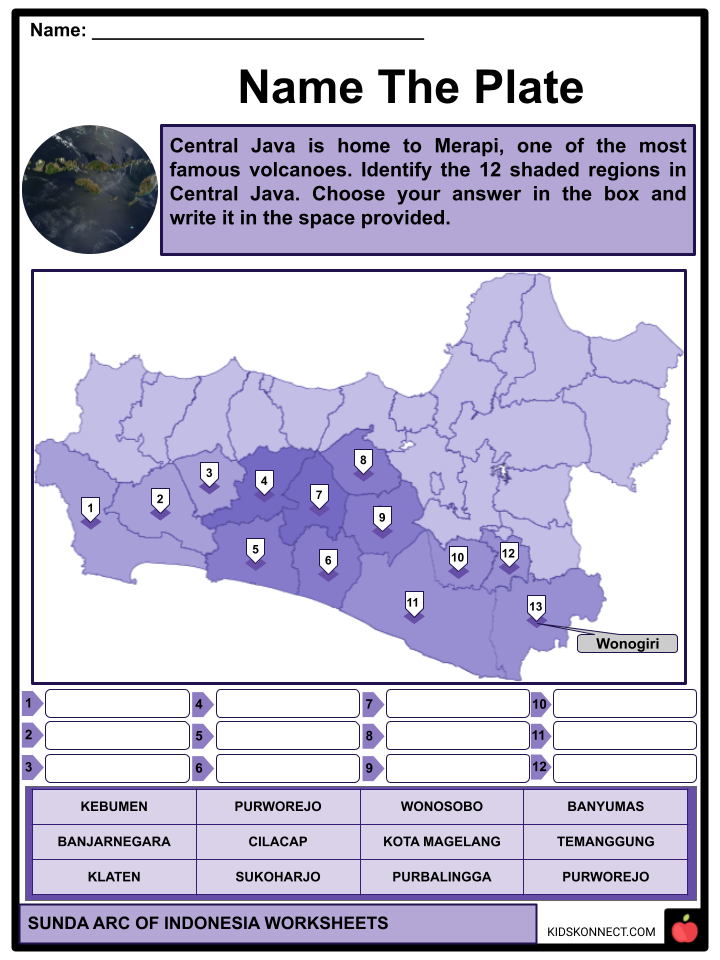
- Central Java– Central Java has two significant arcs, the Southern Mountain Arc (SMA) and the Modern Volcanic Arc (MVA), which cause frequent volcanic activity. Previous research revealed that SMA occurred during the Middle Eocene, followed by subduction that led to MVA creation in the Late Eocene. Central Java is home to Merapi, one of the most famous volcanoes, and other prominent eruptions, including Merbabu, Muria, and Slamet.
- Meanwhile, Mount Merapi is Indonesia’s most active volcano, erupting every 2-6 years and exhibiting perennial volcanic activity dating back around 2000 years based on carbon isotopic fingerprints. The earliest eruption is thought to have occurred some 40,000 years ago. Significant outbreaks occurred in 1994, 2006, and 2010.
- Moreover, Mount Merapi is a steep stratovolcano on Central Java Island, with seismic and volcanic activity that could endanger countless lives and facilities along its path.
- West Java– Volcanic activity in this region began around the Pliocene or Pleistocene epoch. The volcanic front (VF) and the rear arc (RA) are significant volcanic zones with distinct chemical fingerprints. The geochemical analysis of major and trace elements, as well as the isotopic traces of lava, have demonstrated steady-state subduction and continuing magma replenishment for around 10 Ma. West Java’s volcanic rocks date back to the Eocene epoch. West Java’s basement is the continental lithosphere, as evidenced by crustal absorption and contaminants in volcanic rocks.
- Krakatoa– Since the 1950s, the island of Anak Krakatau has grown at a rate of five inches (13 cm) weekly. Since 1994, quiet intervals of a few days have alternated with practically constant Strombolian eruptions. The Krakatoa eruption caused a tsunami with a 41-meter run-up in 1883 CE. The magnitude of the devastation reached Panama, which was located about 19,300 kilometers away from the epicenter.
- Sumatra– Sumatra Island lies on the Sunda Arc southwest side. Sumatra’s central seismic zone is the Sumatra Fault System (SFS), extending from NW-SE. The sinking oceanic crust is approximately 50 to 90 million years old.
- According to data gathered from the plutonic body on Barisan Mountain, subducted-related magmatism in Sumatra began around the early Mesozoic. Furthermore, the primary mineralization discovered in Sumatra is epithermal veins of Au, Ag, Zn, Pb, and other metals, which are associated with arc volcanism and intrusive volcanism bodies. On the other hand, Mount Sinabung is an andesite and dacite stratovolcano in North Sumatra Karo plateau, 40 kilometers (25 miles) from the Lake Toba supervolcano. It has been operational since 2013.
- Nusa Tenggara– Nusa Tenggara is located on the east side of the Sunda Arc. Since the difficulty of access, data, and study on this island are rare compared to Java.
- Moreover, Mount Tambora, an active volcano, erupted in 1815, causing global climate anomalies, resulting in the Year Without a Summer. Seismic studies have revealed clusters of seismic events, which the collision zone could cause.
Sunda Arc of Indonesia Worksheets
This fantastic bundle includes everything you need to know about the Sunda Arc of Indonesia across 29 in-depth pages. These ready-to-use worksheets are perfect for teaching kids about the Sundu Arc. The Sunda Arc is a volcanic arc that formed the active volcanoes that comprise the topographic spine of Sumatra, Nusa Tenggara, Java, the Sunda Strait, and the Lesser Sunda Islands.

Complete List of Included Worksheets
Below is a list of all the worksheets included in this document.
- Sunda Arc of Indonesia Facts
- #Battle_Between
- Vocabulary Exercise
- Exploring The Islands
- Name The Plate
- #IsLANDERS
- Read, Observe, Answer!
- Analogy Arc
- Critique Time
- 3T: Tic-Tac-Toe
- Hunting Active
Frequently Asked Questions
What is the Sunda Arc?
The Sunda Arc, also known as the Sunda Megathrust or Sunda Subduction Zone, is a geological feature in Southeast Asia. It is a tectonic plate boundary where the Australian Plate is subducting beneath the Eurasian Plate. This subduction zone is responsible for significant seismic activity and the formation of volcanic islands.
Where is the Sunda Arc located?
The Sunda Arc stretches along the western and southern coasts of Indonesia, from the Andaman Sea in the northwest to the Banda Sea in the southeast. It encompasses a large part of the Indonesian archipelago, including well-known islands like Sumatra, Java, Bali, and the Lesser Sunda Islands.
What are the geological consequences of the Sunda Arc?
The Sunda Arc is associated with several geological phenomena, including volcanic eruptions and earthquakes. The subduction of the Australian Plate beneath the Eurasian Plate generates magma that rises to the surface, leading to the formation of volcanoes. Additionally, the intense tectonic forces at the subduction zone cause earthquakes, some of which can be highly destructive.
Has the Sunda Arc been responsible for major geological events?
Yes, the Sunda Arc has been responsible for several major geological events throughout history. Notably, the 2004 Indian Ocean earthquake and tsunami, which was one of the deadliest natural disasters in recorded history, originated from a massive undersea earthquake along the Sunda Megathrust.
How does the Sunda Arc impact the region’s geology and geography?
The ongoing subduction and volcanic activity along the Sunda Arc have significant implications for the region. It contributes to the formation of new land through volcanic eruptions, shapes the topography of Indonesia, and poses geological hazards such as earthquakes, tsunamis, and volcanic eruptions that can impact local communities and infrastructure. Additionally, it plays a role in the complex geological evolution of Southeast Asia.
Link/cite this page
If you reference any of the content on this page on your own website, please use the code below to cite this page as the original source.
Link will appear as Sunda Arc of Indonesia Facts & Worksheets: https://kidskonnect.com - KidsKonnect, October 5, 2023
Use With Any Curriculum
These worksheets have been specifically designed for use with any international curriculum. You can use these worksheets as-is, or edit them using Google Slides to make them more specific to your own student ability levels and curriculum standards.