Premium  Download Edit
Download the Great Lakes Facts & Worksheets
Click the button below to get instant access to these worksheets for use in the classroom or at a home.
Download This Worksheet
This download is exclusively for KidsKonnect Premium members!
To download this worksheet, click the button below to signup (it only takes a minute) and you'll be brought right back to this page to start the download!
Sign Me Up
Edit This Worksheet
Editing resources is available exclusively for KidsKonnect Premium members.
To edit this worksheet, click the button below to signup (it only takes a minute) and you'll be brought right back to this page to start editing!
Sign Up
Not ready to purchase a subscription? Click to download the free sample version Download sample
Download This Sample
This sample is exclusively for KidsKonnect members!
To download this worksheet, click the button below to signup for free (it only takes a minute) and you'll be brought right back to this page to start the download!
Sign Me Up
Table of Contents
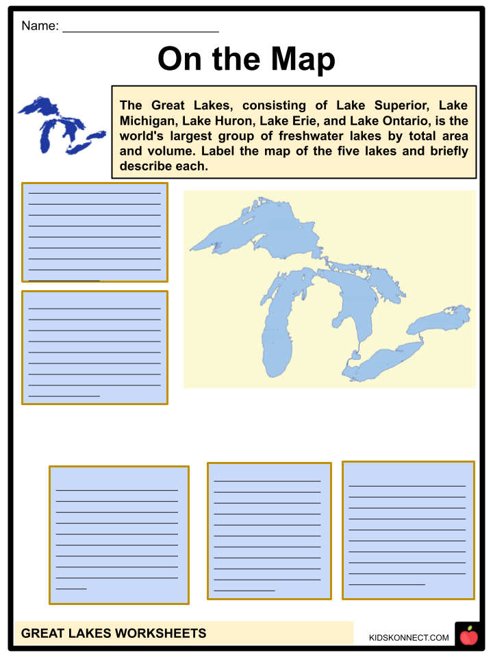
East-central North America is home to five large lakes known as the Great Lakes. They store 21% of the freshwater on the planet’s surface. The lakes are Lake Michigan, Lake Huron, Lake Erie, Lake Ontario, and Lake Superior.
See the fact file below for more information on Great Lakes, or you can download our 28-page Great Lakes worksheet pack to utilize within the classroom or home environment.
Key Facts & Information
GEOGRAPHY
- Between Canada and the United States of America, there are four Great Lakes. The other, Lake Michigan, is entirely within American territory.
- They make up the world’s largest collection of freshwater lakes when measured in volume. None of the lakes are bigger than Lake Tanganyika in East Africa or Lake Baikal in Russia.
- On the shores of the Great Lakes or their rivers are the cities of Chicago, Illinois (9.8 million residents on Lake Michigan), Toronto, Ontario (5.5 million residents on Lake Ontario), Detroit, Michigan (5.3 million residents on the Detroit River), Montreal, Quebec (3.9 million residents in St. Lawrence River), Cleveland, Ohio (2.9 million residents on Lake Erie), Buffalo, and Ottawa, Ontario (1.2 million residents on the Ottawa River).
- The five lakes comprise a single, connected freshwater body despite having separate basins. The lakes link the Atlantic Ocean to North America’s east-central interior.
- Ships can easily navigate between Lakes, Michigan, Huron, and Erie because they are roughly the same height.
- Water travels through the Detroit River into Lake Erie, Niagara Falls into Lake Ontario, Lake Superior, Lake Michigan into Lake Huron, and finally, to the Atlantic Ocean from the river of Saint Lawrence. also empties into the south.
- Through a wide basin, numerous rivers empty into lakes. There are around 35,000 islands in the lakes. The five major lakes and thousands of smaller lakes, often interior lakes, are all part of the Great Lakes region.
- In 2013, the waters of Lake Michigan and Lake Huron fell to all-time lows.
- Large waves known as seiche may occur due to the Great Lakes’ unusual form. The water level on one side of a lake will decrease and abruptly push up the water level on the other if a storm generates a rapid, substantial increase in air pressure on that side. In 1954, a wave in Chicago that was ten feet tall killed several people.
FISHING AND RECREATION
- Commercial fishing was formerly a significant industry on the lakes that has since collapsed due to the disappearance of the more desired species.
- But for some species, including whitefish, a small amount of fishing for business is still done.
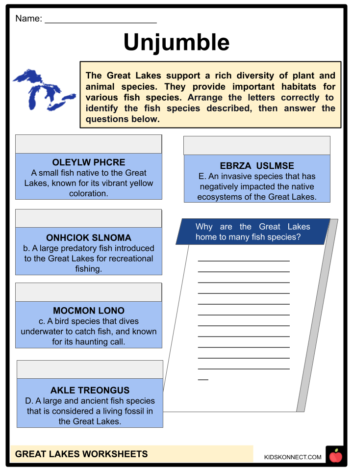
- The focus has shifted to sport fishing, which has developed into a sizable sector based on coho and lake trout, walleye, chinook salmon, and rainbow trout.
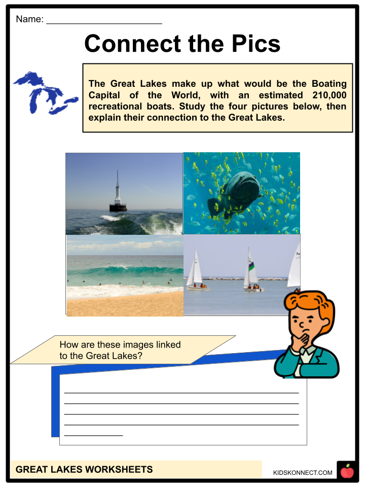
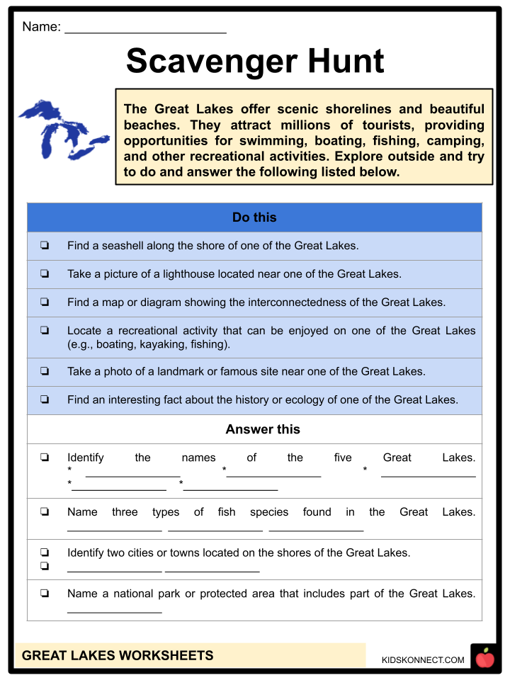
- The benefits of the lakes for a wide range of recreational pursuits are enormous. Sailing and powerboating have become popular, and many marinas have been constructed.
- The lakeshore is lined with kilometers of excellent sandy beaches. Hundreds of camping, picnicking, and park spaces are available for a strong tourism business on state, provincial, federal, and county-owned territories.
HUMAN IMPACT ON THE GREAT LAKES
- The numerous uses for the lakes frequently compete with one another. For instance, the hydropower and shipping industries prefer greater water levels.
- At the same time, property owners near the shoreline find that high levels hasten shoreline erosion.
- According to environmentalists, the best approach to protect the purity of the lake waters is to divert treated sewage away from the lakes, as is done in Chicago and other cities.
- Whatever method is used, it is evident that the plant and animal life of the lakes has changed and that these changes are related to an increase in the number of introduced chemicals, a reduction in the amount of dissolved oxygen in some areas, and the buildup of sewage sludge on lake bottoms close to urban areas.
- Around 1900, notable changes started to emerge in tandem with increased habitation near the lakes.
- The increasing number of beaches closing after 1950 due to pollution was the most dramatic example of how the lakes were misused.
- Still, the less obvious buildup of toxic substances in wildlife, mainly fish and fish-eating birds, had much more severe repercussions.
- It was discovered that pollution might negatively impact all uses, either directly or indirectly, by increasing the cost of water treatment, eradicating valuable fish species, making other species unfit for human consumption, and devaluing waterfront real estate. Officials in Canada and the United States have been working together extensively to fight pollution since the 1970s, and as a result, water quality has improved, and some fish populations have recovered.
STUDY AND EXPLORATION
- Numerous American Indian tribes lived for millennia in the Great Lakes region.
- The lakes played a crucial role in the exploration and development of North America due to the colonization and migration of European peoples.
- The discovery of an ax, a broken sword, a shield boss near Nipigon Lake, and a rune stone at Kensington, Minnesota, and Ontario led to earlier speculation that Vikings explored the area in the 14th century.
- Still, it is much more likely that the first Europeans arrived in the area in 1535 when French explorer Jacques Cartier traveled to the St. Lawrence River to modern-day Montreal to search for a route to the Orient.
- The Huron Indians had told him of the vast oceans that lay beyond. Still, the Iroquois, hostile to European settlers, controlled the upper St. Lawrence and Lake Ontario.
- As a result, Samuel de Champlain, another notable French explorer of North America, continued his exploration by traveling to Georgian Bay via the French River, Lake Nipissing, and the Ottawa River.
- He was the first European to glimpse the Great Lakes when he arrived at Lake Huron in 1615.
- To find a way to China, Champlain sent Jean Nicolet in 1634 to lead an expedition into Lake Michigan, along Green Bay, and to the Fox River, where he came into contact with the Winnebago Indians.
- René-Robert Cavelier, Lord de La Salle, and other French explorers also explored the lakes, made peace with the Indians, and founded early villages.
- Three significant battles impacted the history and growth of the Great Lakes. The cession of Canada to England marked the end of the French and Indian War (1754-63), a conflict between the French and British over lucrative fur-producing areas.
- The relocation of thousands of loyalists to New Brunswick, Nova Scotia, Quebec, and Ontario, as well as the creation of the current international border between the United States and Canada, were the principal effects of the American Revolution (1775-83) on the Great Lakes region.
- During the War of 1812, significant naval combat took place on Lake Erie.
- The first real scientific journey to the Great Lakes was not conducted until 1848, even though numerous early explorers noted observations of brief variations in water levels in early geographic works. Headed by the Swiss naturalist Louis Agassiz, it focused on research of Lake Superior’s north side.
- By 1860, water level gauges had been installed in every lake, and by 1882, every body of water had been documented.
- The earliest studies of lake currents were carried out in the early 1890s, while studies of plant and animal life started in the 1870s.
- Since 1900, crises have mainly prompted research on the lakes. Two significant studies of Lake Erie were conducted due to the lake herring fishing industry’s demise in the 1920s.
- International research and collaboration for mitigating solutions have been prompted by the sea lamprey invasion in the 1930s and worries about lake pollution and eutrophication following World War II.
- Since 1980, concerns about coastline erosion and the potential consequences of global climatic change have sparked new research.
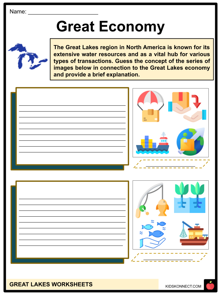
ROLES OF THE GREAT LAKE IN THE U.S. ECONOMY
- Shipping – Travel through the Great Lakes was critical to European exploration and colonization of the region, as well as North America’s industrial growth. While canal construction began in 1783, a sophisticated system of interconnecting locks and channels known as the St Lawrence Seaway or the Great Lakes Waterway currently forms a water path from the Atlantic Ocean to the continent’s center.
- This maritime route extends about 2,300 miles, and specially constructed ships known as lake carriers, or lakers, built long and flat travel the waterway.
- Some lakers can be 800 feet long, and the shipping sector transports around 44 million tonnes of bulk cargo each year, including mining materials, iron and steel, petroleum, and agricultural products.
- Mining – The same geological forces that formed the Great Lakes also resulted in massive amounts of precious ores like iron, gold, and copper, as well as coal, salt, and sand. Iron mining peaked in the 1950s, with yearly output reaching 100 million net tons.
- Today, the eastern side of Lake Michigan remains a key supplier of clean sand, but the Lake Superior Region has recently uncovered enormous chromite resources, which are required for smartphones and computers.
- Fishing – The Great Lakes served as an important source of food for thousands of years.
- Lake and rainbow trout, bass, northern pike, walleye pickerel, and whitefish, as well as seasonal runs of chinook and coho salmon on the eastern lakes, thrive in varying depths and temperatures.
- While commercial fishing supplies have been declining, with some fisheries completely disappearing, sports fishing is a popular pastime in the area and has become a significant tourist destination.
Great Lakes Worksheets
This fantastic bundle includes everything you need to know about the Great Lakes across 28 in-depth pages. These ready-to-use worksheets are perfect for teaching kids about the Great Lakes. The lakes are Lake Michigan, Lake Huron, Lake Erie, Lake Ontario, and Lake Superior.
Complete List of Included Worksheets
Below is a list of all the worksheets included in this document.
- Great Lakes Facts
- On the Map
- Connect the Pics
- Unjumble
- Word Pool
- Great Economy
- Paint it to Show it
- Shipwreck
- Scavenger Hunt
- One of the Great Lakes
- What so Great About it?
Frequently Asked Questions
How many Great Lakes are there?
There are five Great Lakes: Lake Superior, Lake Michigan, Lake Huron, Lake Erie, and Lake Ontario.
Which Great Lake is the largest by surface area?
Lake Superior is the largest of the Great Lakes by surface area. It covers an area of about 82,100 square kilometers (31,700 square miles).
What is the deepest point in the Great Lakes?
The deepest point in the Great Lakes is located in Lake Superior. It is called the “Hole-in-the-Wall” and reaches a depth of approximately 405 meters (1,333 feet).
Which city is known as the “Great Lakes City”?
Chicago, Illinois, is often referred to as the “Great Lakes City” because it is located on the shores of Lake Michigan and serves as a major hub for commerce, transportation, and tourism in the region.
What are some notable natural features in the Great Lakes region?
The Great Lakes region is home to several notable natural features, including Niagara Falls (located between Lake Erie and Lake Ontario), Pictured Rocks National Lakeshore (on Lake Superior), Sleeping Bear Dunes National Lakeshore (on Lake Michigan), and the Thousand Islands archipelago (in the St. Lawrence River between Lake Ontario and the Atlantic Ocean).
Link/cite this page
If you reference any of the content on this page on your own website, please use the code below to cite this page as the original source.
Link will appear as Great Lakes Facts & Worksheets: https://kidskonnect.com - KidsKonnect, August 2, 2023
Use With Any Curriculum
These worksheets have been specifically designed for use with any international curriculum. You can use these worksheets as-is, or edit them using Google Slides to make them more specific to your own student ability levels and curriculum standards.


