Premium  Download Edit
Download the Pyrenees Mountains Facts & Worksheets
Click the button below to get instant access to these worksheets for use in the classroom or at a home.
Download This Worksheet
This download is exclusively for KidsKonnect Premium members!
To download this worksheet, click the button below to signup (it only takes a minute) and you'll be brought right back to this page to start the download!
Sign Me Up
Edit This Worksheet
Editing resources is available exclusively for KidsKonnect Premium members.
To edit this worksheet, click the button below to signup (it only takes a minute) and you'll be brought right back to this page to start editing!
Sign Up
Not ready to purchase a subscription? Click to download the free sample version Download sample
Download This Sample
This sample is exclusively for KidsKonnect members!
To download this worksheet, click the button below to signup for free (it only takes a minute) and you'll be brought right back to this page to start the download!
Sign Me Up
Table of Contents
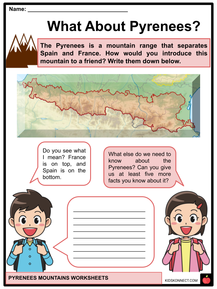
The Pyrenees is a mountain range in southwest Europe that serves as a physical border between Spain and France, with a small country, Andorra, in between them.
See the fact file below for more information on Pyrenees Mountains, or you can download our 28-page Pyrenees Mountains worksheet pack to utilize within the classroom or home environment.
Key Facts & Information
GEOGRAPHY
- The Pyrenees, also known as the Pirineos in Spanish, Pyrénées in French, or Pireneus in Catalan, is a mountain range made up of folded linear fields and flat-topped massifs. It is divided into three major regions: the Western, Central, and Eastern Pyrenees.
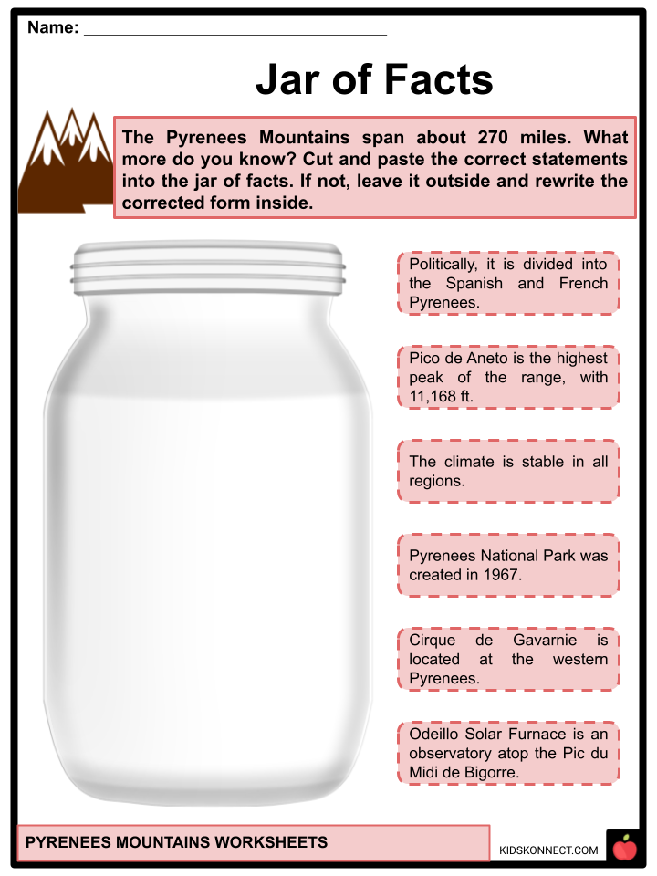
- The mountains span 270 miles (434.5 km) from the Mediterranean Sea in the east and to the Atlantic Ocean in the west. At the eastern end, it is six miles wide and 80 miles wide at the center. Many of its mountains rise to over 9,000 feet (2,743 m).
- Politically, it is divided into the Spanish and French Pyrenees. Andorra, an independent principality, is located in the eastern part of the Pyrenees mountain range.
GEOLOGY
- The Pyrenees was formed due to the collision of the Iberian and European tectonic plates, which “moved” modern Spain closer to French territory.
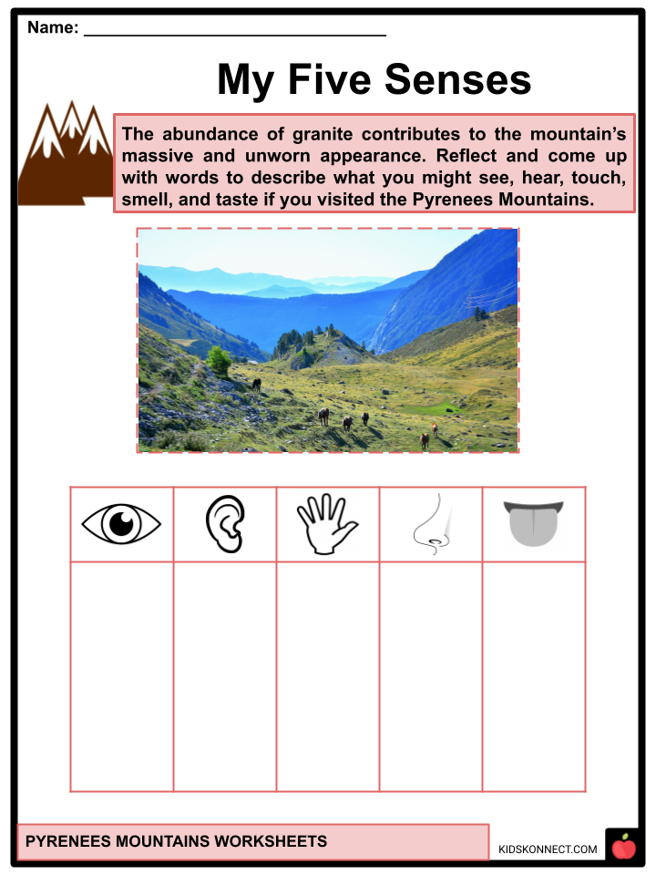
- The eastern Pyrenees are occupied by granite and gneissose rocks, while the western Pyrenees are dominated by limestone layers flanking granite peaks. The abundance of granite contributes to the chain’s massive and unworn appearance.
CLIMATE
- The Pyrenees have a mountainous climate with more precipitation and cooler average temperatures. It also serves as a climatic transition zone between the Mediterranean and Atlantic or oceanic environments.
- The climate changes from east to west in the Pyrenees Mountains. The moist air from the Atlantic Ocean causes precipitation, including snow and rain, to be much more intense in the western Pyrenees than in the eastern Pyrenees.
- The mountain range experiences -2 degrees Celsius winter temperatures on average. Between December and April, snow is visible at altitudes above 1600 meters at least 50% of the time. The annual snowline is between 2700 and 2800 meters above sea level.
RANGES AND SUMMITS
- The western and eastern can be most accessible by car and foot, whereas most central areas can only be reached on foot. The range’s highest peaks are concentrated in the central, including Pico de Posets and Pico de Aneto.
- Several of the Pyrenees’ most significant peaks include:
| Pico de Aneto (3,404 m) | Coma Pedrosa (2,944 m) |
| Pico Posets (3,375 m) | El Carlit (2,921 m) |
| Monte Peridido (3,352 m) | El Puigmal (2,910 m) |
| Cilindro de Marboré (3,325 m) | The Collarada (2,886 m) |
| Massif de Vignemale (3,298 m) | El Montardo (2,833.8 m) |
| The Pica d’Estats (3,143.1m) | The Canigou (2,784 m) |
| Punta Alta de Comalesbienes (3,014 m) | Pic du Midi de Bigorre (2,877 m) |
| Pic de Peguera (2,982 m) | The two peaks of Els Encantats (2,734.3 and 2,748.1 m) |
| Pic de Subenuix (2,950 m) | The Great Gabizos (2,692 m) |
LANDSCAPE
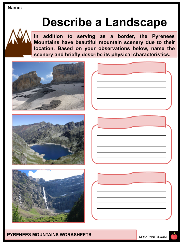
- Cirque de Gavarnie – a cirque in the central Pyrenees. The rock walls surrounding the cirque rise up to 4,452 feet.
- Grande Cascade de Gavarnie, is a tiered waterfall in the cirque with an overall drop of 422 meters. It is Europe’s second-highest waterfall.
- Pico de Aneto (Aneto Peak) – is the highest mountain in the Pyrenees that rises to a height of 11,168 feet.
- La Brèche de Roland – a 40 by 70 m natural gap in the Pyrenees opening into the cliffs is located Cirque de Gavarnie perimeter. It serves as a mountain pass that spans the entire width of the border between Spain and France.
- Lac d’Artouste – a glacial-formed natural lake located 1,997 meters above sea level in the Ossau valley, in the French Pyrenees. One of the most well-known natural settings in this area is a dam.
PLANTS
- Its climate influences the Pyrenees’ plants. The composition of the plants changes from west (similar to that of central Europe) to east (The Mediterranean in nature).
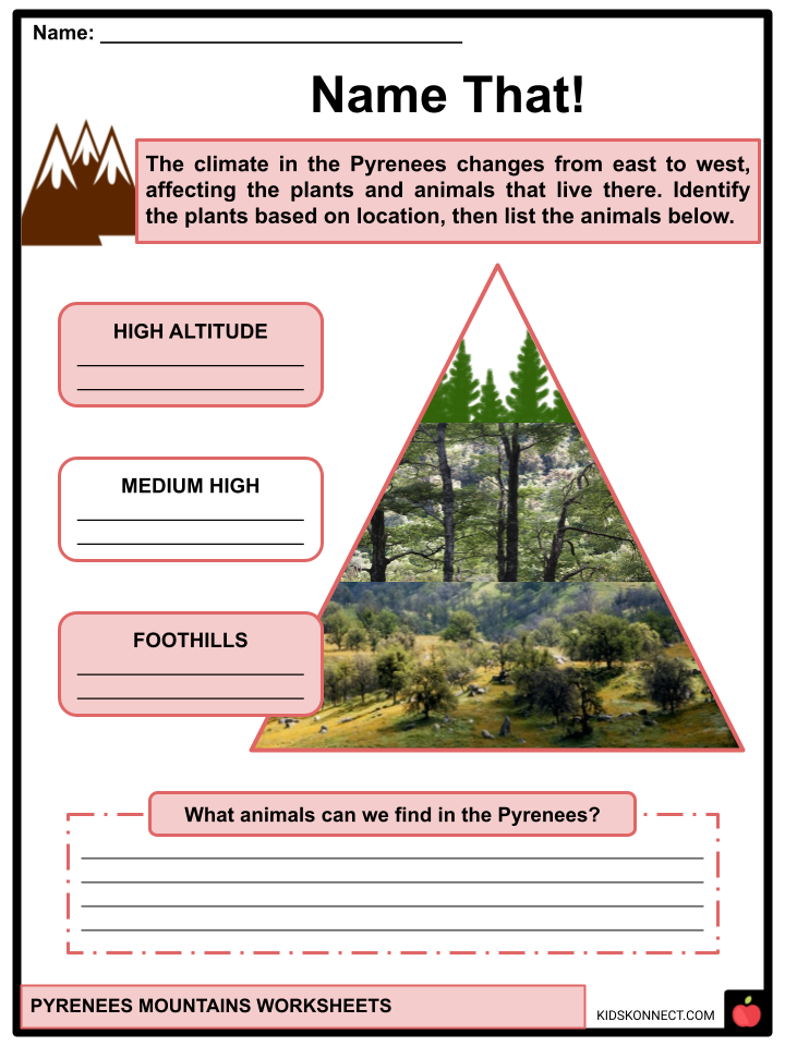
- There are about 4,500 species in the Pyrenean flora. Green meadows and holm oak forests alternate in the valleys and at the foot of the Atlantic Pyrenees. Pine at high altitude, beech and fir trees in the medium-high mountain, followed by oak and chestnut trees at the foothills.
- Many endemic plant species are found in the Pyrenees, which include the Xatardia, which is unique to high alpine, as well as Arenaria Montana, Bulbocodium vernum, and Ranunculus glacialis. Saxifrages, a genus with several endemic species, is the one with the greatest abundance of species in the range.
- In the far east, the Mediterranean’s torrential rains combine with the summer’s drought to produce huge beech trees. Irati Forest, the largest beech forest in Europe, is the largest forested area in the Pyrenees.
- There is also a wide variety of rock plants in the rocky area. Lilies, gentians, irises, orchids, and a plethora of other flowers and plants can be found here.
ANIMAL LIFE
- The Pyrenees is a vast region with various climates, resulting in a very diverse fauna from region to region.
- The Pyrenean desman can only be found on a few of the streams on the northern slopes. The Pyrenean euprocte inhabits high-altitude streams and lakes. The Pyrenean brown bear, which has been saved from extinction, and blind insects reside in the caverns of Ariège.
- Some endemic species, like the Pyrenean goat or the ibex, which mysteriously vanished between 1998 and 2001, have gone extinct.
- The Pottok or Pyrenean horse has symbolic meaning in the Basque Country. The common kestrel, marmot, wild boar, chamois, wolf, deer, Iberian lynx, eagle, falcon, etc. are other typical but not exclusive Pyrenean species.
- Birds found in the Pyrenees include the royal eagle, bee-eater, red-and-black kite, falcon, common kestrel, Pyrenean owl, or the extremely rare boreal owl, as well as the griffon vulture, Egyptian vulture, and black vulture.
NATURAL PARKS AND RESERVES
- Pyrenees National Park – a collection of natural riches with peaks rising to over 3,000 meters. It was created in 1967 and is one of the oldest and most diverse in France regarding its flora and fauna.
- Aigüestortes i Estany de Sant Maurici National Park (The winding streams and St. Maurice lake) – a mountain region in the Pyrenees, with peaks reaching a height of 3017 meters. It was established in 1955 and had an elevation range of 1600 to 3000 meters.
- Ordesa y Monte Perdido National Park – is designated as a Unesco World Heritage Site. It includes four valleys (Ordesa, Añisclo, Escuaín, and Pineta ) surrounding “Monte Perdido”. It was established in 1918, making it the country’s first protected area. It is one of Spain’s most important national parks.
SCIENTIFIC FACILITIES
- Pic du Midi Observatory – an astronomical observatory situated at the height of 2877 meters atop the Pic du Midi de Bigorre. In 1963, a 42-inch telescope was installed at the observatory and was used to take in-depth pictures of the Moon‘s surface. A Bernard Lyot Telescope also operates here.
- Odeillo Solar Furnace – the largest solar furnace in the world is located in Font-Romeu-Odeillo-Via. It is 54 meters high and 48 meters wide. This furnace is a laboratory for scientific research on materials heated to extremely high temperatures. Ten thousand mirrors make up the furnace’s field, which directs sunlight onto a large concave mirror, up to 3500 °C.
TOP THINGS TO DO IN THE PYRENEES
- Hike the Cirque de Gavarnie – It has one of the most beautiful hikes in France. The Spanish border is visible from this glacier-formed limestone.
- Ski at the Grand Tourmalet Resort – the largest ski resort with 68 pistes and more than 60 miles of terrain. There are also other ski resorts in the Pyrenees, such as the Font-Romeu and the La Mongie.
- View the stars from the Pic du Midi – located at Pic du Midi Observatory, which provides a breathtaking sky view.
- Tour the Lake Génos-Loudenvielle – It is a 1.6-mile loop trail that offers lovely lake views.
- Bike Touring – The Tour de France travels through the Pyrenees yearly, providing memorable races in opulent surroundings, where cyclists visit these roads to explore or rediscover them.
- White-water sports – that include canyoning, and kayaking, with more than 200 km of navigable rivers are available, particularly in the Aspe and Ossau valleys.
Pyrenees Worksheets
This is a fantastic bundle that includes everything you need to know about Pyrenees Mountains across 28 in-depth pages. These are ready-to-use worksheets that are perfect for teaching kids about Pyrenees Mountains, which are located in southwest Europe that serves as a physical border between Spain and France, with Andorra, in between them.

Complete List of Included Worksheets
Below is a list of all the worksheets included in this document.
- Pyrenees Mountains Facts
- What about Pyrenees?
- Jar of Facts
- Our Five Senses
- Top Peaks
- Describe a Landscape
- Name That!
- National Park Field Trip
- Facility Search
- Postcard from Pyrenees
- Have Fun at Pyrenees
Frequently Asked Questions
What are the Pyrenees Mountains known for?
The Pyrenees are a beautiful mountain range in Europe. People visit these mountains to see the incredible natural scenery and on religious pilgrimages. The mountains are covered in forests, and there are green valleys, rushing rivers, and lovely lakes. The towns along the rivers are very important places.
Why are the Pyrenees important?
The Pyrenees serve as a natural border between Spain and France. Andorra is located in the mountain range and is a principality that is one of the accesses to Spain.
How old are the Pyrenees Mountains?
The Pyrenees range was formed approximately 65 million years ago by the collision of the tiny Iberian and Eurasian plates, as well as severe erosion from ice and water.
Link/cite this page
If you reference any of the content on this page on your own website, please use the code below to cite this page as the original source.
Link will appear as Pyrenees Mountains Facts & Worksheets: https://kidskonnect.com - KidsKonnect, September 30, 2022
Use With Any Curriculum
These worksheets have been specifically designed for use with any international curriculum. You can use these worksheets as-is, or edit them using Google Slides to make them more specific to your own student ability levels and curriculum standards.


