Premium
 Download
Edit
Download
Edit
Download the South China Sea Facts & Worksheets
Click the button below to get instant access to these worksheets for use in the classroom or at a home.
Download This Worksheet
This download is exclusively for KidsKonnect Premium members!
To download this worksheet, click the button below to signup (it only takes a minute) and you'll be brought right back to this page to start the download!
Sign Me Up
Edit This Worksheet
Editing resources is available exclusively for KidsKonnect Premium members.
To edit this worksheet, click the button below to signup (it only takes a minute) and you'll be brought right back to this page to start editing!
Sign Up
Not ready to purchase a subscription? Click to download the free sample version Download sample
Download This Sample
This sample is exclusively for KidsKonnect members!
To download this worksheet, click the button below to signup for free (it only takes a minute) and you'll be brought right back to this page to start the download!
Sign Me Up
Table of Contents
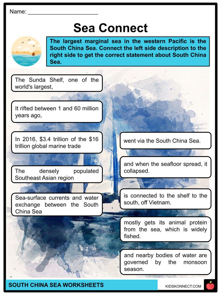
The largest marginal sea in the western Pacific is the South China Sea. Under the 1982 United Nations Convention on the Law of the Sea, the Philippine government maintains its sovereign rights over the West Philippine Sea area. Occasionally, the name is misused to encompass the entirety of the South China Sea.
See the fact file below for more information about the South China Sea, or you can download our 24-page South China Sea worksheet pack to utilize within the classroom or home environment.
Key Facts & Information
BACKGROUND INFORMATION
- The China Sea is made up of the East and South China Seas.
- The seafloor rise that separates Sumatra and Borneo forms the South China Sea’s southern boundary, while the Taiwan Strait, which connects Taiwan’s northernmost point to the coast of China’s Fujian province, forms the seawater’s northern limit.
- In 2016, $3.4 trillion of the $16 trillion global marine trade went via the South China Sea.
- There have been discoveries of natural gas and oil reservoirs nearby. In 2010, the Western Central Pacific constituted 14% of the global commercial fishing fleet.
PHYSIOGRAPHY
- The sea’s principal feature is a deep, rhombus-shaped basin in its eastern region, where reef-studded shoals rise sharply to the northwest (Macclesfield banks) and south (Reed and Tizard banks and the Nanshan Island area).
- The continental shelf forms the Palawan Trough close to the Philippine islands of Palawan and Luzon, where it dips off dramatically in the latter. This is the eastern edge of the basin. A broad, shallow shelf that stretches up to 150 miles (240 km) wide runs along the northwest border of the basin and leads to the mainland.
- The vast islands of Hainan and Taiwan, as well as the Taiwan Strait and the Gulf of Tonkin, are all part of this shelf.
- The Sunda Shelf, one of the world’s largest, is connected to the shelf to the south, off Vietnam. It spans the region between Borneo, Sumatra, and the Malay Peninsula, as well as the southern regions of the South China Sea, the Gulf of Thailand, and the Java Sea. This wide trough has a maximum depth of 330 feet (100 meters) in its center and a maximum depth of 130 feet (40 meters) along its perimeter. A system of submerged river valleys that connects to the China Sea Basin and the Sunda Depression is located at the bottom of the shelf.
- Submerged valleys have contributed littoral sediments that cover the Sunda Shelf. The continental shelf near the Mekong and Red river deltas is characterized by an inner zone of mud, but clay makes up the majority of the sediment in the deeper regions of the South China Sea.
CLIMATE and HYDROLOGY
- Sea weather is tropical and mostly influenced by monsoons. Monsoonal winds primarily originate from the southwest in the summer and from the northeast in the winter.
- Around the southern basin, annual rainfall ranges from roughly 80 inches (2,000 mm) to more than 120 inches (3,000 mm). In summer, typhoons occur frequently.
- The South China Sea receives its surface flow in August from the Java Sea, passing through the straits of Karimata and Gelasa (Gasper). The general flow is north-easterly close to the mainland, exiting through the straits of Taiwan and Luzon.
- On the eastern side of the ocean, there is a slight countercurrent.
- The flow is normally toward the southwest in February; the strongest flow is in the summer along Vietnam’s bulging region, when the strong southwestern monsoon causes velocities of up to 3.5 miles per hour (5.6 km/h).
- As a result, the central Vietnamese seas are home to upwelling zones with lower surface temperatures and higher nutrient contents.
- The principal rivers that empty into the South China Sea include the Mekong River, which is close to Ho Chi Minh City (Saigon), Vietnam; the Red River at Haiphong, Vietnam; and the tributaries of the Pearl (Zhu) River Delta, which are located south of Guangzhou, China.
- The Mekong triples its yearly average flow during the wet summer months, and the Red River’s flow varies much more proportionally.
ECONOMIC ASPECTS
- The marine life in the South China Sea is abundant. The vast amounts of nutrient-rich runoff from the land and the water upwelling in some parts of the sea both contribute to this abundance.
- The several species of tuna, mackerel, croaker, anchovy, shrimp, and shellfish are the most prevalent. Almost all of the catch is eaten on the spot, either raw or preserved.
- Huge natural gas and oil deposits have been found beneath the South China Sea’s surface. The primary regions for producing hydrocarbons are northwest of Palawan, east of the Malay Peninsula, and north of Borneo.
- The South China Sea and the Strait of Malacca serve as the primary routes to and from ports in the Pacific and Indian oceans.
- Food and manufactured products tend to travel south, while minerals and oil tend to move north.
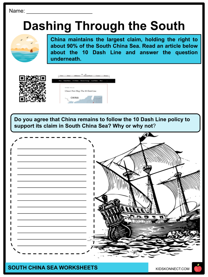
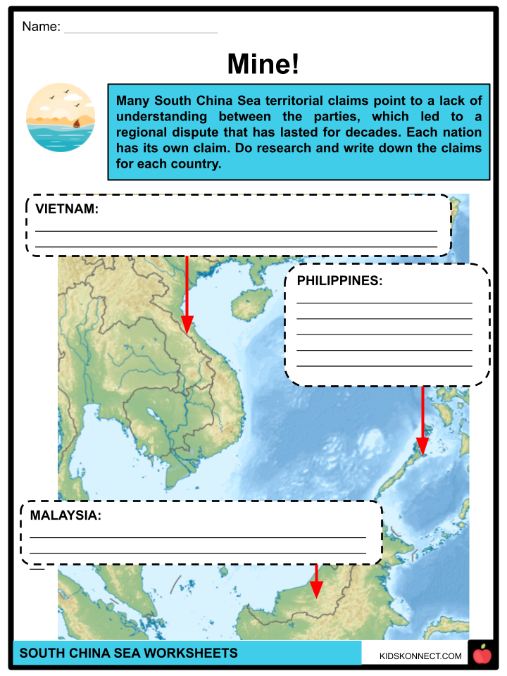
- More recently, a “dangerous” designation has also resulted from international territorial disputes, particularly over the Spratly Islands, which lie in the oil-rich zone between Malaysia, Brunei, the Philippines, and Vietnam; those four countries, along with China and Taiwan, have laid some claim to the group. Some areas in the central South China Sea are not well sounded, and nautical charts bear the notation “dangerous ground.”
CONFLICTS
- The intricate network of conflicting territorial claims in the South China Sea involves six parties. Various historical accounts are used by China, Taiwan, the Philippines, Vietnam, Malaysia, and Brunei to support their claims of sovereignty.
- Because an EEZ can be declared up to 200 nautical miles from the baseline, Philippine sovereignty appears stronger under UNCLOS regulations. Both groups of islands are within the Philippine EEZ and are officially recognized as such under UNCLOS. They are located 400 nautical miles closer to the Philippines than they are to China. Tensions in the SCS have increased as a result of China, Malaysia, and Vietnam objecting to the Philippines’ claims despite the fact that they are compliant with UNCLOS.
- China argues that international law prohibits foreign military from conducting intelligence-gathering operations in its exclusive economic zone (EEZ), including reconnaissance flights. The United States asserts that claimant nations are exempt from notification requirements regarding military operations and are entitled to freedom of navigation across Exclusive Economic Zones (EEZs) in the sea under the UN Convention on the Law of the Sea (UNCLOS).
- President Ferdinand R. Marcos Jr. of the Philippines spent his first year in office fortifying Manila’s alliance with its longest friend, the United States, in response to China’s assertive claims in the South China Sea. He is now enlisting the aid of a larger and more recent network of allies.
South China Sea Worksheets
This fantastic bundle includes everything you need to know about the South China Sea across 24 in-depth pages. These ready-to-use worksheets are perfect for teaching kids about the South China Sea. Under the 1982 United Nations Convention on the Law of the Sea, the Philippine government maintains its sovereign rights over the West Philippine Sea area. Occasionally, the name is misused to encompass the entirety of the South China Sea.

Complete List of Included Worksheets
Below is a list of all the worksheets included in this document.
- South China Sea Facts
- Sea Connect
- Sea the Truth
- Dashing Through the South
- Sea the Importance
- Mine!
- Sea the Facts
- Please welcome, USA!
- Law of the Sea
- The Way I Sea it
- Sea for Yourself
Frequently Asked Questions
What countries are involved in disputes over the South China Sea?
The South China Sea dispute primarily involves China, Vietnam, the Philippines, Malaysia, Brunei, and Taiwan. These countries claim overlapping territories within the region, leading to tensions over maritime boundaries and resource exploitation.
What are the main reasons for the disputes in the South China Sea?
The disputes in the South China Sea stem from competing territorial claims, rich fishing grounds, potential oil and gas reserves, strategic shipping routes, and the desire for geopolitical influence. Additionally, historical claims and national pride play significant roles in perpetuating these disputes.
What is the significance of the South China Sea internationally?
The South China Sea holds immense geopolitical significance due to its strategic location as a major shipping route, connecting the Pacific and Indian Oceans. It is also rich in natural resources, including fisheries and potential oil and gas reserves. Moreover, control over the region provides a significant advantage in projecting military power and influence in Asia.
How have international organizations addressed the South China Sea disputes?
International organizations, such as the United Nations and the Association of Southeast Asian Nations (ASEAN), have attempted to mediate the disputes through dialogue and diplomatic negotiations. However, reaching a comprehensive resolution has been challenging due to the complex geopolitical interests involved and the lack of a binding mechanism for dispute resolution.
What are the potential risks associated with the tensions in the South China Sea?
The tensions in the South China Sea pose various risks, including the potential for military escalation, disruptions to global trade and commerce, environmental degradation due to overfishing and maritime accidents, and the erosion of trust and cooperation among regional actors. Moreover, heightened tensions could exacerbate existing geopolitical rivalries and undermine regional stability.
Link/cite this page
If you reference any of the content on this page on your own website, please use the code below to cite this page as the original source.
Link will appear as South China Sea Facts & Worksheets: https://kidskonnect.com - KidsKonnect, June 5, 2024
Use With Any Curriculum
These worksheets have been specifically designed for use with any international curriculum. You can use these worksheets as-is, or edit them using Google Slides to make them more specific to your own student ability levels and curriculum standards.